Tumble Creek Falls
Clackamas County, Oregon
Your visit at a glance
- Waterfall height
- Not recorded
- Location
- Clackamas County, Oregon
- Access status
- Gravel park trail to a footbridge below the falls
- The walk
- No separate distance to the falls is published; the out-and-back to the end of the Tumble Falls Trail is 1.5 miles
- Ground & access
- Gravel trail at least 4 feet wide with some short steep sections; shared with mountain bikes. A rockfall area begins just past the bridge.
Tumble Creek cascades down through the forest understory to a long footbridge on the Tumble Falls Trail in Metro's Newell Creek Canyon Nature Park in Oregon City. From the parking area at 485 Warner Milne Road, walk past the picnic area to the powerline corridor and around the gate onto the gravel Tumble Falls Trail. Descend past the junctions with the bike-only Shady Lane trail, stay on the wide gravel trail past the Canyon Spring Loop junction, cross a large footbridge, and continue to the long footbridge below Tumble Falls. Return the same way, uphill.
Plan your visit
Newell Creek Canyon Nature Park trailhead on Warner Milne Road, gravel Tumble Falls Trail to the footbridge below the falls
Metro gives 1.5 miles in-and-out to the end of the Tumble Falls Trail; the footbridge below the falls is on this trail before its end.
Gravel trail at least 4 feet wide with some short steep sections; shared with mountain bikes. A rockfall area begins just past the bridge.
Where to start
Paved parking lot at the park entrance, 485 Warner Milne Road, Oregon City; Oregon Hikers counts 20 spaces, 2 of them accessible.
Timing & water
Open sunrise to sunset. Metro asks visitors to stay off the trails after heavy rain.
Before you go
No fee is mentioned. No dogs allowed.
Visitor informationVisit sources
More waterfalls nearby
Within 40 straight-line miles. Road and trail distances will differ.
- Coffee Creek FallsClackamas County, OR1.8 miNW
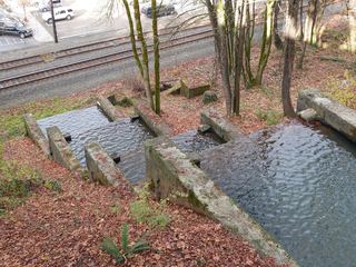 Singer FallsPartial guide: public stair route documented; parking not describedClackamas County, OR1.9 miNW
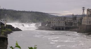 Willamette FallsPublic roadside viewpoint with parking documented39 ft (12 m) · Clackamas County, OR2.1 miNW
- Hidden FallsPaved park trail to a bridge view documentedClackamas County, OR7.1 miNE
- Knapp FallsMultnomah County, OR9.4 miN
- Jane Martin WaterfallGarden waterfall on paved paths inside a public garden with admissionMultnomah County, OR10 miN
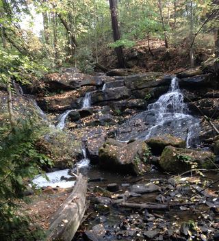 Cedar Mill FallsPartial guide: short boardwalk walk; permission to park in the church lot is not statedWashington County, OR17 miNW
- Lower Clackamas FallsClackamas County, OR20 miSE
- Clackamas FallsClackamas County, OR20 miSE