Pacific Crest Falls
Hood River County, Oregon
Your visit at a glance
- Waterfall height
- Not recorded
- Location
- Hood River County, Oregon
- Access status
- Pacific Crest Trail hike to a trailside waterfall
- The walk
- 7.4 miles round trip
- Ground & access
- Undulating trail with steep side slopes, one heavily eroded gully crossing and plenty of poison oak. Burned forest from a wildfire.
Pacific Crest Falls is a two-tiered, 100-foot waterfall that pours through a narrow slot just above the Pacific Crest Trail east of Cascade Locks. From the Bridge of the Gods Trailhead, cross the road and follow the PCT beside I-84, walk about 100 yards on Moody Street under the freeway, and pick up the PCT at the parking area with restrooms. The trail climbs gradually, follows a powerline road a short way, and drops to Dry Creek; an optional rough track leads 0.2 mile up to Dry Creek Falls. Cross the Dry Creek bridge and continue east past the Herman Creek Pinnacles spur. About 0.1 mile farther the PCT crosses the creek below Pacific Crest Falls. Return the same way.
Plan your visit
Bridge of the Gods Trailhead in Cascade Locks, east on the Pacific Crest Trail past Dry Creek to Pacific Crest Falls
Oregon Hikers gives 7.4 miles round trip, out and back, from the Bridge of the Gods Trailhead to Pacific Crest Falls.
Undulating trail with steep side slopes, one heavily eroded gully crossing and plenty of poison oak. Burned forest from a wildfire.
Where to start
Bridge of the Gods Trailhead off I-84 Exit 44 in Cascade Locks: bear right for the Bridge of the Gods and turn right into the lot. It fills early on weekends. The PCT Harvey Road Trailhead is the other parking option.
Timing & water
All year. Flow is modest in summer; the falls are best in the rainy season.
Before you go
Oregon Hikers lists a Northwest Forest Pass for the Bridge of the Gods Trailhead.
Visitor informationVisit sources
- Oregon Hikers Field Guide: Herman Creek Pinnacles via the PCT Hike
- Oregon Hikers Field Guide: Herman Creek Pinnacles via the PCT Hike
- Oregon Hikers Field Guide: Herman Creek Pinnacles via the PCT Hike
- Oregon Hikers Field Guide: Herman Creek Pinnacles via the PCT Hike
- Oregon Hikers Field Guide: Herman Creek Pinnacles via the PCT Hike
- Oregon Hikers Field Guide: Bridge of the Gods Trailhead
- Oregon Hikers Field Guide: Pacific Crest Falls
More waterfalls nearby
Within 40 straight-line miles. Road and trail distances will differ.
- Nick Eaton FallsEstablished trail from Herman Creek TrailheadHood River County, OR1.2 miE
- Dry Creek FallsEstablished Pacific Crest Trail route from Cascade Locks72 ft (22 m) · Hood River County, OR1.3 miSW
- Lower Rock Creek Falls53 ft (16.2 m) · Skamania County, WA3.3 miNW
- Upper Rock Creek Falls39 ft (12 m) · Skamania County, WA3.4 miNW
- Gorton Creek FallsPartial guide: official trail ends at Emerald Falls; last 100 yards is an unofficial creek scrambleHood River County, OR3.6 miE
- Emerald FallsShort creekside trail to the end of the official pathHood River County, OR3.7 miE
- Sorenson FallsDistant trail view of the lower tier documented164 ft (50 m) · Hood River County, OR3.9 miSW
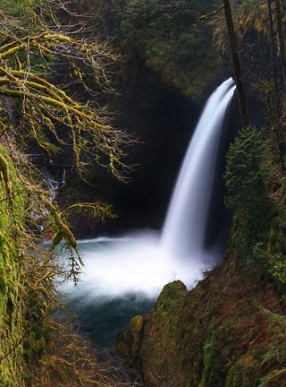 Metlako FallsCollapsed overlook; limited main-trail sighting reported102 ft (31 m) · Hood River County, OR3.9 miSW
- Lower Ruckel Creek FallsPartial guide: parking start and walking distance not describedHood River County, OR3.9 miSW