Metlako Falls
Hood River County, Oregon
Your visit at a glance
- Waterfall height
- 102 ft (31 m)
- Location
- Hood River County, Oregon
- Access status
- Collapsed overlook; limited main-trail sighting reported
- The walk
- No measured distance claimed to a safe current sighting
- Ground & access
- Narrow canyon trail and unstable undercut cliff edges near the destroyed overlook. A guaranteed unobstructed waterfall viewpoint is not established.
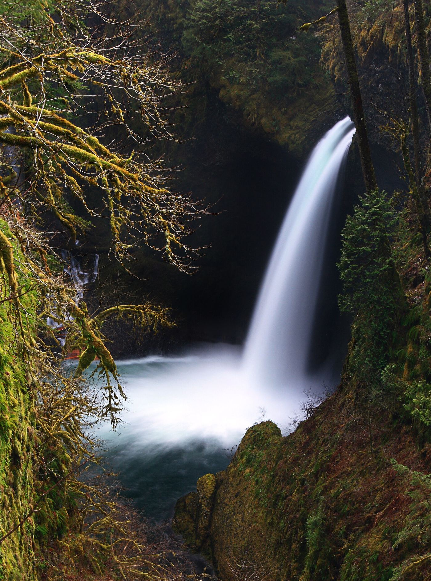
Travel Oregon confirms that the former Metlako overlook collapsed in December 2016. Trailkeepers of Oregon describes limited views from the main Eagle Creek Trail before Sorenson Creek, but warns against leaving the trail for the unstable rim. No reopened overlook was verified. Stay on the main trail; do not seek the former spur or scramble toward the cliff edge.
Plan your visit
Eagle Creek Trail: limited main-trail sighting only
Only the stated source distance is supported; mapped proximity is not a walking distance.
Narrow canyon trail and unstable undercut cliff edges near the destroyed overlook. A guaranteed unobstructed waterfall viewpoint is not established.
Where to start
Pacific Crest Trail Association documents Eagle Creek Trailhead parking via eastbound I-84 Exit 41, with overflow at the Eagle Creek Day Use Trailhead passed on the entrance road. Westbound drivers use Exit 40 to rejoin eastbound I-84. This parking serves Eagle Creek Trail and does not restore access to the collapsed overlook.
Timing & water
Check Eagle Creek trail closures before visiting. The former overlook remains unsuitable as a destination in the reviewed sources.
Before you go
PCTA states a day pass is required for trailhead parking.
Visitor informationVisit sources
More waterfalls nearby
Within 40 straight-line miles. Road and trail distances will differ.
- Sorenson FallsDistant trail view of the lower tier documented164 ft (50 m) · Hood River County, OR0.0 miE
 Lower Punch Bowl FallsCanyon trail and spur to the shoreline beside the falls12 ft (3.7 m) · Hood River County, OR0.2 miSE
 Punch Bowl FallsResearched visit notes36 ft (11 m) · Hood River County, OR0.3 miS
- Wauna FallsHood River County, OR0.6 miNW
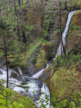 Loowit FallsEstablished cliffside trail to a viewpoint across the canyon78 ft (23.8 m) · Hood River County, OR1.3 miSE
- Skoonichuk FallsEstablished cliffside trail to a trailside view48 ft (14.6 m) · Hood River County, OR1.7 miSE
- Lower Ruckel Creek FallsPartial guide: parking start and walking distance not describedHood River County, OR1.7 miNW
- Four Mile Falls95 ft (28.9 m) · Hood River County, OR1.9 miSE
- Tenas FallsLong trail to a bridge-side view documented18 ft (5.5 m) · Hood River County, OR2.0 miSE