Loowit Falls
Hood River County, Oregon
Your visit at a glance
- Waterfall height
- 78 ft (23.8 m)
- Location
- Hood River County, Oregon
- Access status
- Established cliffside trail to a viewpoint across the canyon
- The walk
- No separate distance; the viewpoint is shortly before the High Bridge, about 3 miles up the trail
- Ground & access
- Gently graded trail blasted into cliffs, with sheer drop-offs and cable handrails in places. Not recommended for small children, dogs or people afraid of heights.
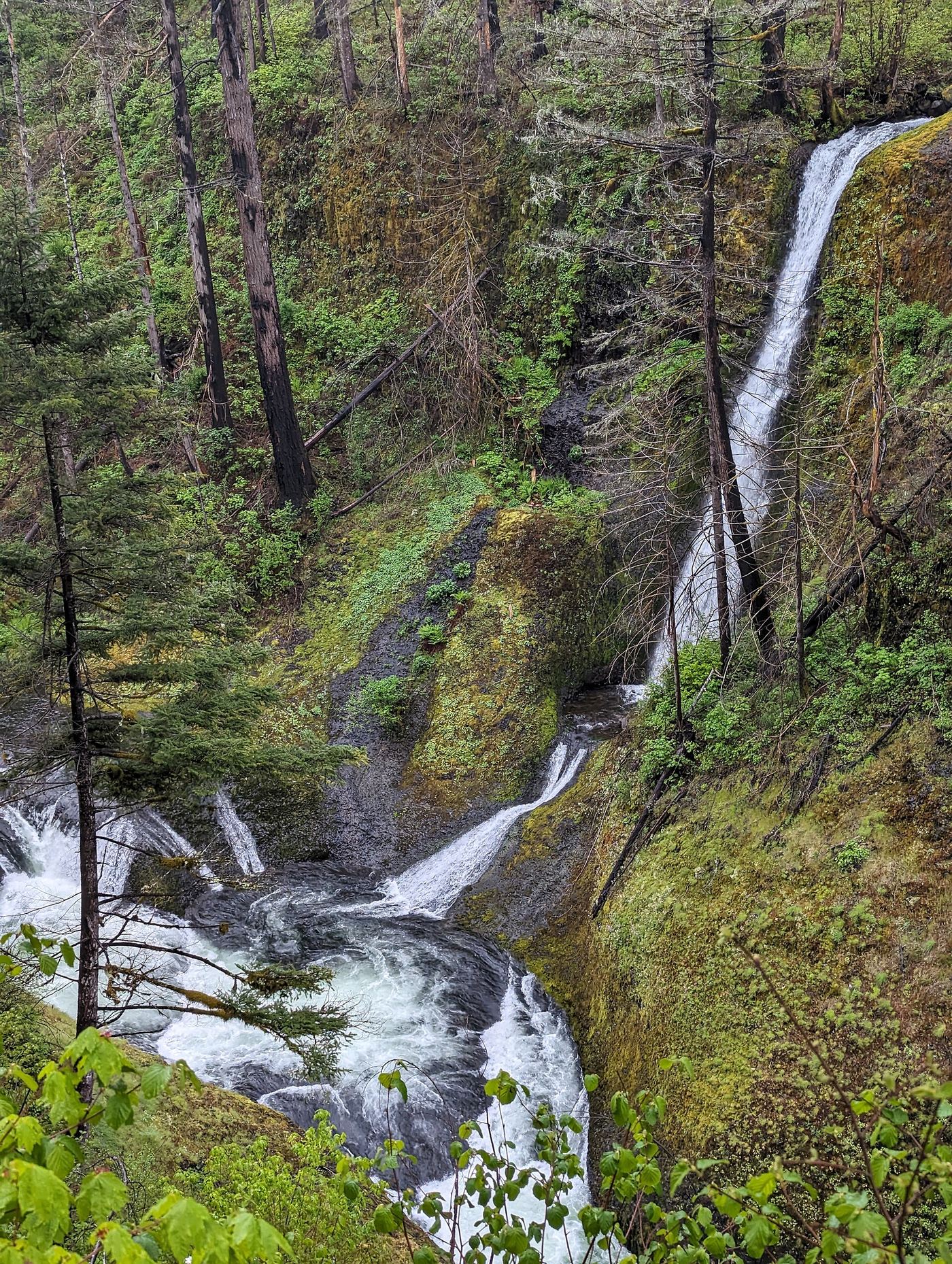
Loowit Falls is a thin veil on a side stream that drops into Eagle Creek across the canyon from the Eagle Creek Trail. From the Eagle Creek Trailhead, follow the trail up the canyon past the Punch Bowl Falls overlook, the Tish Creek Bridge and the Fern Creek Bridge. After a third cable-railed section on a high cliff, an exposed cliff viewpoint looks across to Loowit Falls splashing into a pool with a final short drop to Eagle Creek. The High Bridge is just beyond. Return the same way. This is a different waterfall from Loowit Falls at Mount St. Helens.
Plan your visit
Eagle Creek Trailhead, Eagle Creek Trail #440 to an exposed cliff viewpoint of Loowit Falls before the High Bridge
Oregon Hikers places the Loowit Falls view at an exposed cliff viewpoint shortly before the High Bridge. USFS says the High Bridge is about 3 miles up the trail. No separate distance to the viewpoint is given.
Gently graded trail blasted into cliffs, with sheer drop-offs and cable handrails in places. Not recommended for small children, dogs or people afraid of heights.
Where to start
Eagle Creek Trailhead at the end of the road from I-84 Exit 41 (eastbound only), 0.5 mile past the day-use area. If full, use the Eagle Creek Day Use Trailhead. Car break-ins are common; do not leave valuables.
Timing & water
No seasonal closure is stated. The trail is crowded on summer weekends.
Before you go
USFS lists a $5 per vehicle day-use fee or a valid recreation pass at the Eagle Creek trailhead.
Visitor informationVisit sources
More waterfalls nearby
Within 40 straight-line miles. Road and trail distances will differ.
- Skoonichuk FallsEstablished cliffside trail to a trailside view48 ft (14.6 m) · Hood River County, OR0.4 miSE
- Four Mile Falls95 ft (28.9 m) · Hood River County, OR0.6 miSE
- Tenas FallsLong trail to a bridge-side view documented18 ft (5.5 m) · Hood River County, OR0.7 miSE
 Punch Bowl FallsResearched visit notes36 ft (11 m) · Hood River County, OR1.0 miNW
 Lower Punch Bowl FallsCanyon trail and spur to the shoreline beside the falls12 ft (3.7 m) · Hood River County, OR1.1 miNW
- Sorenson FallsDistant trail view of the lower tier documented164 ft (50 m) · Hood River County, OR1.3 miNW
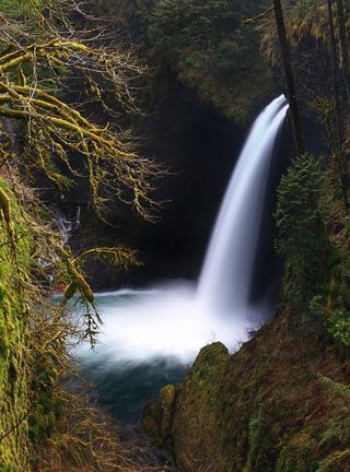 Metlako FallsCollapsed overlook; limited main-trail sighting reported102 ft (31 m) · Hood River County, OR1.3 miNW
- Wy'east FallsEstablished trail route and trailhead documented; long cliffside hike157 ft (47.8 m) · Hood River County, OR1.5 miSE
- Wauna FallsHood River County, OR1.8 miNW