Punch Bowl Falls
Hood River County, Oregon
Your visit at a glance
- Waterfall height
- 36 ft (11 m)
- Location
- Hood River County, Oregon
- The walk
- About 2 miles to the waterfall side-trail junction
- Ground & access
- Some cliff sections have no handrails. The Forest Service does not recommend this hike for children or people afraid of heights. Dogs must be leashed. Jumping or diving from Punchbowl Falls is prohibited.
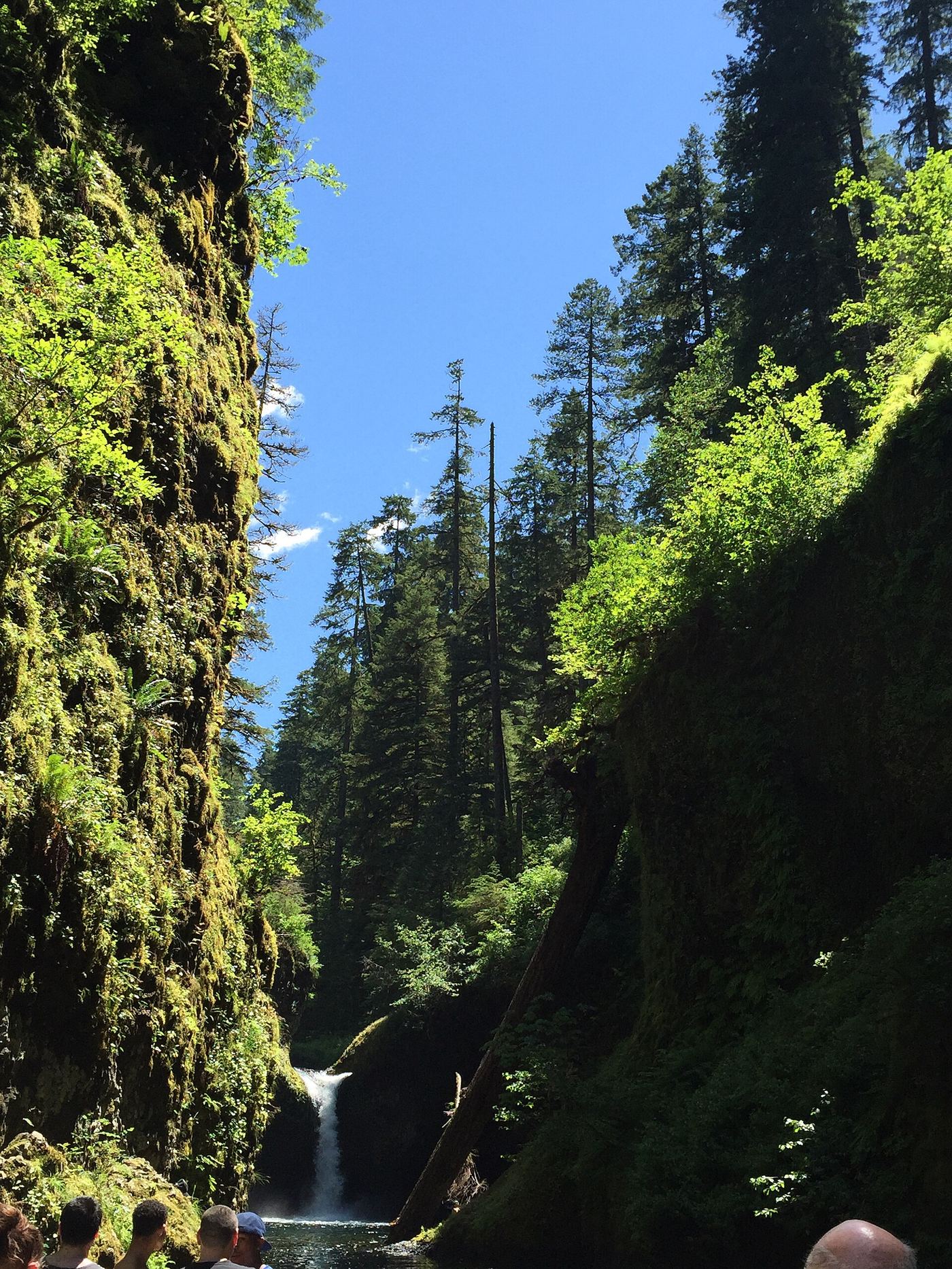
From Eagle Creek Trailhead, hike the exposed canyon trail to the Punch Bowl Falls side trail. This is the Eagle Creek waterfall, not the separate Punchbowl Falls County Park on the Hood River.
Plan your visit
Eagle Creek Trail 440 and the Punch Bowl Falls side trail
The Forest Service places the side trail about two miles up Eagle Creek Trail. Allow roughly four miles round trip plus the side-trail distance; this is not an exact parking-to-pool measurement.
Some cliff sections have no handrails. The Forest Service does not recommend this hike for children or people afraid of heights. Dogs must be leashed. Jumping or diving from Punchbowl Falls is prohibited.
Where to start
Use Eagle Creek Trailhead/Picnic Area parking, reached from eastbound I-84 exit 41. Accessible parking is listed, but the canyon trail is not described as accessible.
Timing & water
Checked October 27, 2026: Forest Service lists the site open and Big John restrooms seasonally closed. Some connecting backcountry trails remain closed; check current notices before extending the hike.
Before you go
Day use costs $5 per vehicle or a valid Recreation Pass. The free wilderness permit applies around mile five, beyond this waterfall visit.
Visitor informationMore waterfalls nearby
Within 40 straight-line miles. Road and trail distances will differ.
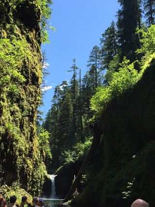 Lower Punch Bowl FallsCanyon trail and spur to the shoreline beside the falls12 ft (3.7 m) · Hood River County, OR0.1 miN
- Sorenson FallsDistant trail view of the lower tier documented164 ft (50 m) · Hood River County, OR0.3 miN
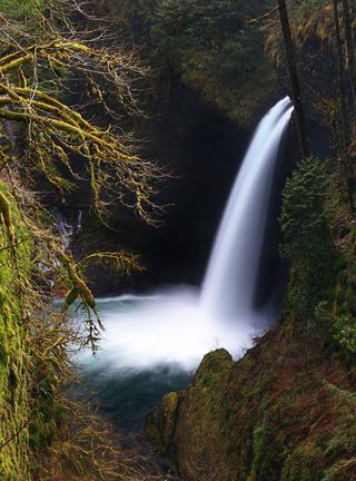 Metlako FallsCollapsed overlook; limited main-trail sighting reported102 ft (31 m) · Hood River County, OR0.3 miN
- Wauna FallsHood River County, OR0.9 miNW
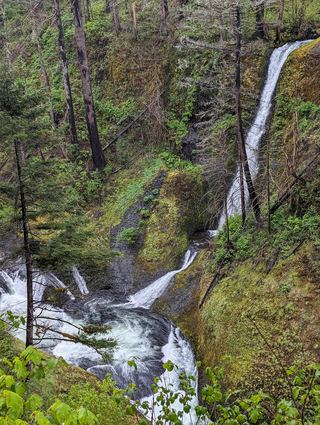 Loowit FallsEstablished cliffside trail to a viewpoint across the canyon78 ft (23.8 m) · Hood River County, OR1.0 miSE
- Skoonichuk FallsEstablished cliffside trail to a trailside view48 ft (14.6 m) · Hood River County, OR1.4 miSE
- Four Mile Falls95 ft (28.9 m) · Hood River County, OR1.6 miSE
- Tenas FallsLong trail to a bridge-side view documented18 ft (5.5 m) · Hood River County, OR1.7 miSE
- Lower Ruckel Creek FallsPartial guide: parking start and walking distance not describedHood River County, OR2.0 miNW