Lower Ruckel Creek Falls
Hood River County, Oregon
Your visit at a glance
- Waterfall height
- Not recorded
- Location
- Hood River County, Oregon
- Access status
- Partial guide: parking start and walking distance not described
- The walk
- Walking distance from parking not stated
- Ground & access
- Paved state trail, then a short informal path across a meadow to a cobbled creek in a maple grove close to the freeway.
Lower Ruckel Creek Falls spouts from a narrow defile directly below the Ruckel Creek Bridge, a stone-railed bridge of the original Columbia River Highway near Eagle Creek in the Columbia River Gorge. The old highway here is now the paved Historic Columbia River Highway State Trail, which runs from just east of Eagle Creek Campground across the Ruckel Creek Bridge. Oregon Hikers says the base can be reached by walking across a meadow just west of the bridge. No source describes the walk from a specific parking area, so the starting point is not confirmed.
Plan your visit
Historic Columbia River Highway State Trail east of Eagle Creek to the Ruckel Creek Bridge, then a short path to the base
No source gives the walking distance from a parking area to the falls.
Paved state trail, then a short informal path across a meadow to a cobbled creek in a maple grove close to the freeway.
Where to start
Not confirmed. The Eagle Creek Recreation Area is at I-84 Exit 41, which has no westbound exit.
Timing & water
Best in spring; the falls carry little water late in summer.
Before you go
Oregon Hikers lists a Northwest Forest Pass for the Eagle Creek Trailhead. No fee is mentioned for other parking.
Visitor informationVisit sources
- Oregon Hikers Field Guide: Ruckel Creek Bridge
- Oregon Hikers Field Guide: Ruckel Creek Bridge
- Oregon Hikers Field Guide: Ruckel Creek Bridge
- Oregon Hikers Field Guide: Ruckel Creek Bridge
- Northwest Waterfall Survey: Ruckel Creek Falls
- Northwest Waterfall Survey: Ruckel Creek Falls
- Oregon Hikers Field Guide: Eagle Creek Trailhead
- Oregon Hikers Field Guide: Eagle Creek Trailhead
More waterfalls nearby
Within 40 straight-line miles. Road and trail distances will differ.
- Wauna FallsHood River County, OR1.2 miSE
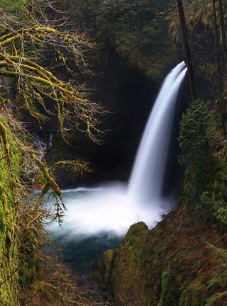 Metlako FallsCollapsed overlook; limited main-trail sighting reported102 ft (31 m) · Hood River County, OR1.7 miSE
- Sorenson FallsDistant trail view of the lower tier documented164 ft (50 m) · Hood River County, OR1.7 miSE
- Upper Munra FallsMultnomah County, OR1.8 miSW
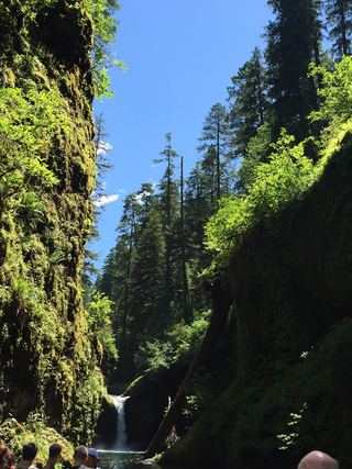 Lower Punch Bowl FallsCanyon trail and spur to the shoreline beside the falls12 ft (3.7 m) · Hood River County, OR1.9 miSE
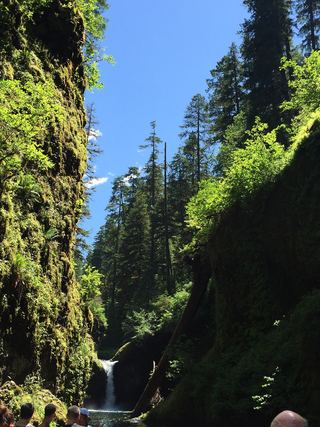 Punch Bowl FallsResearched visit notes36 ft (11 m) · Hood River County, OR2.0 miSE
- Munra FallsShort walk on an established trail from the Wahclella Falls Trailhead68 ft (20.7 m) · Multnomah County, OR2.1 miSW
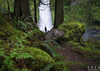 Wahclella FallsSource-reviewed route and parking127 ft (38.7 m) · Multnomah County, OR2.4 miSW
- Dry Creek FallsEstablished Pacific Crest Trail route from Cascade Locks72 ft (22 m) · Hood River County, OR2.7 miE