Munra Falls
Multnomah County, Oregon
Your visit at a glance
- Waterfall height
- 68 ft (20.7 m)
- Location
- Multnomah County, Oregon
- Access status
- Short walk on an established trail from the Wahclella Falls Trailhead
- The walk
- 0.2 mile on foot from the trailhead
- Ground & access
- Flat old road, then a narrow trail. Slides occur along this trail since the 2017 fire; USFS advises against hiking during or within 48 hours of heavy rain or snow.
Munra Falls is a slide waterfall right beside the Wahclella Falls Trail, close enough to touch from the footbridge at its base. From the Wahclella Falls Trailhead, walk the flat, gated old road along Tanner Creek to a small dam and fish ladder. Just past the dam the trail narrows and rounds a blind curve into the Mark O. Hatfield Wilderness, and the footbridge at Munra Falls is right there. Return the same way, or continue to Wahclella Falls.
Plan your visit
Wahclella Falls Trailhead at I-84 Exit 40, Wahclella Falls Trail #436 past the fish hatchery dam to the bridge at Munra Falls
Oregon Hikers gives 0.2 mile on foot from the Wahclella Falls Trailhead to Munra Falls. Northwest Waterfall Survey gives about 1/5 mile.
Flat old road, then a narrow trail. Slides occur along this trail since the 2017 fire; USFS advises against hiking during or within 48 hours of heavy rain or snow.
Where to start
Wahclella Falls Trailhead: I-84 Exit 40 (Bonneville Dam), turn right and bear right again into the lot. If full, park at the Tooth Rock Trailhead up the hill.
Timing & water
USFS lists the trail for year-round use.
Before you go
USFS lists a $5 per vehicle day-use fee or a valid recreation pass. Cash and checks are not accepted at the trailhead.
Visitor informationVisit sources
More waterfalls nearby
Within 40 straight-line miles. Road and trail distances will differ.
- Upper Munra FallsMultnomah County, OR0.5 miE
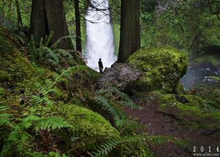 Wahclella FallsSource-reviewed route and parking127 ft (38.7 m) · Multnomah County, OR0.6 miS
- Wahe Falls80 ft (24.3 m) · Multnomah County, OR0.9 miSW
- Upper Wahe Falls50 ft (15.2 m) · Multnomah County, OR1.5 miSW
- Lower Ruckel Creek FallsPartial guide: parking start and walking distance not describedHood River County, OR2.1 miNE
- Wauna FallsHood River County, OR2.2 miE
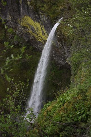 Elowah FallsEstablished trail to the base of the falls; broken footbridge at the creek213 ft (64.9 m) · Multnomah County, OR2.2 miSW
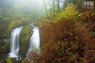 Upper McCord Creek FallsCliffside trail to a viewpoint of the falls64 ft (19.5 m) · Multnomah County, OR2.2 miSW
- Cedar FallsSkamania County, WA2.4 miNW