Upper McCord Creek Falls
Multnomah County, Oregon
Your visit at a glance
- Waterfall height
- 64 ft (19.5 m)
- Location
- Multnomah County, Oregon
- Access status
- Cliffside trail to a viewpoint of the falls
- The walk
- 1.9 miles round trip, per Oregon Hikers
- Ground & access
- Switchbacks with a maximum grade of 38.5 percent at one switchback; a narrow, dripping cliff ledge with a handrail above big drop-offs. Poison oak.
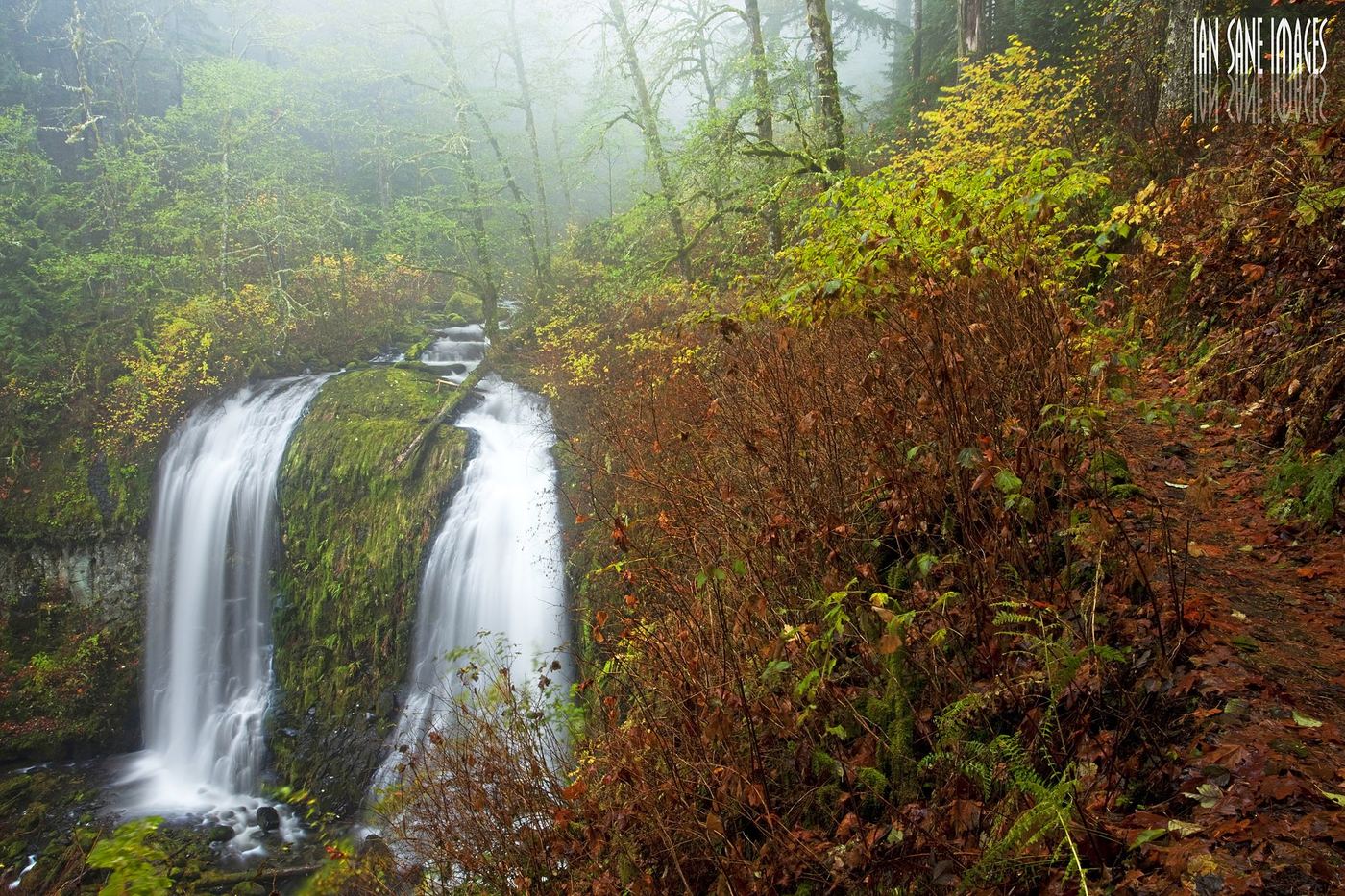
Upper McCord Creek Falls is a falls of about 55 to 64 feet just above Elowah Falls. From the John B Yeon Trailhead, climb the wide trail past a wooden water tank and the Nesmith Point Trail junction to the Gorge-Upper McCord Creek Falls Trail Junction, marked by a small sign. Turn sharply right and switchback up a scree slope past old penstock pipes to a ledge blasted from the cliff face, with a pipe railing. Rounding the cliff gives a high view of Elowah Falls below and Upper McCord Creek Falls ahead. Past the end of the railing is a viewpoint of the upper falls, which now flows as a single drop. Return the same way.
Plan your visit
John B Yeon Trailhead, Gorge Trail to the Upper McCord Creek Falls Trail, then along the railed cliff ledge to the falls viewpoint
Oregon Hikers gives 1.9 miles round trip with 445 feet of gain. The Northwest Waterfall Survey describes about 1/3 mile to the signed fork, then 3/4 of a mile to the upper falls.
Switchbacks with a maximum grade of 38.5 percent at one switchback; a narrow, dripping cliff ledge with a handrail above big drop-offs. Poison oak.
Where to start
John B Yeon Trailhead on NE Frontage Road, with parking for about 13 cars; it fills early on weekends. Oregon Hikers warns of car break-ins.
Timing & water
Oregon Hikers lists the hike as year-round except during winter storms.
Before you go
No fee is mentioned.
Visitor informationVisit sources
- Oregon Hikers Field Guide: Upper McCord Creek Falls Hike
- Oregon Hikers Field Guide: Upper McCord Creek Falls Hike
- Oregon Hikers Field Guide: Upper McCord Creek Falls Hike
- Oregon Hikers Field Guide: Upper McCord Creek Falls Hike
- Northwest Waterfall Survey: Upper McCord Creek Falls
- Oregon Hikers Field Guide: John B Yeon Trailhead
More waterfalls nearby
Within 40 straight-line miles. Road and trail distances will differ.
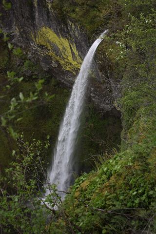 Elowah FallsEstablished trail to the base of the falls; broken footbridge at the creek213 ft (64.9 m) · Multnomah County, OR0.0 miNW
- Upper Wahe Falls50 ft (15.2 m) · Multnomah County, OR1.3 miE
- Wahe Falls80 ft (24.3 m) · Multnomah County, OR1.4 miE
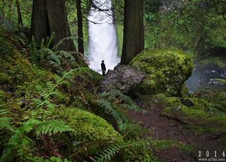 Wahclella FallsSource-reviewed route and parking127 ft (38.7 m) · Multnomah County, OR2.1 miE
- Munra FallsShort walk on an established trail from the Wahclella Falls Trailhead68 ft (20.7 m) · Multnomah County, OR2.2 miNE
- Hardy FallsSigned state park trail to a viewpoint above the falls; Discover Pass required90 ft (27.4 m) · Skamania County, WA2.4 miNW
- Rodney FallsState park trail to the falls and the Pool of the Winds viewpoint45 ft (13.7 m) · Skamania County, WA2.4 miNW
- Upper Rodney Falls35 ft (10.7 m) · Skamania County, WA2.4 miNW
- Upper Munra FallsMultnomah County, OR2.7 miE