Wahclella Falls
Multnomah County, Oregon
Your visit at a glance
- Waterfall height
- 127 ft (38.7 m)
- Location
- Multnomah County, Oregon
- Access status
- Source-reviewed route and parking
- The walk
- 1 mile to the falls
- Ground & access
- Hiking trail and several bridges; accessible access is described only to the first bridge.
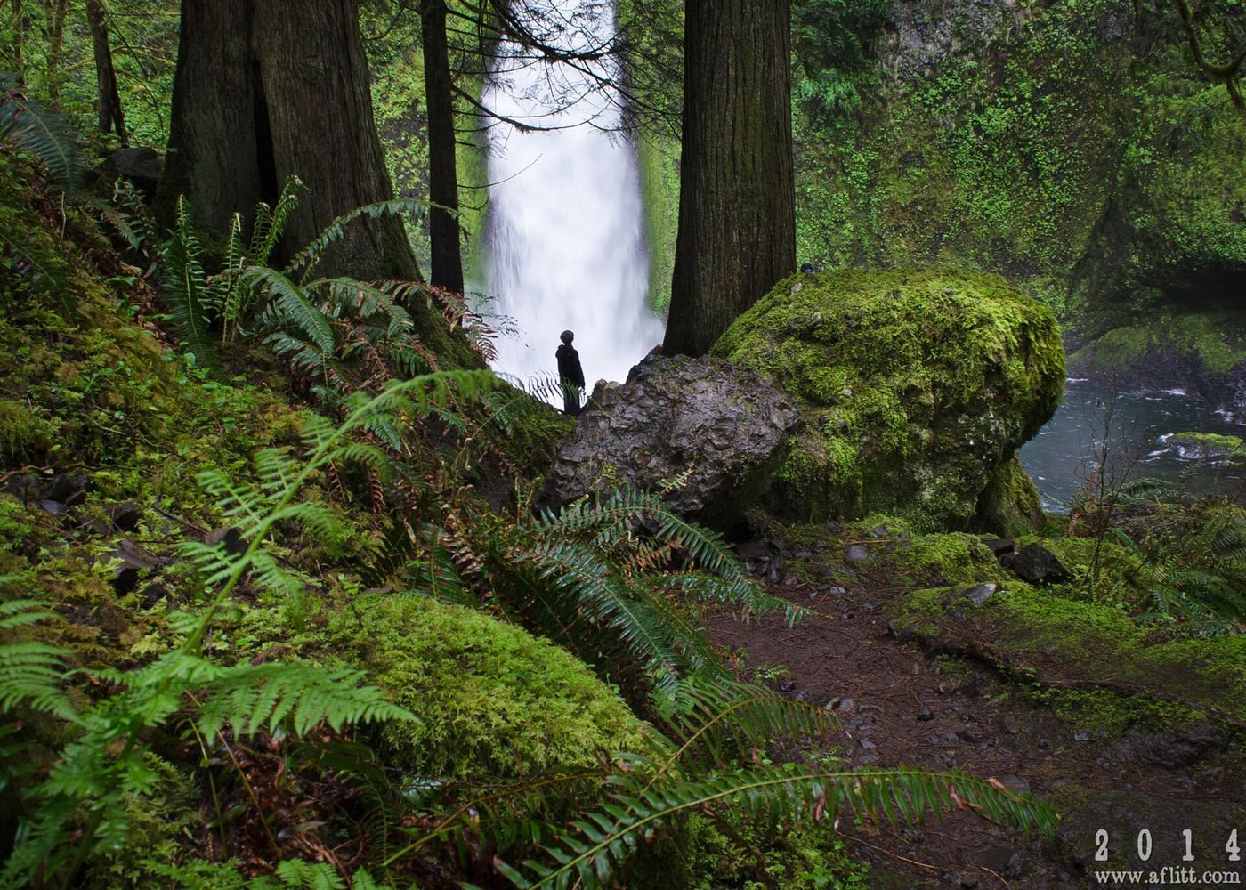
USFS describes crossing several bridges on the trail to an enclosed waterfall grotto. Use the signed trailhead just south of I-84 Exit 40.
Plan your visit
Wahclella Falls Trail #436
USFS describes a one-mile hike to the falls. This guide does not substitute WTA’s different 2.4-mile return figure.
Hiking trail and several bridges; accessible access is described only to the first bridge.
Where to start
Limited trailhead parking; USFS identifies additional parking about a quarter mile east at Toothrock trailhead. The extra pedestrian connection is not described here.
Timing & water
Daylight use.
Before you go
$5 per vehicle per day; purchase a pass before arrival or pay by QR code. USFS says cash/check not accepted.
Visitor informationVisit sources
More waterfalls nearby
Within 40 straight-line miles. Road and trail distances will differ.
- Munra FallsShort walk on an established trail from the Wahclella Falls Trailhead68 ft (20.7 m) · Multnomah County, OR0.6 miN
- Upper Munra FallsMultnomah County, OR0.7 miNE
- Wahe Falls80 ft (24.3 m) · Multnomah County, OR0.7 miW
- Upper Wahe Falls50 ft (15.2 m) · Multnomah County, OR1.1 miSW
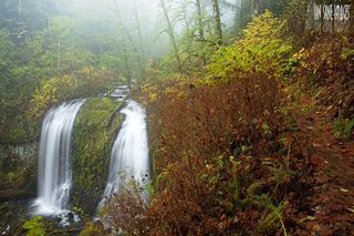 Upper McCord Creek FallsCliffside trail to a viewpoint of the falls64 ft (19.5 m) · Multnomah County, OR2.1 miW
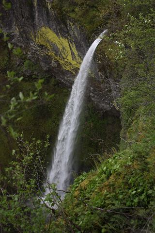 Elowah FallsEstablished trail to the base of the falls; broken footbridge at the creek213 ft (64.9 m) · Multnomah County, OR2.1 miW
- Wauna FallsHood River County, OR2.3 miE
- Lower Ruckel Creek FallsPartial guide: parking start and walking distance not describedHood River County, OR2.4 miNE
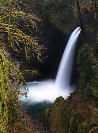 Metlako FallsCollapsed overlook; limited main-trail sighting reported102 ft (31 m) · Hood River County, OR2.7 miE