Paulina Falls
Deschutes County, Oregon
Your visit at a glance
- Waterfall height
- Not recorded
- Location
- Deschutes County, Oregon
- Access status
- Researched walking route
- The walk
- 0.4-mile return to lower viewpoint
- Ground & access
- Upper accessible path; lower route descends about 100 feet.
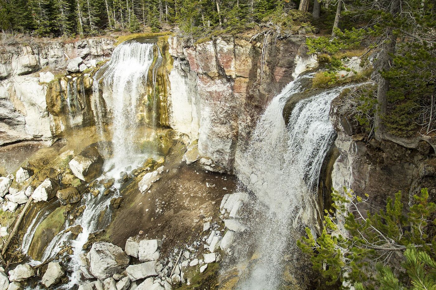
Choose the wheelchair-accessible upper overlook or the descending trail for views of both waterfall plumes.
Plan your visit
Paulina Falls upper overlook or lower viewpoint
Tourism lists the lower viewpoint trail as 0.4 mile round-trip. Upper overlook distance is not given.
Upper accessible path; lower route descends about 100 feet.
Where to start
Paulina Creek Falls Day-Use Area, reached from US 97 via Paulina-East Lake Road near La Pine.
Timing & water
Typical visiting season is June–October; the same page lists a broader late-May to mid-November opening window.
Before you go
Tourism lists a $5 day forest pass or accepted annual/interagency pass; reservation requirement not stated.
Visitor informationVisit sources
More waterfalls nearby
Within 40 straight-line miles. Road and trail distances will differ.
- McKay Crossing FallsPartial guide: day-use parking at the campground bridge and off-season road access are not confirmedDeschutes County, OR4.8 miW
- Fall River FallsState park trail to the fallsDeschutes County, OR13 miNW
- Pringle FallsPublic access not establishedDeschutes County, OR16 miW
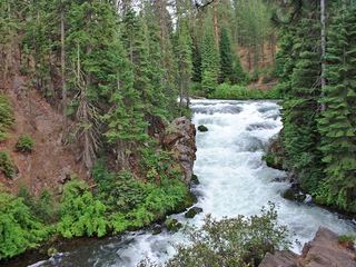 Benham FallsResearched visit notesDeschutes County, OR17 miN
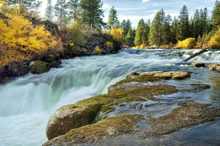 Dillon FallsResearched visit notesDeschutes County, OR18 miN
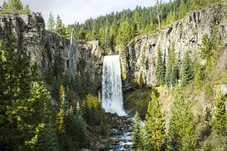 Tumalo FallsResearched visit notes89 ft (27.1 m) · Deschutes County, OR26 miNW
- Double FallsForest trail past Tumalo Falls to cliff-top viewpointsDeschutes County, OR27 miNW
- Upper Tumalo FallsForest trail to a partly obscured viewpoint documentedDeschutes County, OR28 miNW
- Fall Creek FallsEstablished wilderness trail; permit required in summerDeschutes County, OR32 miNW