Fall River Falls
Deschutes County, Oregon
Your visit at a glance
- Waterfall height
- Not recorded
- Location
- Deschutes County, Oregon
- Access status
- State park trail to the falls
- The walk
- About 1/4 mile one way, per the Northwest Waterfall Survey
- Ground & access
- Gentle, nearly level trail through pine forest. Boggy riverbank; many mosquitoes in spring and early summer. Trails are shared with bikes and horses.
Fall River Falls is a 14-foot step on the spring-fed Fall River; the lip is about 75 feet wide. From the Fall River Day-use Trailhead, the trail goes below the parking area and turns right to follow the river, which is often hidden by willow thickets. At a quiet bend, a signpost points left for Falls, and the falls trail drops gently to the river. Return the same way, or continue on the Fall River Loop.
Plan your visit
Fall River Day-use Trailhead in LaPine State Park, along the Fall River Loop to the signed falls spur
Northwest Waterfall Survey: from the large parking area just before the Fall River crossing, a trail leads to the falls in about 1/4 mile.
Gentle, nearly level trail through pine forest. Boggy riverbank; many mosquitoes in spring and early summer. Trails are shared with bikes and horses.
Where to start
Fall River Day-use Trailhead on Deschutes River Road in LaPine State Park; after crossing the Fall River, turn left into the parking area.
Timing & water
Oregon State Parks says the Fall River area is open year-round. The river is spring-fed and keeps a steady flow all year.
Before you go
Oregon State Parks: a day-use parking permit is required; a 1-day permit can be bought on site.
Visitor informationVisit sources
More waterfalls nearby
Within 40 straight-line miles. Road and trail distances will differ.
- Pringle FallsPublic access not establishedDeschutes County, OR5.3 miSW
- McKay Crossing FallsPartial guide: day-use parking at the campground bridge and off-season road access are not confirmedDeschutes County, OR9.2 miSE
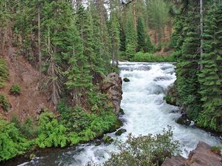 Benham FallsResearched visit notesDeschutes County, OR12 miNE
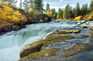 Dillon FallsResearched visit notesDeschutes County, OR13 miNE
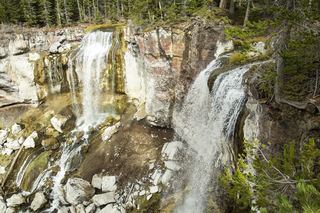 Paulina FallsResearched walking routeDeschutes County, OR13 miSE
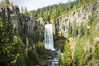 Tumalo FallsResearched visit notes89 ft (27.1 m) · Deschutes County, OR17 miN
- Double FallsForest trail past Tumalo Falls to cliff-top viewpointsDeschutes County, OR17 miN
- Upper Tumalo FallsForest trail to a partly obscured viewpoint documentedDeschutes County, OR18 miN
- Fall Creek FallsEstablished wilderness trail; permit required in summerDeschutes County, OR20 miNW