McKay Crossing Falls
Deschutes County, Oregon
Your visit at a glance
- Waterfall height
- Not recorded
- Location
- Deschutes County, Oregon
- Access status
- Partial guide: day-use parking at the campground bridge and off-season road access are not confirmed
- The walk
- About 500 feet from the bridge, per the Northwest Waterfall Survey
- Ground & access
- Short path beside a small gorge, next to a dusty campground.
McKay Crossing Falls plunges about 23 feet into a bowl-shaped amphitheater on Paulina Creek just below McKay Crossing Campground. From Highway 97 south of Bend, take Paulina Lake Road (County Road 21) east, then gravel Forest Road 2120 east to the campground. The Northwest Waterfall Survey says to follow the sign for the falls at the main road and that parking at the bridge is easiest. Day-use parking rules at the bridge, and whether the road and bridge parking stay open when the campground is closed for the season, are not stated.
Plan your visit
McKay Crossing Campground bridge over Paulina Creek, then the signed path about 500 feet downstream to the falls
Northwest Waterfall Survey: the falls are about 500 feet downstream of the bridge over Paulina Creek. Oregon Hikers also describes a 5.5-mile round trip to the falls on the Peter Skene Ogden Trail from the Ogden Trailhead, which is not detailed here.
Short path beside a small gorge, next to a dusty campground.
Where to start
At the bridge over Paulina Creek by McKay Crossing Campground, per the Northwest Waterfall Survey. Day-use parking rules are not stated.
Timing & water
The Forest Service runs the campground seasonally, roughly May to mid-October; access outside that season is not described.
Before you go
No fee is mentioned for a day visit to the falls. The campground charges for overnight camping.
Visitor informationVisit sources
More waterfalls nearby
Within 40 straight-line miles. Road and trail distances will differ.
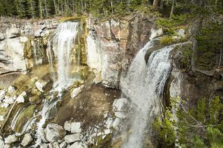 Paulina FallsResearched walking routeDeschutes County, OR4.8 miE
- Fall River FallsState park trail to the fallsDeschutes County, OR9.2 miNW
- Pringle FallsPublic access not establishedDeschutes County, OR12 miW
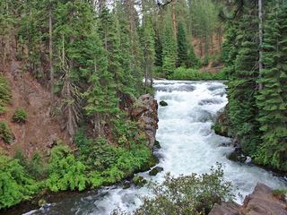 Benham FallsResearched visit notesDeschutes County, OR15 miN
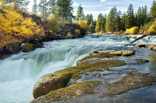 Dillon FallsResearched visit notesDeschutes County, OR17 miN
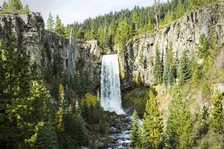 Tumalo FallsResearched visit notes89 ft (27.1 m) · Deschutes County, OR24 miNW
- Double FallsForest trail past Tumalo Falls to cliff-top viewpointsDeschutes County, OR25 miNW
- Upper Tumalo FallsForest trail to a partly obscured viewpoint documentedDeschutes County, OR25 miNW
- Fall Creek FallsEstablished wilderness trail; permit required in summerDeschutes County, OR28 miNW