Lower White River Falls
Wasco County, Oregon
Your visit at a glance
- Waterfall height
- 20 ft (6 m)
- Location
- Wasco County, Oregon
- Access status
- State park canyon trail and user trail to the falls
- The walk
- 1.4 miles round trip per Oregon Hikers; about 1/3 mile one way per the Northwest Waterfall Survey
- Ground & access
- Rough, steep canyon trail with steps, then an informal user trail. Poison ivy, rattlesnakes and ticks are reported. Oregon State Parks says swimming is not recommended because of dangerous currents.
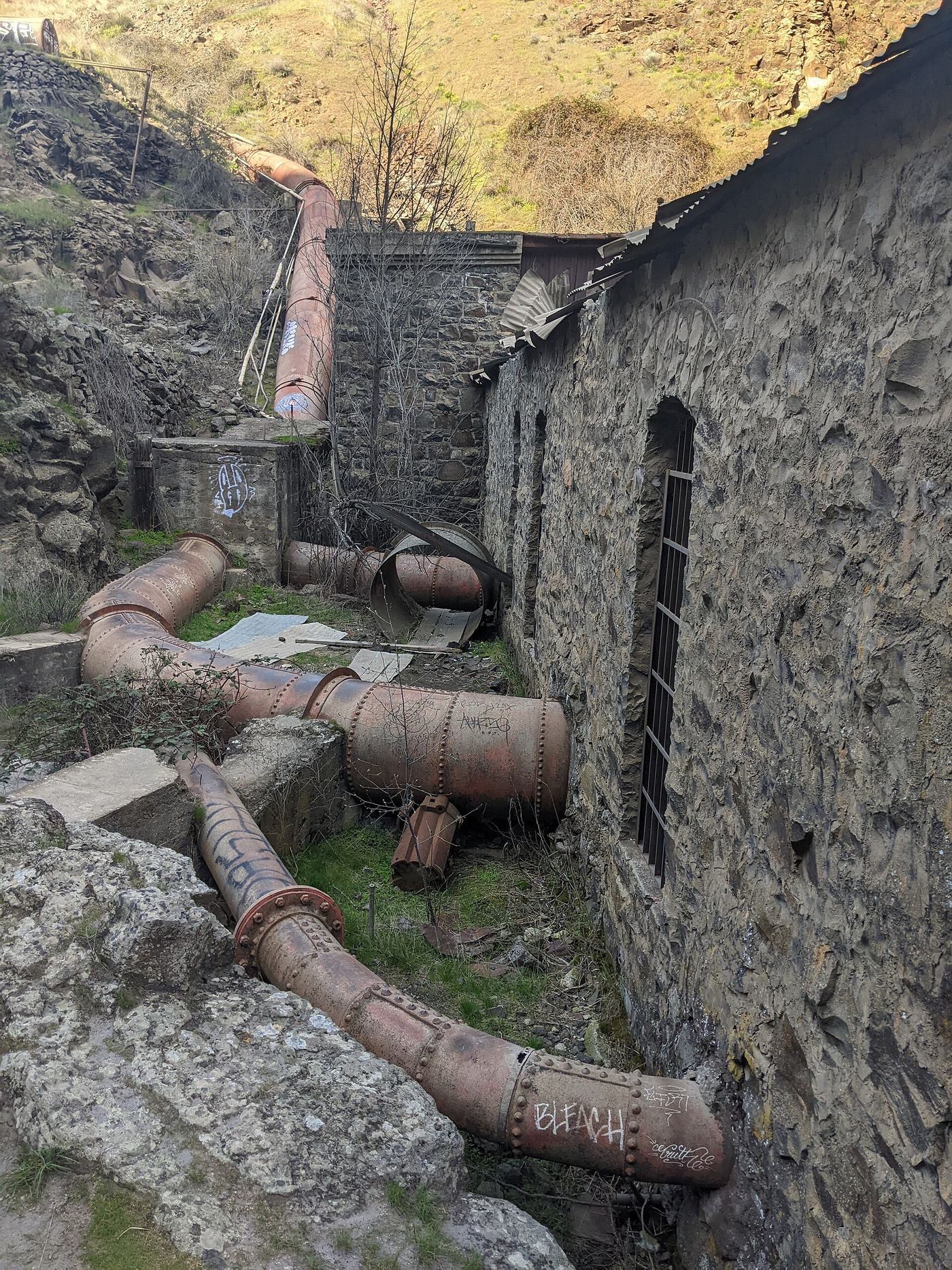
Lower White River Falls is a plunge of about 15 to 21 feet into a large pool, known to kayakers as Rooster Falls. From the parking area, take the canyon trail down the slope, across the wooden catwalk and down the railroad-tie steps to the old power plant. Continue downstream on a user trail through sagebrush to the wide basalt ledge above the falls. The trail runs close to the river, so the falls may not be reachable in high water. Return the same way, uphill.
Plan your visit
White River Falls State Park parking area, canyon trail past the old power plant, then a user trail to the ledge above the falls
Oregon Hikers gives 1.4 miles round trip from the White River Falls Trailhead to Lower White River Falls. The Northwest Waterfall Survey gives about 1/3 of a mile from the parking area. The figures differ.
Rough, steep canyon trail with steps, then an informal user trail. Poison ivy, rattlesnakes and ticks are reported. Oregon State Parks says swimming is not recommended because of dangerous currents.
Where to start
Graveled parking area 0.1 miles inside White River Falls State Park, off Highway 216 about 4 miles east of Highway 197. In winter the gate is closed and visitors park at the main gate and walk in.
Timing & water
Open year-round for day use. The main parking lot and flush restrooms close from November 1 to mid-March.
Before you go
No fee is mentioned on the Oregon State Parks page for this park.
Visitor informationVisit sources
More waterfalls nearby
Within 40 straight-line miles. Road and trail distances will differ.
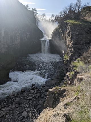 Celestial FallsState park canyon trail to the power plant viewpoint43 ft (13 m) · Wasco County, OR0.2 miNW
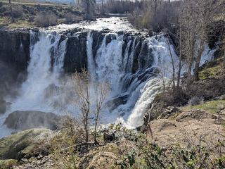 White River FallsResearched visit notesWasco County, OR0.2 miNW
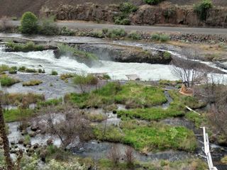 Sherar's FallsPartial guide: public viewing and parking spots on tribal land not described in detail15 ft (4.6 m) · Wasco County, OR2.9 miNE
- Cushing FallsWasco County, OR26 miN
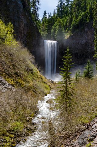 Tamanawas FallsResearched visit notes108 ft (33 m) · Hood River County, OR27 miNW
- Sahalie FallsResearched route and starting areaHood River County, OR27 miW
- Switchback FallsHood River County, OR28 miW
- Umbrella FallsShort route and trailhead parking verified59 ft (18 m) · Hood River County, OR28 miW
- Lower Heather Canyon FallsHood River County, OR28 miW