Sherar's Falls
Wasco County, Oregon
Your visit at a glance
- Waterfall height
- 15 ft (4.6 m)
- Location
- Wasco County, Oregon
- Access status
- Partial guide: public viewing and parking spots on tribal land not described in detail
- The walk
- Roadside; no walking distance given
- Ground & access
- Roadside basalt banks above fast, powerful water. Stay back from the edge and away from fishing platforms.
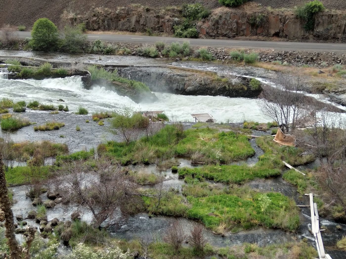
Sherar's Falls is a 15-foot drop of the Deschutes River into a narrow horseshoe-shaped trough, just above Sherars Bridge on OR 216. It is a long-established tribal fishing ground; members of the Warm Springs tribes fish here with nets. The Northwest Waterfall Survey says the falls are on tribal land, that public access is allowed only on the west side of the river, and that some parking areas are reserved for tribal members. Follow the posted rules and park only where signs direct. The exact public viewing and parking spots are not described in detail.
Plan your visit
OR 216 at Sherars Bridge between Tygh Valley and Maupin, viewing from the west side of the Deschutes River
No source gives a walking distance. The Northwest Waterfall Survey places the falls just above Sherars Bridge on OR 216.
Roadside basalt banks above fast, powerful water. Stay back from the edge and away from fishing platforms.
Where to start
Not confirmed in detail. The Northwest Waterfall Survey says to park where requested, with designated areas for tribal members only. From US 197 south of The Dalles, take OR 216 east (signed for White River Falls and Sherars Bridge) about 7.5 miles.
Timing & water
No seasonal closure is mentioned. Flow is reduced by irrigation withdrawals upstream.
Before you go
No fee is mentioned.
Visitor informationVisit sources
More waterfalls nearby
Within 40 straight-line miles. Road and trail distances will differ.
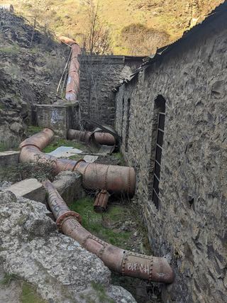 Lower White River FallsState park canyon trail and user trail to the falls20 ft (6 m) · Wasco County, OR2.9 miSW
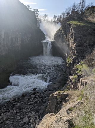 Celestial FallsState park canyon trail to the power plant viewpoint43 ft (13 m) · Wasco County, OR3.0 miW
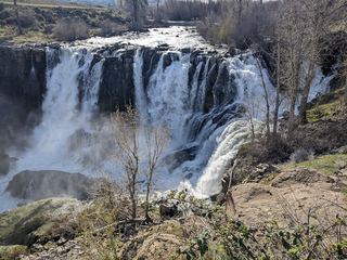 White River FallsResearched visit notesWasco County, OR3.0 miW
- Cushing FallsWasco County, OR25 miN
- Eightmile Creek FallsState park viewpoint near the Access Road; exact path not describedKlickitat County, WA28 miN
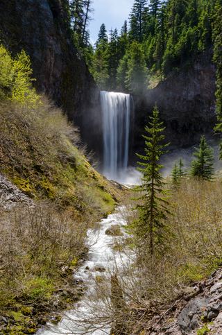 Tamanawas FallsResearched visit notes108 ft (33 m) · Hood River County, OR29 miW
- Sahalie FallsResearched route and starting areaHood River County, OR30 miW
- Switchback FallsHood River County, OR30 miW
- Umbrella FallsShort route and trailhead parking verified59 ft (18 m) · Hood River County, OR31 miW