White River Falls
Wasco County, Oregon
Your visit at a glance
- Waterfall height
- Not recorded
- Location
- Wasco County, Oregon
- The walk
- Short viewpoint walk; distance not published
- Ground & access
- Flat gravel paths to the upper view; the lower route is steep and rocky.
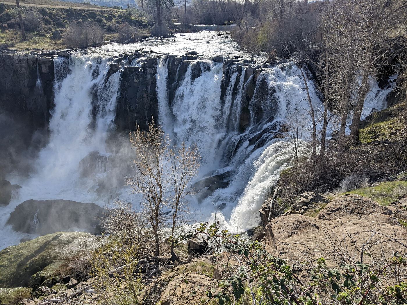
Use the upper overlook for the short visit. The rough descent into the canyon is a separate outing.
Plan your visit
Upper waterfall overlook
The separate 0.7-mile canyon trail continues toward Lower White River Falls; its direction is unspecified and it is not the upper overlook distance.
Flat gravel paths to the upper view; the lower route is steep and rocky.
Where to start
Use the small gravel lot. From November 1 to mid-March, park at the main gate for walk-in access.
Timing & water
Year-round day use. Strongest flow is in spring; flow declines in autumn. Main lot and flush toilets close seasonally.
Before you go
The park page says no parking fee is currently required.
Visitor informationVisit sources
More waterfalls nearby
Within 40 straight-line miles. Road and trail distances will differ.
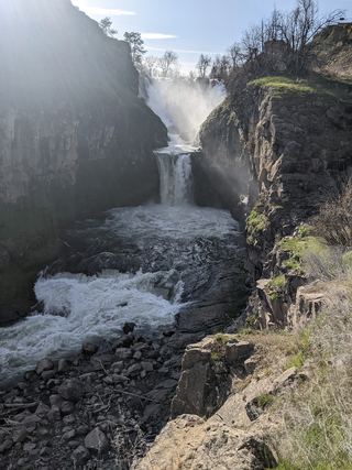 Celestial FallsState park canyon trail to the power plant viewpoint43 ft (13 m) · Wasco County, OR0.0 miSE
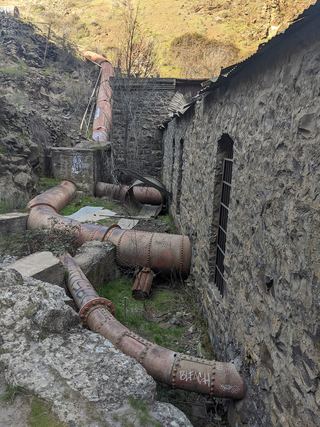 Lower White River FallsState park canyon trail and user trail to the falls20 ft (6 m) · Wasco County, OR0.2 miSE
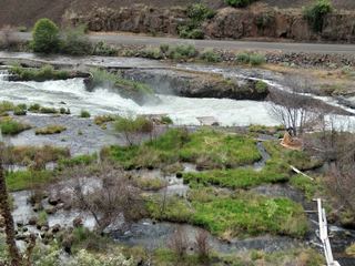 Sherar's FallsPartial guide: public viewing and parking spots on tribal land not described in detail15 ft (4.6 m) · Wasco County, OR3.0 miE
- Cushing FallsWasco County, OR26 miN
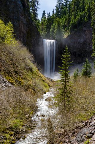 Tamanawas FallsResearched visit notes108 ft (33 m) · Hood River County, OR26 miNW
- Sahalie FallsResearched route and starting areaHood River County, OR27 miW
- Switchback FallsHood River County, OR28 miW
- Umbrella FallsShort route and trailhead parking verified59 ft (18 m) · Hood River County, OR28 miW
- Lower Heather Canyon FallsHood River County, OR28 miW