Hug Point Falls
Clatsop County, Oregon
Your visit at a glance
- Waterfall height
- Not recorded
- Location
- Clatsop County, Oregon
- Access status
- Beach walk documented; passable at low tide only
- The walk
- About 0.2 mile from the trailhead
- Ground & access
- Paved path, wooden steps and sand beach. The route around the headland is only passable at low tide. Check tide tables and do not get trapped by the incoming tide.

Hug Point Falls is a 15-foot falls where Fall Creek drops off a sandstone bluff onto the beach. From the parking lot, take the paved path and wooden steps down to the beach. Walk north around the first headland, which has a small cave, into the cove where the falls spill onto the sand.
Plan your visit
Hug Point State Recreation Site parking down to the beach and north to the falls
Oregon Hikers places the falls 0.2 mile on foot from the Hug Point Trailhead. Its 0.5 mile round trip figure includes walking on to Hug Point itself.
Paved path, wooden steps and sand beach. The route around the headland is only passable at low tide. Check tide tables and do not get trapped by the incoming tide.
Where to start
Hug Point State Recreation Site parking area on the west side of Highway 101, about 8.5 miles south of the Cannon Beach exits.
Timing & water
Oregon Hikers lists the walk for all seasons as long as the tide is low. At high tide the ocean blocks the way around the headland.
Before you go
No fee is mentioned.
Visitor informationVisit sources
More waterfalls nearby
Within 40 straight-line miles. Road and trail distances will differ.
- Blumenthal FallsTrail and beach walk to the lower tier; upper user trails closedTillamook County, OR4.6 miS
- Nehalem FallsShort trail from a state forest campground to the riverside fallsTillamook County, OR12 miSE
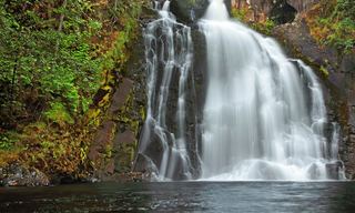 Youngs River FallsVerified parking and downhill approachClatsop County, OR18 miNE
- Fishhawk FallsResearched walking routeClatsop County, OR20 miNE
- Kilchis FallsPartial guide: roadside falls on rough unmarked forest roads; no parking area describedTillamook County, OR22 miSE
- Wilson FallsEstablished trail from Footbridge Trailhead; distance to the falls not given200 ft (61 m) · Tillamook County, OR26 miSE
- Bridge Creek FallsShort stone staircase from the highway to the baseTillamook County, OR26 miSE
- Fern Rock FallsRoadside turnout view documentedTillamook County, OR30 miSE
- Stafford Falls98 ft (30 m) · Tillamook County, OR30 miSE