Cline Falls
Deschutes County, Oregon
Your visit at a glance
- Waterfall height
- Not recorded
- Location
- Deschutes County, Oregon
- Access status
- Short riverside trail from the state scenic viewpoint to BLM land at the falls
- The walk
- 1.6 miles round trip
- Ground & access
- Mostly level trail with a rockier section under the highway bridge. Rocks at the falls; falling hazard and rattlesnakes noted.
The falls are not inside Cline Falls State Scenic Viewpoint; they are a short walk downriver on Bureau of Land Management land. From the parking near the restrooms, walk up the park entrance road and take the obvious trail down under the junipers above the Deschutes River. The trail passes under the Highway 126 bridge, crosses a flat and part of the old highway, and arrives above the falls. Spur trails lead to the rocks and viewpoints. Do not go south of the park parking area or downriver past the BLM land: both are private property.
Plan your visit
Cline Falls State Scenic Viewpoint, trail down the Deschutes River under the Highway 126 bridge to Cline Falls on BLM land
Oregon Hikers gives 1.6 miles round trip with 30 feet of elevation gain from the state scenic viewpoint to Cline Falls.
Mostly level trail with a rockier section under the highway bridge. Rocks at the falls; falling hazard and rattlesnakes noted.
Where to start
Cline Falls State Scenic Viewpoint, 0.2 mile off Highway 126 about 4.3 miles west of Highway 97 in Redmond. Park near the restrooms or along the short loop road.
Timing & water
Open dawn to dusk. The falls are strongest in winter and spring and can be a trickle once irrigation water is drawn from the river.
Before you go
Oregon Hikers lists a $10 day-use fee.
Visitor informationVisit sources
More waterfalls nearby
Within 40 straight-line miles. Road and trail distances will differ.
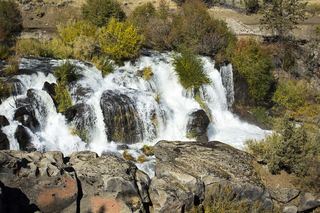 Cline FallsSource-reviewed route and parking20 ft (6.1 m) · Deschutes County, OR0.5 miN
- Awbrey FallsDeschutes County, OR5.6 miS
- Big FallsDeschutes County, OR7.2 miN
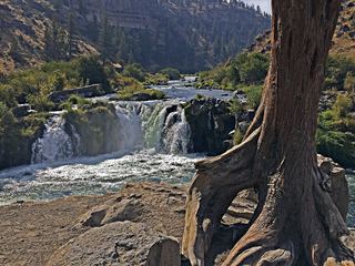 Steelhead FallsShort BLM trail into the Deschutes canyonJefferson County, OR10 miN
- Dry FallsPartial guide: the dry falls on the trail are a probable match to this listing; the distance to the spur is not publishedJefferson County, OR13 miN
- Whychus Creek FallsCanyon trail hike to a small creek waterfallDeschutes County, OR17 miW
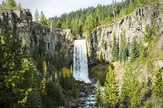 Tumalo FallsResearched visit notes89 ft (27.1 m) · Deschutes County, OR22 miSW
- Double FallsForest trail past Tumalo Falls to cliff-top viewpointsDeschutes County, OR22 miSW
- Upper Tumalo FallsForest trail to a partly obscured viewpoint documentedDeschutes County, OR23 miSW