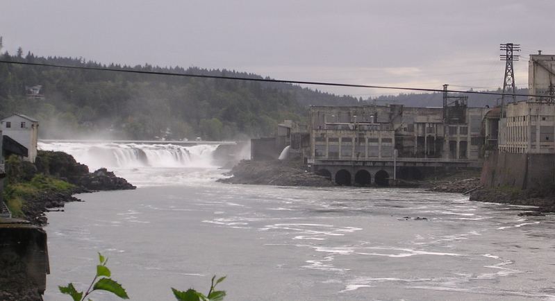
Waterfalls near Molalla, OR
33 named waterfalls within 30 miles of Molalla, closest first. Distances are straight-line from the town center.
Visits with route details
Read the walking route, starting point and current access notes.
- Tumble Creek FallsGravel park trail to a footbridge below the fallsClackamas County, OR
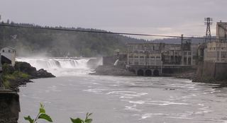 Willamette FallsPublic roadside viewpoint with parking documented39 ft (12 m) · Clackamas County, OR
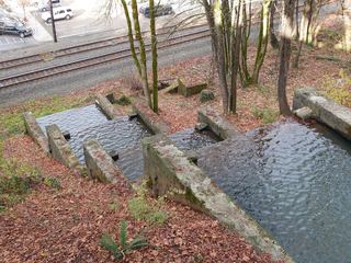 Singer FallsPartial guide: public stair route documented; parking not describedClackamas County, OR
- Abiqua FallsPartial guide: private land open to the public by the owners; rough unofficial path; state purchase pending92 ft (28 m) · Marion County, OR
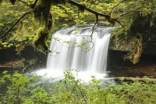 Butte Creek FallsSigned state forest trail and trailhead documented79 ft (24 m) · Clackamas County, OR
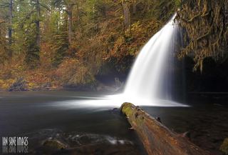 Upper Butte Creek FallsShort state forest trail to a walk-behind waterfall26 ft (8 m) · Clackamas County, OR
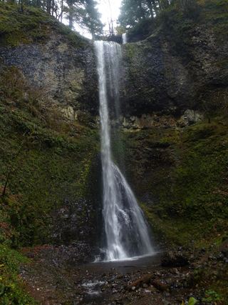 Double FallsState park trail to the base of the falls184 ft (56 m) · Marion County, OR
- Lower North FallsState park trail via the Winter Trail and Canyon Trail30 ft (9 m) · Marion County, OR
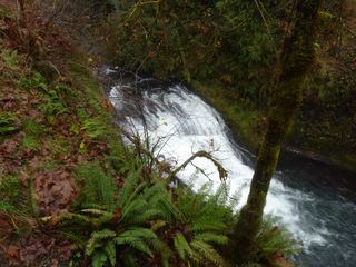 Drake FallsState park trail to a viewing deck documented26 ft (8 m) · Marion County, OR
- Middle North FallsState park trail with a side trail behind the falls105 ft (32 m) · Marion County, OR
- North FallsState park trail and stairs behind the falls135 ft (41 m) · Marion County, OR
- Twin FallsState park trail to a side view of the falls30 ft (9 m) · Marion County, OR
- Upper North FallsSigned state park trail to the base documented66 ft (20 m) · Marion County, OR
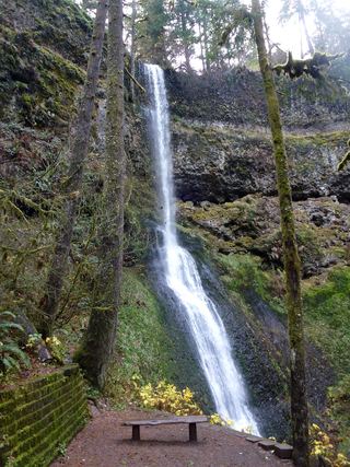 Winter FallsState park trail from a highway trailhead to the base of the falls135 ft (41 m) · Marion County, OR
- Lower South FallsState park trail from South Falls Lodge; walk behind the falls92 ft (28 m) · Marion County, OR
- Frenchie FallsSigned state park spur to a seasonal falls documentedMarion County, OR
- South FallsPaved rim view and short loop behind the falls177 ft (54 m) · Marion County, OR
- Hidden FallsPaved park trail to a bridge view documentedClackamas County, OR
- Jane Martin WaterfallGarden waterfall on paved paths inside a public garden with admissionMultnomah County, OR
- Henline FallsTrailhead closed by October 21, 2026 order; partial parking detailsMarion County, OR
- Pegleg FallsApproach or parking partly unconfirmedClackamas County, OR
- Sullivan Creek FallsPartial guide: roadside falls behind a road closed to motor vehiclesMarion County, OR
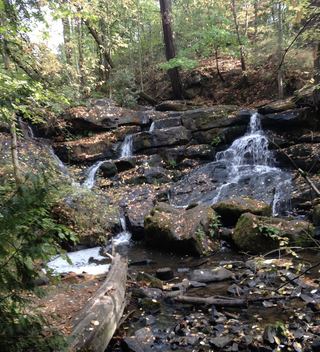 Cedar Mill FallsPartial guide: short boardwalk walk; permission to park in the church lot is not statedWashington County, OR
Closest with a photo
All 33 waterfalls
- Echo Creek FallsMarion County, OR12 miS
- Tumble Creek FallsGravel park trail to a footbridge below the fallsClackamas County, OR13 miN
- Coffee Creek FallsClackamas County, OR14 miN
- Willamette FallsPublic roadside viewpoint with parking documented39 ft (12 m) · Clackamas County, OR14 miN
- Singer FallsPartial guide: public stair route documented; parking not describedClackamas County, OR15 miN
- Abiqua FallsPartial guide: private land open to the public by the owners; rough unofficial path; state purchase pending92 ft (28 m) · Marion County, OR15 miS
- Upper Abiqua FallsMarion County, OR16 miS
 Lower Butte Creek FallsClackamas County, OR16 miS
- Butte Creek FallsSigned state forest trail and trailhead documented79 ft (24 m) · Clackamas County, OR16 miS
- Upper Butte Creek FallsShort state forest trail to a walk-behind waterfall26 ft (8 m) · Clackamas County, OR16 miS
- Clackamas FallsClackamas County, OR17 miE
- Lower Clackamas FallsClackamas County, OR17 miE
- Memaloose FallsClackamas County, OR17 miE
- Double FallsState park trail to the base of the falls184 ft (56 m) · Marion County, OR18 miS
- Lower North FallsState park trail via the Winter Trail and Canyon Trail30 ft (9 m) · Marion County, OR18 miS
- Drake FallsState park trail to a viewing deck documented26 ft (8 m) · Marion County, OR18 miS
- Middle North FallsState park trail with a side trail behind the falls105 ft (32 m) · Marion County, OR18 miS
- North FallsState park trail and stairs behind the falls135 ft (41 m) · Marion County, OR18 miS
- Twin FallsState park trail to a side view of the falls30 ft (9 m) · Marion County, OR18 miS
- Upper North FallsSigned state park trail to the base documented66 ft (20 m) · Marion County, OR18 miS
- Winter FallsState park trail from a highway trailhead to the base of the falls135 ft (41 m) · Marion County, OR18 miS
- Lower South FallsState park trail from South Falls Lodge; walk behind the falls92 ft (28 m) · Marion County, OR19 miS
- Frenchie FallsSigned state park spur to a seasonal falls documentedMarion County, OR19 miS
- South FallsPaved rim view and short loop behind the falls177 ft (54 m) · Marion County, OR19 miS
- Hidden FallsPaved park trail to a bridge view documentedClackamas County, OR19 miN
- Knapp FallsMultnomah County, OR22 miN
- Jane Martin WaterfallGarden waterfall on paved paths inside a public garden with admissionMultnomah County, OR23 miN
- Henline FallsTrailhead closed by October 21, 2026 order; partial parking detailsMarion County, OR24 miSE
- Pegleg FallsApproach or parking partly unconfirmedClackamas County, OR24 miSE
- Sullivan Creek FallsPartial guide: roadside falls behind a road closed to motor vehiclesMarion County, OR26 miSE
- Sawmill FallsMarion County, OR27 miSE
- Flume Creek FallsMarion County, OR28 miSE
- Cedar Mill FallsPartial guide: short boardwalk walk; permission to park in the church lot is not statedWashington County, OR28 miN