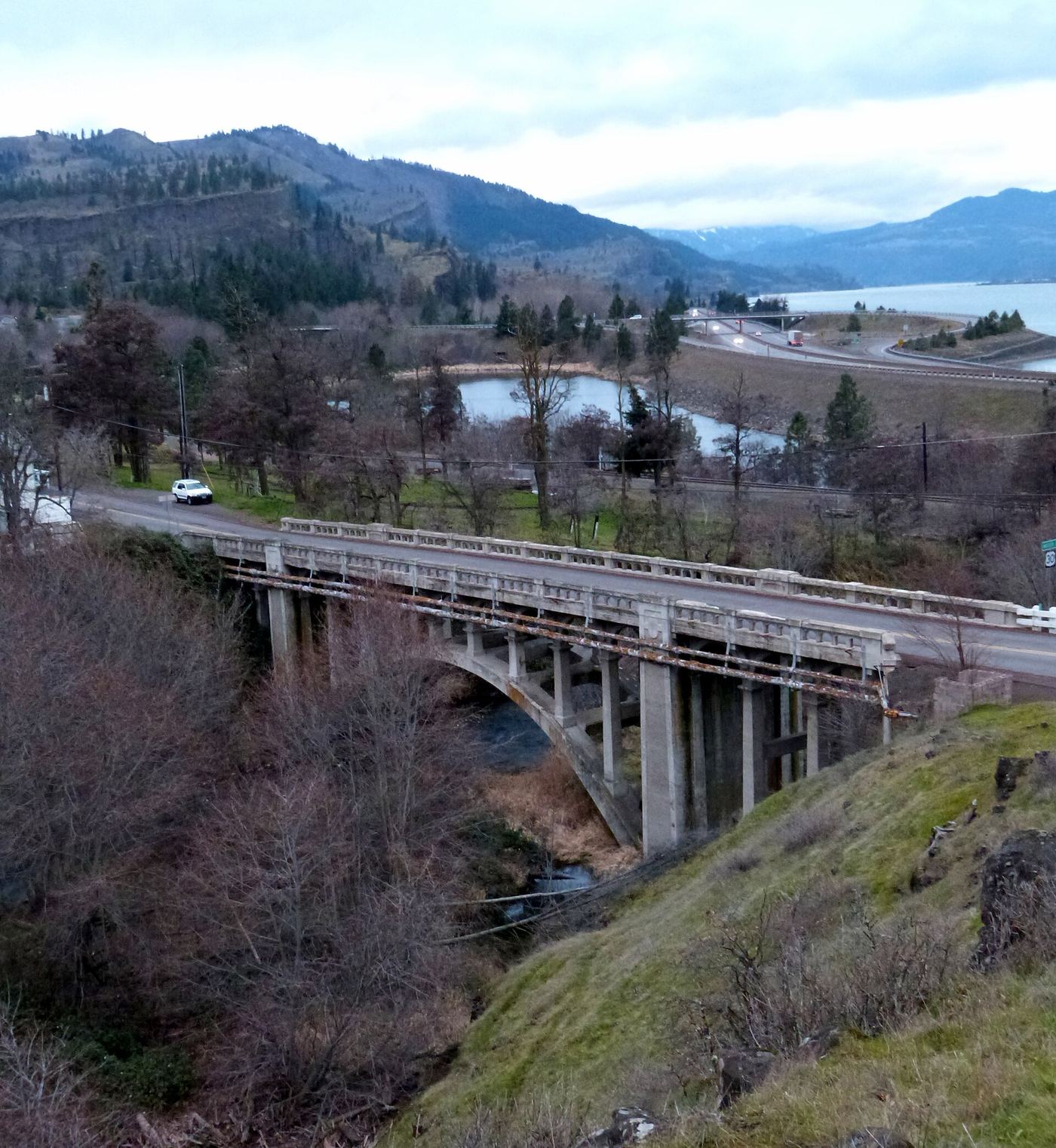
Waterfalls near The Dalles, OR
48 named waterfalls within 30 miles of The Dalles, closest first. Distances are straight-line from the town center.
Visits with route details
Read the walking route, starting point and current access notes.
- Eightmile Creek FallsState park viewpoint near the Access Road; exact path not describedKlickitat County, WA
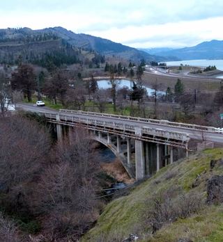 Mosier Creek FallsSigned trail to a falls overlook documentedWasco County, OR
- Lower Labyrinth FallsShort walk on an abandoned highway from a forest trailhead; Northwest Forest Pass listedKlickitat County, WA
- Labyrinth FallsNational forest trail with a side trail to the fallsKlickitat County, WA
- Little Maui FallsPartial guide: national scenic area trail loop; the exact falls location is not describedKlickitat County, WA
- Wah Gwin Gwin FallsPartial guide: private hotel grounds; visitor access and parking rules not confirmed by the hotelHood River County, OR
- Husum FallsPedestrian approach unconfirmedKlickitat County, WA
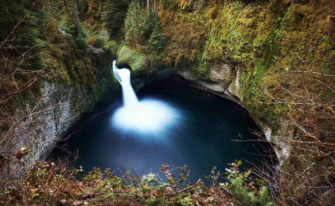
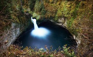 Punchbowl FallsCounty park trail to an overlook documentedHood River County, OR
- Dead Point FallsPark trail and signed spur to a cliff-edge viewpoint75 ft (22.9 m) · Hood River County, OR
- Buck Creek FallsState land trail route and trailhead documentedKlickitat County, WA
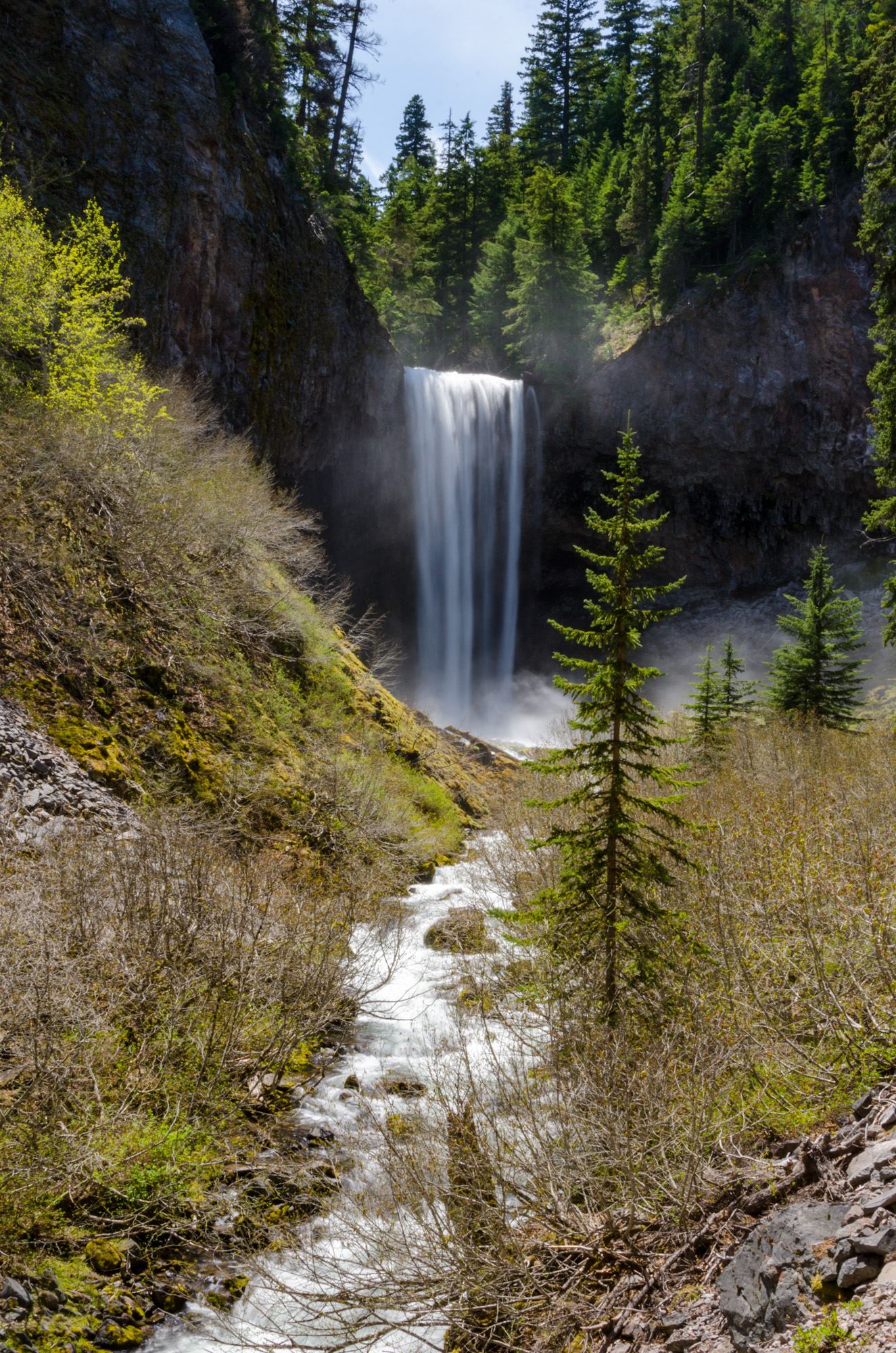
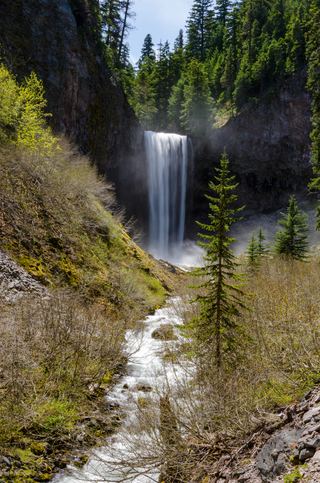 Tamanawas FallsResearched visit notes108 ft (33 m) · Hood River County, OR
- BZ FallsShort river trail from the BZ Corner launch to a viewing deckKlickitat County, WA
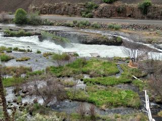 Sherar's FallsPartial guide: public viewing and parking spots on tribal land not described in detail15 ft (4.6 m) · Wasco County, OR
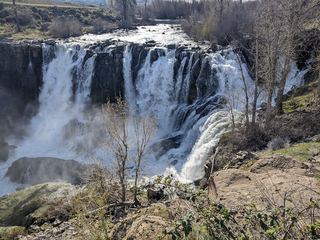 White River FallsResearched visit notesWasco County, OR
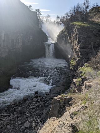 Celestial FallsState park canyon trail to the power plant viewpoint43 ft (13 m) · Wasco County, OR
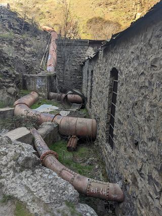 Lower White River FallsState park canyon trail and user trail to the falls20 ft (6 m) · Wasco County, OR
- Dog Creek FallsRoute and parking documented; confirm current conditions.Skamania County, WA
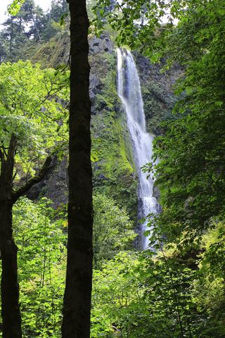 Starvation Creek FallsShort paved walk to a viewpoint documented227 ft (69.2 m) · Hood River County, OR
- Cabin Creek FallsShort paved walk from Starvation Creek Trailhead220 ft (67 m) · Hood River County, OR
- Hole-in-the-Wall FallsPaved trail from Starvation Creek Trailhead to a picnic-circle view96 ft (29.2 m) · Hood River County, OR
- Lancaster FallsTrail to the lower tier of the falls231 ft (70.4 m) · Hood River County, OR
- Lower Lancaster FallsState trail and Mount Defiance Trail to the lower tier20 ft (6 m) · Hood River County, OR
- Stranahan FallsPartial guide: roadside view from Cloud Cap Road; the exact viewing spot is not describedHood River County, OR
- Camp Benson FallsPartial guide: the last section uses a powerline maintenance road that is not confirmed as an official trail85 ft (25.9 m) · Hood River County, OR
- Middle Heather Canyon FallsPartial guide: middle falls in a series on Heather Creek is not named individually by the route sourceHood River County, OR
- Upper Heather Canyon FallsTimberline Trail loop crossing above the fallsHood River County, OR
- Outlet FallsPartial: informal roadside viewpoint above cliffs; no formal parkingKlickitat County, WA
- Gorton Creek FallsPartial guide: official trail ends at Emerald Falls; last 100 yards is an unofficial creek scrambleHood River County, OR
- Emerald FallsShort creekside trail to the end of the official pathHood River County, OR
- Sahalie FallsResearched route and starting areaHood River County, OR
- Umbrella FallsShort route and trailhead parking verified59 ft (18 m) · Hood River County, OR
- Pencil FallsSki-area and Timberline Trail loop; summer onlyHood River County, OR
Closest with a photo
All 48 waterfalls
- Cushing FallsWasco County, OR3.1 miNE
- Eightmile Creek FallsState park viewpoint near the Access Road; exact path not describedKlickitat County, WA6.3 miNE
- Mosier Creek FallsSigned trail to a falls overlook documentedWasco County, OR12 miNW
- Lower Labyrinth FallsShort walk on an abandoned highway from a forest trailhead; Northwest Forest Pass listedKlickitat County, WA13 miNW
- Labyrinth FallsNational forest trail with a side trail to the fallsKlickitat County, WA13 miNW
- Little Maui FallsPartial guide: national scenic area trail loop; the exact falls location is not describedKlickitat County, WA13 miNW
- Wah Gwin Gwin FallsPartial guide: private hotel grounds; visitor access and parking rules not confirmed by the hotelHood River County, OR20 miNW
- Husum FallsPedestrian approach unconfirmedKlickitat County, WA20 miNW
- Punchbowl FallsCounty park trail to an overlook documentedHood River County, OR22 miW
- Dead Point FallsPark trail and signed spur to a cliff-edge viewpoint75 ft (22.9 m) · Hood River County, OR22 miW
- Buck Creek FallsState land trail route and trailhead documentedKlickitat County, WA23 miNW
- Spirit FallsSkamania County, WA24 miNW
- Tamanawas FallsResearched visit notes108 ft (33 m) · Hood River County, OR24 miSW
- BZ FallsShort river trail from the BZ Corner launch to a viewing deckKlickitat County, WA24 miNW
- Sherar's FallsPartial guide: public viewing and parking spots on tribal land not described in detail15 ft (4.6 m) · Wasco County, OR24 miS
- White River FallsResearched visit notesWasco County, OR25 miS
- Celestial FallsState park canyon trail to the power plant viewpoint43 ft (13 m) · Wasco County, OR25 miS
- Lower White River FallsState park canyon trail and user trail to the falls20 ft (6 m) · Wasco County, OR25 miS
- Dog Creek FallsRoute and parking documented; confirm current conditions.Skamania County, WA25 miW
- Starvation Creek FallsShort paved walk to a viewpoint documented227 ft (69.2 m) · Hood River County, OR25 miW
- Cabin Creek FallsShort paved walk from Starvation Creek Trailhead220 ft (67 m) · Hood River County, OR26 miW
- Hole-in-the-Wall FallsPaved trail from Starvation Creek Trailhead to a picnic-circle view96 ft (29.2 m) · Hood River County, OR26 miW
- Lancaster FallsTrail to the lower tier of the falls231 ft (70.4 m) · Hood River County, OR26 miW
- Lower Lancaster FallsState trail and Mount Defiance Trail to the lower tier20 ft (6 m) · Hood River County, OR26 miW
- Stranahan FallsPartial guide: roadside view from Cloud Cap Road; the exact viewing spot is not describedHood River County, OR26 miSW
- Harrison FallsHood River County, OR27 miW
- Cannonball FallsHood River County, OR27 miSW
- Lindsey Creek Falls53 ft (16.2 m) · Hood River County, OR27 miW
- Wapiti FallsHood River County, OR27 miSW
- Wallalute FallsHood River County, OR27 miSW
- Summit Creek Falls30 ft (9.1 m) · Hood River County, OR27 miW
- Camp Benson FallsPartial guide: the last section uses a powerline maintenance road that is not confirmed as an official trail85 ft (25.9 m) · Hood River County, OR27 miW
- Kalakwahtie FallsHood River County, OR28 miSW
- Coe FallsHood River County, OR28 miSW
- Skatepark FallsKlickitat County, WA28 miN
- Newton Creek FallsHood River County, OR28 miSW
- Cooper Spur FallsHood River County, OR28 miSW
- Clark Creek FallsHood River County, OR29 miSW
- Lower Heather Canyon FallsHood River County, OR29 miSW
- Middle Heather Canyon FallsPartial guide: middle falls in a series on Heather Creek is not named individually by the route sourceHood River County, OR29 miSW
- Upper Heather Canyon FallsTimberline Trail loop crossing above the fallsHood River County, OR29 miSW
- Outlet FallsPartial: informal roadside viewpoint above cliffs; no formal parkingKlickitat County, WA29 miN
- Gorton Creek FallsPartial guide: official trail ends at Emerald Falls; last 100 yards is an unofficial creek scrambleHood River County, OR29 miW
- Emerald FallsShort creekside trail to the end of the official pathHood River County, OR29 miW
- Sahalie FallsResearched route and starting areaHood River County, OR29 miSW