WaterfallNear Me

Oregon waterfall visits

Compare 195 Oregon waterfall visits by the approach, terrain, and where to start. Some routes have closures or unresolved details; read the individual guide before travelling.

195 visit options

Alsea Falls, OR

Short walk and steps from the day-use area; seasonal gate

Oregon

Alsea Falls

Short walk with steps from the day-use area; no separate distance is given

Alsea Falls is a 30-foot cascade in the Bureau of Land Management Alsea Falls Recreation Site. Walk down the road from the day-use area entrance. You will see a footbridge across the river; do not cross it. Take the track along the river to your left and go down steps to the base of the falls. Return to the footbridge for a view of the top of the falls. The trail continues along the river toward Green Peak Falls, which is reached through the private McBee Park campground.
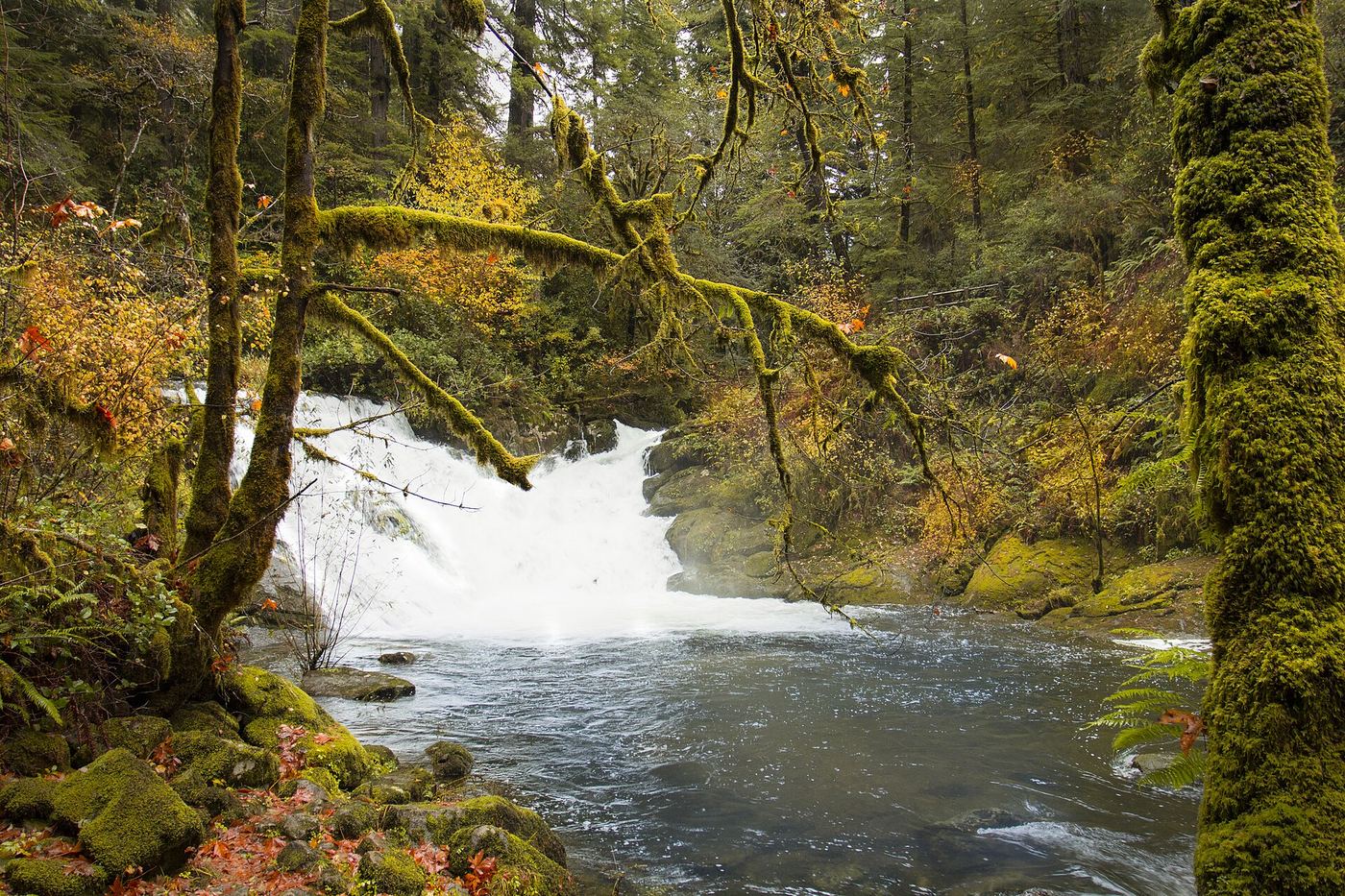
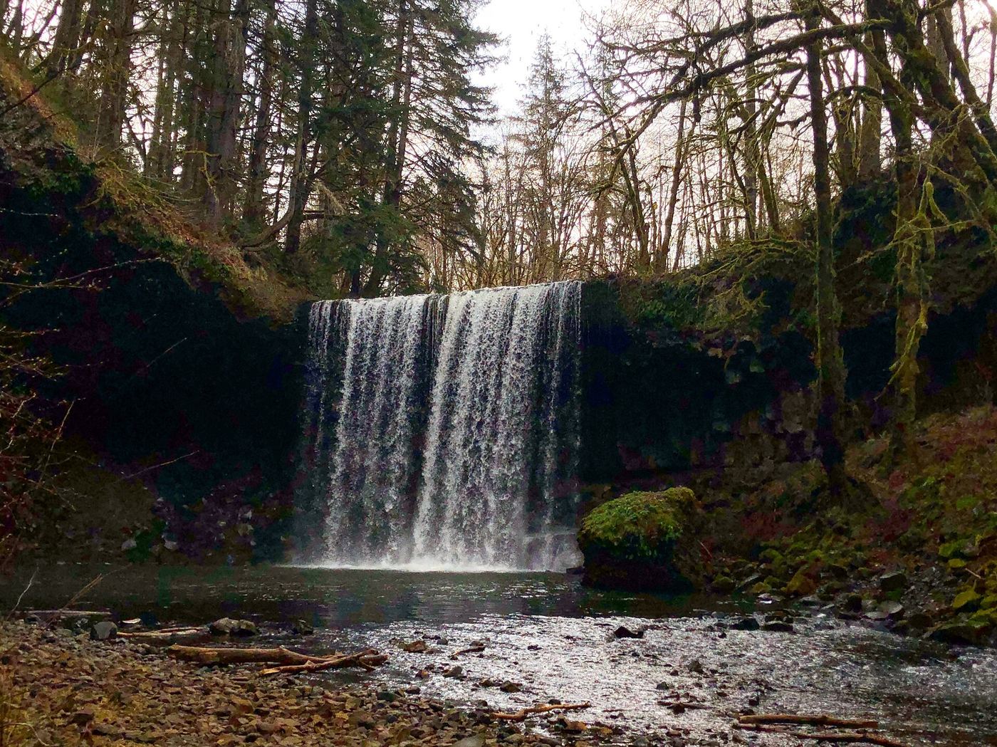
Photo creditPhoto: BLM Oregon & Washington, Public domain, via Wikimedia Commons
Beaver Falls, OR

Short trail and parking pullout documented

Oregon

Beaver Falls

About 0.7 mile round trip

From the gravel pullout, the trail descends two switchbacks through forest, then undulates along the slope past a rock face and a poison oak warning sign before dropping to the cobbled shore of the plunge pool below Beaver Falls. Return the same way. A fence along the road blocks the old scramble route; use the trail.

Photo creditPhoto: DJ Cane, CC BY-SA 4.0, via Wikimedia Commons
Butte Creek Falls, OR

Signed state forest trail and trailhead documented

Oregon

Butte Creek Falls

About 1.1 mile loop

From the trailhead restrooms, head left toward the falls. After about 0.2 mile a spur on the right leads to Upper Butte Creek Falls. Back on the loop, continue straight downhill through forest, cross a log footbridge, and reach a rock bluff overlooking Butte Creek Falls. Return to the junction and turn right uphill past stone steps to the trailhead.

Photo creditPhoto: Bonnie from United States, CC0, via Wikimedia Commons
Butte Falls, OR

Partial: historical parking route documented; replacement-platform approach and current access unconfirmed

Oregon

Butte Falls

Historical short return walk; current endpoint distance unverified

The town confirms that its community forest contains the namesake falls of Big Butte Creek. A 2022 firsthand account describes a signed turnoff before entering town from Highway 62 and a short walk from waterfall parking to an observation deck. The town's February 2024 update describes replacing that deck; completion and current public approach were not verified.

Photo creditPhoto: Ian Poellet, CC BY-SA 4.0, via Wikimedia Commons
Cedar Mill Falls, OR

Partial guide: short boardwalk walk; permission to park in the church lot is not stated

Oregon

Cedar Mill Falls

0.2 mile round trip from the church lot

Cedar Mill Falls is a small urban waterfall on Cedar Mill Creek just below NW Cornell Road. From the Cedar Mill Bible Church at 12208 NW Cornell Road, walk east along Cornell Road past the 1863 John Quincy Adams Young House, which is not open to visitors. Past the house, a gravel trail leads to the Sue Conger Boardwalk, which drops to a shaded viewing platform at the falls. Steps lead from the platform back up to the Cornell Road sidewalk. The sources describe parking in the church lot but do not say that the church permits trail parking.

Photo creditPhoto: Kingofthedead, CC BY-SA 3.0, via Wikimedia Commons
Celestial Falls, OR

State park canyon trail to the power plant viewpoint

Oregon

Celestial Falls

Short, steep canyon walk; the full out-and-back to Lower White River Falls is 1.4 miles

Celestial Falls is the lower step of White River Falls, a drop of about 41 to 45 feet a short way downstream of the main falls. From the parking area, an overlook of White River Falls is a short walk on flat gravel. For Celestial Falls, take the trail down the slope, cross the wide wooden catwalk in front of the old settling pond, and keep left down the railroad-tie steps to the old power plant. A rough scramble path to the right gives an early view, but Oregon Hikers advises staying on the main trail. The best view of Celestial Falls and its basalt amphitheater is from behind the power plant. Return the same way, uphill.

Photo creditPhoto: Bobjgalindo, CC BY-SA 4.0, via Wikimedia Commons
Clearwater Falls, OR.

Source-reviewed route and parking

Oregon

Clearwater Falls

Short walk; source distances differ

Follow the short Clearwater River path beside Clearwater Falls campground to the viewing area. The USFS/BLM brochure identifies the picnic-area approach, and Travel Oregon describes an accessible trail to a platform.

Photo creditPhoto: Bobjgalindo, CC BY 4.0, via Wikimedia Commons
Cline Falls, OR.

Source-reviewed route and parking

Oregon

Cline Falls

Approximately 1.5–1.6 miles round trip

From the state park parking, walk up the entrance road to the trail following the Deschutes River downstream. Pass beneath the Highway 126 bridge, continue across the old highway alignment and follow the river to views of Cline Falls. Return the same way. The waterfall lies outside the developed park; it is not visible simply by stopping at the picnic area.

Photo creditPhoto: Bonnie Moreland, CC0, via Wikimedia Commons
Coopey Falls, OR

Trail viewpoint above the falls; the base is on private convent land

Oregon

Coopey Falls

About 0.4 miles one way, per Oregon Hikers

Coopey Falls is a 150-foot horsetail falls on Coopey Creek. From the Angels Rest Trailhead, climb the Angels Rest Trail through forest and across an open talus slope. A clifftop viewpoint on a short diversion to the left looks down on the falls. A spur just past this open area leads down to the top of the falls, with a view up Coopey Creek. The base of the falls is on land owned by the Franciscan Sisters of the Eucharist, a convent, and is private property; this guide covers only the trail view. Return the same way.

Photo creditPhoto: Visitor7, CC BY-SA 3.0, via Wikimedia Commons
Deep Creek Falls, OR

Partial guide: roadside view; parking and land ownership for the paths to the base are not confirmed

Oregon

Deep Creek Falls

Roadside view; no measured walk to the base

Deep Creek Falls drops about 25 feet through narrows framed by columnar basalt and spreads 60 to 65 feet wide in good flow. The Northwest Waterfall Survey says the falls sit beside Oregon Route 140 about 2.75 miles west of Adel and are easily seen from the road. Wikipedia describes unmarked paths from the highway down to the stream and the base, and says travelers often pull off the highway near the falls. Who owns the land between the highway and the creek, and where it is allowed and safe to park, are not stated.

Photo creditPhoto: BLM Oregon & Washington, Public domain, via Wikimedia Commons
Diamond Creek Falls, OR

Official USFS trail and fee site documented

Oregon

Diamond Creek Falls

About 3.7 mile loop including the spur to the base

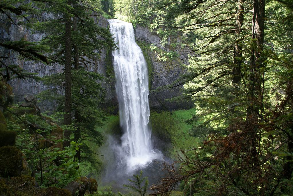
From the Salt Creek Falls parking, walk past the Salt Creek Falls overlook and cross the footbridge over Salt Creek. Go right at the first junction and follow the Diamond Creek Falls Trail along the canyon rims. At the spur junction (its sign wrongly says Lower Diamond Creek Falls), go right down a log stairway and cross a log footbridge to the base of Diamond Creek Falls. Return to the junction, pass a viewpoint above the falls, and bear left to complete the loop back to Salt Creek.

Photo creditPhoto: CC BY 4.0, via Wikimedia Commons
Dillon Falls, OR.

Oregon

Dillon Falls

Riverside visit; 0.3-mile trail connector

Visit the Deschutes River day-use area for falls views and riverside walking.

Photo creditPhoto: U.S. Forest Service- Pacific Northwest Region, Public domain, via Wikimedia Commons
Double Falls, OR

State park trail to the base of the falls

Oregon

Double Falls

Half a mile to the Canyon Trail, another half mile to the Hullt Creek bridge, then about 1/10 mile on the side path

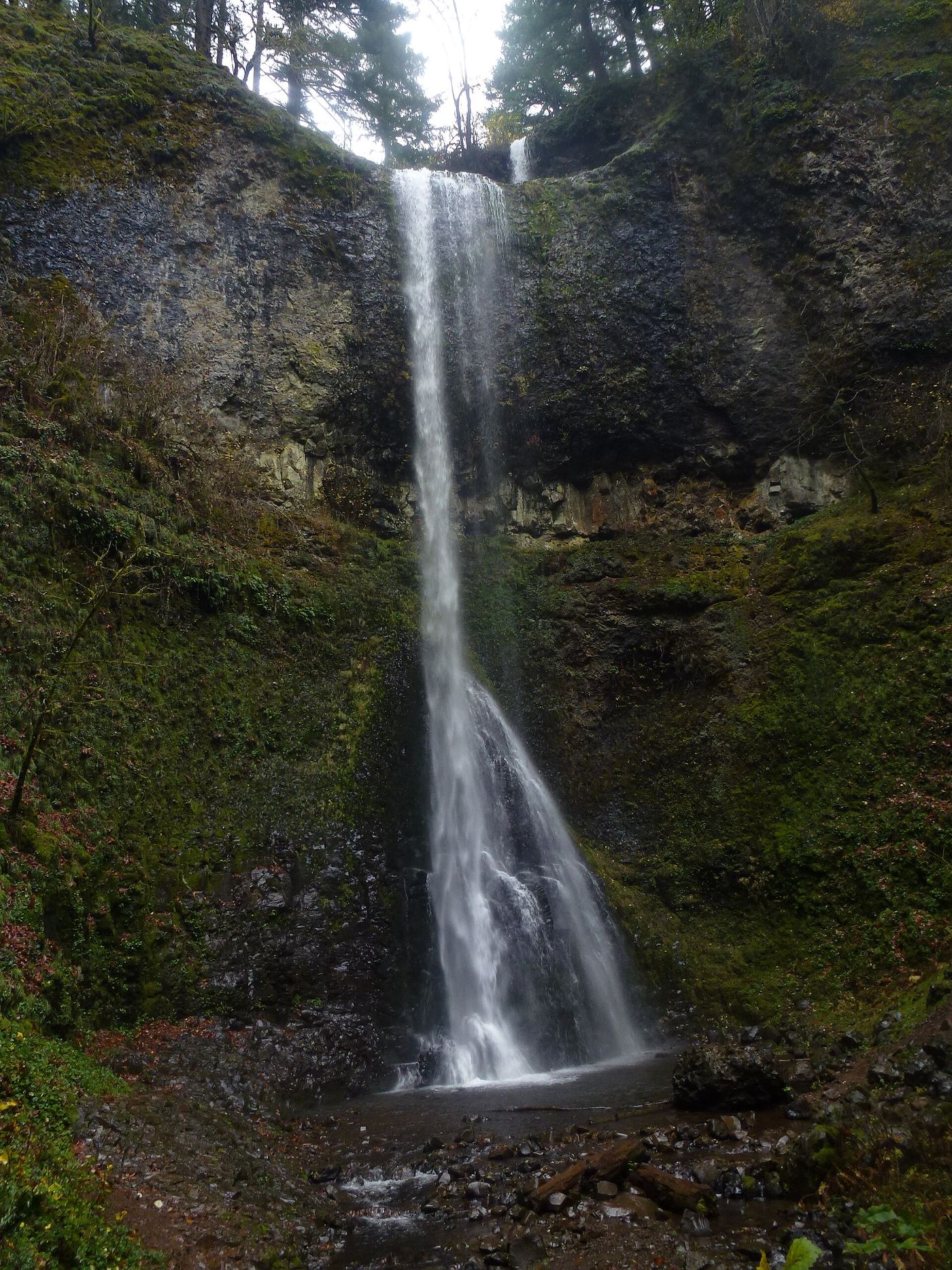
Double Falls is the tallest waterfall in Silver Falls State Park, dropping about 178 to 184 feet in two steps on Hullt Creek. From the Winter Falls Trailhead on Highway 214, take the Winter Trail down past the base of Winter Falls to the steel bridge over the North Fork Silver Creek and the Canyon Trail junction. Turn left (downstream) on the Canyon Trail, past Middle North Falls and Drake Falls, to the footbridge over Hullt Creek. The bridge gives a tree-filtered view that includes the upper drop. Turn right where the sign points to Double Falls and follow the side path to its end at the base.

Photo creditPhoto: Little Mountain 5, CC BY-SA 3.0, via Wikimedia Commons
Drake Falls, OR

State park trail to a viewing deck documented

Oregon

Drake Falls

About half a mile to the Canyon Trail, then about one-third mile more

Drake Falls is a 27-foot cascade on North Silver Creek, seen from a small viewing deck beside the Canyon Trail (part of the Trail of Ten Falls). From the Winter Falls Trailhead on Highway 214, descend the Winter Falls Trail past the base of Winter Falls to the Canyon Trail junction. Bear left and walk past Middle North Falls to the deck. Return the same way or continue on the Trail of Ten Falls.

Photo creditPhoto: Little Mountain 5, CC BY-SA 3.0, via Wikimedia Commons
Elowah Falls, OR

Established trail to the base of the falls; broken footbridge at the creek

Oregon

Elowah Falls

No separate distance to the falls; the Oregon Hikers loop past the falls is 2.1 miles

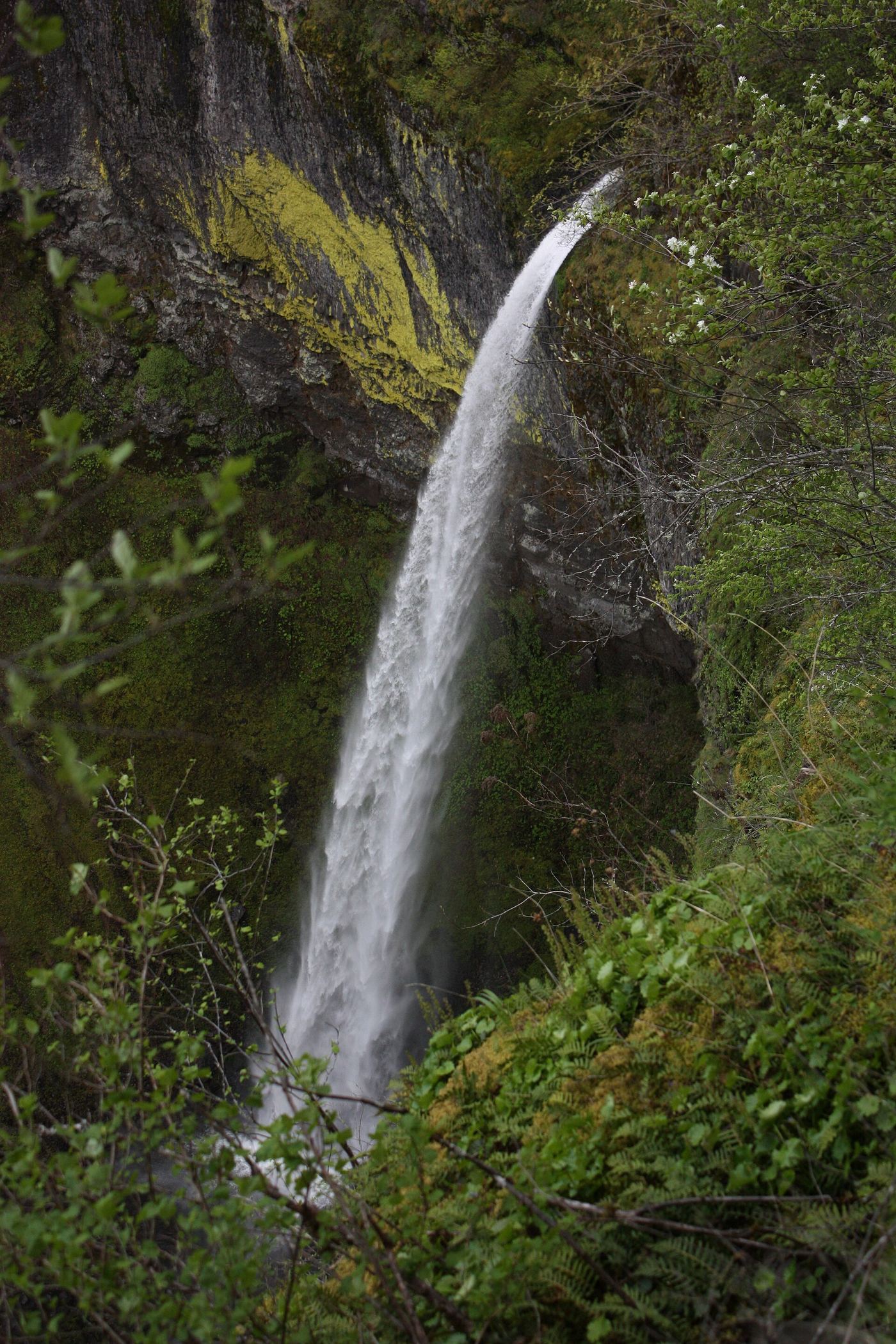
Elowah Falls drops 213 feet on McCord Creek. From the John B. Yeon trailhead, the wide trail climbs past a wooden water tank and the Nesmith Point Trail junction to the junction for Upper McCord Creek Falls. Keep left. The trail drops by switchbacks and traverses above McCord Creek to the plunge pool of the falls. The footbridge below the falls was mostly destroyed by a landslide; the creek can be crossed with care only when water is low. Return the same way, or cross and continue on the Gorge Trail to the Historic Columbia River Highway State Trail and back to the trailhead.

Photo creditPhoto: Walter Siegmund (talk), CC BY-SA 3.0, via Wikimedia Commons
Hug Point Falls, OR

Beach walk documented; passable at low tide only

Oregon

Hug Point Falls

About 0.2 mile from the trailhead

Hug Point Falls is a 15-foot falls where Fall Creek drops off a sandstone bluff onto the beach. From the parking lot, take the paved path and wooden steps down to the beach. Walk north around the first headland, which has a small cave, into the cove where the falls spill onto the sand.

Photo creditPhoto: Cole Keister coleito, CC0, via Wikimedia Commons
Ki-a-Kuts Falls, OR

Partial: historical off-trail route documented; current logging-road permission and access unverified

Oregon

Ki-a-Kuts Falls

Return route; waterfall-only distance unknown

Oregon Hikers documents an off-trail approach from Maple Creek Road via an old logging road, a slide and a steep riverbank with log jams. Its route page was last edited April 2, 2022. This is historical route information, not confirmation that the private logging-road approach is currently permitted or passable. Confirm the permitted approach with ODF before planning a visit.

Photo creditPhoto: M.O. Stevens, CC BY-SA 3.0, via Wikimedia Commons
Linton Falls, OR

Partial guide: distant view from across Linton Lake; the exact viewpoint is not described and the base has no official trail

Oregon

Linton Falls

3.0 miles round trip for the Linton Lake hike, per Oregon Hikers

Linton Falls is a multi-tier waterfall of roughly 470 to 615 feet on Linton Creek above Linton Lake in the Three Sisters Wilderness. Oregon Hikers says the falls can be seen from across Linton Lake. From the Linton Lake Trailhead, cross Highway 242 to the stairs and follow the Linton Lake Trail through forest and over a small lava field. The first lake views come at about 1 1/8 miles, and the trail descends along the shore to campsites at Obsidian Creek. The exact spot for the best view across the lake is not described. The base can only be reached on an unmaintained, extremely steep scramble path; Oregon Hikers warns that a slip above its halfway point would be fatal, and the Northwest Waterfall Survey does not publish directions because there is no developed or officially sanctioned access.

Photo creditPhoto: James m wellington, CC BY 4.0, via Wikimedia Commons
Little Illinois River Falls, OR

Short loop trail from a forest trailhead to riverside cataracts

Oregon

Little Illinois River Falls

One-mile loop from the Little Falls Trailhead

Little Illinois River Falls is a set of small cataracts where the Illinois River narrows at a bend, in the Eight Dollar Mountain area off US 199. From the Little Falls Trailhead, walk the gravel path down to an obvious four-way junction on an old miner's ditch below the campground. Bear left and switchback twice down a rubbly trail to a rocky bluff above the river, then follow the trail downstream to the bend with the cataracts. A short scramble leads down to riverside boulders. The trail then rises back to the miner's ditch and the four-way junction; take the gravel path back up to the trailhead.
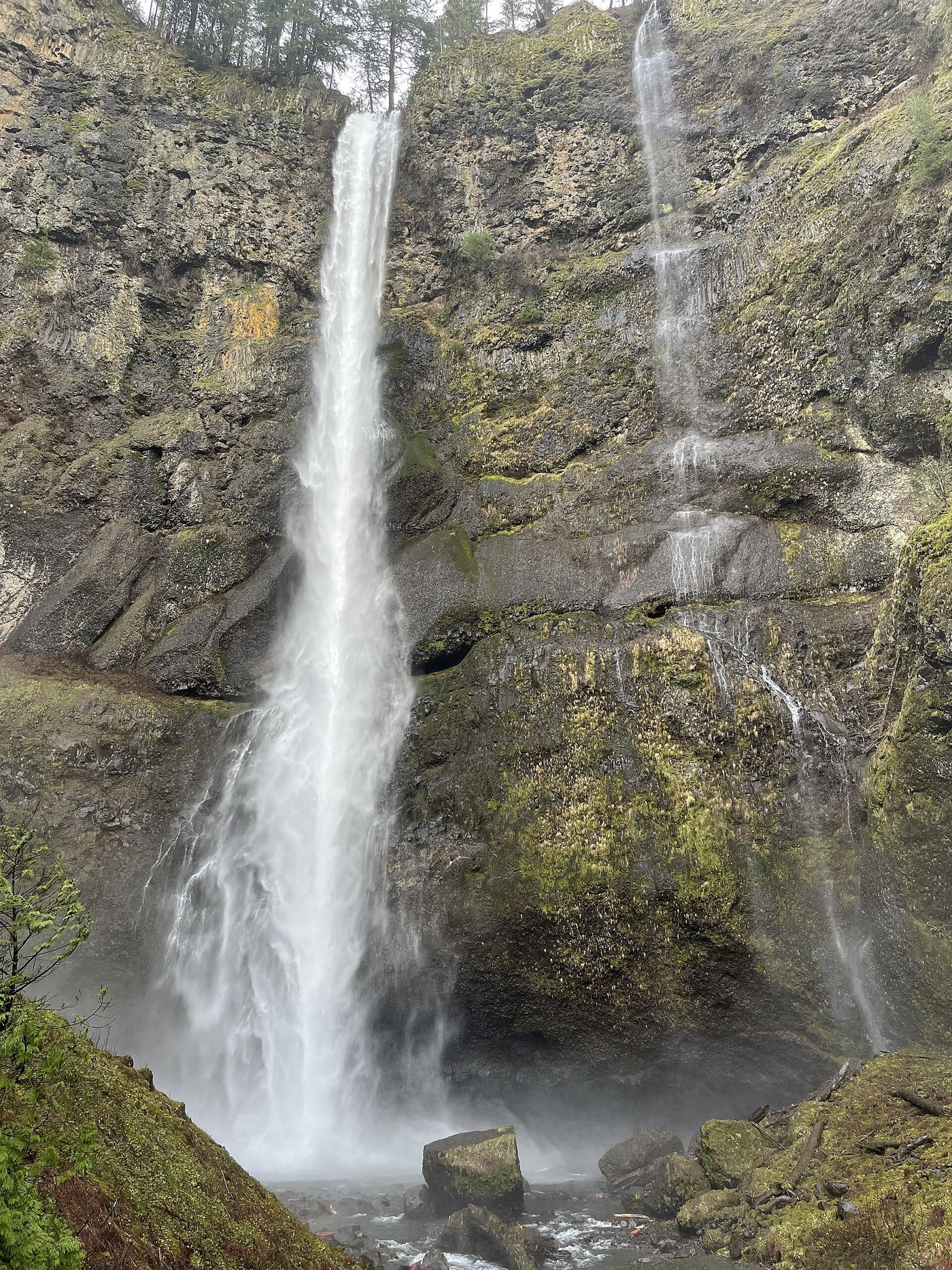
Photo creditPhoto: Alex Abair, CC BY 4.0, via Wikimedia Commons
Loowit Falls, OR

Established cliffside trail to a viewpoint across the canyon

Oregon

Loowit Falls

No separate distance; the viewpoint is shortly before the High Bridge, about 3 miles up the trail

Loowit Falls is a thin veil on a side stream that drops into Eagle Creek across the canyon from the Eagle Creek Trail. From the Eagle Creek Trailhead, follow the trail up the canyon past the Punch Bowl Falls overlook, the Tish Creek Bridge and the Fern Creek Bridge. After a third cable-railed section on a high cliff, an exposed cliff viewpoint looks across to Loowit Falls splashing into a pool with a final short drop to Eagle Creek. The High Bridge is just beyond. Return the same way. This is a different waterfall from Loowit Falls at Mount St. Helens.

Photo creditPhoto: Ezwrighter, CC BY-SA 4.0, via Wikimedia Commons
Lower Multnomah Falls, OR

Paved viewpoint walk and seasonal permits documented

Oregon

Lower Multnomah Falls

About 0.2 mile from the lodge to the Benson Bridge

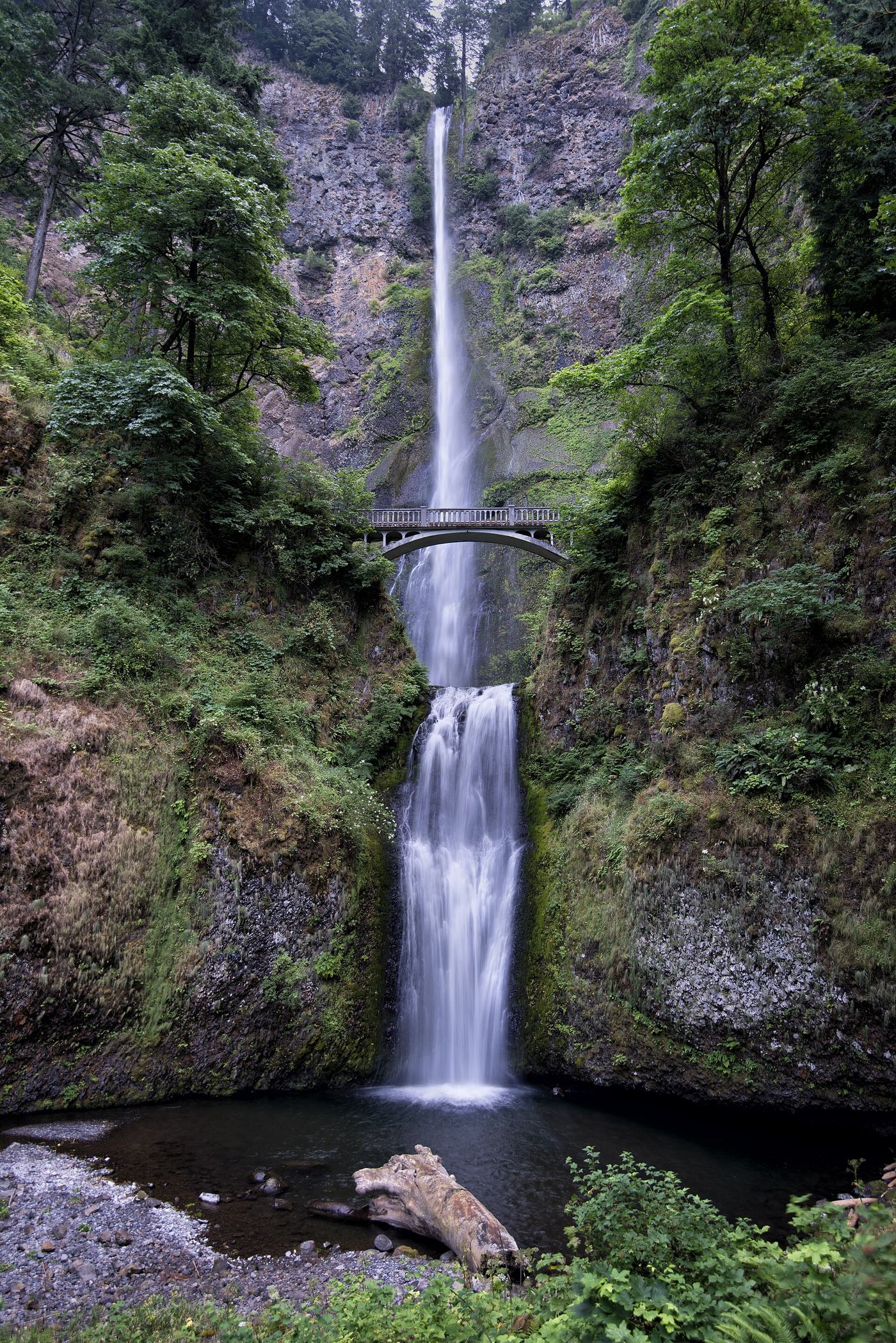
Lower Multnomah Falls is the 69-foot lower tier of Multnomah Falls. From the plaza by Multnomah Falls Lodge, the main viewpoint shows the lower and main tiers with the Benson Bridge between them. The paved path climbs gently past a lower falls viewpoint to the Benson Bridge, directly above the lower tier.

Photo creditPhoto: Another Believer, CC BY-SA 4.0, via Wikimedia Commons
Lower Punch Bowl Falls, OR

Canyon trail and spur to the shoreline beside the falls

Oregon

Lower Punch Bowl Falls

About 1.7 miles to the spur junction, then a little under a quarter mile down the spur

Lower Punch Bowl Falls is a 12 to 15 foot drop on Eagle Creek just below Punch Bowl Falls. From the Eagle Creek Trailhead, follow the Eagle Creek Trail above the creek, along cliff sections with cable handrails, past views of Metlako Falls, and across Sorenson Creek. At the clearing at the junction with the Lower Punch Bowl Trail #440B, go right and switchback down to the rocky shoreline beside the falls. A landslide above the falls has turned the old shoreline walk toward Punch Bowl Falls into a rocky scramble; for Punch Bowl Falls itself, use the overlook on the main trail. Return the same way.

Photo creditPhoto: Cindyxpeach, CC BY-SA 4.0, via Wikimedia Commons
Lower White River Falls, OR

State park canyon trail and user trail to the falls

Oregon

Lower White River Falls

1.4 miles round trip per Oregon Hikers; about 1/3 mile one way per the Northwest Waterfall Survey

Lower White River Falls is a plunge of about 15 to 21 feet into a large pool, known to kayakers as Rooster Falls. From the parking area, take the canyon trail down the slope, across the wooden catwalk and down the railroad-tie steps to the old power plant. Continue downstream on a user trail through sagebrush to the wide basalt ledge above the falls. The trail runs close to the river, so the falls may not be reachable in high water. Return the same way, uphill.

Photo creditPhoto: Bobjgalindo, CC BY-SA 4.0, via Wikimedia Commons
Majestic Falls, OR

County park stairs and viewing decks beside the parking area

Oregon

Majestic Falls

Short; steps from the upper parking area to the viewing decks

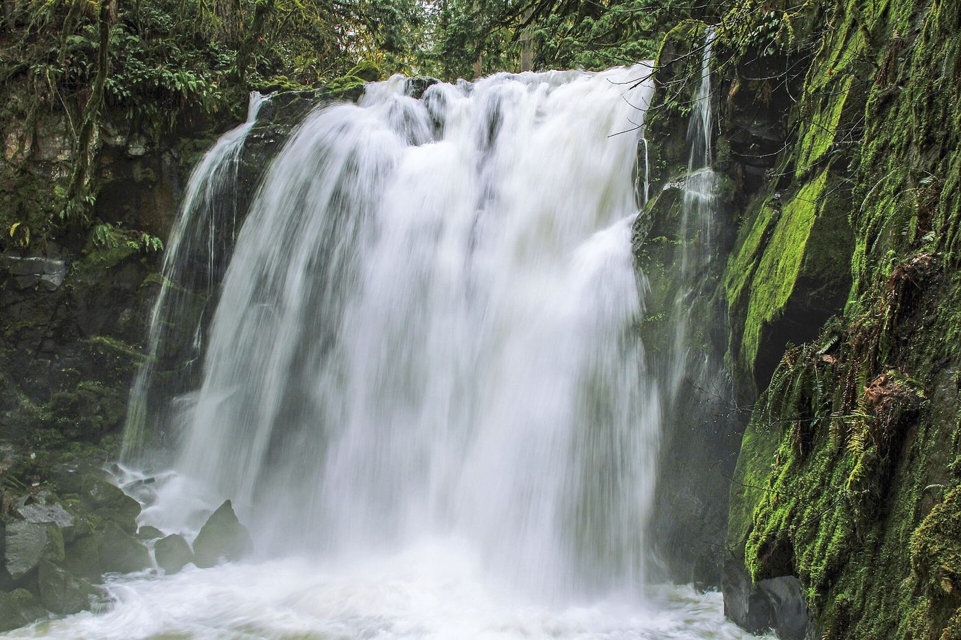
Majestic Falls is a 39-foot drop on McDowell Creek in Linn County's McDowell Creek Falls County Park, north of Sweet Home. From the upper parking area, find the trail to the left of a couple of picnic tables. It leads down to a viewing deck at the top of the falls, and a staircase drops to a lower viewpoint and a bridge below the falls. Return the same way, or follow the creek trail downstream past Crystal Falls toward the lower parking area. You can also start at the lower parking area and walk the trail upstream.

Photo creditPhoto: Bonnie from United States, CC0, via Wikimedia Commons
Metlako Falls, OR.

Collapsed overlook; limited main-trail sighting reported

Oregon

Metlako Falls

No measured distance claimed to a safe current sighting

Travel Oregon confirms that the former Metlako overlook collapsed in December 2016. Trailkeepers of Oregon describes limited views from the main Eagle Creek Trail before Sorenson Creek, but warns against leaving the trail for the unstable rim. No reopened overlook was verified. Stay on the main trail; do not seek the former spur or scramble toward the cliff edge.

Photo creditPhoto: Steve Berardi, CC BY-SA 2.0, via Wikimedia Commons
Middle Oneonta Falls, OR

Gorge trail past Ponytail Falls to a footbridge view

Oregon

Middle Oneonta Falls

1.2 miles from the Horsetail Falls Trailhead

Middle Oneonta Falls is a 24-foot drop on Oneonta Creek right beside the Trail #438 footbridge in the Columbia River Gorge; just below the bridge the creek goes over the brink of Oneonta Falls. From the Horsetail Falls Trailhead, climb Horsetail Falls Trail #438 in switchbacks, pass behind Ponytail Falls, follow the level bluff trail west, and descend into Oneonta Gorge to the metal bridge. Return the same way, or continue up to the Oneonta Trail #424, turn right, walk down to the Historic Highway, and walk back east to the trailhead. Keep away from the unfenced cliff edges on Oneonta Bluff.

Photo creditPhoto: Fredlyfish4, CC BY-SA 4.0, via Wikimedia Commons
Mill Creek Falls, OR

Scenic area trail to a clifftop view documented

Oregon

Mill Creek Falls

Slightly less than half a mile to the view

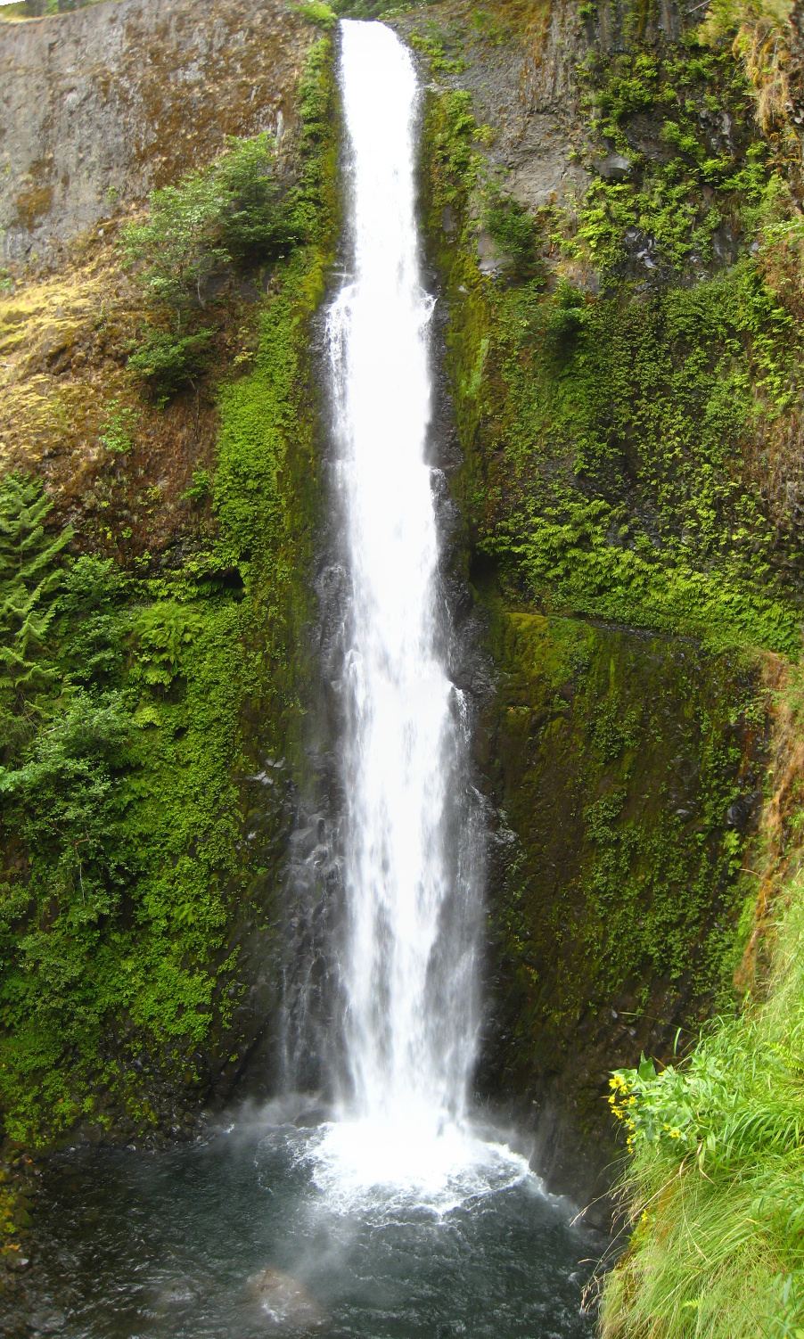
Mill Creek Falls plunges 173 feet into the Rogue River gorge in the Mill Creek Falls Scenic Area. From the picnic tables, take the trail beside the road, then turn left down an old road track into forest. A foot trail drops right to a narrower road with river warning signs; follow the pole pointing right to the falls. Below a cliff face, take the trail left to the cliff edge view of the falls. Return the same way.

Photo creditPhoto: Bobjgalindo, CC BY-SA 4.0, via Wikimedia Commons
Moon Falls, OR.

Source-reviewed route and parking

Oregon

Moon Falls

0.5 mile outward in two published segments

Follow the closed spur road for 0.3 mile and the forest trail for the final 0.2 mile to the base of Moon Falls.

Photo creditPhoto: Bonnie from United States, CC0, via Wikimedia Commons
Mosier Creek Falls, OR

Signed trail to a falls overlook documented

Oregon

Mosier Creek Falls

About one-quarter mile up the hill from the bridge

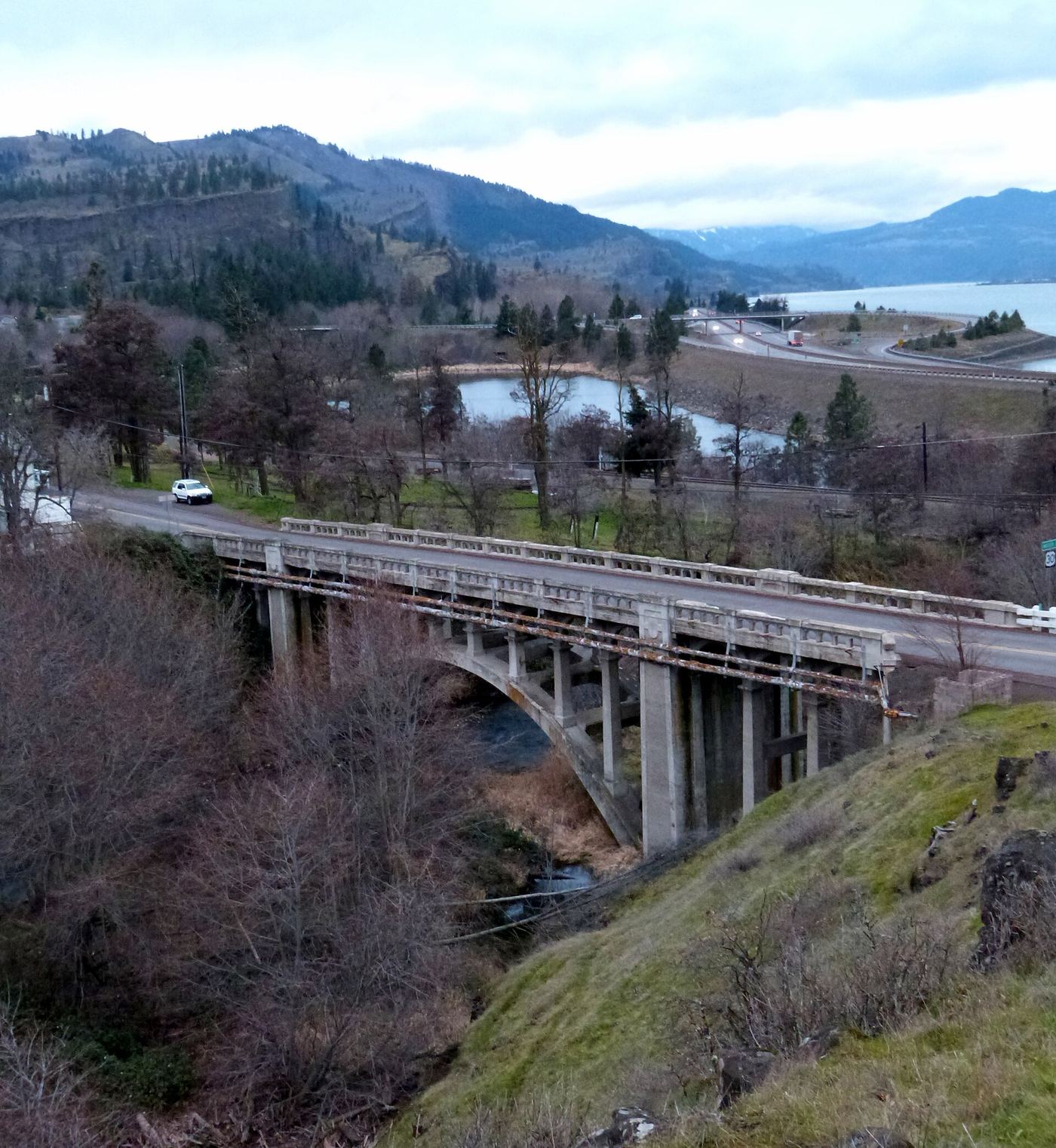
Mosier Creek Falls is a two-tiered falls of about 100 feet on Mosier Creek. From the parking area, walk east on Highway 30 across the Mosier Creek Bridge. Just past the bridge, take the trail on the right behind a bench signed for Mosier Pioneer Cemetery. Climb past the cemetery to an overlook with a plaque and a full view of the falls. Return the same way.

Photo creditPhoto: Ian Poellet, CC BY-SA 3.0, via Wikimedia Commons
National Falls, OR

Short forest trail to the base of the falls

Oregon

National Falls

0.8 miles round trip, per Oregon Hikers

This listing's coordinates match National Creek Falls, a 40-foot falls where spring-fed National Creek splits around a basalt outcrop. From Highway 62, take Highway 230 for 6 miles, turn right on FR 6530 for 1.3 miles, keep left at the Y-junction for 2.4 miles, then turn right on gravel Road 300 for 0.1 miles to the trailhead. The trail traverses and switchbacks down through old-growth forest to the top of the falls, then continues down to the end of the trail, where most of the falls can be seen. Oregon Hikers mentions crossing logs downstream for a better view from the other bank and warns that the logs are slippery and treacherous when wet. Return uphill the same way.

Photo creditPhoto: james shaw, CC BY-SA 3.0, via Wikimedia Commons
Obsidian Falls, OR

Long wilderness trail; limited-entry permit required

Oregon

Obsidian Falls

On a 12-mile loop; no separate one-way distance to the falls is given

Obsidian Falls is on Obsidian Creek beside the Pacific Crest Trail in the Three Sisters Wilderness, inside the Obsidian Limited Entry Area. From the Obsidian Trailhead near Frog Camp, follow the Obsidian Trail up along White Branch Creek through forest and across a lava flow. At about four miles it crosses White Branch Creek and forks in a meadow. Take the right fork toward Linton Meadows; about 1.7 miles up, it meets the Pacific Crest Trail. Turn left (north) on the PCT to Obsidian Falls. The PCT climbs the cliff beside the falls and crosses the creek above them. Return the same way, or continue north past Arrowhead Lakes and descend the steep Glacier Way back to the meadow fork to close the loop.

Photo creditPhoto: U.S. Forest Service- Pacific Northwest Region, Public domain, via Wikimedia Commons
Oneonta Falls, OR

Partial guide: only a partial view of the upper falls from the trail; the gorge route to the base is closed

Oregon

Oneonta Falls

Distance to the viewpoint is not published; the full Horsetail Falls Loop is 2.6 miles

Oneonta Falls drops about 100 to 120 feet at the head of Oneonta Gorge. The route that wades up the creek through the gorge is closed indefinitely because of hazards left by the Eagle Creek Fire, and this guide does not use it. The fire cleared brush on the gorge rim, and the upper third of the falls can now be seen from the Horsetail Falls Trail #438. From the Horsetail Falls Trailhead, climb the switchbacks, pass behind Ponytail Falls, and follow the bluff west into the Oneonta valley; Oregon Hikers notes views up the valley to parts of the lower falls on Oneonta Creek, especially in winter. The trail then descends to a bridge over Oneonta Creek just above the lip of the falls. Return the same way, or finish the loop on the Oneonta Trail and the Historic Highway.

Photo creditPhoto: Fredlyfish4, CC BY-SA 4.0, via Wikimedia Commons
Paulina Falls, OR

Researched walking route

Oregon

Paulina Falls

0.4-mile return to lower viewpoint

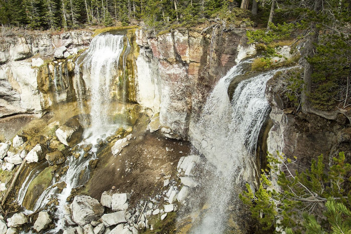
Choose the wheelchair-accessible upper overlook or the descending trail for views of both waterfall plumes.

Photo creditPhoto: Bonnie from United States, CC0, via Wikimedia Commons
Plaikni Falls, OR.

Normal road access closed

Oregon

Plaikni Falls

2 miles return when road access is available

Forest walk to snowmelt-fed falls. As checked October 27, 2026, Rim Drive and Pinnacles Road are closed, preventing the normal drive to the trailhead.

Photo creditPhoto: Bobjgalindo, CC BY-SA 3.0, via Wikimedia Commons
Proxy Falls, OR.

Seasonal highway access

Oregon

Proxy Falls

Loop with separate waterfall viewpoints

Follow the loop as signed through lava and conifer forest. The west junction leads to Lower Proxy Falls; the east junction climbs toward Upper Proxy Falls.

Photo creditPhoto: Ljmajer, Public domain, via Wikimedia Commons
Punch Bowl Falls, OR.

Oregon

Punch Bowl Falls

About 2 miles to the waterfall side-trail junction

From Eagle Creek Trailhead, hike the exposed canyon trail to the Punch Bowl Falls side trail. This is the Eagle Creek waterfall, not the separate Punchbowl Falls County Park on the Hood River.

Photo creditPhoto: Cindyxpeach, CC BY-SA 4.0, via Wikimedia Commons
Punchbowl Falls, OR

County park trail to an overlook documented

Oregon

Punchbowl Falls

Short walk to the overlook; distance not stated

Punchbowl Falls is a short falls on the West Fork Hood River in a basalt amphitheater, in Hood River County's Punchbowl Falls Park. Walk a few yards down the old service road, around a steel gate, and take the signed West Fork Trail on the left. Follow it along the gorge rim, ignoring side paths, to an exposed overlook of the falls. Dead Point Falls is visible just downstream. Return the same way or continue on the loop.

Photo creditPhoto: Ethan Conley, CC0, via Wikimedia Commons
Royal Terrace Falls, OR

County park trail to a footbridge view documented

Oregon

Royal Terrace Falls

About one-quarter mile to the footbridge

Royal Terrace Falls drops about 119 feet in tiers on Fall Creek. From the first (lower) parking area, cross the footbridge over McDowell Creek and follow the gravel trail to a junction. Go left to the footbridge below the falls. A stone staircase climbs beside the falls to a small viewing platform at the top. Return the same way or continue on the loop to Majestic Falls.

Photo creditPhoto: Bonnie Moreland from Oregon, United States, Public domain, via Wikimedia Commons
Shepperd's Dell Falls, OR

Short paved path from a roadside pullout

Oregon

Shepperd's Dell Falls

0.2 miles round trip, per Oregon State Parks

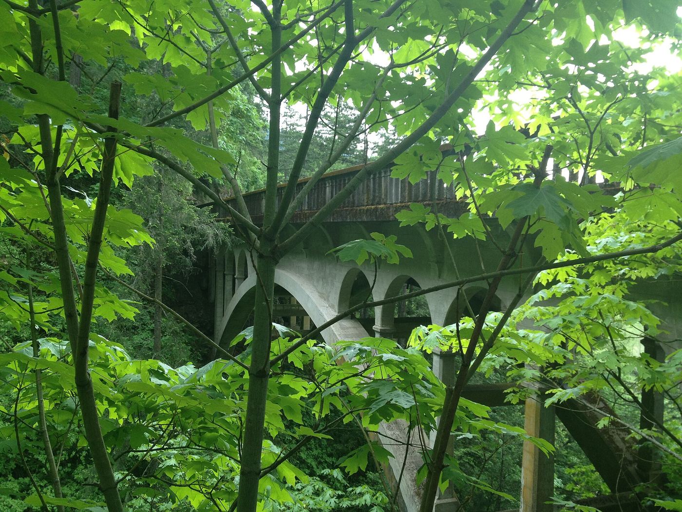
Shepperd's Dell Falls is a series of drops on Young Creek totaling about 220 feet, with the main visible tiers above the 1914 highway bridge. Park in the pullouts on either side of the Historic Highway. A short paved path, cut from the cliff and protected by a stone wall, starts with a few stairs and leads to an overlook of the lower tier. Walk across the bridge on both sides for more views, including straight down the creek. Return the same way.

Photo creditPhoto: Glenn Scofield Williams from Portland, Oregon, USA, CC BY 2.0, via Wikimedia Commons
Sherar's Falls, OR

Partial guide: public viewing and parking spots on tribal land not described in detail

Oregon

Sherar's Falls

Roadside; no walking distance given

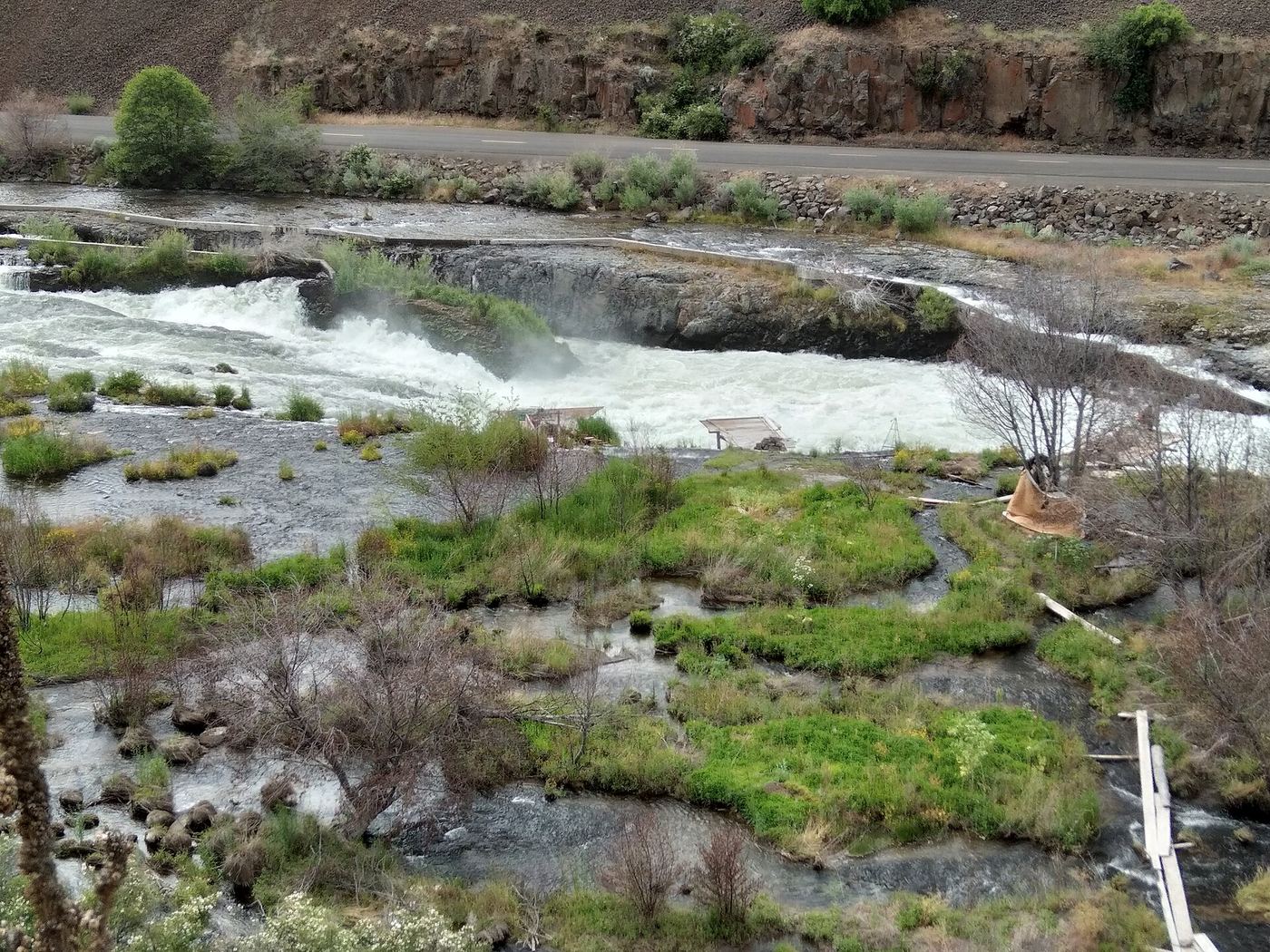
Sherar's Falls is a 15-foot drop of the Deschutes River into a narrow horseshoe-shaped trough, just above Sherars Bridge on OR 216. It is a long-established tribal fishing ground; members of the Warm Springs tribes fish here with nets. The Northwest Waterfall Survey says the falls are on tribal land, that public access is allowed only on the west side of the river, and that some parking areas are reserved for tribal members. Follow the posted rules and park only where signs direct. The exact public viewing and parking spots are not described in detail.

Photo creditPhoto: Bobjgalindo, CC BY-SA 4.0, via Wikimedia Commons
Singer Falls, OR

Partial guide: public stair route documented; parking not described

Oregon

Singer Falls

Short stair walk down the bluff; distance not stated

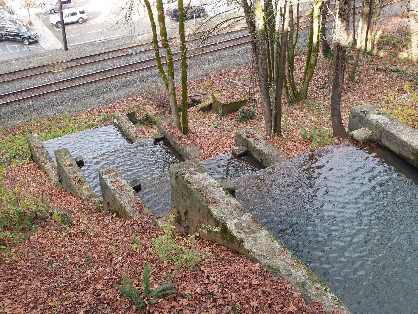
Singer Falls is a stepped falls of concrete and local stone built by a Works Progress Administration project, dropping over the bluff in Oregon City. From the McLoughlin House and City Hall on the upper level, walk through the short road tunnel under Singer Hill Road to the McLoughlin Promenade. The trail and steps follow the right side of the falls down to the base of the Oregon City Elevator, where a tunnel under the railroad tracks leads to 7th Street.

Photo creditPhoto: Ian Poellet, CC BY-SA 3.0, via Wikimedia Commons
Starvation Creek Falls, OR

Short paved walk to a viewpoint documented

Oregon

Starvation Creek Falls

Under 300 feet from the parking lot

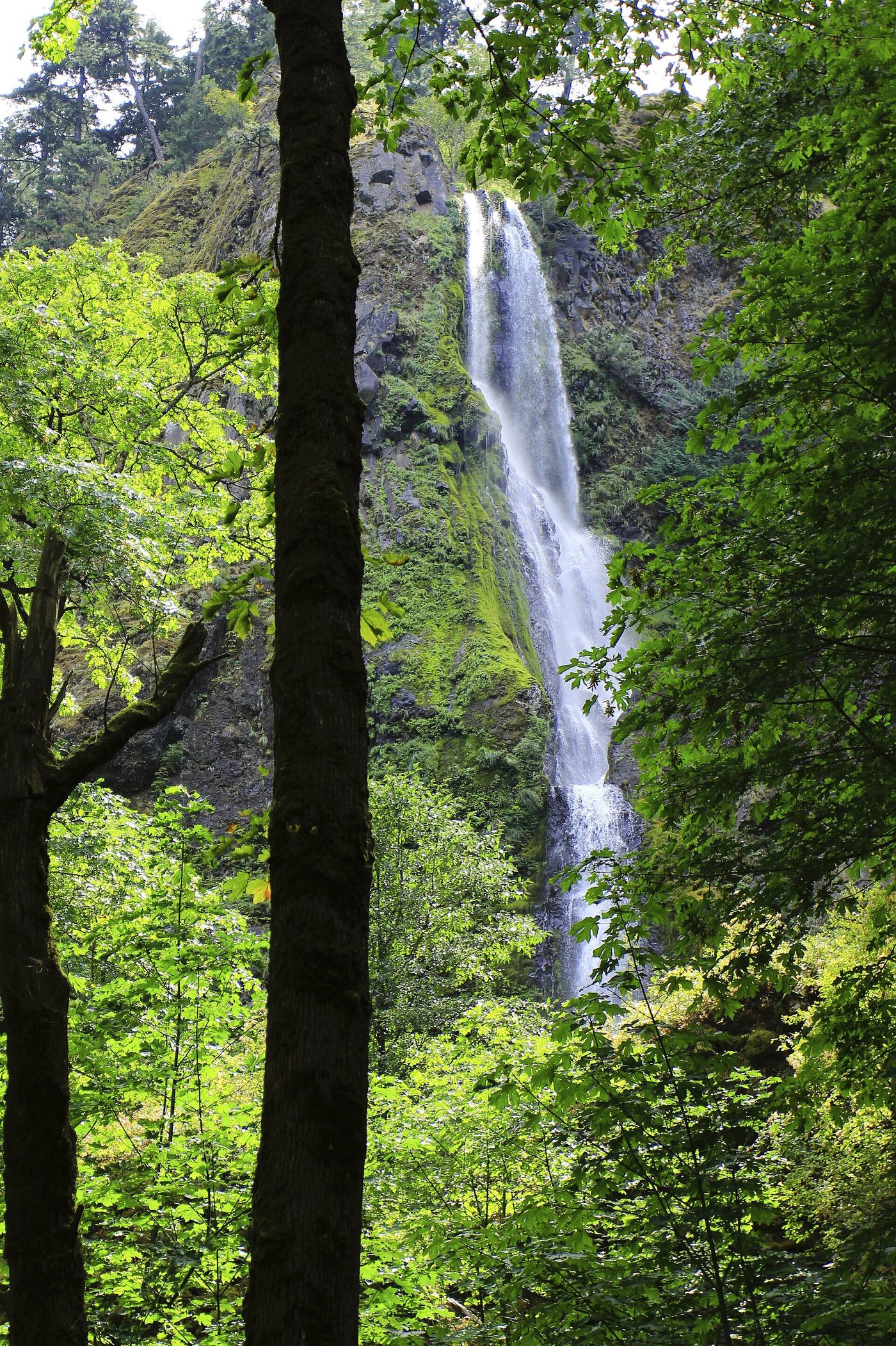
Starvation Creek Falls drops more than 220 feet in two tiers. From the parking lot, follow the paved walkway past the restrooms to the sign for Waterfall. The falls are seen from the concrete walkway and picnic area; a large boulder hides part of the lower tier.

Photo creditPhoto: Bonnie from United States, CC0, via Wikimedia Commons
Steelhead Falls, OR

Short BLM trail into the Deschutes canyon

Oregon

Steelhead Falls

About 0.5 mile one way (BLM); 2.2 miles round trip on the Oregon Hikers route

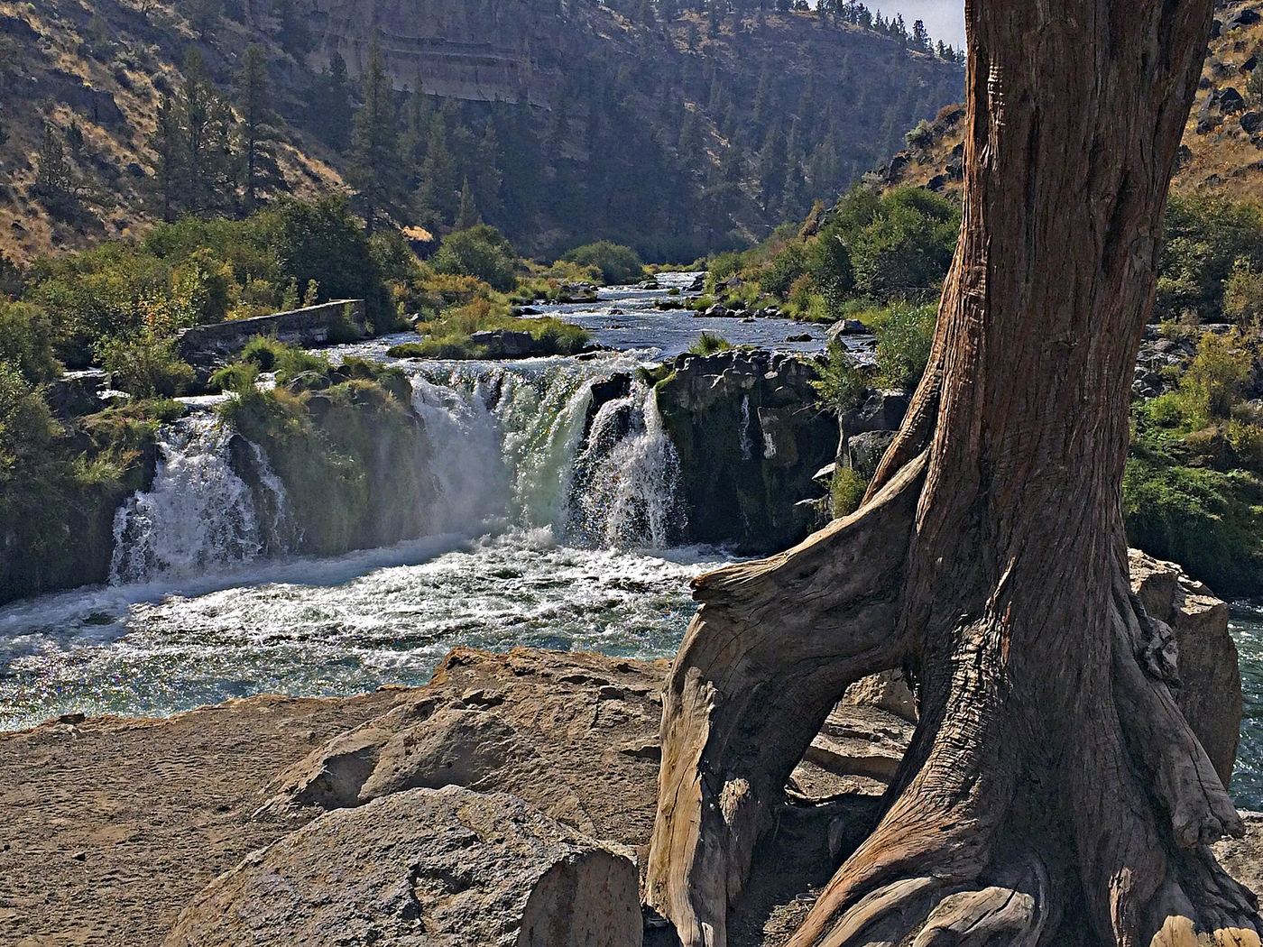
Steelhead Falls is a 15- to 20-foot drop on the Deschutes River in the Deschutes Canyon-Steelhead Falls Wilderness Study Area. From the trailhead kiosk, follow the main trail down into the canyon. It passes a short side trail to a rock ledge at the river, then runs above the top of the falls. A little farther, past a big old juniper, a trail leads down to a clifftop promontory that is a good viewpoint. Return the same way. Jumping into the pool is not advised while the water is cold.

Photo creditPhoto: Maria Thi Mai; Bureau of Land Management Oregon and Washington, Public domain, via Wikimedia Commons
Sweet Creek Falls, OR.

Source-reviewed route and parking

Oregon

Sweet Creek Falls

About 0.4 mile each way

Use the Sweet Creek Falls Trailhead farther south along Sweet Creek Road. Current local tourism pages say Homestead Trailhead and its damaged boardwalk remain closed in 2026. Follow the signed southern approach to the main falls and return without entering the closed section.

Photo creditPhoto: Bonnie from United States, CC0, via Wikimedia Commons
Tamolitch Falls, OR.

Parking and road construction restrictions

Oregon

Tamolitch Falls

2.1 miles to Blue Pool

Walk upstream to Blue Pool. Tamolitch Falls is usually dry; the pool remains spring-fed.

Photo creditPhoto: U.S. Forest Service- Pacific Northwest Region, Public domain, via Wikimedia Commons
Tunnel Falls, OR

Long established cliffside trail; walk behind the falls

Oregon

Tunnel Falls

6 miles one way (Oregon Hikers); 12 miles round trip

Tunnel Falls plunges about 172 feet on the East Fork Eagle Creek, and the Eagle Creek Trail passes through a tunnel blasted behind the falls. From the Eagle Creek Trailhead, follow the gently graded trail up the canyon past Punch Bowl Falls, the High Bridge, Tenas Camp and the 4 1/2 Mile Bridge. Around mile 5 the trail enters the Mark O. Hatfield Wilderness, where a free self-issued permit is required. Past Wy'East Camp and Blue Grouse Camp, the trail crosses a cable-railed cliff and enters the amphitheater of Tunnel Falls. Return the same way. Twister Falls is less than half a mile farther.

Photo creditPhoto: Chris M Morris, CC BY 2.0, via Wikimedia Commons
Upper Butte Creek Falls, OR

Short state forest trail to a walk-behind waterfall

Oregon

Upper Butte Creek Falls

About 0.2 mile to the spur junction; the full loop with Butte Creek Falls is 1.1 miles

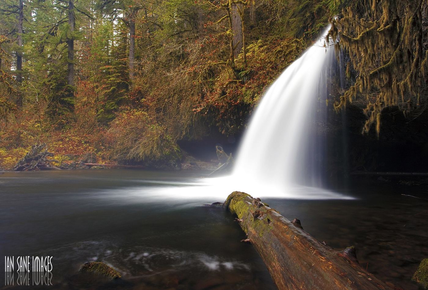
Upper Butte Creek Falls is a curtain of water over a wide, deeply undercut basalt ledge on Butte Creek east of Scotts Mills. From the trailhead, take the trail that starts down near the restroom and go left at the sign for the falls. The wide trail drops steeply for about 100 yards, then levels. At a signed junction in about 0.2 mile, turn sharp right below a wood retaining wall and follow the short spur to the falls. Paths usually lead behind the falls into the cavern. Return to the junction, then go back up to the trailhead or continue on the loop to the overlook of Butte Creek Falls.

Photo creditPhoto: Ian Sane from Oregon, USA, CC BY 2.0, via Wikimedia Commons
Upper Coopey Falls, OR

Short climb on the Angels Rest Trail and side path to the base

Oregon

Upper Coopey Falls

0.5 mile on foot from the trailhead

Upper Coopey Falls is a 35-foot block-shaped fall on Coopey Creek near the start of the Angels Rest Trail. From the Angels Rest Trailhead, climb the Angels Rest Trail past the viewpoint of Coopey Falls. The trail crosses Coopey Creek on a small bridge just above Upper Coopey Falls, and a short, muddy side path leads to the base. Return the same way. The base of the lower Coopey Falls is on private convent property.

Photo creditPhoto: Visitor7, CC BY-SA 3.0, via Wikimedia Commons
Upper McCord Creek Falls, OR

Cliffside trail to a viewpoint of the falls

Oregon

Upper McCord Creek Falls

1.9 miles round trip, per Oregon Hikers

Upper McCord Creek Falls is a falls of about 55 to 64 feet just above Elowah Falls. From the John B Yeon Trailhead, climb the wide trail past a wooden water tank and the Nesmith Point Trail junction to the Gorge-Upper McCord Creek Falls Trail Junction, marked by a small sign. Turn sharply right and switchback up a scree slope past old penstock pipes to a ledge blasted from the cliff face, with a pipe railing. Rounding the cliff gives a high view of Elowah Falls below and Upper McCord Creek Falls ahead. Past the end of the railing is a viewpoint of the upper falls, which now flows as a single drop. Return the same way.

Photo creditPhoto: Ian Sane from Oregon, USA, CC BY 2.0, via Wikimedia Commons
Upper Oneonta Falls, OR

Partial guide: only the top of the falls is visible from the trail; no route to the base

Oregon

Upper Oneonta Falls

No distance to the viewpoint is given; it is on the way to Triple Falls, a 3.6-mile round trip

Upper Oneonta Falls (marked Oneonta Falls on topographic maps) plunges 65 feet into a deep amphitheater on Oneonta Creek. From the Oneonta Trailhead, the Oneonta Trail climbs, turns left at the Gorge Trail junction, and enters the Oneonta Gorge. Past the junction with the Horsetail Falls Trail and the wilderness permit box, the trail climbs to a pair of switchbacks high above the amphitheater, where you can see only the very top of the falls. The old scramble paths to the base have disappeared since the 2017 fire, and no route to the base is established.

Photo creditPhoto: Fredlyfish4, CC BY-SA 4.0, via Wikimedia Commons
Upper Proxy Falls, OR

Loop and roadside trailhead parking documented.

Oregon

Upper Proxy Falls

1.5-mile loop

Upper Proxy Falls is one of the two waterfall views on this forest and lava-field loop.

Photo creditPhoto: U.S. Forest Service- Pacific Northwest Region, Public domain, via Wikimedia Commons
Vidae Falls, OR

Partial guide: roadside falls on East Rim Drive, which closes each winter and has a construction closure listed

Oregon

Vidae Falls

Roadside; no walk

Vidae Falls is a spring-fed waterfall that drops about 100 to 120 feet beside East Rim Drive where the road crosses Vidae Creek, east of Munson Valley. From park headquarters, drive 3 miles east on East Rim Drive and turn into the Vidae Falls Picnic Area; the falls are seen from the road. East Rim Drive closes to cars each winter, and the park's visitor guide lists a road construction closure between Park Headquarters and the Phantom Ship Overlook that affects Vidae Falls. Check the park's current conditions page before going.

Photo creditPhoto: Andreas Geick, CC BY-SA 3.0, via Wikimedia Commons
Wahclella Falls, OR.

Source-reviewed route and parking

Oregon

Wahclella Falls

1 mile to the falls

USFS describes crossing several bridges on the trail to an enclosed waterfall grotto. Use the signed trailhead just south of I-84 Exit 40.

Photo creditPhoto: A F Litt, CC BY 3.0, via Wikimedia Commons
Willamette Falls, OR

Public roadside viewpoint with parking documented

Oregon

Willamette Falls

Roadside viewpoint; no walk distance stated

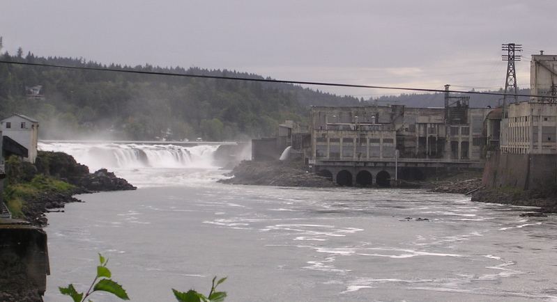
Willamette Falls is a horseshoe-shaped falls about 40 feet high and roughly 1,500 feet wide on the Willamette River between Oregon City and West Linn. Industry lines both banks, so the public does not get close access. The signed viewpoint on Highway 99E just south of downtown Oregon City gives the closest public view. A second viewpoint on northbound Interstate 205 near milepost 7.5 looks down from higher up, and the Oregon City Bridge gives distant views.

Photo creditPhoto: The original uploader was Cacophony at English Wikipedia., CC BY-SA 3.0, via Wikimedia Commons
Winter Falls, OR

State park trail from a highway trailhead to the base of the falls

Oregon

Winter Falls

About one-fifth of a mile one way, per the Northwest Waterfall Survey

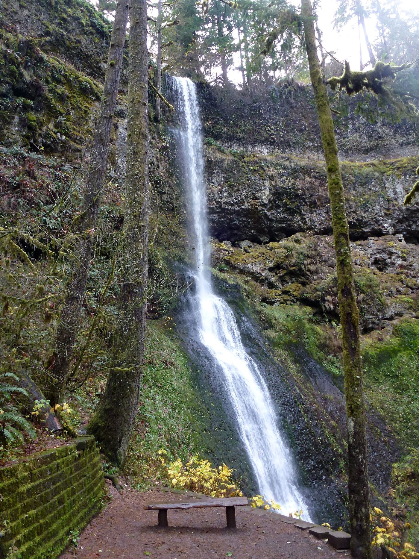
Winter Falls drops 134 feet on Winter Creek in Silver Falls State Park. From the Winter Falls Trailhead pullout on Highway 214, take the Winter Falls Trail down into the canyon. Views of the falls open near the bottom of the first descent, and trees block part of the view lower down. The same trail continues down to the Canyon Trail on the North Fork Silver Creek, which is part of the Trail of Ten Falls. Return the same way.

Photo creditPhoto: Little Mountain 5, CC BY-SA 3.0, via Wikimedia Commons
Youngs River Falls, OR

Verified parking and downhill approach

Oregon

Youngs River Falls

0.25 mile one way; approximately 0.5 mile return

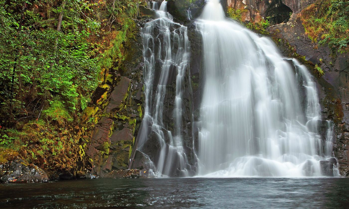
From the Youngs River Falls parking area, follow the short downhill trail to the waterfall base and return uphill. Visitors who do not take the trail can also see the falls from the lot.

Photo creditPhoto: Ian Sane from Oregon, USA, CC BY 2.0, via Wikimedia Commons

Partial guide: private land open to the public by the owners; rough unofficial path; state purchase pending

Oregon

Abiqua Falls

About 0.8 mile round trip

Abiqua Falls is on private land owned by Mount Angel Abbey and Longview Timberlands, which allow public access. From the parking area at the gate, walk back along the road about 100 feet and take the second trail dropping down to the right. Descend steeply for 0.2 mile to Abiqua Creek, then turn left and follow a rough path upstream for about 0.2 mile over rocks and logs to the basalt bowl at the base of the falls. Return the same way. Oregon State Parks is buying the property, and access rules may change when the sale closes.

Location map; no photo available.

Main waterfall approach and parking unconfirmed

Oregon

Alkali Falls

Less than 500 feet to creek, not the main waterfall

Northwest Waterfall Survey warns that the developed trail reaches minor downstream cascades rather than the main Alkali Falls. Seeing the main falls requires scrambling beyond the developed trail.

Location map; no photo available.

Roadside picnic area view into the canyon; partial view through trees

Oregon

Annie Falls

Roadside; the view is from the picnic area

Annie Falls is a 53-foot cascade on Annie Creek in Annie Creek Canyon, inside Crater Lake National Park. It is seen from above at the Annie Falls Picnic Area beside OR 62. Trees in the canyon block much of the view: the National Park Service says the sound is easy to hear but a clear view is hard to get. One picnic table sits under the trees near the spot where the falls are most likely to be seen. Do not climb down toward the falls; the canyon walls are crumbly and unstable.

Location map; no photo available.

Signed hatchery nature trail to a creek viewpoint

Oregon

Barrier Falls

Short walk; the trail sign gives 1,100 feet to the falls

Barrier Falls is a 5-foot slide over a basalt shelf on Gnat Creek, a natural barrier to fish, beside the Gnat Creek Fish Hatchery in Clatsop County. From the covered picnic shelter at the hatchery visitor parking, walk past the sign for Barrier Falls. The path passes under power lines into woods; at a junction, go left and cross the hatchery road to the Barrier Falls Viewpoint. A short interpretive loop leads down to the creek and back. Near the rearing tanks, an overlook shows a 15-foot waterfall on a side stream.

Location map; no photo available.

Established trail from Wallowa Lake Trailhead to a footbridge at the falls

Oregon

BC Creek Falls

2.9 miles round trip, 700 feet of elevation gain

From the Wallowa Lake Trailhead at the south end of Wallowa Lake, head right on the West Fork Wallowa River Trail at the junction a few yards in. At the junction with the Chief Joseph Mountain Trail, bear right, then keep left at the sign for the campground. The trail crosses the West Fork on a footbridge, switchbacks up a steep slope and traverses to BC Creek. A railed single-log footbridge crosses the creek, with the falls cascading above and below it. Return the same way.
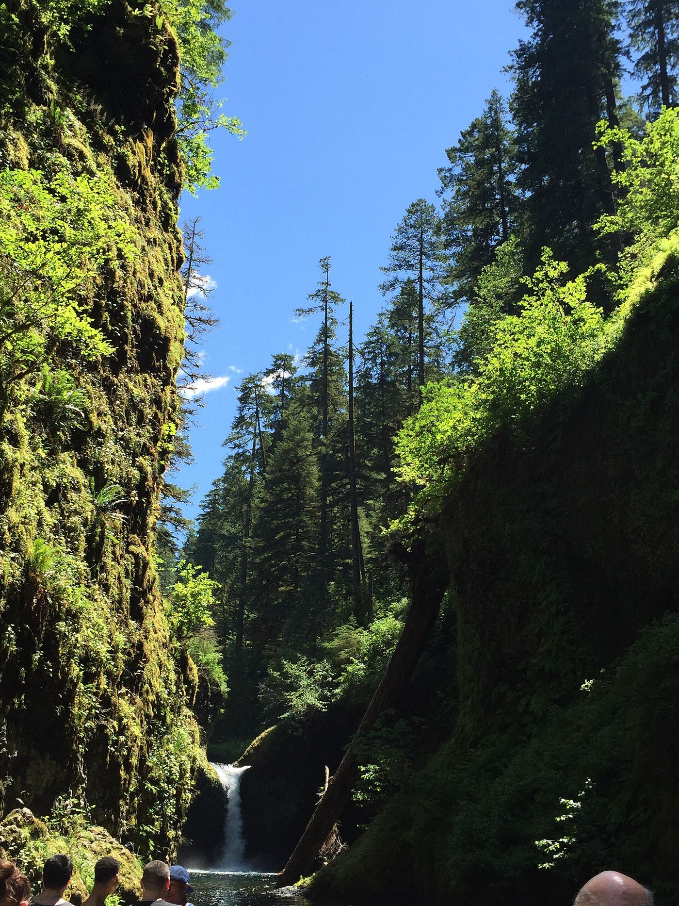
Location map; no photo available.

Trail and beach walk to the lower tier; upper user trails closed

Oregon

Blumenthal Falls

About 1 mile from the parking lot to the falls

Blumenthal Falls is a small seasonal waterfall that tumbles in tiers to the sea at the north end of Short Sand Beach in Oswald West State Park. From the trailhead on US 101, follow the trail down along Short Sand Creek and follow signs to Short Sand Beach, then walk north along the beach. The lower tier can be seen from the north end of the beach, best at low tide. The steep user trails from the Cape Falcon Trail down to the upper falls are closed and posted with Danger signs; do not use them.

Location map; no photo available.

Partial guide: roadside view from the highway right-of-way; land status at the falls is not stated

Oregon

Bonnie Falls

Short trail from the roadside turnout; no distance is given

Bonnie Falls is a 15-foot drop on Scappoose Creek beside a fish ladder. From US 30 in Scappoose, take the Scappoose-Vernonia Highway west about 4 miles. A parking turnout is on the southwest (creek) side of the road, 300 yards before Walker Road. A trail from the turnout leads within easy view of the falls. The area next to the road is highway right-of-way; the status of the land at the falls is unclear. Getting down to the water requires climbing and is not recommended.

Location map; no photo available.

Short stone staircase from the highway to the base

Oregon

Bridge Creek Falls

About 500 feet from the road to the base

Bridge Creek Falls drops in three tiers on small Bridge Creek, just south of the Wilson River Highway (OR 6) near the Footbridge Trailhead in Tillamook County. A small wooden sign and an old stone staircase mark the start at the road. From the Footbridge Trailhead, head up the gravel trail from the parking area, cross the highway at the end of the crash barrier, and walk a few yards along the road to the stone staircase. Climb the stone steps and walkways beside the creek to the base of the falls. A small cistern sits at the base. Return the same way.

Location map; no photo available.

Short paved walk from Starvation Creek Trailhead

Oregon

Cabin Creek Falls

0.3 mile on foot from the trailhead; 0.6 mile round trip

From the Starvation Creek Trailhead, walk west beside the freeway on the paved Historic Columbia River Highway State Trail. Cabin Creek Falls, 220 feet in two tiers, is the first waterfall on the way. A huge fallen basalt boulder stands in front of it and hides much of the view; a scramble trail leads up to a rock overhang at the base. Return the same way, or continue west to Hole-in-the-Wall Falls.

Location map; no photo available.

Partial guide: the last section uses a powerline maintenance road that is not confirmed as an official trail

Oregon

Camp Benson Falls

About 4.9 miles round trip, per Oregon Hikers

Camp Benson Falls drops about 90 feet on Summit Creek. From the Starvation Creek Trailhead, walk west beside the freeway on the paved Historic Columbia River Highway State Trail, past Cabin Creek Falls, the Hole in the Wall Falls junction and the Lindsey Creek crossing. Where a gravel powerline maintenance road crosses the paved trail, walk up the road to the powerline corridor and bear right (west). At the next split, turn right and drop to the corridor for a view of the falls from above. Return the same way. The Northwest Waterfall Survey does not publish directions to this falls because it says there is no developed or officially sanctioned access, so the powerline road section is not confirmed as an official trail.

Location map; no photo available.

Developed BLM recreation site with stairway to the falls

Oregon

Cavitt Falls

Short stairway from the day use area; distance not stated

Cavitt Falls is a small falls of about six to eight feet that drops into a large swimming pool on Cavitt Creek. It sits inside the BLM Cavitt Creek Falls Recreation Site. From the day use area, take the stairway down to the creek and the pool at the base of the falls.

Location map; no photo available.

Trailhead parking and overlook approach documented; current conditions unverified

Oregon

Chush Falls

A little over 2 miles each way to the overlook; allow over 4 miles return

Oregon Hikers describes a route through the Pole Creek burn to a partial view of Chush Falls.

Location map; no photo available.

Short riverside trail from the state scenic viewpoint to BLM land at the falls

Oregon

Cline Falls

1.6 miles round trip

The falls are not inside Cline Falls State Scenic Viewpoint; they are a short walk downriver on Bureau of Land Management land. From the parking near the restrooms, walk up the park entrance road and take the obvious trail down under the junipers above the Deschutes River. The trail passes under the Highway 126 bridge, crosses a flat and part of the old highway, and arrives above the falls. Spur trails lead to the rocks and viewpoints. Do not go south of the park parking area or downriver past the BLM land: both are private property.

Location map; no photo available.

Route and parking researched

Oregon

Coquille River Falls

About 1 mile return

Trail #1257 descends through old-growth forest and ends at Coquille River Falls.

Location map; no photo available.

Partial guide: distant pond-shore view; identity as the historic Dalton Falls is uncertain

Oregon

Dalton Falls

About halfway along the north shore of the pond; distance not stated

This listing marks a highly seasonal falls on the unnamed ravine one west of Mist Creek, seen only from a distance. From the Benson State Recreation Area parking, walk back toward the freeway and follow an old road between the interstate and the large pond. About halfway along the north shore, the falls can be seen on the cliffs, often together with Mist Falls. The Survey is not sure this is the historic Dalton Falls.

Location map; no photo available.

Park trail and signed spur to a cliff-edge viewpoint

Oregon

Dead Point Falls

No separate distance to the viewpoint; the full park hike is 2.1 miles round trip

Dead Point Falls drops 75 feet into the West Fork Hood River canyon just below Punchbowl Falls, in Hood River County Punchbowl Falls Park. From the large pullout on Punchbowl Road, walk a few yards down the old service road and around a steel gate. Just beyond the gate, take the signed West Fork Trail on the left. It reaches an exposed overlook of Punchbowl Falls, then continues downstream (left) to a signed 50-yard spur that ends at a cliff-edge viewpoint of Dead Point Falls. Return the same way or continue on the loop. The buildings above the falls are a former fish hatchery now in private ownership.

Location map; no photo available.

Approach or parking partly unconfirmed

Oregon

Deer Lick Falls

Short trail; measured walking distance unconfirmed

USFS identifies Deer Lick Falls Trail #1568 two road miles beyond Camp Comfort on Road 28. This is a distinct waterfall approach, not Camp Comfort Trail #1586. The reviewed sources do not establish the exact trailhead pullout or final path details.

Location map; no photo available.

Forest trail past Tumalo Falls to cliff-top viewpoints

Oregon

Double Falls

About a mile upstream from the top of Tumalo Falls; total from the trailhead not stated

Double Falls is an 89-foot, three-tier waterfall on Tumalo Creek upstream of Tumalo Falls, west of Bend. From the Tumalo Falls Trailhead, walk to the first viewpoint of Tumalo Falls, then hike up the North Fork Trail to the walled overlook at the lip of Tumalo Falls. Rejoin the North Fork Trail and continue upstream. A viewpoint gives a head-on view of the lowest two tiers of Double Falls from the top of a cliff; a little higher, another viewpoint shows the upper tiers. Return the same way. Oregon Hikers suggests Double Falls as the turnaround point for families.

Location map; no photo available.

Oregon

Drift Creek Falls

3 miles round trip

The forest trail leads to a suspension bridge overlooking Drift Creek Falls. The tourism office describes a three-mile return hike.

Location map; no photo available.

Established Pacific Crest Trail route from Cascade Locks

Oregon

Dry Creek Falls

2.2 miles on foot from the trailhead; 4.4 miles round trip

From the Bridge of the Gods Trailhead, cross the road and follow the Pacific Crest Trail beside I-84 to Moody Street. Walk the road uphill under the freeway (about 100 yards of road walking) to the Harvey Road parking area, then take the Pacific Crest Trail to the left. About one mile in, turn right on a powerline road for a short distance to where the trail resumes. The trail then descends to Dry Creek at a dirt road. Do not cross the footbridge; turn right and walk up the rough track about 2/10 of a mile to the 74-foot falls. Return the same way.

Location map; no photo available.

Partial guide: the dry falls on the trail are a probable match to this listing; the distance to the spur is not published

Oregon

Dry Falls

Distance to the spur is not published

Two descriptions of the Alder Springs Trail mention a dry waterfall reached by a short spur. Oregon Hikers notes a short spur up to a cleft with a dry waterfall, and the Deschutes River Conservancy describes a nearly hidden spur on the right, after a rocky and steep section, leading to the dry falls, where water may pour over the rock in wetter months. Neither source gives coordinates, so the match to this listing is probable but not confirmed. From the trailhead, descend through juniper grassland, climb rock steps to a stony plateau, then drop off the plateau and round a rocky promontory below the cliffs; watch for the spur on the right before the trail reaches Whychus Creek.

Location map; no photo available.

Paved and dirt trail above Multnomah Falls; summer parking permits

Oregon

Dutchman Falls

About 1.2 miles up the trail from the lodge

Dutchman Falls is a group of three small falls, each 10 to 15 feet, on Multnomah Creek above Multnomah Falls in the Columbia River Gorge. From Multnomah Falls Lodge, take the paved Larch Mountain Trail across the Benson Bridge and up 11 switchbacks to the ridge crest. Pass the side trail to the upper viewpoint and follow Multnomah Creek upstream. The first of the three falls is about 300 feet past the second bridge over the creek, and the other two follow within another 300 feet, just below Dutchman Tunnel. Return the same way, or continue on the Multnomah-Wahkeena Loop.

Location map; no photo available.

Busy trail from Multnomah Falls Lodge past the top of the falls

Oregon

Ecola Falls

About 1.6 miles one way per the Northwest Waterfall Survey; Oregon Hikers gives a longer figure

Ecola Falls is a 55-foot falls on Multnomah Creek, the last major falls on the Larch Mountain Trail. From the Multnomah Falls Lodge, follow the paved Larch Mountain Trail #441 over the Benson Bridge and up 11 switchbacks to the ridge crest. Continue upstream beside Multnomah Creek past Dutchman Falls, through the Dutchman Tunnel and past Wiesendanger Falls. After four switchbacks above Wiesendanger Falls, the trail passes the lip of Ecola Falls and looks down on its plunge pool. A scramble to the base is very steep and crumbly and is not recommended. Return the same way.

Location map; no photo available.

Route and parking researched

Oregon

Elk Creek Falls

About 0.2 mile return

From the shared trailhead, take the left fork beside Elk Creek to the waterfall viewpoint. The right-hand route climbs toward Big Tree Park and is a separate, longer walk.

Location map; no photo available.

Short creekside trail to the end of the official path

Oregon

Emerald Falls

A nearly level half mile one way, per Oregon Hikers

Emerald Falls is an unofficially named 10-foot slide on Gorton Creek, about 100 yards downstream of Gorton Creek Falls. From the Wyeth Trailhead, walk 100 feet to the junction near Gorton Creek. The Wyeth Trail goes uphill to the left and the Gorge Trail #400 crosses the creek to the right; go straight ahead on the wide path along the creek, passing small cascades, to Emerald Falls. The official trail ends here. The boulder scramble beyond to Gorton Creek Falls is not part of this route. Return the same way.

Location map; no photo available.

Oregon

Fall Creek Falls

Hike to the falls; distance not confirmed

The Forest Service identifies Trail #1502 as the hike through conifer forest and rock formations to Fall Creek Falls in Douglas County.

Location map; no photo available.

Wilderness trail to a signed viewpoint documented

Oregon

Fall Creek Falls

About 1.5 miles to the wilderness boundary, then about one more mile

From the Salt Creek Falls parking, cross the Salt Creek footbridge and follow the Vivian Lake Trail past the top of Diamond Creek Falls. Cross Diamond Creek on the concrete ford, go left at the Vivian Lake Trail sign, cross the railroad tracks, and enter the Diamond Peak Wilderness at the permit box. Climb beside Fall Creek past a glimpse of the lower tier to a short spur on the left with a view of the 80-foot upper tier. Return the same way.

Location map; no photo available.

Established wilderness trail; permit required in summer

Oregon

Fall Creek Falls

About 1/3 to 1/2 mile from the trailhead, depending on the source

Fall Creek Falls is a broad 30-foot drop on Fall Creek in the Three Sisters Wilderness. From the Green Lakes/Soda Creek Trailhead, take the Green Lakes Trail, which crosses Fall Creek after entering the wilderness and follows the creek up its west bank. A spur on the right leads to a view of the falls; unmarked paths also lead down to the top and base. Return the same way, or continue up the trail past more small falls toward Green Lakes.

Location map; no photo available.

State park trail to the falls

Oregon

Fall River Falls

About 1/4 mile one way, per the Northwest Waterfall Survey

Fall River Falls is a 14-foot step on the spring-fed Fall River; the lip is about 75 feet wide. From the Fall River Day-use Trailhead, the trail goes below the parking area and turns right to follow the river, which is often hidden by willow thickets. At a quiet bend, a signpost points left for Falls, and the falls trail drops gently to the river. Return the same way, or continue on the Fall River Loop.

Location map; no photo available.

Roadside turnout view documented

Oregon

Fern Rock Falls

Roadside view; about 100 feet from the turnout to the falls

Fern Rock Falls is a small year-round falls in an alcove on the north side of Highway 6 in the Tillamook State Forest. Pull into the large turnout and look back into the alcove. A small sign reading Falls marks the spot.

Location map; no photo available.

Researched walking route

Oregon

Fishhawk Falls

Distance not verified

County park with a documented parking-to-waterfall trail beside Fishhawk Creek.

Location map; no photo available.

Signed state park spur to a seasonal falls documented

Oregon

Frenchie Falls

About one-quarter mile from parking, depending on the lot

Frenchie Falls is a seasonal 48-foot falls that sprays over the canyon rim next to the trail down to South Falls. From the South Falls day-use area, start down the trail toward the base of South Falls. At the first switchback, take the short signed spur to a partly obscured view of the falls.

Location map; no photo available.

Partial guide: official trail ends at Emerald Falls; last 100 yards is an unofficial creek scramble

Oregon

Gorton Creek Falls

0.6 mile on foot from the trailhead; 1.5 miles round trip

From the Wyeth Trailhead, follow the trail 100 feet to the junction near Gorton Creek and go straight ahead on the wide path along the creek, not left on the Wyeth Trail or right on the Gorge Trail. After a nearly level half mile, reach a 10-foot slide called Emerald Falls, where the official trail ends. The final approach to the 115-foot falls is an unofficial route of about 100 yards up the left side of the creek over boulders, roots and logjams. Stay next to the creek and avoid the steep, slippery slope to the left. Families with small children should turn around at Emerald Falls.

Location map; no photo available.

Long canyon trail with a tree-filtered view of the falls

Oregon

Grand Union Falls

5.7 miles one way, per Oregon Hikers

Grand Union Falls drops 41 feet over columnar basalt into a large pool, just below the confluence of the East and West Forks of Eagle Creek. Follow the Eagle Creek Trail up the canyon past Punch Bowl Falls, the High Bridge, Four and a Half Mile Bridge and Wy'East Camp. Past Blue Grouse Camp, the trail crosses a cable-railed cliff section on sheared basalt columns called the Potholes; Grand Union Falls is seen down on Eagle Creek from here, before the trail reaches Tunnel Falls. Trees partly block the view from the trail. A clear view needs a climb down to the creek, which is not part of this route.

Location map; no photo available.

Partial guide: exact trails and distance from P-4 not described

Oregon

Granite Falls

Distance not stated

Granite Falls is a seasonal waterfall that slides down a sheer wall of granite in Forest Park, a Jacksonville city park on Reservoir Road. The Jacksonville Review describes a hike up to the falls above Parking Area P-4 through smooth boulders and along a deep erosion gully, with a bench at the falls. The Halls of Manzanita Trail passes below Granite Falls, and the challenging Pipsissewa Trail links Parking Area P6 with the Halls of Manzanita Trail below the falls. No source gives the exact trail sequence or distance, so check the trail maps at the park kiosks. This listing is taken to be the Forest Park falls named in these sources; the match is by name and location, not by published coordinates.

Location map; no photo available.

Trail from a signed park parking area documented

Oregon

Green Peak Falls

About half a mile to the falls

Green Peak Falls is a 45-foot falls on Peak Creek in Hubert K. McBee Memorial Park, land the Hull-Oakes timber company has set aside for public use. From the signed Green Peak Falls parking area, follow the trail along and above Peak Creek, cross a footbridge, and reach the falls. A wooden staircase leads down to the creek. Return the same way. Do not use the old steep bushwhack route described in older guidebooks.

Location map; no photo available.

Route and parking researched

Oregon

Grotto Falls

About 0.6 mile return

Find the trail sign behind the restroom and follow the waterfall trail uphill to Grotto Falls. The short creek path to the right of the sign is a dead end, according to the firsthand account.

Location map; no photo available.

Trailhead closed by October 21, 2026 order; partial parking details

Oregon

Henline Falls

Distance not stated

Closed access: Henline Falls Trail ends at the waterfall, but its trailhead is explicitly closed by the current forest order.

Location map; no photo available.

Paved park trail to a bridge view documented

Oregon

Hidden Falls

Short paved walk; distance to the bridge not stated

Hidden Falls is a 15-foot falls on Rock Creek. From the Hood View Park parking area, walk through the turnaround to a gravel path, turn left at a shed, and go out to 162nd Avenue. Turn right, then bear left past a white gate marked for Hidden Falls Nature Park. A wide paved trail switchbacks down into the gorge. A side path leads to a picnic table above the falls; the best view is from the timber bridge.

Location map; no photo available.

Paved trail from Starvation Creek Trailhead to a picnic-circle view

Oregon

Hole-in-the-Wall Falls

About 3/4 mile one way from the parking area

Hole-in-the-Wall Falls is a 95-foot waterfall that pours from a tunnel highway crews drilled in 1938 to divert Warren Creek. From the Starvation Creek Trailhead, walk west beside the freeway on the paved Historic Columbia River Highway State Trail, past Cabin Creek Falls, to the junction with the Mount Defiance Trail. Turn right on the paved trail into a circular picnic area; the falls can be seen from the picnic circle, and a footbridge crosses Warren Creek below them. Return the same way.

Location map; no photo available.

Partial guide: trail approach verified; day-hiker parking and total distance unknown.

Oregon

House Rock Falls

Distance unknown

The USFS documents a river-side trail past a large overhanging boulder to House Rock Falls.

Location map; no photo available.

Short unmaintained trail from the Lostine River Road

Oregon

Hunter Falls

0.8 mile round trip, 240 feet of elevation gain

Hunter Falls is a narrow, deep cascade on Hunter Creek in the Lostine River canyon of the Wallowa-Whitman National Forest. From Lostine, drive 11.8 miles south on the Lostine River Road and park at the Lostine Guard Station on the right. Walk about 100 yards back north, across the creek; the trail leaves the road just north of the creek crossing. It climbs quickly with glimpses of the falls and fades out above the falls. Return the same way.

Location map; no photo available.

Partial guide: the trail climbs past the falls, but the viewing point and its distance are not described

Oregon

Ice Falls

Distance to a viewpoint of the falls is not published

Ice Falls is the largest of many falls on Adam Creek below Ice Lake in the Eagle Cap Wilderness. From the Wallowa Lake Trailhead, fill out a wilderness permit and take the West Fork Wallowa River Trail #1820 for about 2 1/2 miles to the Ice Lake Trail #1808 junction. Go right, cross the river on a single log with a rail, and climb wide switchbacks through meadows, then tighter switchbacks up the Adam Creek ravine. Oregon Hikers notes that Beauty Falls can be approached from the trail and that Ice Falls plunges onto the lush bench above Beauty Falls. The exact point on the trail with the best view of Ice Falls is not described.

Location map; no photo available.

Garden waterfall on paved paths inside a public garden with admission

Oregon

Jane Martin Waterfall

Short garden walk; no distance is published

The Jane Martin Waterfall Garden is a shaded section of Crystal Springs Rhododendron Garden in southeast Portland. After passing the admission gate, head down the slope; instead of crossing the High Bridge, take the path to the left into the waterfall garden. The garden says visitors stroll by three waterfalls via two bridges. Return the same way or continue on the garden paths.

Location map; no photo available.

Partial guide: roadside falls on rough unmarked forest roads; no parking area described

Oregon

Kilchis Falls

Roadside view; no walk described

Kilchis Falls drops about 100 feet over a dark cliff beside the Kilchis River Forest Road below Cedar Butte. The Survey describes two road approaches: Cedar Creek Road from Highway 6 near the Tillamook Forestry Center, which climbs about 1,500 feet in 2.5 miles on rough gravel before passing the falls on the left, or the flatter but longer Kilchis River Road from Highway 101. Bring maps; the forest roads are often unmarked.

Location map; no photo available.

Trail to the lower tier of the falls

Oregon

Lancaster Falls

0.9 miles one way, per Oregon Hikers

Lancaster Falls is a tall falls on Wonder Creek, but the trail passes only its lower tier, about 20 feet tall, which sprays almost onto the path. From the Starvation Creek Trailhead, walk west beside the freeway on the paved Historic Columbia River Highway State Trail past Cabin Creek Falls to the Mount Defiance Trail junction. Turn left onto the paved trail through a circular picnic area with a view of Hole in the Wall Falls, cross the footbridge below that falls, and climb about 140 feet to the powerline corridor junction with the Starvation Ridge Trail. Keep right to reach Wonder Creek and the lower tier. The tall upper tier is nearly invisible from the trail. Return the same way.

Location map; no photo available.

Partial guide: legal parking for the road walk not confirmed

Oregon

Lee Falls

Oregon Hikers gives 6.6 miles round trip from the Lee Falls Road pullouts; the walk from legal parking may be longer

Lee Falls is a 12- to 15-foot block waterfall on the Tualatin River above Cherry Grove in Washington County, a popular summer swimming hole. It is reached on foot along a gravel road maintained by the City of Hillsboro Municipal Water District. Walk past the gate, signed No Unauthorized Vehicles and No Parking At Any Time, and follow the road up the river; side paths at the first bend lead to Little Lee Falls. Stay on the road and leave no trace. The road reaches Lee Falls, with a fish ladder on the far side. Return the same way. Farther up, a locked yellow gate closes the road to the public.

Location map; no photo available.

Partial guide: trail approach verified; parking unknown.

Oregon

Lemolo Falls

1 mile one way; approximately 2 miles return

The old trail descends into the North Umpqua canyon below Lemolo Falls.

Location map; no photo available.

Partial guide: no legal parking near the gate is identified

Oregon

Little Lee Falls

Short walk past the gate to the first road bend; distance not stated

Little Lee Falls is a small drop on the Tualatin River. Walk down gravel Lee Falls Road past a small farm to the gate, which belongs to the City of Hillsboro water district. Continue on the gravel road. At the first bend, a couple of paths lead left to the river and the falls. Stay on the road and paths and leave no trace.

Location map; no photo available.

Researched route and starting area

Oregon

Little Zigzag Falls

Less than 0.5 mile one way; less than 1 mile out and back.

Follow Little Zigzag River to the falls from the road-end lot.

Location map; no photo available.

Forest trail to a viewing deck at the base

Oregon

Lower Kentucky Falls

2 miles one way per the Northwest Waterfall Survey; 4.0 miles round trip per Oregon Hikers

Lower Kentucky Falls leaps about 117 feet into a grotto beside North Fork Falls, which spills over the same cliff band. The trail begins across the road from the parking area. The first three-quarters of a mile are easy and level to the top of Upper Kentucky Falls; the grade then steepens past unguarded cliff sections, crosses Kentucky Creek on bridges, and descends switchbacks to the junction with the North Fork Smith Trail. Stay right for 0.1 miles to the wooden viewing platform near the base. The way back is all uphill.

Location map; no photo available.

State trail and Mount Defiance Trail to the lower tier

Oregon

Lower Lancaster Falls

0.9 mile on foot from the trailhead

Lower Lancaster Falls is the 20-foot bottom tier of Lancaster Falls on Wonder Creek, which splashes almost onto the Mount Defiance Trail in the Columbia River Gorge. From the Starvation Creek Trailhead, walk west beside the freeway on the paved Historic Columbia River Highway State Trail, past Cabin Creek Falls, to the Mount Defiance Trail junction. Turn uphill on the Mount Defiance Trail through a picnic circle with a view of Hole in the Wall Falls, cross the footbridge below it, and climb about 140 feet to the powerline corridor. Stay right at the Starvation Ridge Trail junction and soon reach Wonder Creek and the lower tier. Return the same way. The 250-foot upper tier is mostly hidden from the trail.

Location map; no photo available.

State park trail via the Winter Trail and Canyon Trail

Oregon

Lower North Falls

Source gives segment distances only: 1/4 mile to Winter Falls, 3/10 mile more to the Canyon Trail, then a short way downstream

Lower North Falls is a 30-foot sliding drop on the North Fork Silver Creek in Silver Falls State Park. From the Winter Falls Trailhead on Highway 214, take the Winter Trail down one switchback to the base of Winter Falls, then continue along Winter Creek to the steel bridge over the North Fork and the junction with the Canyon Trail. Turn left (downstream). Pass Middle North Falls and Drake Falls, cross the footbridge over Hullt Creek, which looks down on the lip of Lower North Falls, and continue on the Canyon Trail for views back to the falls. Return the same way or continue on the Trail of Ten Falls.

Location map; no photo available.

Partial guide: parking start and walking distance not described

Oregon

Lower Ruckel Creek Falls

Walking distance from parking not stated

Lower Ruckel Creek Falls spouts from a narrow defile directly below the Ruckel Creek Bridge, a stone-railed bridge of the original Columbia River Highway near Eagle Creek in the Columbia River Gorge. The old highway here is now the paved Historic Columbia River Highway State Trail, which runs from just east of Eagle Creek Campground across the Ruckel Creek Bridge. Oregon Hikers says the base can be reached by walking across a meadow just west of the bridge. No source describes the walk from a specific parking area, so the starting point is not confirmed.

Location map; no photo available.

State park trail to the base documented

Oregon

Lower Soda Falls

About three-quarters of a mile to the base

Lower Soda Falls drops 134 feet in three tiers on Soda Creek. From the picnic area, walk about 90 yards down the right-hand park road to the Soda Creek Falls sign. Follow the trail up beside Soda Creek, crossing the creek on footbridges and keeping right at a junction. Where the trail splits, go right to the base of the falls, or left up to a boulder viewpoint. Return the same way.

Location map; no photo available.

State park trail from South Falls Lodge; walk behind the falls

Oregon

Lower South Falls

1.5 miles on foot from the South Falls Lodge Trailhead

Lower South Falls is a 93-foot curtain on the South Fork Silver Creek that you can walk behind. From the South Falls Lodge area, take the trail down past the South Falls viewpoint and behind South Falls, then follow the Canyon Trail downstream through mossy forest for about a long half mile. The trail drops by switchbacking stone stairs to Lower South Falls and passes behind it in a large grotto. Return the same way or continue on the Maple Ridge Loop or the Trail of Ten Falls.

Location map; no photo available.

Partial guide: day-use parking at the campground bridge and off-season road access are not confirmed

Oregon

McKay Crossing Falls

About 500 feet from the bridge, per the Northwest Waterfall Survey

McKay Crossing Falls plunges about 23 feet into a bowl-shaped amphitheater on Paulina Creek just below McKay Crossing Campground. From Highway 97 south of Bend, take Paulina Lake Road (County Road 21) east, then gravel Forest Road 2120 east to the campground. The Northwest Waterfall Survey says to follow the sign for the falls at the main road and that parking at the bridge is easiest. Day-use parking rules at the bridge, and whether the road and bridge parking stay open when the campground is closed for the season, are not stated.
Location map; no photo available.

Partial guide: middle falls in a series on Heather Creek is not named individually by the route source

Oregon

Middle Heather Canyon Falls

About 9.4 mile loop

Follow the Elk Meadows Trail across Clark Creek into the Mount Hood Wilderness, then climb the Newton Creek Trail about two miles to the Timberline Trail and turn left. Cross Clark Creek and climb to the open slope of Heather Creek, where three falls cascade below the trail. The Timberline Trail crosses Heather Creek above the upper falls. Complete the loop via Jack's Woods, the Bear Grass Trail and the Umbrella Falls Trail.

Location map; no photo available.

State park trail with a side trail behind the falls

Oregon

Middle North Falls

Half a mile to the Canyon Trail junction, then a quarter mile to the top of the falls

Middle North Falls drops about 106 feet on the North Fork Silver Creek in Silver Falls State Park. From the Winter Falls Trailhead, take the Winter Trail down past Winter Falls to the bridge over the North Fork and the Canyon Trail junction. Turn left (downstream). The trail passes near the top of the falls; about a tenth of a mile on, a dead-end side trail goes behind the falls to an overhang. A little farther down the Canyon Trail is a last view back at the falls framed by mossy maples. Return the same way, or continue to Drake Falls and Double Falls.

Location map; no photo available.

Full view from Benson State Recreation Area; rough optional scramble to base

Oregon

Mist Falls

Short walk from the parking area; distance not stated

Mist Falls drops about 520 feet in two tiers down the cliffs of the Columbia River Gorge, about a mile west of Multnomah Falls. Its flow is small, and on dry, windy summer days it can blow away as mist. The whole waterfall is best seen from Benson State Recreation Area off I-84: after parking, walk back toward the freeway and follow an old road between the interstate and a large pond to where the entire falls is visible. A very rough scree path also climbs to the base from a small pullout on the Historic Columbia River Highway about a quarter mile west of the Wahkeena Trailhead; from the base only the lower tier shows, and the slope is loose.

Location map; no photo available.

Short walk on an established trail from the Wahclella Falls Trailhead

Oregon

Munra Falls

0.2 mile on foot from the trailhead

Munra Falls is a slide waterfall right beside the Wahclella Falls Trail, close enough to touch from the footbridge at its base. From the Wahclella Falls Trailhead, walk the flat, gated old road along Tanner Creek to a small dam and fish ladder. Just past the dam the trail narrows and rounds a blind curve into the Mark O. Hatfield Wilderness, and the footbridge at Munra Falls is right there. Return the same way, or continue to Wahclella Falls.

Location map; no photo available.

Short trail from a state forest campground to the riverside falls

Oregon

Nehalem Falls

A short walk from the trail sign; the full riverside loop is 0.9 mile

Nehalem Falls is a low drop of about 8 feet where the Nehalem River funnels through a narrow chute beside a fish ladder, at the Nehalem Falls Campground in Tillamook State Forest. From the trail sign opposite the day-use pullout, head down toward the river and go left to the rocks above the falls. In the wet season the falls are drowned and look like rapids; in late summer and fall a wide rock ledge is exposed and the drop shows. The trail continues upstream along the river to a short old-growth loop.

Location map; no photo available.

Oregon

Niagara Falls

Streamside hike to two waterfalls

Follow the stream and cross four wooden bridges to views of Niagara Falls and Pheasant Creek Falls.

Location map; no photo available.

Established trail from Herman Creek Trailhead

Oregon

Nick Eaton Falls

2.1 miles one way; 4.2 miles round trip

Nick Eaton Falls is an unofficial name for a 90-foot waterfall on an unnamed creek beside the Herman Creek Trail; some maps and books call it Falls Creek Falls. From the Herman Creek Trailhead, the trail switchbacks up, crosses a powerline corridor and reaches the Herman Bridge Trail junction at 0.6 mile. Keep on the main trail, stay right at the Talus Ridge junction, and follow the old road to a five-way junction at Herman Camp at 1.3 miles. Keep right on the old roadbed into the Mark O. Hatfield Wilderness, pass the Nick Eaton Trail junction, and continue to a lush gully where the falls splash down a mossy face beside the trail at 2.1 miles. Return the same way.

Location map; no photo available.

River trail from the Natural Bridge day use area

Oregon

Nob falls

About a mile (Oregon Hikers) to just under 1 1/2 miles (Northwest Waterfall Survey) one way

This listing's coordinates match Knob Falls, a 15-foot vertical drop where the Rogue River squeezes through a basalt chasm at a sharp bend. From the Natural Bridge day use area, a paved trail leaves the parking lot and crosses a bridge over the Rogue River below the Natural Bridge. Follow the Upper Rogue River Trail #1034 downstream (signed for Woodruff Bridge) to the obvious rock knob where the river bends 180 degrees; a path follows the promontory to the falls. Return the same way.
Location map; no photo available.

State park trail and stairs behind the falls

Oregon

North Falls

About one-fifth of a mile to the trail behind the falls

North Falls is a 136-foot plunge on North Silver Creek in Silver Falls State Park. From the North Falls Trailhead parking lot, cross the footbridge and bear left at the junction signed for North Falls and the Canyon Trail. The trail passes a clifftop view looking down on the falls, descends flights of stone stairs, and goes through the huge recess behind the falls. Return the same way, or continue down the Canyon Trail. The North Rim Trail, which runs west from the parking area, has a fenced viewing area that looks toward North Falls.

Location map; no photo available.

Forest trail to a viewing deck and creek view documented

Oregon

North Fork Falls

About 2 miles to the deck; about 4 miles round trip

North Fork Falls drops about 120 to 130 feet on the North Fork Smith River directly beside Lower Kentucky Falls. Follow the Kentucky Falls Trail down past Upper Kentucky Falls, cross Kentucky Creek on bridges, and descend switchbacks to the junction with the North Fork Smith Trail. Stay right to the viewing deck at Lower Kentucky Falls. North Fork Falls shows through the trees to the left. For a clear view, take the steps down and rock hop downstream about a hundred feet. Return the same way, which is all uphill.

Location map; no photo available.

Pacific Crest Trail hike to a trailside waterfall

Oregon

Pacific Crest Falls

7.4 miles round trip

Pacific Crest Falls is a two-tiered, 100-foot waterfall that pours through a narrow slot just above the Pacific Crest Trail east of Cascade Locks. From the Bridge of the Gods Trailhead, cross the road and follow the PCT beside I-84, walk about 100 yards on Moody Street under the freeway, and pick up the PCT at the parking area with restrooms. The trail climbs gradually, follows a powerline road a short way, and drops to Dry Creek; an optional rough track leads 0.2 mile up to Dry Creek Falls. Cross the Dry Creek bridge and continue east past the Herman Creek Pinnacles spur. About 0.1 mile farther the PCT crosses the creek below Pacific Crest Falls. Return the same way.

Location map; no photo available.

Approach or parking partly unconfirmed

Oregon

Pegleg Falls

Short river approach; current authorized route unconfirmed

USFS identifies the Pegleg Falls day-use site and Road 70 access. Northwest Waterfall Survey describes a short path toward the river upstream of the day-use area. Later firsthand accounts report gates and informal paths; this review does not establish which entrance is currently authorized.
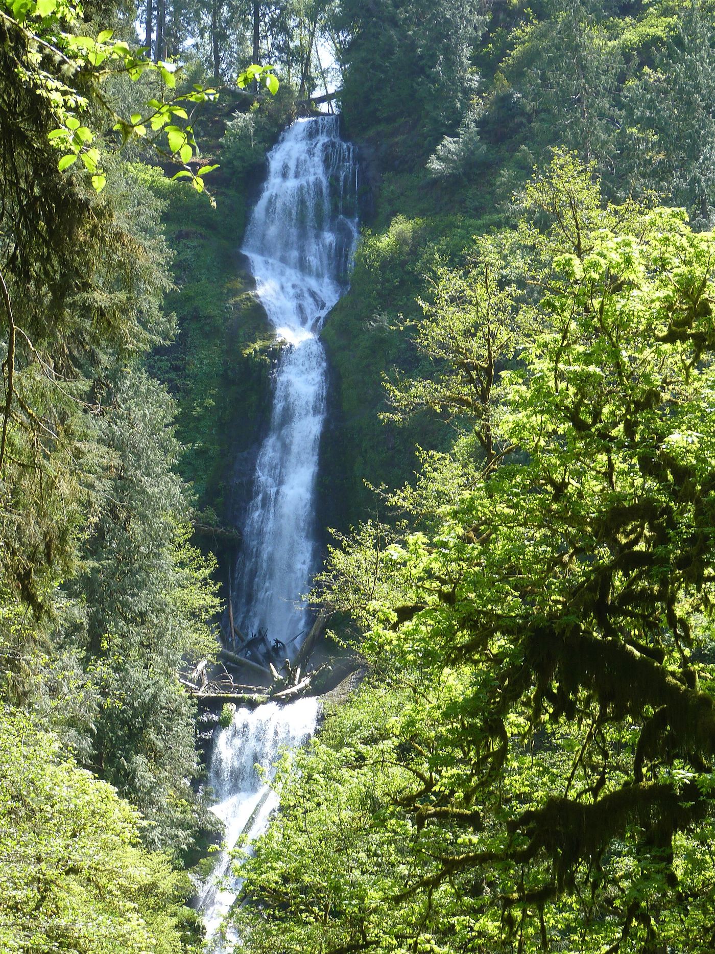
Location map; no photo available.
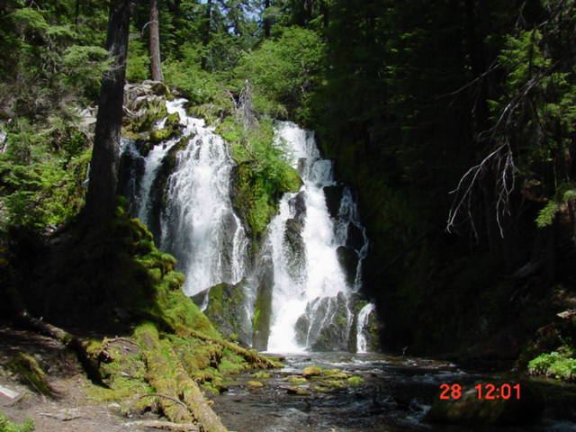
Ski-area and Timberline Trail loop; summer only

Oregon

Pencil Falls

On an 8.6-mile loop; no separate distance to the falls is given

Pencil Falls is a small, glacier-fed waterfall on a headstream of the East Fork Hood River, just below the Timberline Trail in the Mt. Hood Meadows ski area. Oregon Hikers describes a loop from the main lodge: the Bear Grass and Jack's Woods trails climb through the ski area to the Timberline Trail; turn left and follow the Timberline Trail across the ski area. After the Lower Wizard Way junction and several stream crossings, the trail passes just above Pencil Falls; a vague scramble path leads down for a good view. The loop continues across Mitchell Creek and returns to the lodge on the Umbrella Falls and Bear Grass trails.

Location map; no photo available.

Route and parking documented; distance unknown.

Oregon

Pheasant Creek Falls

Distance unknown

The USFS names both waterfalls on this streamside forest trail.

Location map; no photo available.

Public access not established

Oregon

Pringle Falls

No public approach

The specialist waterfall database identifies private property along both banks and says the falls cannot be seen from the road. The nearby campground is not a documented walking route to these falls.

Location map; no photo available.

Oregon

Rainbow Falls

Distance not stated

Follow the old road south toward Three Sisters Wilderness, then the trail east to the undeveloped canyon viewpoint of Rainbow Falls.

Location map; no photo available.

Established BLM trail along the Rogue River

Oregon

Rainie Falls

BLM gives the Rainie Falls Trail as 1.8 miles long

Rainie Falls is a large rapid with a drop of about 6 to 10 feet on the wild section of the Rogue National Wild and Scenic River. From Grants Pass, take I-5 to Exit 61 at Merlin and follow the Merlin-Galice Road northwest for 23 miles to Grave Creek. The Rainie Falls Trail runs downstream on the opposite side of the river from the Rogue River National Recreation Trail, through oak and madrone, to the falls. A little over a mile along, look for the remains of a 1908 suspension bridge abutment. Return the same way.

Location map; no photo available.

Unmaintained wilderness trail to a frontal view of the falls

Oregon

Red Blanket Falls

No falls-only distance; the full hike to Stuart Falls is 8.9 miles round trip

Red Blanket Falls plunges 50 feet down a basalt face on Red Blanket Creek in the Sky Lakes Wilderness, just south of Crater Lake National Park. The Red Blanket Trail follows the park's southern boundary up the creek, but it is no longer maintained. After crossing several washed-out gullies and passing glimpses of Lower and Middle Red Blanket Falls, the trail reaches a frontal view of Red Blanket Falls, shortly before the junction with the Red Blanket Falls Trail. Return the same way.

Location map; no photo available.

Upper Rogue River Trail hike; downed trees possible

Oregon

Rough Rider Falls

About 5.5 trail miles from the trailhead

Rough Rider Falls carries the full upper Rogue River about 30 feet into a mossy glen. From the Mount Mazama Viewpoint parking area on OR 230, the Upper Rogue River Trail leaves from the east end of the lot and follows the river downstream. Rough Rider Falls is the first waterfall you reach going downstream, and a sign on a tree marks it by name. The trail passes above the falls; a short, steep scramble path leads down to the base. Return the same way, or continue downstream to Hamaker Meadows with a car shuttle. A wildfire burned this section, and fallen trees have clogged the trail near the falls; Oregon Hikers suggests checking trail status with the High Cascades Ranger District in Prospect.

Location map; no photo available.

Researched route and starting area

Oregon

Sahalie Falls

Roadside view; walking distance unknown.

This is the Mount Hood Sahalie Falls roadside viewpoint, not the McKenzie River waterfall of the same name.

Location map; no photo available.

Closed for 2026; approach not verified

Oregon

Salmon Creek Falls

Site closed

USFS marks the campground and day-use area closed for the 2026 season, with reopening planned for spring 2027.

Location map; no photo available.

Researched route and starting area

Oregon

Shadow Falls

Total distance unknown; final descent is 0.2 mile.

The forest trail ends at a view of the three-tiered waterfall on Cavitt Creek.

Location map; no photo available.

Roadside view from the Multnomah Falls I-84 parking lot

Oregon

Shady Creek Falls

Viewed from the parking lot; no walk needed

Shady Creek Falls is next to Multnomah Falls, on the small creek that the paved path crosses on the way to Multnomah Falls. It cannot be seen from the trails beside Multnomah Falls and is hidden by trees from south of the railroad tracks. The clearest view is from the Multnomah Falls parking lot between the lanes of I-84 (Exit 31). Visitors arriving on the Historic Columbia River Highway can walk through the underpass beneath the railroad and freeway into the rest area. Do not climb to the falls; the creek appears to supply water to Multnomah Falls Lodge.

Location map; no photo available.

Established cliffside trail to a trailside view

Oregon

Skoonichuk Falls

About 3.5 miles one way to Tenas Camp beside the falls

Skoonichuk Falls drops about 48 feet in two tiers on Eagle Creek below a 400-foot cliff. From the Eagle Creek Trailhead, follow the Eagle Creek Trail up the canyon past the Punch Bowl Falls overlook to the High Bridge. After crossing the High Bridge, the trail runs high above the creek with an open view of Skoonichuk Falls, then reaches Tenas Camp. Return the same way. The Forest Service discourages leaving the trail; the side paths toward the base and top of the falls are rough user routes.

Location map; no photo available.

Wilderness trail to the base of the slides

Oregon

Slick Rock Creek Falls

5.7 miles round trip to Slick Rock Creek, per the City of Joseph

The Hurricane Creek Trail passes the base of a long series of slides and cascades on Slick Rock Creek in the Eagle Cap Wilderness. From the Hurricane Creek Trailhead, fill out the free wilderness permit and follow the Hurricane Creek Trail #1807 up the valley, past the Falls Creek junction and the Falls Creek crossing, through an avalanche area and open stretches with more creek crossings. As the trail approaches Slick Rock Creek it climbs a steep hillside above Hurricane Creek. A visitor account describes viewing Slick Rock Falls from the far side of Slick Rock Creek. Return the same way.

Location map; no photo available.

Distant trail view of the lower tier documented

Oregon

Sorenson Falls

Distance to the viewpoint not stated; the Punch Bowl Falls hike is 4.2 miles round trip

Sorenson Falls drops about 100 feet off the east rim of the Eagle Creek gorge beside Metlako Falls. Hike the Eagle Creek Trail upstream past two cliff sections with cable handrails. After walking between two large Douglas-firs, look up the gorge to see the lower horsetail of Sorenson Falls, with Metlako Falls just beyond. Do not try to reach the base. Return the same way.

Location map; no photo available.

Paved rim view and short loop behind the falls

Oregon

South Falls

0.4 mile on foot from the trailhead; the South Falls Loop is 1.6 miles

South Falls is the 177-foot centerpiece of Silver Falls State Park. From the main South Falls parking area, walk past the restrooms and the South Falls Lodge. Paved paths on the rim lead to the South Falls Viewpoint. For the loop, take the Canyon Trail down by switchbacks with views of the falls, cross the footbridge over the South Fork Silver Creek, then climb steps on the west side into the grotto behind the falls and back up to the rim. Visitors who do not want to go into the canyon can see the falls from the upper paved loop.

Location map; no photo available.

Route and parking documented; confirm current conditions.

Oregon

Spirit Falls

0.3 mile one way; approximately 0.6 mile return

A forest trail descends to a waterfall and shallow pool in the Layng Creek municipal watershed.

Location map; no photo available.

Wilderness river trail to a cliff viewpoint across from the falls

Oregon

Stair Creek Falls

Trail log positions only: Marial Trailhead at mile 24.4 and Inspiration Point at mile 25.2 from Grave Creek

Stair Creek Falls is a two-tier waterfall that drops about 35 feet straight into the Rogue River from the south bank, in the Wild Rogue Wilderness. It is seen across the river from Inspiration Point on the Rogue River Trail, which follows the north bank. At Inspiration Point the trail runs on a narrow ledge high on the cliff above Mule Creek Canyon and the Coffeepot rapid. The nearest trailhead is Marial, at the end of Marial Road; from there the trail heads west into the wilderness. Return the same way. The full Rogue River Trail runs from Grave Creek to Big Bend near Foster Bar and is often hiked as a multi-day trip.

Location map; no photo available.

Partial guide: roadside view from Cloud Cap Road; the exact viewing spot is not described

Oregon

Stranahan Falls

Roadside view; no walk

Stranahan Falls is the major falls of the Eliot Branch of the Middle Fork Hood River, dropping about 282 feet into the canyon below Inspiration Point and Cloud Cap Inn. A visitor account says an impressive falls can be seen plunging into the canyon below on the drive up to Cloud Cap Inn, and identifies it as Stranahan Falls. The Northwest Waterfall Survey notes a sign along Cloud Cap Road in the Inspiration Point area that labels the view as Wallalute Falls, a name the survey says belongs to a different falls in the next canyon west. Cloud Cap Road leaves Cooper Spur Road and climbs as gravel for 8.8 miles past Inspiration Point. The exact pullout for the view is not described. The base of the falls has no trail; reaching it would take miles of difficult off-trail travel.

Location map; no photo available.

Route and parking researched

Oregon

Strawberry Falls

Waterfall-only total not established

From Strawberry Campground, follow the basin trail to Strawberry Lake and continue about another mile uphill to Strawberry Falls. Turn back at the falls; the Little Strawberry Lake extension is a separate, longer trip.

Location map; no photo available.

Unmaintained wilderness trail to a camp at the falls

Oregon

Stuart Falls

8.9 miles round trip

Stuart Falls is a 40-foot veil waterfall on the North Fork of Red Blanket Creek in the Sky Lakes Wilderness, just south of Crater Lake National Park. From the Red Blanket Trailhead, follow the unmaintained Red Blanket Trail up Red Blanket Creek past Red Blanket Falls. At the junction with the Red Blanket Falls Trail, keep left to turn up the North Fork, and keep left on the Stuart Falls Trail at the next junction. At a sign for a stock holding area, take the spur to the right to Stuart Falls Camp, where the falls splash down a rock face. Return the same way.

Location map; no photo available.

Partial guide: roadside falls behind a road closed to motor vehicles

Oregon

Sullivan Creek Falls

Roadside view; walking distance from where vehicles must stop is not established

Sullivan Creek Falls cascades well over 100 feet down to a pool right beside Forest Road 2207 above the Little North Santiam canyon. Road 2207 is closed to motor vehicles under a Willamette National Forest fire closure order, so the roadside parking area cannot be driven to. When the road reopens, the falls are about two miles past the upper Little North Santiam trailhead on Road 2207, with parking for four or five cars across the road.

Location map; no photo available.

Easy BLM trail to the falls

Oregon

Susan Creek Falls

0.8 miles one way per the BLM; 1.6 miles round trip per Oregon Hikers

Susan Creek Falls is a fan-shaped falls of about 35 to 50 feet on Susan Creek, on BLM land along the North Umpqua River. Park at the Susan Creek Day-Use Area; the trail begins across Highway 138. The wide trail climbs gradually through mixed forest, joins an old roadbed, passes under powerlines, and drops into the creek bottom to a junction. There is a viewpoint on the east side of the creek, but the best view is from the west side, across a footbridge. A picnic table sits below the footbridge. Return the same way.

Location map; no photo available.

Long trail to a bridge-side view documented

Oregon

Tenas Falls

About four miles to the bridge

Tenas Falls is a small two-part falls where a side creek steps down into Eagle Creek just above Four and a Half Mile Bridge. Hike the Eagle Creek Trail upstream past Punch Bowl Falls, across High Bridge and past Tenas Camp to Four and a Half Mile Bridge, the second crossing of Eagle Creek. The falls are visible across the creek from the bridge area. Return the same way.

Location map; no photo available.

Partial guide: informal paths past Chush Falls; current trailhead location not confirmed

Oregon

The Cascades

About a quarter mile, or 10 minutes, past Chush Falls on informal paths; the trailhead has been moved since older directions were written

The Cascades is a nearly sheer 26-foot drop on Whychus Creek just above its confluence with Park Creek, upstream of Chush Falls, just inside the Three Sisters Wilderness south of Sisters. The Chush Falls trail ends at a canyon-rim viewpoint of Chush Falls. Beyond it there is no maintained trail; informal paths continue upstream, and the next falls at the Park Creek confluence is about 10 minutes on. Stay within earshot of the creek, because many footpaths branch in this area. After the Pole Creek Fire, the Forest Service closed part of the old access road and moved the trailhead, so older driving directions to the end of road 1514-600 are out of date. The current trailhead location is not described in detail by these sources.

Location map; no photo available.

Parking location unconfirmed

Oregon

Triple Falls

1.7 miles each way

Reach the Triple Falls viewpoint by hiking Oneonta Trail 424. Oneonta Gorge is a separate route and is closed.

Location map; no photo available.

Gravel park trail to a footbridge below the falls

Oregon

Tumble Creek Falls

No separate distance to the falls is published; the out-and-back to the end of the Tumble Falls Trail is 1.5 miles

Tumble Creek cascades down through the forest understory to a long footbridge on the Tumble Falls Trail in Metro's Newell Creek Canyon Nature Park in Oregon City. From the parking area at 485 Warner Milne Road, walk past the picnic area to the powerline corridor and around the gate onto the gravel Tumble Falls Trail. Descend past the junctions with the bike-only Shady Lane trail, stay on the wide gravel trail past the Canyon Spring Loop junction, cross a large footbridge, and continue to the long footbridge below Tumble Falls. Return the same way, uphill.

Location map; no photo available.

Forest trail to the lake outlet at the top of the falls

Oregon

Tumble Falls

4.0 miles round trip to Tumble Lake, plus a short faint path to the outlet

Tumble Falls is where Tumble Creek pours over a cliff from the outlet of Tumble Lake, high above Detroit Lake. From the Tumble Lake Trailhead, climb a short embankment and walk east along the ridge about half a mile to the Tumble Ridge-Tumble Lake Trail Junction. Turn right and descend forested switchbacks, a short scramble down a rocky stream bed, and two steep meadows to the lake. Follow a faint user trail south and along the outlet stream to mossy rock ledges, where the water disappears over the cliff edge. This view is from the top of the falls; the sources do not describe a view of the full drop. Return the same way, climbing back to the ridge.

Location map; no photo available.

State park trail to a side view of the falls

Oregon

Twin Falls

Half a mile to the Canyon Trail junction, then about a third of a mile

Twin Falls drops about 31 feet on the North Fork Silver Creek, often split in two by a large block of rock. From the Winter Falls Trailhead, take the Winter Trail down past Winter Falls to the bridge over the North Fork and the Canyon Trail junction. Turn right (upstream) on the Canyon Trail. A short loop off the trail leads to a side view of the falls. Trees hem in most views, and in dry summers only one channel flows and can be hard to see. Return the same way.

Location map; no photo available.

Long gorge trail with cable-railed cliff sections to the falls

Oregon

Twister Falls

About 6.2 miles on foot from the trailhead

Twister Falls is a 135-foot, three-part waterfall on the West Fork of Eagle Creek, the last major falls along the Eagle Creek Trail in the Columbia River Gorge. From the Eagle Creek Trailhead, follow the gently graded trail up the canyon past Punch Bowl Falls, High Bridge, Four and a Half Mile Bridge and Wy'East Camp to Tunnel Falls, where the trail passes through a tunnel behind the falls. Beyond Tunnel Falls, a cable-railed cliff section gives a view of the lowest tier, then the trail reaches the top of Twister Falls. Return the same way. There are no railings at the top of the falls.

Location map; no photo available.

Short route and trailhead parking verified

Oregon

Umbrella Falls

About 0.5 mile return

From the Forest Road 3555 trailhead, follow Trail 667 north for 0.25 mile to Umbrella Falls and return. Shoulder parking is limited.

Location map; no photo available.

State forest trail to the falls documented

Oregon

University Falls

About a third of a mile; 0.7 mile round trip

University Falls is a 60-foot falls on Elliott Creek. From the trailhead, take the eroded path up from the left side (not the Powerline Motorcycle Trail just to the west). Cross the ATV track two times, drop across a gully under power lines, and enter forest. Keep straight past the Gravelle Brothers Trail junction to a campsite, then bear left past an old painted sign to the falls.

Location map; no photo available.

Partial guide: final approach is an unmaintained user trail with no measured distance

Oregon

Upper Chush Falls

About 5.2 miles round trip to Chush Falls, plus an unmeasured user trail

Upper Chush Falls drops about 225 feet in three steps. Hike the old road bed and then the Chush Falls Trail into the Three Sisters Wilderness to the Chush Falls viewpoint. To the left, an unmaintained user trail climbs along the canyon edge to The Cascades, a 25-foot drop. Squeeze along above the creek, take the left branch where the path splits, and climb a rocky draw through alder to views of Upper Chush Falls.

Location map; no photo available.

Timberline Trail loop crossing above the falls

Oregon

Upper Heather Canyon Falls

9.4-mile loop

Upper Heather Canyon Falls is the top of a series of waterfalls in Heather Canyon, where the Timberline Trail crosses Heather Creek just east of the Mount Hood Meadows ski area on Mount Hood. On the Clark Creek Loop, start on the Elk Meadows Trail, keep straight at the Umbrella Falls Trail junction, cross Clark Creek on a footbridge into the Mount Hood Wilderness, and turn left on the Newton Creek Trail for a two-mile climb. Turn left on the Timberline Trail, descend a big moraine, pick your way across glacial Clark Creek, and climb to the open slope on Heather Creek with its three cascading waterfalls. The trail crosses Heather Creek above the upper falls. Continue the loop on the Jack's Woods, Bear Grass and Umbrella Falls trails back to the trailhead, or return the way you came.

Location map; no photo available.

Forest trail to a viewpoint and the base documented

Oregon

Upper Kentucky Falls

About 0.5 mile to the viewpoint; about a mile to the base

Upper Kentucky Falls drops 88 to 100 feet in two steps on Kentucky Creek. From the trailhead, cross the road and follow the Kentucky Falls Trail downhill to a viewpoint over the upper drops. The trail then switchbacks down past the falls; at the fourth switchback you can scramble over rocks and downed trees to the base. Return the same way.

Location map; no photo available.

State park loop trail to the base of the upper falls

Oregon

Upper Latourell Falls

A little over 3/4 mile one way (Northwest Waterfall Survey); the loop is 2.4 miles

Upper Latourell Falls is a 120-foot, two-tiered fall on Latourell Creek in the George W. Joseph State Natural Area. From the Latourell Falls Trailhead, climb the 60 steps to the Latourell Falls Viewpoint, then follow the natural-surface trail up by switchbacks above the lip of Latourell Falls and along the creek over four small bridges. The trail crosses Latourell Creek on a metal footbridge at the base of the upper falls. Return the same way, or continue down the west side of the creek to complete the loop back to the highway and trailhead.

Location map; no photo available.

Signed state park trail to the base documented

Oregon

Upper North Falls

About one-third mile from the footbridge

Upper North Falls is a 65-foot curtain falls on North Silver Creek, the only falls in the park upstream of Highway 214. From the North Falls parking lot, cross the footbridge and bear right at the signed junction. Follow the trail upstream to the pool at the base of the falls. Return the same way.

Location map; no photo available.

Forest trail loop passing behind the falls

Oregon

Upper Trestle Creek Falls

About 1.5 miles to the trail behind the falls; the full loop is 3.7 miles

Upper Trestle Creek Falls is a 65-foot tiered waterfall with a trail passing behind the highest tier, above Brice Creek. From the Champion Creek Trailhead, cross the road bridge over Brice Creek. Just past the bridge, pass Trail #1403 on the left and continue about 100 feet to Trail #1403D. Climb on #1403D; Trestle Creek comes into view after about 1.25 miles, and at about 1.5 miles the trail goes behind Upper Trestle Creek Falls. The trail then descends to Trail #1403. Turn left and follow Brice Creek back to the trailhead, with an optional 0.6-mile out-and-back side trip on Trail #1403C to Trestle Creek Falls.

Location map; no photo available.

Forest trail to a partly obscured viewpoint documented

Oregon

Upper Tumalo Falls

Distance to this viewpoint not stated; the full loop is 7 miles

Upper Tumalo Falls, also called Middle Tumalo Falls, is a 43-foot plunge on Tumalo Creek. From the parking lot, pass the Tumalo Falls viewpoint and climb the North Fork Trail past the overlook at the top of Tumalo Falls and two viewpoints of Double Falls. Continue up beside the creek to a side viewpoint of this falls, partly blocked by trees. Return the same way. Do not scramble down the steep slope.

Location map; no photo available.

Partial guide: private hotel grounds; visitor access and parking rules not confirmed by the hotel

Oregon

Wah Gwin Gwin Falls

Short garden walk; distance not stated

Wah Gwin Gwin Falls drops from Phelps Creek on the grounds of the Columbia Gorge Hotel down toward the Columbia River. Follow the garden paths on the east side of the hotel to overlooks above the falls. The land is private hotel property; be courteous and expect possible limits during private events.

Location map; no photo available.

Partial guide: user paths and a steep scramble; not an official trail

Oregon

Wallowa Falls

1.0-mile loop

Wallowa Falls is a 30-foot, two-tier chute in the narrow gorge of the West Fork Wallowa River above Wallowa Lake. It is not on an official trail; the route uses user paths and a steep scramble. From the upper end of the trailhead parking area, go past a green gate on a gravel maintenance track through the hike-in campground to its end, then follow a path to the river. Head upstream along the cobble bars to where the river hugs a cliff, and look left for a steep scramble trail up. It climbs above the gorge to a viewpoint over the falls. Continue up the slope, keep right at a junction to more viewpoints, then scramble up to the West Fork Wallowa River-Chief Joseph Mountain Trail junction and bear left to descend to the trailhead. The nearby hydroelectric project on the East Fork is also called Wallowa Falls.

Location map; no photo available.

Oregon

Warm Springs Falls

About 0.6 mile round trip

Follow the short forest trail from the signed roadside turnout to the Warm Springs Falls viewing platform. Southern Oregon tourism states that no trail reaches the base.

Location map; no photo available.

Canyon trail hike to a small creek waterfall

Oregon

Whychus Creek Falls

3.5 miles round trip

This listing sits at the point Oregon Hikers gives for Logjam Falls, a small waterfall where logs have jammed between large boulders on Whychus Creek, in the canyon below the Whychus Creek Overlook. From the Whychus Creek Trailhead, the trail winds down through manzanita and bitterbrush under ponderosa pines, passes the sign for the Wild and Scenic River section, and drops to creek level at rock overhangs. It then rises to a higher bench at the edge of a burned area, drops over the rim, switchbacks below a colorful cliff face, and heads up the creek to the falls. The best view is from a large boulder just downstream of the falls. Return the same way.

Location map; no photo available.

Established trail from Footbridge Trailhead; distance to the falls not given

Oregon

Wilson Falls

Out-and-back trail walk; the distance from the Footbridge Trailhead to the falls is not given

Wilson Falls is a long, narrow, multi-tiered seasonal waterfall, about 200 feet high, on an unnamed creek that splashes across the Wilson River Trail. From the Footbridge Trailhead, walk up the gravel path and south along Highway 6 behind a fence to stone steps that lead down to the footbridge over the Wilson River Narrows. Cross, go over a rocky knoll and an overflow channel to the Wilson River Trail, and turn toward Jones Creek. The trail crosses the small creek at the base of Wilson Falls high above the river. A sign marks the falls. The full height cannot be seen from the trail. Return the same way.

Location map; no photo available.

Source-reviewed route and parking

Oregon

Wolf Creek Falls

1.2-mile trail to the falls

BLM describes a forest trail through old growth to the two-tier Wolf Creek Falls. Start at the arched footbridge on Little River Road.

Location map; no photo available.

Established trail route and trailhead documented; long cliffside hike

Oregon

Wy'east Falls

About 4.7 miles one way to Wy'East Camp, per Oregon Hikers

Wy'East Falls is a tall, seasonal ribbon of water on Wy'East Creek, a small tributary of Eagle Creek in the Columbia River Gorge. Follow the Eagle Creek Trail upstream from the Eagle Creek Trailhead, past High Bridge, Tenas Camp and Four and a Half Mile Bridge, to Wy'East Camp. Just past the camp the trail enters the Mark O. Hatfield Wilderness and crosses Wy'East Creek; the falls are visible upstream. Oregon Hikers says a short scramble up the creek gives a better view. Return the same way.

Location map; no photo available.

Partial guide: named trail approach verified; parking and distance unknown.

Oregon

Yakso Falls

Distance unknown

Yakso Falls drops over a rock cliff on Little River.

Location map; no photo available.

Partial guide: final approach is an unmaintained user path

Oregon

Yocum Falls

About 1.6 miles round trip (Wikipedia figure); final descent is a user path

Yocum Falls is a series of cascades on Camp Creek in Mount Hood National Forest. From the Laurel Hill pullout, a stone stairway climbs to the old Mount Hood Highway, and the Laurel Hill Chute trail continues to an Oregon Trail marker. A hiker's trip report on Oregon Hikers describes walking down the old highway: at its last switchback the falls can be heard, and a small user trail leads down to the base. This is an informal user trail, and the report mentions scrambling back up from the falls. The upper tier and its lower drop are reachable; the middle section is hard to reach because of thick timber.

Location map; no photo available.

Partial guide: distant view from the Muddy Fork; name match to this listing is probable

Oregon

Yocum Ridge Falls

5.4 miles round trip to the Muddy Fork viewpoint

This listing is on the north side of Yocum Ridge on Mount Hood. The WyEast Blog describes a trio of unnamed seasonal waterfalls that fall from a cirque on the northern shoulder of Yocum Ridge into the Muddy Fork canyon, and calls them the Yocum Ridge Waterfalls. That they are the same feature as this listing is probable but not confirmed by a source with coordinates. From Top Spur Trailhead, climb 0.4 mile to the Pacific Crest Trail, turn right, then right again at the four-way junction onto the Timberline Trail toward the Muddy Fork. Pass the Bald Mountain junctions and descend gradually to the Muddy Fork. The blog recommends viewing the falls from the boulders on the old debris flow at the crossing. Return the same way.

Location map; no photo available.

Choose another state All mapped waterfalls in Oregon