Niagara Falls
Yamhill County, Oregon
Your visit at a glance
- Waterfall height
- 135 ft (41 m)
- Location
- Yamhill County, Oregon
- The walk
- Streamside hike to two waterfalls
- Ground & access
- Natural-surface trail with four wooden bridges.
Follow the stream and cross four wooden bridges to views of Niagara Falls and Pheasant Creek Falls.
Plan your visit
Niagara Falls Trail #1379
The official page gives driving distances, not a measured waterfall hike. Do not treat its 0.7-mile road segment as trail length.
Natural-surface trail with four wooden bridges.
Where to start
The official approach uses Upper Nestucca River Road, FR 8533 and FR 8533-131 to trailhead parking. Check road status before travel.
Timing & water
The Forest Service highlights spring flowers and waterfall viewing; current road conditions can affect access.
Before you go
Fees, permits and reservation requirements for this visit have not been confirmed; check with the land manager.
Visitor informationVisit sources
More waterfalls nearby
Within 40 straight-line miles. Road and trail distances will differ.
- Pheasant Creek FallsRoute and parking documented; distance unknown.125 ft (38 m) · Yamhill County, OR0.1 miSW
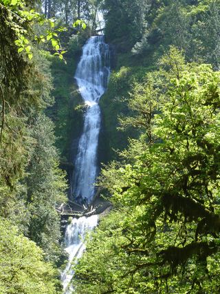 Munson Creek FallsResearched visit notes319 ft (97.2 m) · Tillamook County, OR13 miNW
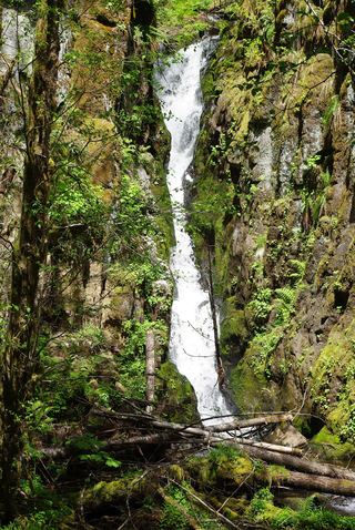 Ki-a-Kuts FallsPartial: historical off-trail route documented; current logging-road permission and access unverifiedWashington County, OR21 miNE
- Drift Creek FallsResearched visit notes75 ft (23 m) · Lincoln County, OR22 miSW
- Haines FallsWashington County, OR23 miNE
- Lee FallsPartial guide: legal parking for the road walk not confirmedWashington County, OR24 miNE
- Little Lee FallsPartial guide: no legal parking near the gate is identifiedWashington County, OR24 miNE
- Bridge Creek FallsShort stone staircase from the highway to the baseTillamook County, OR25 miN
- Wilson FallsEstablished trail from Footbridge Trailhead; distance to the falls not given200 ft (61 m) · Tillamook County, OR25 miN