Ki-a-Kuts Falls
Washington County, Oregon
Your visit at a glance
- Waterfall height
- Not recorded
- Location
- Washington County, Oregon
- Access status
- Partial: historical off-trail route documented; current logging-road permission and access unverified
- The walk
- Return route; waterfall-only distance unknown
- Ground & access
- Old logging road, faint paths, a slide crossing, steep riverbank and log jams. There is no established trail to the falls. The upper promontory allows hearing the waterfall but not seeing it.
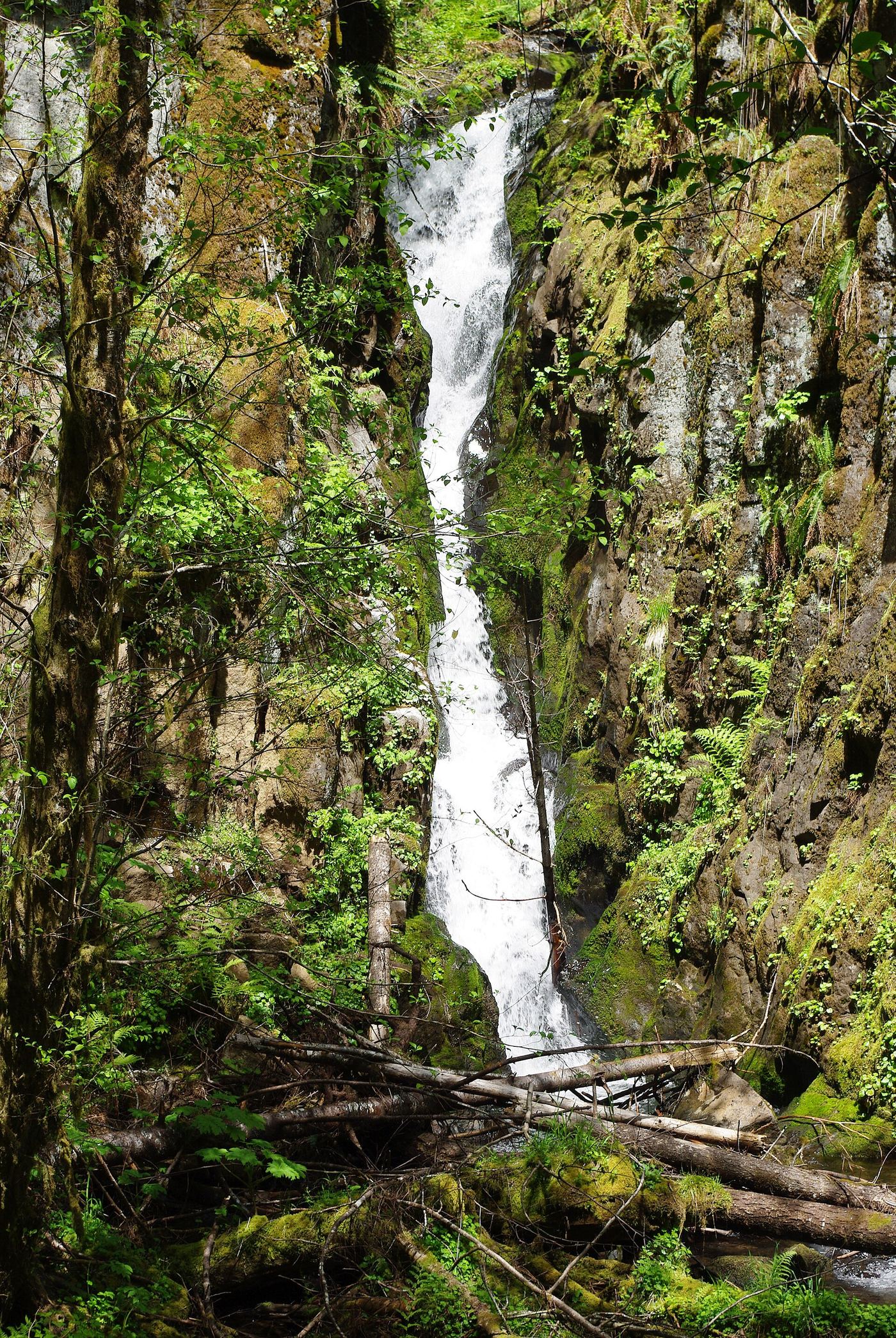
Oregon Hikers documents an off-trail approach from Maple Creek Road via an old logging road, a slide and a steep riverbank with log jams. Its route page was last edited April 2, 2022. This is historical route information, not confirmation that the private logging-road approach is currently permitted or passable. Confirm the permitted approach with ODF before planning a visit.
Plan your visit
Historical Maple Creek Road approach; current permitted access unverified
Oregon Hikers' 2.8 miles return includes the Tualatin River–Maple Creek confluence extension. It is not assigned to this waterfall-only turnaround.
Old logging road, faint paths, a slide crossing, steep riverbank and log jams. There is no established trail to the falls. The upper promontory allows hearing the waterfall but not seeing it.
Where to start
The 2022 firsthand guide identifies a pullout on Maple Creek Road reached via Sunday Creek Road and Barney Reservoir. Current permission to reach or use that pullout is unverified; do not treat it as a confirmed visitor parking location.
Timing & water
Travel Oregon warns of remote conditions, unreliable cell service and private logging roads. Oregon Hikers recommends weekends to avoid active logging; this is not confirmation that every gate is currently open.
Before you go
No current fee or permit requirement was verified. Private logging-road access and closures need confirmation with ODF.
Visitor informationMore waterfalls nearby
Within 40 straight-line miles. Road and trail distances will differ.
- Haines FallsWashington County, OR3.3 miE
- Lee FallsPartial guide: legal parking for the road walk not confirmedWashington County, OR5.0 miE
- Little Lee FallsPartial guide: no legal parking near the gate is identifiedWashington County, OR6.1 miE
- University FallsState forest trail to the falls documentedTillamook County, OR9.2 miN
- Fern Rock FallsRoadside turnout view documentedTillamook County, OR10 miN
- Stafford Falls98 ft (30 m) · Tillamook County, OR11 miN
- Wilson FallsEstablished trail from Footbridge Trailhead; distance to the falls not given200 ft (61 m) · Tillamook County, OR11 miNW
- Bridge Creek FallsShort stone staircase from the highway to the baseTillamook County, OR12 miNW
- Kilchis FallsPartial guide: roadside falls on rough unmarked forest roads; no parking area describedTillamook County, OR16 miNW