Twister Falls
Hood River County, Oregon
Your visit at a glance
- Waterfall height
- 148 ft (45.1 m)
- Location
- Hood River County, Oregon
- Access status
- Long gorge trail with cable-railed cliff sections to the falls
- The walk
- About 6.2 miles on foot from the trailhead
- Ground & access
- Long trail blasted into basalt cliffs in places, with six cable-railed sections above vertical drops. Burned forest in the lower canyon. The scramble to the base is steep, loose rock.
Twister Falls is a 135-foot, three-part waterfall on the West Fork of Eagle Creek, the last major falls along the Eagle Creek Trail in the Columbia River Gorge. From the Eagle Creek Trailhead, follow the gently graded trail up the canyon past Punch Bowl Falls, High Bridge, Four and a Half Mile Bridge and Wy'East Camp to Tunnel Falls, where the trail passes through a tunnel behind the falls. Beyond Tunnel Falls, a cable-railed cliff section gives a view of the lowest tier, then the trail reaches the top of Twister Falls. Return the same way. There are no railings at the top of the falls.
Plan your visit
Eagle Creek Trailhead (I-84 Exit 41) up the Eagle Creek Trail past Tunnel Falls to Twister Falls
Oregon Hikers places Twister Falls 6.2 miles on foot from the Eagle Creek Trailhead; the Northwest Waterfall Survey says just under 6 1/4 miles. These are one-way figures.
Long trail blasted into basalt cliffs in places, with six cable-railed sections above vertical drops. Burned forest in the lower canyon. The scramble to the base is steep, loose rock.
Where to start
Eagle Creek Trailhead at the end of the road from I-84 Exit 41. There is no westbound exit; westbound drivers continue to the Bonneville Dam exit and double back. The lot fills early; the Eagle Creek Day Use Trailhead is the overflow.
Timing & water
No seasonal closure is mentioned. Overnight camping is allowed only above High Bridge.
Before you go
Northwest Forest Pass required; a drop box at the trailhead sells day passes.
Visitor informationVisit sources
- Oregon Hikers Field Guide: Twister Falls
- Northwest Waterfall Survey: Twister Falls
- Northwest Waterfall Survey: Twister Falls
- Oregon Hikers Field Guide: Eagle Creek to Tunnel Falls Hike
- Oregon Hikers Field Guide: Eagle Creek to Tunnel Falls Hike
- Oregon Hikers Field Guide: Eagle Creek Trailhead
- Oregon Hikers Field Guide: Eagle Creek Trailhead
More waterfalls nearby
Within 40 straight-line miles. Road and trail distances will differ.
- Grand Union FallsLong canyon trail with a tree-filtered view of the falls41 ft (12.5 m) · Hood River County, OR0.2 miNW
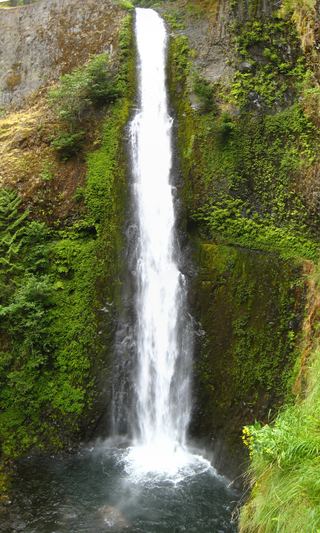 Tunnel FallsLong established cliffside trail; walk behind the falls172 ft (52.4 m) · Hood River County, OR0.2 miN
- Wy'east FallsEstablished trail route and trailhead documented; long cliffside hike157 ft (47.8 m) · Hood River County, OR0.9 miNW
- Tenas FallsLong trail to a bridge-side view documented18 ft (5.5 m) · Hood River County, OR1.7 miNW
- Four Mile Falls95 ft (28.9 m) · Hood River County, OR1.9 miNW
- Skoonichuk FallsEstablished cliffside trail to a trailside view48 ft (14.6 m) · Hood River County, OR2.1 miNW
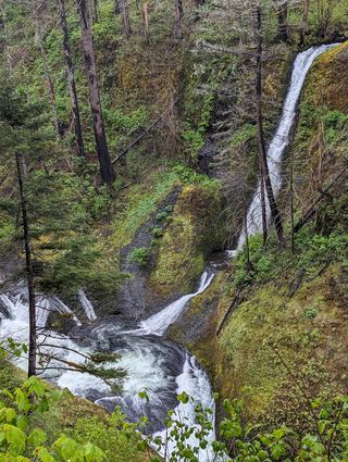 Loowit FallsEstablished cliffside trail to a viewpoint across the canyon78 ft (23.8 m) · Hood River County, OR2.4 miNW
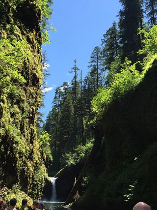 Punch Bowl FallsResearched visit notes36 ft (11 m) · Hood River County, OR3.4 miNW
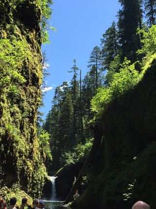 Lower Punch Bowl FallsCanyon trail and spur to the shoreline beside the falls12 ft (3.7 m) · Hood River County, OR3.5 miNW