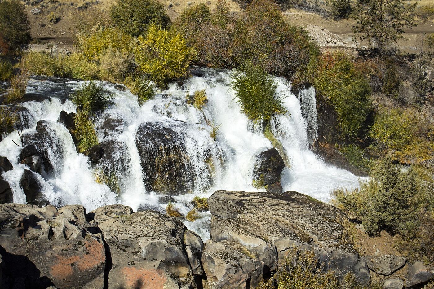
Waterfalls near Redmond, OR
18 named waterfalls within 30 miles of Redmond, closest first. Distances are straight-line from the town center.
Visits with route details
Read the walking route, starting point and current access notes.
- Cline FallsShort riverside trail from the state scenic viewpoint to BLM land at the fallsDeschutes County, OR
 Cline FallsSource-reviewed route and parking20 ft (6.1 m) · Deschutes County, OR
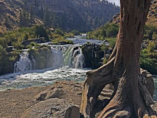 Steelhead FallsShort BLM trail into the Deschutes canyonJefferson County, OR
- Dry FallsPartial guide: the dry falls on the trail are a probable match to this listing; the distance to the spur is not publishedJefferson County, OR
- Whychus Creek FallsCanyon trail hike to a small creek waterfallDeschutes County, OR
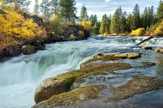 Dillon FallsResearched visit notesDeschutes County, OR
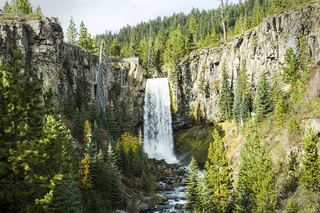 Tumalo FallsResearched visit notes89 ft (27.1 m) · Deschutes County, OR
- Double FallsForest trail past Tumalo Falls to cliff-top viewpointsDeschutes County, OR
- Upper Tumalo FallsForest trail to a partly obscured viewpoint documentedDeschutes County, OR
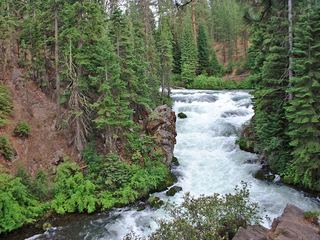 Benham FallsResearched visit notesDeschutes County, OR
- Chush FallsTrailhead parking and overlook approach documented; current conditions unverified67 ft (20.4 m) · Deschutes County, OR
- The CascadesPartial guide: informal paths past Chush Falls; current trailhead location not confirmedDeschutes County, OR
- Upper Chush FallsPartial guide: final approach is an unmaintained user trail with no measured distance223 ft (68 m) · Deschutes County, OR
Closest with a photo
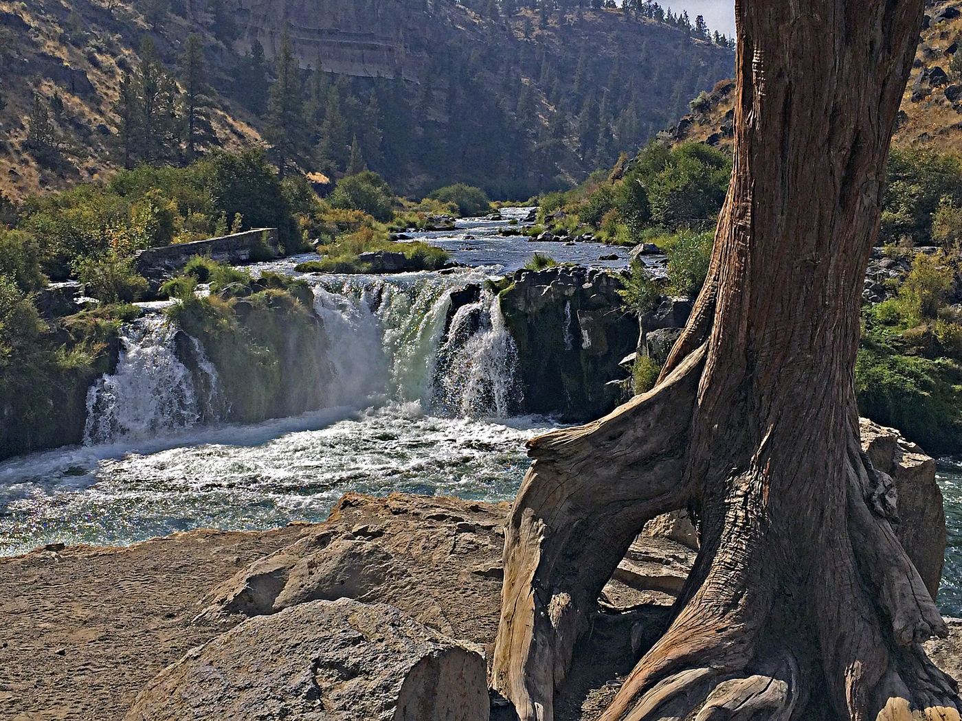
Photo credit
Photo: Maria Thi Mai; Bureau of Land Management Oregon and Washington, Public domain, via Wikimedia Commons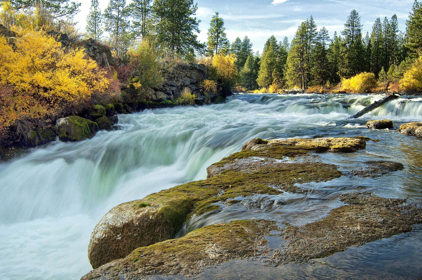
Photo credit
Photo: U.S. Forest Service- Pacific Northwest Region, Public domain, via Wikimedia CommonsAll 18 waterfalls
- Cline FallsShort riverside trail from the state scenic viewpoint to BLM land at the fallsDeschutes County, OR4.1 miW
- Cline FallsSource-reviewed route and parking20 ft (6.1 m) · Deschutes County, OR4.2 miW
- Awbrey FallsDeschutes County, OR8.1 miSW
- Big FallsDeschutes County, OR9.0 miNW
- Steelhead FallsShort BLM trail into the Deschutes canyonJefferson County, OR11 miNW
- Dry FallsPartial guide: the dry falls on the trail are a probable match to this listing; the distance to the spur is not publishedJefferson County, OR14 miNW
- Whychus Creek FallsCanyon trail hike to a small creek waterfallDeschutes County, OR21 miW
- Dillon FallsResearched visit notesDeschutes County, OR25 miSW
- Tumalo FallsResearched visit notes89 ft (27.1 m) · Deschutes County, OR26 miSW
- Double FallsForest trail past Tumalo Falls to cliff-top viewpointsDeschutes County, OR26 miSW
- Upper Tumalo FallsForest trail to a partly obscured viewpoint documentedDeschutes County, OR26 miSW
- Benham FallsResearched visit notesDeschutes County, OR26 miSW
- Chush FallsTrailhead parking and overlook approach documented; current conditions unverified67 ft (20.4 m) · Deschutes County, OR27 miW
- The CascadesPartial guide: informal paths past Chush Falls; current trailhead location not confirmedDeschutes County, OR27 miW
- Upper Chush FallsPartial guide: final approach is an unmaintained user trail with no measured distance223 ft (68 m) · Deschutes County, OR27 miW
- Columnar Canyon Falls125 ft (38.1 m) · Deschutes County, OR27 miW
- Howlaak Falls70 ft (21.3 m) · Deschutes County, OR27 miW
- Phoenix Falls110 ft (33.5 m) · Deschutes County, OR27 miW