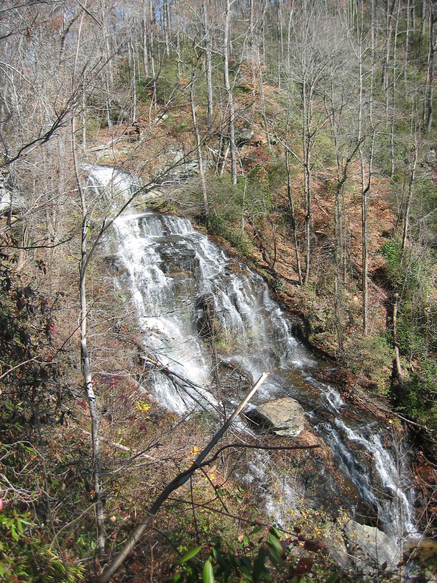
Waterfalls near Clemson, SC
257 named waterfalls within 30 miles of Clemson, closest first. Distances are straight-line from the town center.
Visits with route details
Read the walking route, starting point and current access notes.
- Meadow FallsForest trail and roadside trailhead documentedPickens County, SC
- Waldrop Stone FallsForest trail and designated trailhead documentedPickens County, SC
- Todd Creek FallsPartial guide: unmarked path and small roadside pull-offPickens County, SC
- Wildcat Creek FallsUniversity forest road walk to the falls documented; access road closed in winterPickens County, SC
- Fall Creek FallsPartial guide: boat access only; listing match probableOconee County, SC
- Chau Ram FallsCounty park with an accessible waterfall view near parkingOconee County, SC
- Lower Poe Creek FallsState park trail route and trailhead documentedPickens County, SC
- Poe Creek FallsPartial guide: name conflict; Waterfall Hero calls this point Upper Poe Creek FallsPickens County, SC
- Middle Poe Creek FallsState park trail route and trailhead documentedPickens County, SC
- Station Cove FallsResearched walking routeOconee County, SC
 Isaqueena FallsCity park trail to the viewing platform documented; vehicle feeOconee County, SC
- Jim Lee FallsPartial guide: unmarked cross-country route next to private landOconee County, SC
- Yellow Branch FallsResearched route and starting areaOconee County, SC
- Hidden FallsSigned state park trail and trailhead documentedOconee County, SC
 Riley Moore FallsResearched visit notes12 ft (3.6 m) · Oconee County, SC
- Disappearing FallsPartial guide: small falls beside the Hidden Falls Trail; the route source does not use this nameOconee County, SC
- Horse Bone FallsPartial guide: no trail; off-trail approach along or down to Horse Bone BranchOconee County, SC
- Blue Hole FallsParking location and current route condition unconfirmed8 ft (2.5 m) · Oconee County, SC
- Cedar Creek FallsPartial guide: informal side path from an old forest road; position matched by descriptionOconee County, SC
- Lee FallsPartial guide: no official trail; old fields and an unofficial creekside pathOconee County, SC
- Land Bridge FallsPartial guide: informal fishermen's paths; one sourceOconee County, SC
- Chauga NarrowsNational forest path route and parking documented; slippery rock at the endOconee County, SC
- Crane FallsPartial guide: no published distance; informal creek pathOconee County, SC
- Secret FallsPartial guide: final 300 yards are cross-country with no trail markingsOconee County, SC
- Cheohee Road FallsPartial guide: roadside falls; no parking describedOconee County, SC
- Crane Creek FallsPartial guide: off-trail bushwhack of about half a mile; no trailOconee County, SC
- Miuka FallsNational forest trail from SC 107 near Cherry HillOconee County, SC
- Twin FallsPartial guide: private nature preserve; the listing says hikers go at their own riskPickens County, SC
- Bee Cove FallsPartial guide: final approach off-trail; listing match probableOconee County, SC
- Yucca FallsPartial guide: off-trail bushwhack and steep scramble; parking and distance not givenPickens County, SC
- Pigpen FallsFoothills Trail and Chattooga Trail from Nicholson Ford RoadOconee County, SC
- Wright Creek FallsPartial guide: boat access only; lake route not publishedOconee County, SC
- Licklog FallsNational forest trail route and trailhead documentedOconee County, SC
- Ira Branch FallsPartial guide: no trail beyond the Ira Branch footbridge; winter recommendedOconee County, SC
- Laurel Fork FallsLong Foothills Trail route to the falls overlook documentedPickens County, SC
- Big Bend FallsNational forest trail route documented; steep final descent to the riverOconee County, SC
- Lower Whitewater FallsResearched visit notesOconee County, SC
- Mill Creek FallsState park trail and spur documented; very strenuousPickens County, SC
- Virginia Hawkins FallsPreserve trail route and trailhead documented; very limited parkingPickens County, SC
- Hiker's Peril FallsOfficial long-distance trail and picnic area parking documentedOconee County, SC
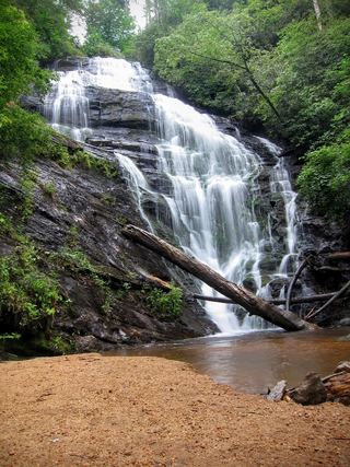 King Creek FallsResearched visit notes66 ft (20 m) · Oconee County, SC
- Spring Bluff FallsPartial guide: state park trail; the park trail description does not name this fallsPickens County, SC
- Upper Sloan Bridge FallsPartial guide: steep scramble path; which drop the sources describe is not confirmedOconee County, SC
- Carrick Creek FallsState park trail to an observation deck near the trailheadPickens County, SC
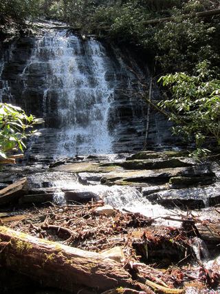 Spoonauger FallsSource-reviewed route and parkingOconee County, SC
- Andrew Ramey FallsPartial guide: short unofficial scramble path from a forest roadOconee County, SC
- Midway FallsPartial guide: unofficial, overgrown path from a forest roadOconee County, SC
- Green Creek FallsPartial guide: view from the Table Rock Trail; name and exact drop from one visitor accountPickens County, SC
- Rhodo FallsPartial guide: unofficial, overgrown path from a forest roadOconee County, SC
- Bearcamp Creek FallsPartial guide: route source is from 2006 and the match to this waterfall is probableTransylvania County, NC
- Pristine FallsPartial guide: unofficial path, ford and scrambleOconee County, SC
- Fall Creek FallsPartial guide: unofficial, unmarked path through national forestOconee County, SC
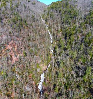 Corbin Creek FallsFee recreation area; maintained trail reaches only the lowest section of a long cascadeTransylvania County, NC
- Beech Bottom FallsBuilt state trail with signed parking and observation deckPickens County, SC
- Big FallsPartial guide: unofficial trail, dangerous ford and scramble; parking and land permission details unconfirmed197 ft (60 m) · Transylvania County, NC
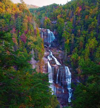 Upper Whitewater FallsResearched visit notes410 ft (125 m) · Transylvania County, NC
- Little Brasstown FallsNearby lower Brasstown route closed; Little Brasstown spur describedOconee County, SC
- Reedy Branch FallsNational forest roadbed walk to the falls documentedOconee County, SC
- Brasstown FallsLower trail closed; visit first viewing platform onlyOconee County, SC
- Hilliard FallsLong backcountry trail hike; about 12 miles returnTransylvania County, NC
- Rich FallsOld logging road, river wade and very steep side pathTransylvania County, NC
- Fowler Creek FallsPartial: wilderness trail then an extremely steep bushwhackJackson County, NC
- Arboretum FallsCity park paths to the falls documentedGreenville County, SC
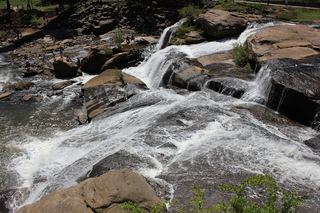 Reedy River FallsResearched visit notes28 ft (8.5 m) · Greenville County, SC
- Sids FallsPartial guide: forest road walk, then an unofficial user path; parking at the gate not describedOconee County, SC
- Maxie Duke FallsPartial guide: steep scramble path for the last 0.2 mileOconee County, SC
- Hidden Dome FallsNational forest; river ford and off-trail route, very difficultTransylvania County, NC
- Sparkle FallsPartial guide: no trail; creek walk below Sids FallsOconee County, SC
- Camp Branch FallsPartial guide: heard from the trail; view and base access not confirmedOconee County, SC
- Rock Quarry FallsCity garden falls reached by stone steps from a small pull-offGreenville County, SC
- Opossum Creek FallsResearched route and starting areaOconee County, SC
- Simon FallsNational forest old road; river ford requiredTransylvania County, NC
- Lower Bearwallow FallsPartial guide: no trail for the final descent; park position on access unclearTransylvania County, NC
- Merge Lane FallsPartial: unofficial paths; 2017 report onlyTransylvania County, NC
- Lower Scotsman Creek FallsPartial guide: no trail below Scotsman Falls; wading and bushwhacking from 2005 directionsJackson County, NC
- Bear Canyon FallsState park trail then a very steep off-trail bushwhackTransylvania County, NC
- Scotsman Creek FallsPartial: no real trail; very steep unofficial path from the roadJackson County, NC
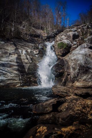 Windy FallsPartial guide: unofficial route to the top of a dangerous falls; trail name not in the current park trail list197 ft (60 m) · Transylvania County, NC
- Upper Scotsman Creek FallsNational forest; roadside parking and a short off-trail descentJackson County, NC
- Hornet FallsPartial: unofficial paths and a creek-walk; 2017 report onlyTransylvania County, NC
- Chub Line FallsPartial: state park trail then an unmarked very steep descentTransylvania County, NC
- Reid Branch FallsNational forest old road; steep side path20 ft (6 m) · Transylvania County, NC
- Nasty FallsPartial guide: no trail; creek walk, informal parking, distance not publishedTransylvania County, NC
- High FallsGated old road and unofficial side trail; river wade for the best view49 ft (15 m) · Transylvania County, NC
- Pothole FallsRoadside bridge view; scramble to the baseMacon County, NC
- Homer's FallsPartial guide: unofficial trail and a very steep scramble pathOconee County, SC
- John's JumpShort unofficial path from a roadside pull-off; two firsthand sources agreeTransylvania County, NC
- Sidepocket FallsPartial guide: rough unmaintained path below Stairway Falls; route last described in detail in 200349 ft (15 m) · Transylvania County, NC
- DEW FallsNational forest; very short walk from a roadside gateTransylvania County, NC
- Graveley FallsState forest old-road walk; two firsthand sources agree, roadside parking onlyTransylvania County, NC
- Maple Spring Branch FallsPartial guide: faint unofficial descent and scramble from the trailTransylvania County, NC
- Long Creek FallsPartial guide: unofficial, unmarked path in the national forestOconee County, SC
- Paw Paw FallsPartial guide: off-trail route only loosely described and the exact waterfall position is not publishedTransylvania County, NC
- Split Rock FallsPartial: state park trails, a creek ford and a bushwhackTransylvania County, NC
- Indian Camp FallsPartial: state park trails, a creek ford and an unmeasured bushwhack; no published distanceTransylvania County, NC
- Stairway FallsState park trailhead; unofficial side path in the national forest39 ft (12 m) · Transylvania County, NC
- White Owl FallsShort roadside scramble path in national forest; wade for the best view13 ft (4 m) · Transylvania County, NC
- Double Drop FallsPartial guide: trail to the area, then an unmarked off-trail descentTransylvania County, NC
- Joe Pack FallsPartial: off-trail river route; parking and distance not statedTransylvania County, NC
- Twin FallsPartial guide: private land; only a view of the top from a public road bridge; no parking describedTransylvania County, NC
- Wintergreen FallsState park trails, then a faint riverside path for the last half mile164 ft (50 m) · Transylvania County, NC
- Rainbow FallsMarked trail from Gorges State Park; steep, popular hike128 ft (39 m) · Transylvania County, NC
- Upper Wintergreen FallsPartial guide: the last part is a long off-trail route that needs navigation skills66 ft (20 m) · Transylvania County, NC
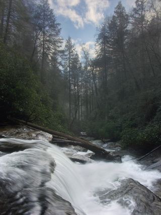 Secret FallsForest Service trail with steps to the base; road gated in winterMacon County, NC
- Turtleback FallsState park trailhead; national forest trail13 ft (4 m) · Transylvania County, NC
- Drift FallsPublic trail to a boundary view; falls on private land33 ft (10 m) · Transylvania County, NC
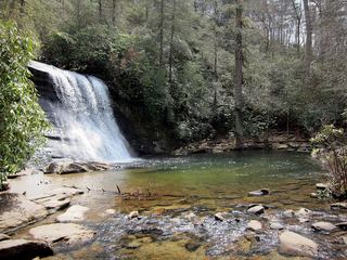 Silver Run FallsResearched walking route26 ft (8 m) · Jackson County, NC
 Upper Silver Run FallsShort trail, then a steep root climb and informal pathJackson County, NC
- Upper Bearwallow FallsState park trail; short steep walk to an overlook98 ft (30 m) · Transylvania County, NC
- Cane Creek FallsPartial guide: no trail, steep bushwhack from a gated forest roadMacon County, NC
- Lower Stick FallsPartial: short but steep bushwhack near cliffs; no trailMacon County, NC
- Coyote FallsShort unofficial path from a highway pullout; two firsthand sources agreeJackson County, NC
- Slick Stick FallsPartial guide: no trail; bushwhack and creekwalk onlyMacon County, NC
- Stick FallsNational forest; short bushwhack with a cliffMacon County, NC
Closest with a photo
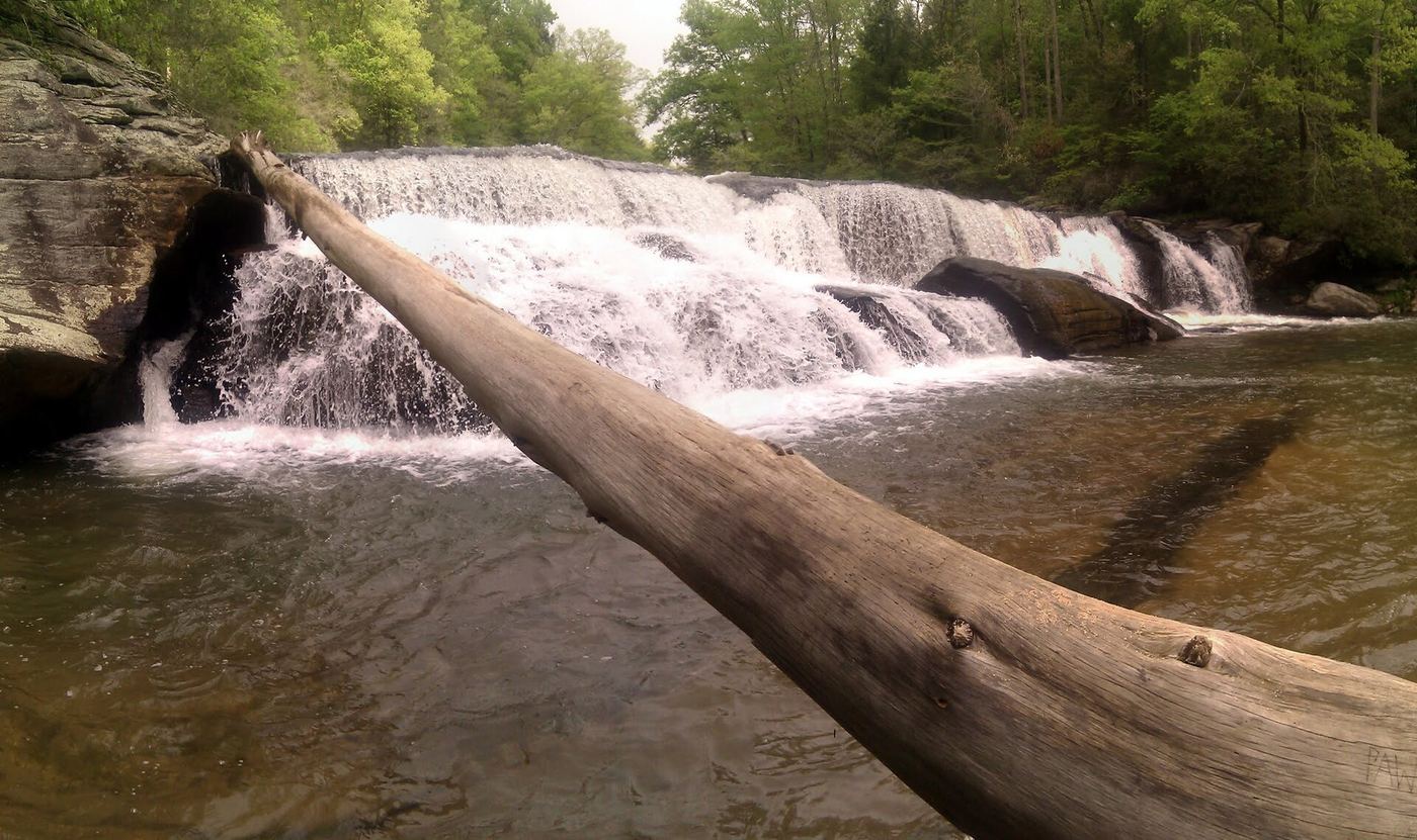
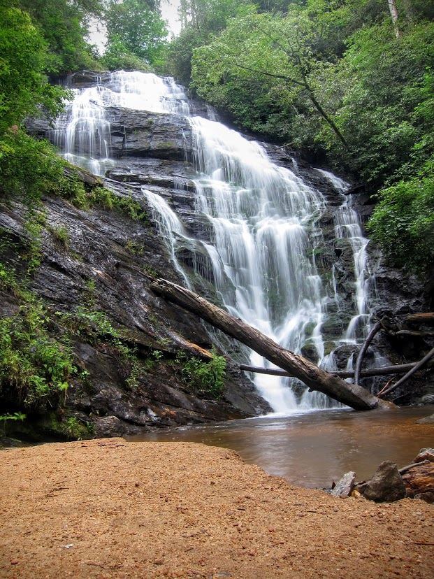
All 257 waterfalls
- Horsehead Point FallsPickens County, SC2.4 miNW
- Meadow FallsForest trail and roadside trailhead documentedPickens County, SC2.6 miN
- Waldrop Stone FallsForest trail and designated trailhead documentedPickens County, SC4.0 miN
- Todd Creek FallsPartial guide: unmarked path and small roadside pull-offPickens County, SC4.8 miN
- Wildcat Creek FallsUniversity forest road walk to the falls documented; access road closed in winterPickens County, SC5.3 miN
- Fall Creek FallsPartial guide: boat access only; listing match probableOconee County, SC15 miN
- Clearwater FallsPickens County, SC17 miN
- Chau Ram FallsCounty park with an accessible waterfall view near parkingOconee County, SC17 miW
- Spelunker FallsPickens County, SC18 miN
- Crosscut FallsPickens County, SC18 miN
- Lower Poe Creek FallsState park trail route and trailhead documentedPickens County, SC18 miN
- Poe Creek FallsPartial guide: name conflict; Waterfall Hero calls this point Upper Poe Creek FallsPickens County, SC18 miN
- Middle Poe Creek FallsState park trail route and trailhead documentedPickens County, SC18 miN
- Station Cove FallsResearched walking routeOconee County, SC18 miNW
- Silver Ribbon FallsPickens County, SC18 miN
- Allie's FallsPickens County, SC18 miN
- Isaqueena FallsCity park trail to the viewing platform documented; vehicle feeOconee County, SC18 miNW
- Mizelle FallsPickens County, SC18 miN
- Jim Lee FallsPartial guide: unmarked cross-country route next to private landOconee County, SC18 miNW
- Yellow Branch FallsResearched route and starting areaOconee County, SC19 miNW
- Pork Chop FallsPickens County, SC19 miN
- Lohr's FallsOconee County, SC19 miNW
- Triple FallsPickens County, SC19 miN
- Hidden FallsSigned state park trail and trailhead documentedOconee County, SC20 miNW
- Riley Moore FallsResearched visit notes12 ft (3.6 m) · Oconee County, SC20 miW
- Disappearing FallsPartial guide: small falls beside the Hidden Falls Trail; the route source does not use this nameOconee County, SC20 miNW
- Horse Bone FallsPartial guide: no trail; off-trail approach along or down to Horse Bone BranchOconee County, SC20 miNW
- Blue Hole FallsParking location and current route condition unconfirmed8 ft (2.5 m) · Oconee County, SC21 miW
- Cedar Creek FallsPartial guide: informal side path from an old forest road; position matched by descriptionOconee County, SC21 miW
- Lee FallsPartial guide: no official trail; old fields and an unofficial creekside pathOconee County, SC21 miNW
- Bone Camp Creek FallsOconee County, SC21 miNW
- Land Bridge FallsPartial guide: informal fishermen's paths; one sourceOconee County, SC21 miNW
- Crossland Creek FallsOconee County, SC21 miNW
- Chauga NarrowsNational forest path route and parking documented; slippery rock at the endOconee County, SC21 miNW
- Prince Cove FallsPickens County, SC22 miN
- Divinity FallsPickens County, SC22 miN
- Crane FallsPartial guide: no published distance; informal creek pathOconee County, SC22 miNW
- Never Ending FallsPickens County, SC22 miN
- Bad Creek FallsOconee County, SC22 miNW
- Lower Wash Branch FallsOconee County, SC22 miNW
- Secret FallsPartial guide: final 300 yards are cross-country with no trail markingsOconee County, SC22 miNW
- Upper Wash Branch FallsOconee County, SC22 miNW
- Cheohee Road FallsPartial guide: roadside falls; no parking describedOconee County, SC22 miNW
- Little Miuka FallsOconee County, SC22 miNW
- Crane Creek FallsPartial guide: off-trail bushwhack of about half a mile; no trailOconee County, SC22 miNW
Show the other 212 waterfalls, 22 mi to 30 mi away
- Yellow Jacket FallsOconee County, SC22 miNW
- Prospector FallsOconee County, SC22 miNW
- Lower Miuka FallsOconee County, SC22 miNW
- Deadfall FallsOconee County, SC22 miNW
- Miuka FallsNational forest trail from SC 107 near Cherry HillOconee County, SC22 miNW
- Limestone FallsOconee County, SC22 miNW
- Adams Creek FallsPickens County, SC22 miNE
- Cane Creek FallsPickens County, SC23 miN
- Gauley FallsPickens County, SC23 miN
- Good Golly FallsPickens County, SC23 miN
- Twin FallsPartial guide: private nature preserve; the listing says hikers go at their own riskPickens County, SC23 miN
- Double Spring Mountain FallsOconee County, SC23 miN
- Alewine FallsPickens County, SC23 miN
- Double Branch FallsOconee County, SC23 miW
- Deception FallsPickens County, SC23 miN
- Devils Hole Creek FallsPickens County, SC23 miN
- Monolith FallsPickens County, SC23 miN
- Euphoria FallsPickens County, SC23 miN
- Rachael Creek FallsPickens County, SC24 miN
- Bee Cove FallsPartial guide: final approach off-trail; listing match probableOconee County, SC24 miNW
- Lower Yucca FallsPickens County, SC24 miN
- Yucca FallsPartial guide: off-trail bushwhack and steep scramble; parking and distance not givenPickens County, SC24 miN
- Middle Rachael Creek FallsPickens County, SC24 miN
- Upper Yucca FallsPickens County, SC24 miN
- Jumble FallsPickens County, SC24 miN
- Upper Pigpen FallsOconee County, SC24 miNW
- Triple FallsPickens County, SC24 miN
- Pigpen FallsFoothills Trail and Chattooga Trail from Nicholson Ford RoadOconee County, SC24 miNW
- Rachaels RacewayPickens County, SC24 miN
- Camp McCall FallsPickens County, SC24 miN
- Wright Creek FallsPartial guide: boat access only; lake route not publishedOconee County, SC24 miN
- Upper Rachael Creek FallsPickens County, SC24 miN
- Longnose Creek FallsOconee County, SC24 miW
- Licklog FallsNational forest trail route and trailhead documentedOconee County, SC24 miNW
- Ira Branch FallsPartial guide: no trail beyond the Ira Branch footbridge; winter recommendedOconee County, SC24 miNW
- The NarrowsPickens County, SC24 miN
- Eden FallsPickens County, SC24 miN
- Palmetto Trail FallsPickens County, SC24 miN
- Lower Poplar Hollow FallsPickens County, SC24 miN
- Laurel Fork FallsLong Foothills Trail route to the falls overlook documentedPickens County, SC24 miN
- Mountain Cat FallsPickens County, SC24 miN
- Poplar Hollow FallsPickens County, SC24 miN
- Big Bend FallsNational forest trail route documented; steep final descent to the riverOconee County, SC25 miNW
- Lower Whitewater FallsResearched visit notesOconee County, SC25 miN
- Snider FallsOconee County, SC25 miNW
- Mill Creek FallsState park trail and spur documented; very strenuousPickens County, SC25 miN
- Pinnacle Mountain FallsPickens County, SC25 miN
- Rock Bottom FallsPickens County, SC25 miN
- Virginia Hawkins FallsPreserve trail route and trailhead documented; very limited parkingPickens County, SC25 miN
- Rocky Bottom Gorge FallsPickens County, SC25 miN
- Hiker's Peril FallsOfficial long-distance trail and picnic area parking documentedOconee County, SC25 miNW
- King Creek FallsResearched visit notes66 ft (20 m) · Oconee County, SC25 miNW
- Spring Bluff FallsPartial guide: state park trail; the park trail description does not name this fallsPickens County, SC25 miN
- Lower Sloan Bridge FallsOconee County, SC25 miNW
- Mill Creek FallsOconee County, SC25 miN
- Rock Palace FallsPickens County, SC25 miN
- Upper Sloan Bridge FallsPartial guide: steep scramble path; which drop the sources describe is not confirmedOconee County, SC25 miNW
- Mossy Cove FallsPickens County, SC25 miN
- Little Fall Creek FallsOconee County, SC25 miW
- Slatten Branch FallsOconee County, SC25 miNW
- Carrick Creek FallsState park trail to an observation deck near the trailheadPickens County, SC25 miN
- Spoonauger FallsSource-reviewed route and parkingOconee County, SC25 miNW
- Andrew Ramey FallsPartial guide: short unofficial scramble path from a forest roadOconee County, SC25 miW
- Midway FallsPartial guide: unofficial, overgrown path from a forest roadOconee County, SC25 miW
- Green Creek FallsPartial guide: view from the Table Rock Trail; name and exact drop from one visitor accountPickens County, SC25 miN
- Rhodo FallsPartial guide: unofficial, overgrown path from a forest roadOconee County, SC26 miW
- Triple FallsOconee County, SC26 miW
- Evil Ducky FallsPickens County, SC26 miN
- Bella FallsPickens County, SC26 miN
- Bearcamp Creek FallsPartial guide: route source is from 2006 and the match to this waterfall is probableTransylvania County, NC26 miN
- Pristine FallsPartial guide: unofficial path, ford and scrambleOconee County, SC26 miW
- Firefly FallsPickens County, SC26 miN
- Fall Creek FallsPartial guide: unofficial, unmarked path through national forestOconee County, SC26 miW
- Side Pocket FallsOconee County, SC26 miW
- Corbin Creek FallsFee recreation area; maintained trail reaches only the lowest section of a long cascadeTransylvania County, NC26 miN
- Final FallsOconee County, SC26 miW
- Beech Bottom FallsBuilt state trail with signed parking and observation deckPickens County, SC26 miN
- Big FallsPartial guide: unofficial trail, dangerous ford and scramble; parking and land permission details unconfirmed197 ft (60 m) · Transylvania County, NC26 miN
- Persistence FallsPickens County, SC26 miN
- Rock Creek FallsTransylvania County, NC26 miN
- Upper Whitewater FallsResearched visit notes410 ft (125 m) · Transylvania County, NC26 miNW
- Sky Falls148 ft (45 m) · Transylvania County, NC26 miN
- Standing Stone FallsTransylvania County, NC26 miN
- Indian Ford Falls98 ft (30 m) · Transylvania County, NC26 miN
- Little Brasstown FallsNearby lower Brasstown route closed; Little Brasstown spur describedOconee County, SC27 miW
- Reedy Branch FallsNational forest roadbed walk to the falls documentedOconee County, SC27 miW
- Boyer FallsOconee County, SC27 miW
- Upper Long Creek FallsOconee County, SC27 miW
- Brasstown FallsLower trail closed; visit first viewing platform onlyOconee County, SC27 miW
- Hilliard FallsLong backcountry trail hike; about 12 miles returnTransylvania County, NC27 miN
- Bearpen FallsTransylvania County, NC27 miN
- Rich FallsOld logging road, river wade and very steep side pathTransylvania County, NC27 miN
- Rudis FallsTransylvania County, NC27 miN
- Middle Long Creek FallsOconee County, SC27 miW
- Hog Wild Cave FallsPickens County, SC27 miN
- Shoulder Bone FallsOconee County, SC27 miW
- Fowler Creek FallsPartial: wilderness trail then an extremely steep bushwhackJackson County, NC27 miNW
- Toxaway ShoalsTransylvania County, NC27 miN
- Shangri-La FallsTransylvania County, NC27 miN
- Waddle Branch FallsTransylvania County, NC27 miNW
- Arboretum FallsCity park paths to the falls documentedGreenville County, SC27 miNE
- Portage Left FallsJackson County, NC27 miNW
- Wheelchair Accessable FallsJackson County, NC27 miNW
 Lower Reedy River FallsGreenville County, SC27 miNE
- Reedy River FallsResearched visit notes28 ft (8.5 m) · Greenville County, SC27 miNE
- Sids FallsPartial guide: forest road walk, then an unofficial user path; parking at the gate not describedOconee County, SC27 miW
- Maxie Duke FallsPartial guide: steep scramble path for the last 0.2 mileOconee County, SC27 miW
- Hidden Dome FallsNational forest; river ford and off-trail route, very difficultTransylvania County, NC27 miN
- Great FallsTransylvania County, NC27 miN
- Big Ledge FallsJackson County, NC27 miNW
- Sparkle FallsPartial guide: no trail; creek walk below Sids FallsOconee County, SC27 miW
- Luner FallsTransylvania County, NC27 miN
- Taper FallsTransylvania County, NC27 miN
- Camp Branch FallsPartial guide: heard from the trail; view and base access not confirmedOconee County, SC27 miW
- Boushell FallsTransylvania County, NC27 miN
- Norm's FallsOconee County, SC27 miW
- The ShoalsTransylvania County, NC27 miN
- John Danner FallsOconee County, SC27 miW
- 55MPH FallsTransylvania County, NC27 miNW
- Standing Up Rock FallsTransylvania County, NC27 miN
- Eel Line FallsTransylvania County, NC27 miN
- Noisy FallsJackson County, NC28 miNW
- FR89 FallsJackson County, NC28 miNW
- Rock Quarry FallsCity garden falls reached by stone steps from a small pull-offGreenville County, SC28 miNE
- Upper Opossum Creek FallsOconee County, SC28 miW
- Opossum Creek FallsResearched route and starting areaOconee County, SC28 miW
- Simon FallsNational forest old road; river ford requiredTransylvania County, NC28 miN
- Lower Bearwallow FallsPartial guide: no trail for the final descent; park position on access unclearTransylvania County, NC28 miN
- Rooster Tail FallsTransylvania County, NC28 miN
- Hen Tail FallsTransylvania County, NC28 miN
- Teds FallsTransylvania County, NC28 miN
- Merge Lane FallsPartial: unofficial paths; 2017 report onlyTransylvania County, NC28 miNW
- Lower Scotsman Creek FallsPartial guide: no trail below Scotsman Falls; wading and bushwhacking from 2005 directionsJackson County, NC28 miNW
- Step Around FallsTransylvania County, NC28 miN
- Bear Canyon FallsState park trail then a very steep off-trail bushwhackTransylvania County, NC28 miN
- Scotsman Creek FallsPartial: no real trail; very steep unofficial path from the roadJackson County, NC28 miNW
- Windy FallsPartial guide: unofficial route to the top of a dangerous falls; trail name not in the current park trail list197 ft (60 m) · Transylvania County, NC28 miN
- Unmentionable FallsTransylvania County, NC28 miN
- Bluff FallsTransylvania County, NC28 miN
- Upper Scotsman Creek FallsNational forest; roadside parking and a short off-trail descentJackson County, NC28 miNW
- Bedrock FallsTransylvania County, NC28 miNW
- Stair Step FallsTransylvania County, NC28 miN
- Hornet FallsPartial: unofficial paths and a creek-walk; 2017 report onlyTransylvania County, NC28 miNW
- Chub Line FallsPartial: state park trail then an unmarked very steep descentTransylvania County, NC28 miN
- Exit FallsTransylvania County, NC28 miNW
- Reid Branch FallsNational forest old road; steep side path20 ft (6 m) · Transylvania County, NC28 miN
- Boren Mill ShoalsTransylvania County, NC28 miN
- Big Hole FallsTransylvania County, NC28 miNW
- Entrance FallsTransylvania County, NC28 miNW
- Nasty FallsPartial guide: no trail; creek walk, informal parking, distance not publishedTransylvania County, NC28 miNW
- Jane Cantrell FallsGreenville County, SC28 miN
- High FallsGated old road and unofficial side trail; river wade for the best view49 ft (15 m) · Transylvania County, NC28 miN
- Slicking FallsGreenville County, SC28 miN
- Pothole FallsRoadside bridge view; scramble to the baseMacon County, NC28 miNW
- Pleasant Grove Church FallsJackson County, NC28 miNW
- Homer's FallsPartial guide: unofficial trail and a very steep scramble pathOconee County, SC28 miW
- John's JumpShort unofficial path from a roadside pull-off; two firsthand sources agreeTransylvania County, NC28 miN
- Indian Branch FallsTransylvania County, NC28 miN
- Sidepocket FallsPartial guide: rough unmaintained path below Stairway Falls; route last described in detail in 200349 ft (15 m) · Transylvania County, NC28 miN
- Arrowhead FallsTransylvania County, NC28 miN
- Indian Camp Branch FallsTransylvania County, NC28 miN
- DEW FallsNational forest; very short walk from a roadside gateTransylvania County, NC28 miN
- Graveley FallsState forest old-road walk; two firsthand sources agree, roadside parking onlyTransylvania County, NC28 miN
- Tumblin' Fun FallsTransylvania County, NC28 miN
- Maple Spring Branch FallsPartial guide: faint unofficial descent and scramble from the trailTransylvania County, NC28 miN
 Conestee FallsGreenville County, SC28 miE
- Auger Hole FallsTransylvania County, NC28 miN
- Long Creek FallsPartial guide: unofficial, unmarked path in the national forestOconee County, SC28 miW
- Slippery Witch FallsTransylvania County, NC28 miN
- Paw Paw FallsPartial guide: off-trail route only loosely described and the exact waterfall position is not publishedTransylvania County, NC29 miN
- Chute FallsTransylvania County, NC29 miN
- Split Rock FallsPartial: state park trails, a creek ford and a bushwhackTransylvania County, NC29 miN
- Frozen Creek ShoalsTransylvania County, NC29 miN
- Indian Camp FallsPartial: state park trails, a creek ford and an unmeasured bushwhack; no published distanceTransylvania County, NC29 miN
- Stairway FallsState park trailhead; unofficial side path in the national forest39 ft (12 m) · Transylvania County, NC29 miN
- Democrat Canyon FallsTransylvania County, NC29 miNW
- White Owl FallsShort roadside scramble path in national forest; wade for the best view13 ft (4 m) · Transylvania County, NC29 miN
- Dana FallsTransylvania County, NC29 miNW
- Battle Creek FallsOconee County, SC29 miW
- Upper Maple Spring Branch FallsTransylvania County, NC29 miN
- Aggrandizement FallsTransylvania County, NC29 miNW
- Pounding Mill FallsTransylvania County, NC29 miN
- Double Drop FallsPartial guide: trail to the area, then an unmarked off-trail descentTransylvania County, NC29 miN
- Bestos FallsTransylvania County, NC29 miN
- Joe Pack FallsPartial: off-trail river route; parking and distance not statedTransylvania County, NC29 miN
- Twin FallsPartial guide: private land; only a view of the top from a public road bridge; no parking describedTransylvania County, NC29 miN
- Land Bridge FallsTransylvania County, NC29 miN
- Wintergreen FallsState park trails, then a faint riverside path for the last half mile164 ft (50 m) · Transylvania County, NC29 miN
- Rainbow FallsMarked trail from Gorges State Park; steep, popular hike128 ft (39 m) · Transylvania County, NC29 miN
- Upper Wintergreen FallsPartial guide: the last part is a long off-trail route that needs navigation skills66 ft (20 m) · Transylvania County, NC29 miN
- Secret FallsForest Service trail with steps to the base; road gated in winterMacon County, NC29 miNW
- Turtleback FallsState park trailhead; national forest trail13 ft (4 m) · Transylvania County, NC29 miN
- Drift FallsPublic trail to a boundary view; falls on private land33 ft (10 m) · Transylvania County, NC29 miN
- Silver Run FallsResearched walking route26 ft (8 m) · Jackson County, NC29 miNW
- Upper Silver Run FallsShort trail, then a steep root climb and informal pathJackson County, NC29 miNW
- Eastatoe FallsTransylvania County, NC29 miN
- Claypole Branch FallsTransylvania County, NC30 miN
- Doghobble FallsJackson County, NC30 miNW
- Lower Indian Creek FallsTransylvania County, NC30 miN
- Upper Bearwallow FallsState park trail; short steep walk to an overlook98 ft (30 m) · Transylvania County, NC30 miN
- Cane Creek FallsPartial guide: no trail, steep bushwhack from a gated forest roadMacon County, NC30 miNW
- Buttermilk FallsTransylvania County, NC30 miN
- Secret FallsGreenville County, SC30 miN
- Lower Stick FallsPartial: short but steep bushwhack near cliffs; no trailMacon County, NC30 miNW
- Middle Indian Creek FallsTransylvania County, NC30 miN
- Coyote FallsShort unofficial path from a highway pullout; two firsthand sources agreeJackson County, NC30 miNW
- Slick Stick FallsPartial guide: no trail; bushwhack and creekwalk onlyMacon County, NC30 miNW
- Stick FallsNational forest; short bushwhack with a cliffMacon County, NC30 miNW
- Upper Indian Creek FallsTransylvania County, NC30 miN
- Bear FallsGreenville County, SC30 miN
- Spider Tunnel FallsPickens County, SC30 miNE
- Indian Creek FallsTransylvania County, NC30 miN