Spoonauger Falls
Oconee County, South Carolina
Your visit at a glance
- Waterfall height
- Not recorded
- Location
- Oconee County, South Carolina
- Access status
- Source-reviewed route and parking
- The walk
- About 0.45 mile outward; return the same way
- Ground & access
- Creek crossing, narrow trail, obstacles and three further switchbacks above the lower falls. Wet rocks and leaves are slippery. Do not climb waterfall rocks.
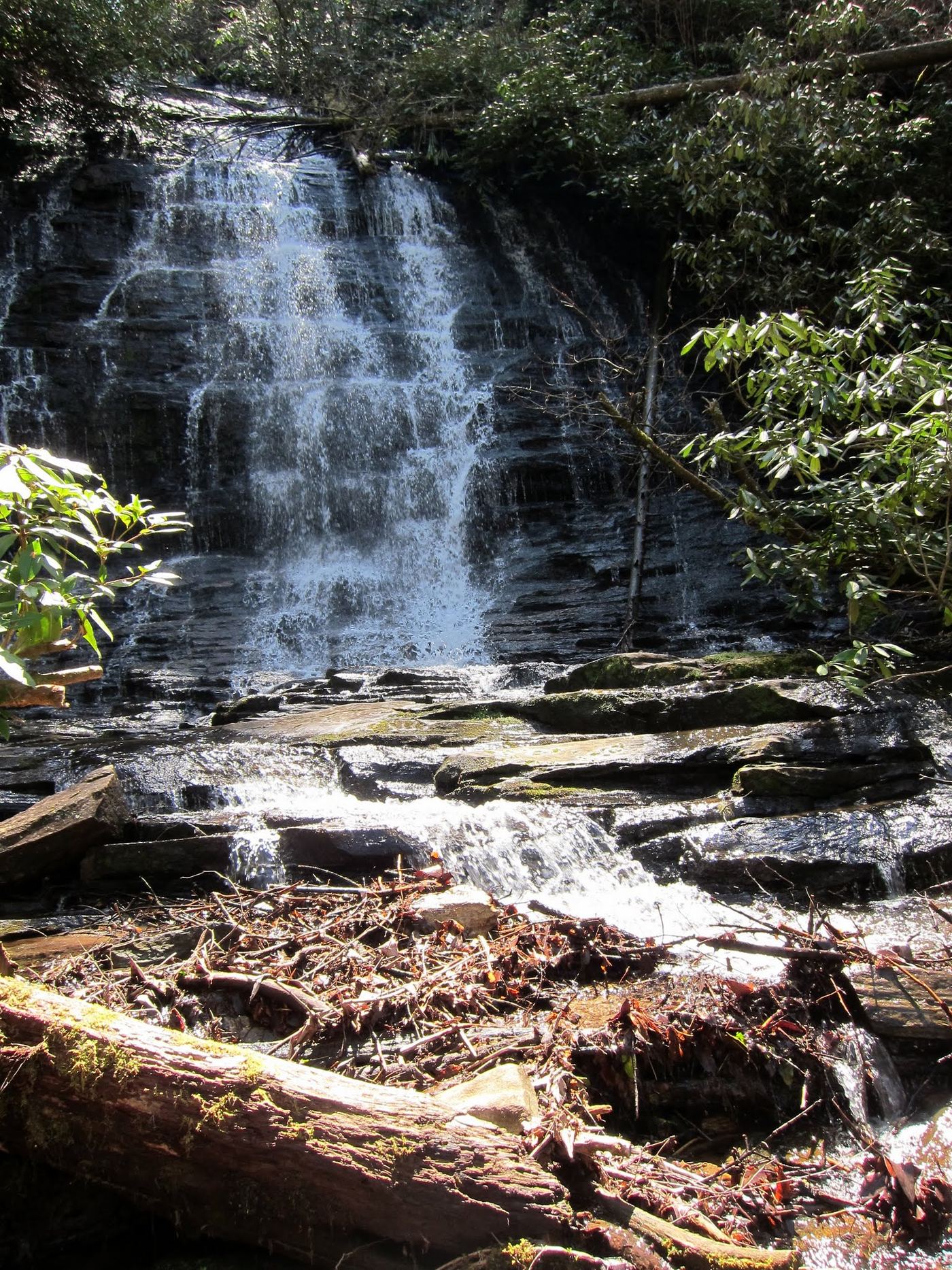
From the Chattooga trailhead on Burrells Ford Road, walk north along the river for 0.25 mile, cross Spoonauger Creek, and turn right at the trail sign. Continue 0.1 mile to the first switchback and another 0.1 mile uphill to the base.
Plan your visit
Chattooga River Trail to Spoonauger Falls Trail
0.45 mile outward is the sum of the three published trail segments (0.25 + 0.1 + 0.1 mile).
Creek crossing, narrow trail, obstacles and three further switchbacks above the lower falls. Wet rocks and leaves are slippery. Do not climb waterfall rocks.
Where to start
USFS identifies minimal parking beside Burrells Ford Road and additional parking at the Burrells Ford lot. The trailhead bulletin board is on the left about three miles down Burrells Ford Road from SC 107.
Timing & water
USFS lists year-round use and the site open on the checked page; confirm current alerts.
Before you go
Unknown: current fees or reservation requirements were not established in the reviewed source.
Visitor informationVisit sources
More waterfalls nearby
Within 40 straight-line miles. Road and trail distances will differ.
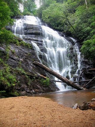 King Creek FallsResearched visit notes66 ft (20 m) · Oconee County, SC0.6 miS
- Big Bend FallsNational forest trail route documented; steep final descent to the riverOconee County, SC1.6 miS
- Fowler Creek FallsPartial: wilderness trail then an extremely steep bushwhackJackson County, NC2.0 miN
- Lower Scotsman Creek FallsPartial guide: no trail below Scotsman Falls; wading and bushwhacking from 2005 directionsJackson County, NC2.8 miN
- Scotsman Creek FallsPartial: no real trail; very steep unofficial path from the roadJackson County, NC2.9 miN
- Pothole FallsRoadside bridge view; scramble to the baseMacon County, NC3.0 miN
- Upper Scotsman Creek FallsNational forest; roadside parking and a short off-trail descentJackson County, NC3.0 miN
- Miuka FallsNational forest trail from SC 107 near Cherry HillOconee County, SC3.2 miSE
- Lower Miuka FallsOconee County, SC3.2 miSE