King Creek Falls
Oconee County, South Carolina
Your visit at a glance
- Waterfall height
- 66 ft (20 m)
- Location
- Oconee County, South Carolina
- The walk
- Published 0.5 mile one-way; conflicting 0.6-mile summary
- Ground & access
- Natural surface, bridge and steps; rated moderate.
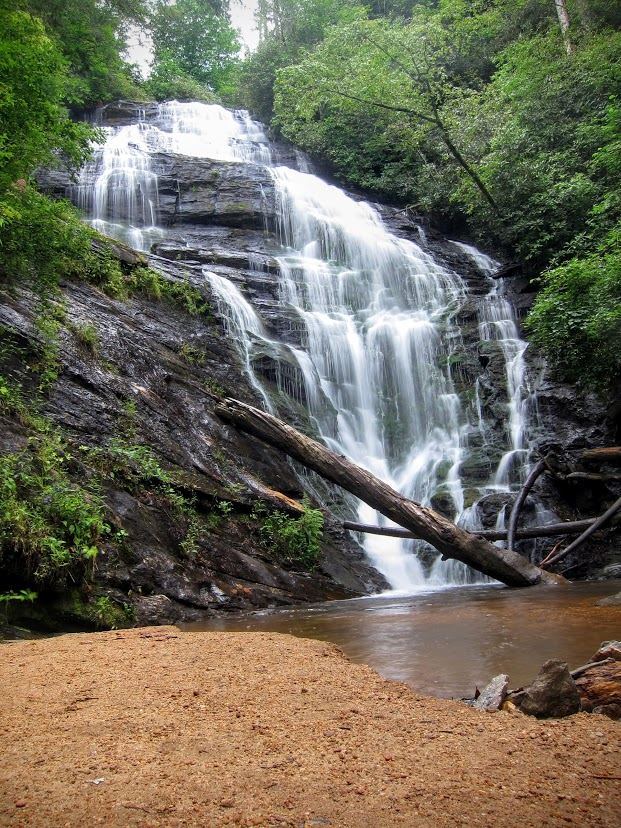
From Burrells Ford, follow the signed route beside King Creek, cross the bridge, and continue up wooden steps.
Plan your visit
Chattooga Trail to King Creek Falls spur
SC Trails labels 0.5 mile one-way but also calls the hike 0.6 mile. Complete parking-to-falls distance remains uncertain.
Natural surface, bridge and steps; rated moderate.
Where to start
Burrells Ford Road parking area, about three miles from SC 107; route starts at its southern end.
Timing & water
Unknown: current trail condition not established.
Before you go
SC Trails lists no fee; booking rules unknown.
Visitor informationVisit sources
More waterfalls nearby
Within 40 straight-line miles. Road and trail distances will differ.
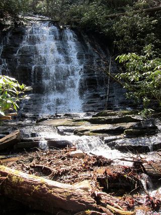 Spoonauger FallsSource-reviewed route and parkingOconee County, SC0.6 miN
- Big Bend FallsNational forest trail route documented; steep final descent to the riverOconee County, SC1.0 miSW
- Fowler Creek FallsPartial: wilderness trail then an extremely steep bushwhackJackson County, NC2.6 miN
- Miuka FallsNational forest trail from SC 107 near Cherry HillOconee County, SC2.7 miSE
- Lower Miuka FallsOconee County, SC2.8 miSE
- Licklog FallsNational forest trail route and trailhead documentedOconee County, SC2.8 miSW
- Upper Pigpen FallsOconee County, SC2.8 miS
- Pigpen FallsFoothills Trail and Chattooga Trail from Nicholson Ford RoadOconee County, SC2.8 miS
- Deadfall FallsOconee County, SC2.8 miSE