Fowler Creek Falls
Jackson County, North Carolina
Your visit at a glance
- Waterfall height
- Not recorded
- Location
- Jackson County, North Carolina
- Access status
- Partial: wilderness trail then an extremely steep bushwhack
- The walk
- About 4.8 miles return, including the bushwhack
- Ground & access
- Very difficult. Unmarked wilderness trail, then an extremely steep off-trail descent through rhododendron and loose rock.
From US 64 in Cashiers, drive south on NC 107 for about 6.9 miles and turn right on Bull Pen Road. Drive 2.6 miles, the road turning to gravel, to a pulloff on the right just before the bridge over Fowler Creek. Ellicott Rock Trail (#431) starts across the road. It crosses tributaries, climbs a ridge and descends. At 2.3 miles, at the second left-hand switchback, leave the trail and bushwhack down toward the creek. The route is extremely steep through dense rhododendron, with loose rock at the bottom, and reaches the creek just below the 40 foot falls. This is a partial guide: the final descent has no trail. Ellicott Rock Wilderness trails are not marked.
Plan your visit
Bull Pen Road pulloff, Ellicott Rock Trail 2.3 miles, then a steep bushwhack down to Fowler Creek Falls
Waterfall Hero gives a 4.8 mile round trip: 2.3 miles on Ellicott Rock Trail each way plus the off-trail descent.
Very difficult. Unmarked wilderness trail, then an extremely steep off-trail descent through rhododendron and loose rock.
Where to start
Pulloff on the right of Bull Pen Road just before the Fowler Creek bridge. Published trailhead coordinates: 35.02354, -83.09501.
Timing & water
Bull Pen Road is gravel beyond the pavement. Wilderness trails have no signs or blazes.
Before you go
No fee. Ellicott Rock Wilderness, Nantahala National Forest. Group size limited to 10.
Visitor informationVisit sources
More waterfalls nearby
Within 40 straight-line miles. Road and trail distances will differ.
- Lower Scotsman Creek FallsPartial guide: no trail below Scotsman Falls; wading and bushwhacking from 2005 directionsJackson County, NC0.8 miNW
- Scotsman Creek FallsPartial: no real trail; very steep unofficial path from the roadJackson County, NC0.9 miN
- Upper Scotsman Creek FallsNational forest; roadside parking and a short off-trail descentJackson County, NC1.1 miN
- Pothole FallsRoadside bridge view; scramble to the baseMacon County, NC1.4 miNW
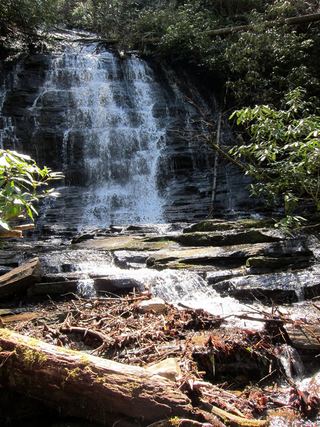 Spoonauger FallsSource-reviewed route and parkingOconee County, SC2.0 miS
- Pleasant Grove Church FallsJackson County, NC2.2 miN
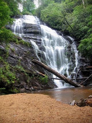 King Creek FallsResearched visit notes66 ft (20 m) · Oconee County, SC2.6 miS
- Cane Creek FallsPartial guide: no trail, steep bushwhack from a gated forest roadMacon County, NC2.7 miNW
- Upper Sloan Bridge FallsPartial guide: steep scramble path; which drop the sources describe is not confirmedOconee County, SC2.8 miE