Big Bend Falls
Oconee County, South Carolina
Your visit at a glance
- Waterfall height
- Not recorded
- Location
- Oconee County, South Carolina
- Access status
- National forest trail route documented; steep final descent to the river
- The walk
- 3.4 miles one way, per Discover Upcountry Carolina
- Ground & access
- Long riverside trail with some climbs. The final paths down the bank are steep, rugged and slippery; use extreme caution.
Big Bend Falls is a 30-foot drop, including a 15-foot block falls, on the Chattooga Wild and Scenic River at a hairpin bend, in Sumter National Forest. From Walhalla, take SC 28 north and SC 107 north 10.4 miles, then turn left on Burrells Ford Road (FS 708) and drive about 3 miles to the parking area on the left. Walk down to the Burrells Ford campground and continue south; the Chattooga Trail (black blazes) and Foothills Trail (white blazes) run together along the river. Pass the Big Bend Trail junction at 2.5 miles and continue about 0.5 mile until you hear the falls, then take one of the rugged paths down the laurel-covered bank.
Plan your visit
Burrells Ford parking area, Chattooga River Trail and Foothills Trail south (downstream) along the Chattooga River to Big Bend Falls
Discover Upcountry Carolina gives a 3.4-mile trail and about two hours one way. The Big Bend Trail junction is at 2.5 miles; the falls are about 0.5 mile beyond it. Return the same way.
Long riverside trail with some climbs. The final paths down the bank are steep, rugged and slippery; use extreme caution.
Where to start
Burrells Ford parking area on the left about 3 miles along Burrells Ford Road (FS 708) from SC 107.
Timing & water
No seasonal closure is stated.
Before you go
No fee is mentioned.
Visitor informationVisit sources
More waterfalls nearby
Within 40 straight-line miles. Road and trail distances will differ.
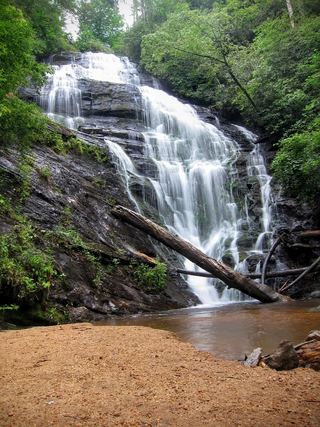 King Creek FallsResearched visit notes66 ft (20 m) · Oconee County, SC1.0 miNE
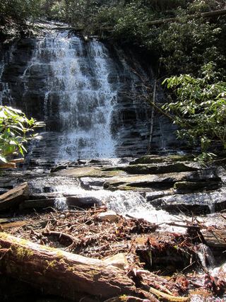 Spoonauger FallsSource-reviewed route and parkingOconee County, SC1.6 miN
- Licklog FallsNational forest trail route and trailhead documentedOconee County, SC1.8 miSW
- Upper Pigpen FallsOconee County, SC1.8 miS
- Pigpen FallsFoothills Trail and Chattooga Trail from Nicholson Ford RoadOconee County, SC1.8 miS
- Deadfall FallsOconee County, SC2.3 miSE
- Prospector FallsOconee County, SC2.3 miSE
- Miuka FallsNational forest trail from SC 107 near Cherry HillOconee County, SC2.3 miSE
- Lower Miuka FallsOconee County, SC2.4 miSE