Bee Cove Falls
Oconee County, South Carolina
Your visit at a glance
- Waterfall height
- Not recorded
- Location
- Oconee County, South Carolina
- Access status
- Partial guide: final approach off-trail; listing match probable
- The walk
- 2.1 miles one way, per SC Trails
- Ground & access
- Old forest road, then a fading path and a steep off-trail descent with rock outcrops. Below the first cascade, dense rhododendron makes progress very slow.
Bee Cove Falls is a remote multi-tier waterfall, one steep cascade and four smaller ones, in Sumter National Forest. From Walhalla, take SC 28 north to SC 107 and bear right; FS 702 is the second paved road on the right after Fish Hatchery Road. Park and walk east down FS 702 about 1 mile; just after crossing Bee Cove Creek take the right fork. In about 0.3 mile at a three-way intersection take the right path over a dirt barrier; in another 0.1 mile, where the road curves left, take the less defined path to the right. The path fades within 0.1 mile; from there, work down the steep slope and follow the sound to the first cascade. This partial guide follows SC Trails; the final approach is off-trail, and this listing's match is probable.
Plan your visit
FS 702 off SC 107, east along the old road past Bee Cove Creek, then a fading path and off-trail descent to Bee Cove Falls
SC Trails lists 2.1 miles one way. The last part, about 300 feet, is off-trail. Return the same way.
Old forest road, then a fading path and a steep off-trail descent with rock outcrops. Below the first cascade, dense rhododendron makes progress very slow.
Where to start
Park at FS 702 off SC 107. SC Trails gives about 12.9 miles from the SC 28 junction; the county guide gives 12.5 miles and a trailhead point at N 34.98243, W 83.06231.
Timing & water
No seasonal information is given. Allow two to three hours.
Before you go
SC Trails lists no fee.
Visitor informationVisit sources
More waterfalls nearby
Within 40 straight-line miles. Road and trail distances will differ.
- Hiker's Peril FallsOfficial long-distance trail and picnic area parking documentedOconee County, SC1.6 miN
- Lower Sloan Bridge FallsOconee County, SC1.7 miN
- Upper Sloan Bridge FallsPartial guide: steep scramble path; which drop the sources describe is not confirmedOconee County, SC1.8 miN
- Slatten Branch FallsOconee County, SC2.0 miN
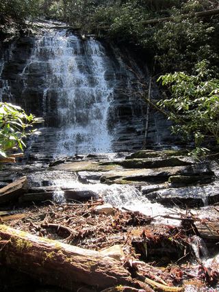 Spoonauger FallsSource-reviewed route and parkingOconee County, SC3.2 miW
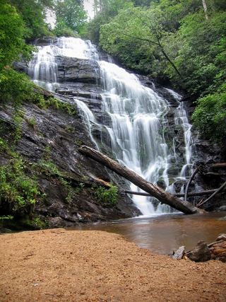 King Creek FallsResearched visit notes66 ft (20 m) · Oconee County, SC3.4 miW
- Miuka FallsNational forest trail from SC 107 near Cherry HillOconee County, SC3.4 miSW
- Lower Miuka FallsOconee County, SC3.4 miSW
- Little Miuka FallsOconee County, SC3.5 miSW