Windy Falls
Transylvania County, North Carolina
Your visit at a glance
- Waterfall height
- 197 ft (60 m)
- Location
- Transylvania County, North Carolina
- Access status
- Partial guide: unofficial route to the top of a dangerous falls; trail name not in the current park trail list
- The walk
- About 1.5 miles each way to the campsite above the falls
- Ground & access
- Old roads and unofficial paths. The slanted rock at the top is slippery; do not go out on it. The descent beside the falls is extremely steep, needs ropes and is not part of this guide.
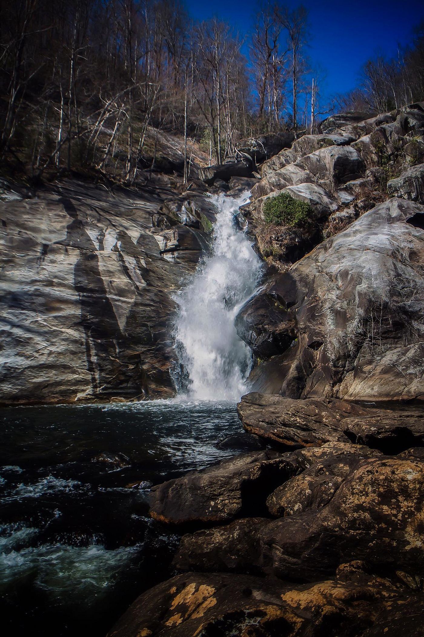
Windy Falls is a very tall series of falls and cascades on the Horsepasture River, where the river drops about 720 feet in a quarter mile. Waterfall Hero says it is in Toxaway Game Land and reached through Gorges State Park. From the Rainbow Falls trailhead parking at the Grassy Ridge Access, follow the blue-blazed Raymond Fisher Trail and turn left at an intersection to stay on it. At 0.4 miles turn right on gravel Chestnut Mountain Road, and after about 0.1 miles turn left into the woods on an old road at a boulder. Follow it down to another old road and continue straight to a campsite on the river at the top of the falls. Return the same way. Both sources warn against going down beside the falls; NC Waterfalls says people have died there. Waterfall Hero needed ropes on that descent. The route description dates from 2021.
Plan your visit
Unofficial route from the Rainbow Falls trailhead in Gorges State Park on old roads to a campsite on the Horsepasture River at the top of Windy Falls
Waterfall Hero gives a total of 1.5 miles on trails and old roads to the campsite above Windy Falls, and a 3.4 mile hike length including the descent beside the falls.
Old roads and unofficial paths. The slanted rock at the top is slippery; do not go out on it. The descent beside the falls is extremely steep, needs ropes and is not part of this guide.
Where to start
Rainbow Falls trailhead parking in the Grassy Ridge Access of Gorges State Park, off NC 281 just south of US 64. Published trailhead coordinates: 35.08947, -82.95181.
Timing & water
Gorges State Park hours apply to the trailhead (October 7 a.m. to 9 p.m., November 7 a.m. to 8 p.m.). Raymond Fisher Trail is not in the current park trail table, so its present name and status were not confirmed.
Before you go
NC State Parks says no fees are required for day use of Gorges State Park. Toxaway Game Land rules are not covered here.
Visitor informationVisit sources
More waterfalls nearby
Within 40 straight-line miles. Road and trail distances will differ.
- Hen Tail FallsTransylvania County, NC0.2 miS
- Rooster Tail FallsTransylvania County, NC0.2 miS
- Standing Up Rock FallsTransylvania County, NC0.4 miS
- Sidepocket FallsPartial guide: rough unmaintained path below Stairway Falls; route last described in detail in 200349 ft (15 m) · Transylvania County, NC0.5 miN
- Stairway FallsState park trailhead; unofficial side path in the national forest39 ft (12 m) · Transylvania County, NC0.8 miN
- Rainbow FallsMarked trail from Gorges State Park; steep, popular hike128 ft (39 m) · Transylvania County, NC1.3 miN
- Rudis FallsTransylvania County, NC1.3 miS
- Turtleback FallsState park trailhead; national forest trail13 ft (4 m) · Transylvania County, NC1.4 miN
- Hilliard FallsLong backcountry trail hike; about 12 miles returnTransylvania County, NC1.4 miS