Lower Whitewater Falls
Oconee County, South Carolina
Your visit at a glance
- Waterfall height
- Not recorded
- Location
- Oconee County, South Carolina
- The walk
- 3.8 miles round trip
- Ground & access
- Conservancy rates the route moderate. Stay on the viewing-platform route rather than unmaintained approaches to the base.
Use Bad Creek’s Foothills Trail access and the Lower Whitewater Falls route to the viewing platform. This is the South Carolina waterfall, separate from Upper Whitewater Falls in North Carolina.
Plan your visit
Bad Creek trailhead to Lower Whitewater viewing platform
Foothills Trail Conservancy gives 1.9 miles each way to the falls; the 0.8-mile Bad Creek spur alone is not the whole hike.
Conservancy rates the route moderate. Stay on the viewing-platform route rather than unmaintained approaches to the base.
Where to start
The county’s 2026 guide directs visitors through Duke Energy’s Bad Creek gate on SC 130, then two miles to the signed large trailhead parking area.
Timing & water
Check current access and conditions before travel; the reviewed source does not establish a reliable visiting season.
Before you go
Fees, permits and reservation requirements for this visit have not been confirmed; check with the land manager.
Visitor informationMore waterfalls nearby
Within 40 straight-line miles. Road and trail distances will differ.
- Wright Creek FallsPartial guide: boat access only; lake route not publishedOconee County, SC1.1 miSE
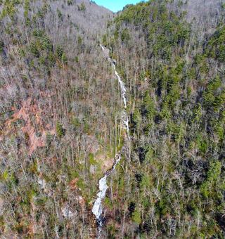 Corbin Creek FallsFee recreation area; maintained trail reaches only the lowest section of a long cascadeTransylvania County, NC1.7 miNW
- Double Spring Mountain FallsOconee County, SC1.8 miSE
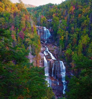 Upper Whitewater FallsResearched visit notes410 ft (125 m) · Transylvania County, NC1.9 miNW
- Big FallsPartial guide: unofficial trail, dangerous ford and scramble; parking and land permission details unconfirmed197 ft (60 m) · Transylvania County, NC2.1 miN
- Standing Stone FallsTransylvania County, NC2.2 miN
- Rich FallsOld logging road, river wade and very steep side pathTransylvania County, NC2.4 miN
- Waddle Branch FallsTransylvania County, NC2.6 miNW
- Hidden Dome FallsNational forest; river ford and off-trail route, very difficultTransylvania County, NC2.7 miN