Secret Falls
Macon County, North Carolina
Your visit at a glance
- Waterfall height
- Not recorded
- Location
- Macon County, North Carolina
- Access status
- Forest Service trail with steps to the base; road gated in winter
- The walk
- About 1.4 miles return
- Ground & access
- Blue-blazed Forest Service trail with two creek crossings and a long set of steps down to the base. Rocks near the smaller downstream drop are slippery.
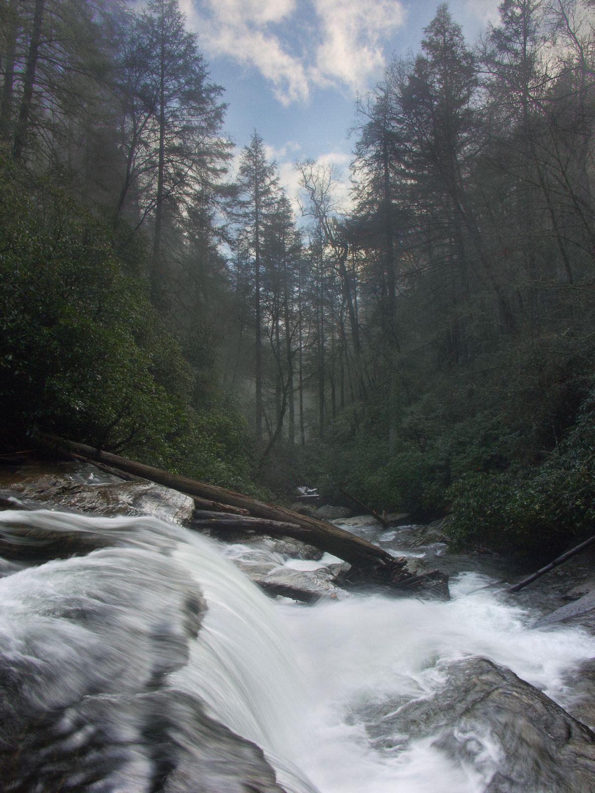
From the far right corner of the parking area (back to the road), follow the trail along an old forest road, level for 0.25 miles, then down to a small stream crossing at 0.4 miles. Continue to a second creek crossing on a footlog, climb 0.1 miles to a junction and take the more obvious path left. Descend less than 0.1 miles to a long series of Forest Service steps to the base of the 53-foot falls, which has a pool and sandy beach.
Plan your visit
Big Shoals Trail from the FS 4567 trailhead to Secret Falls on Big Creek
NCWaterfalls gives a hike distance of 0.7 miles from the trailhead. Same trail both ways. If FS 4567 is gated, add the road walk.
Blue-blazed Forest Service trail with two creek crossings and a long set of steps down to the base. Rocks near the smaller downstream drop are slippery.
Where to start
Small trailhead on FS 4567. From NC 28, 4.1 miles south of US 64 in Highlands, turn left on Rich Gap Road (SR 1710), go 0.6 miles, turn right on FS 4567 and drive 2.0 miles. From Horse Cove Road, turn on Walking Stick Road (SR 1608), which has a creek ford, and reach FS 4567 in 3.0 miles.
Timing & water
FS 4567 is closed to vehicles in winter, typically December 15 to March 15; foot travel is allowed, so park at the gate and walk the road.
Before you go
Current fees and reservation requirements unknown.
Visitor informationVisit sources
More waterfalls nearby
Within 40 straight-line miles. Road and trail distances will differ.
- Slick Stick FallsPartial guide: no trail; bushwhack and creekwalk onlyMacon County, NC1.0 miN
- Lower Stick FallsPartial: short but steep bushwhack near cliffs; no trailMacon County, NC1.1 miN
- Stick FallsNational forest; short bushwhack with a cliffMacon County, NC1.2 miN
- Little Creek FallsPartial guide: steep bushwhack finish, parking spot not describedMacon County, NC1.4 miN
- Lower Satulah FallsDistant roadside view from an overlook; no access closerMacon County, NC1.8 miNW
- Walkingstick FallsPartial guide: roadside view only; private land and no parking spot describedMacon County, NC2.1 miN
- Satulah FallsSafe stopping location unconfirmedMacon County, NC2.4 miNW
- Pothole FallsRoadside bridge view; scramble to the baseMacon County, NC2.7 miE
- Cane Creek FallsPartial guide: no trail, steep bushwhack from a gated forest roadMacon County, NC2.8 miNE