Chau Ram Falls
Oconee County, South Carolina
Your visit at a glance
- Waterfall height
- Not recorded
- Location
- Oconee County, South Carolina
- Access status
- County park with an accessible waterfall view near parking
- The walk
- Short walk from the parking area; no distance is published
- Ground & access
- Accessible route to the waterfall. Other park trails are steep, rugged and hiking-only.
Chau Ram Falls, also called Ramsey Creek Falls, is a 40-foot falls where Ramsey Creek cascades over large boulders into the Chauga River in Chau Ram County Park, run by Oconee County. From Westminster, take US 76 west, keep right at the fork with US 123 for another 2.5 miles, and turn left on Chau Ram Park Road to the park entrance. Pay at the fee booth; parking is just beyond it. The falls are a short, accessible walk from parking. The park also has a 160-foot suspension bridge over the Chauga River and steeper hiking-only trails.
Plan your visit
Chau Ram County Park entrance and fee booth, parking area, short walk to the waterfall where Ramsey Creek enters the Chauga River
Oconee County describes the 40-foot waterfall as handicap accessible. No walking distance is published.
Accessible route to the waterfall. Other park trails are steep, rugged and hiking-only.
Where to start
Parking inside Chau Ram County Park, 1220 Chau Ram Park Road, Westminster, just past the fee booth, or on the lower-level lot via the park road loop.
Timing & water
Gate closed from dusk to 7 a.m. The campground closes from mid-November to March 1; no day-use closure is stated.
Before you go
Oconee County park entry: $5 for all parking. Annual passes are sold by the county.
Visitor informationVisit sources
More waterfalls nearby
Within 40 straight-line miles. Road and trail distances will differ.
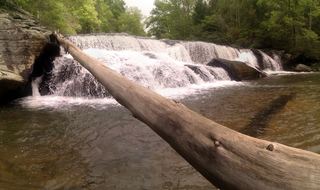 Riley Moore FallsResearched visit notes12 ft (3.6 m) · Oconee County, SC4.5 miNW
- Blue Hole FallsParking location and current route condition unconfirmed8 ft (2.5 m) · Oconee County, SC6.0 miNW
- Cedar Creek FallsPartial guide: informal side path from an old forest road; position matched by descriptionOconee County, SC6.1 miNW
- Longnose Creek FallsOconee County, SC6.7 miW
- Yellow Branch FallsResearched route and starting areaOconee County, SC7.8 miN
- Lohr's FallsOconee County, SC8.0 miN
- Double Branch FallsOconee County, SC8.5 miNW
- Bone Camp Creek FallsOconee County, SC8.7 miN
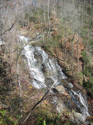 Isaqueena FallsCity park trail to the viewing platform documented; vehicle feeOconee County, SC8.7 miN