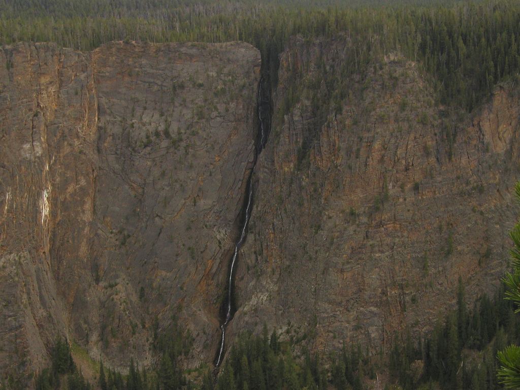
Silver Cord Cascade
1,214 ft (370 m) · Park County, WY
71 named waterfalls in 9 counties. Browse mapped locations and recorded heights. A map listing does not confirm public access or a walking route.
Read the walking route, starting point and current access notes.
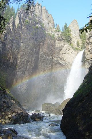 Tower FallSource-reviewed route and parking131 ft (40 m) · Park County, WY
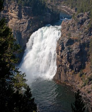 Upper Yellowstone FallsResearched walking route108 ft (33 m) · Park County, WY
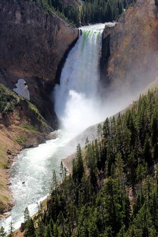 Lower Yellowstone FallsResearched visit notes308 ft (94 m) · Park County, WY
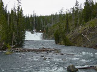 Lewis FallsOfficial viewing facilities identified; post-construction pedestrian approach unconfirmed30 ft (9.1 m) · Teton County, WY
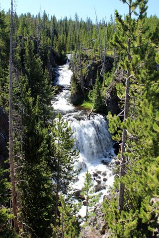 Kepler CascadesAccessible parking and boardwalk documented; walking distance unknown49 ft (15 m) · Teton County, WY
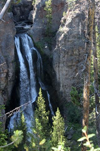 Crystal FallsCanyon rim trail view from a national park viewpoint parking areaPark County, WY
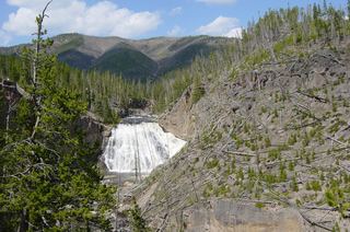 Gibbon FallsResearched visit notes85 ft (26 m) · Teton County, WY
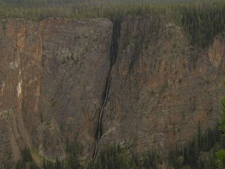 Silver Cord CascadeParking and canyon-rim viewing route documented; exact viewpoint distance unknown1,214 ft (370 m) · Park County, WY
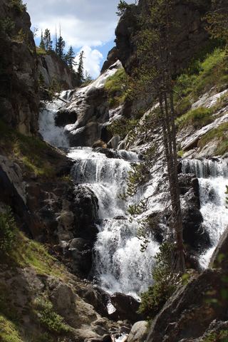 Mystic FallsNational park trail to the falls69 ft (21 m) · Teton County, WY
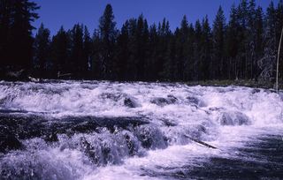 Bechler FallsOctober 27, 2026: regional snow and ice reported; Cave Falls Road condition unverified15 ft (4.6 m) · Teton County, WY
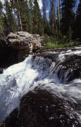 Moose FallsResearched walking route30 ft (9.1 m) · Teton County, WY
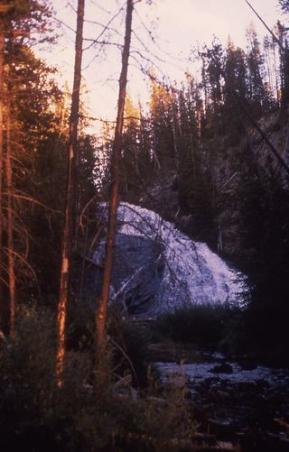 Virginia CascadesPartial guide: documented roadside approach has traffic and cliff hazards; current access unverified59 ft (18 m) · Park County, WY
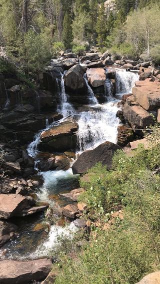 Middle Fork FallsNational forest trail from Bruce's Parking Area in Sinks Canyon to the fallsFremont County, WY
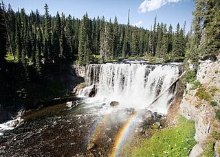 Iris FallsSnow and ice reported; historical route and parking gap45 ft (13.7 m) · Teton County, WY
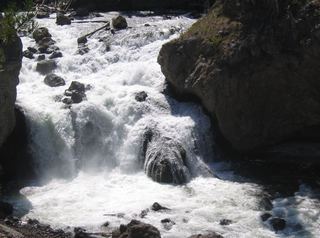 Firehole FallsSource-reviewed route and parkingTeton County, WY
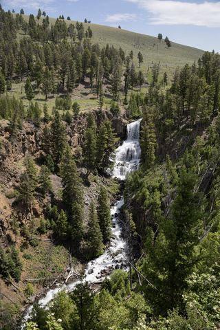 Undine FallsRoadside overlook in the national park59 ft (18 m) · Park County, WY
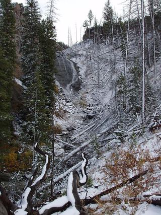 Wraith FallsResearched visit notesPark County, WY
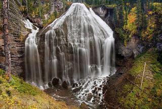 Union FallsResearched visit notesTeton County, WY
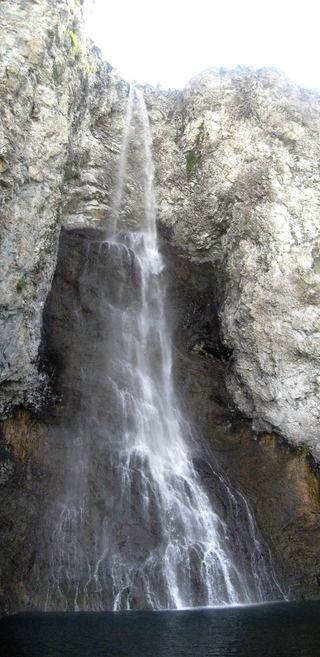 Fairy FallsResearched visit notes200 ft (61 m) · Teton County, WY
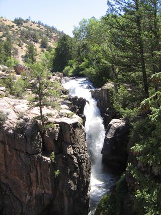 Shell FallsClosed to public entry for constructionBig Horn County, WY
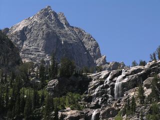 Shoshoko FallsPartial guide: unmaintained route in the national parkTeton County, WY
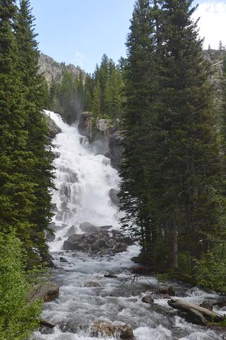 Hidden FallsNational park lakeshore trail or shuttle boat and short trail; entrance feeTeton County, WY
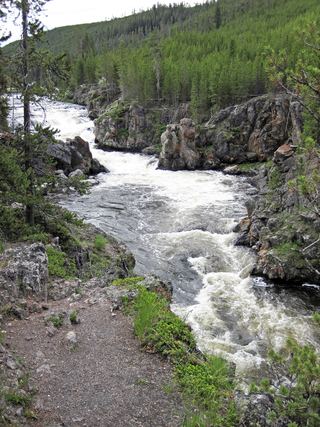 Cascades of the FireholeRoadside pulloff and a short walk on an old roadTeton County, WY
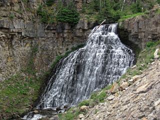 Rustic FallsRoadside falls with small pulloutsPark County, WY
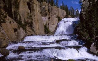 Terraced FallsShort signed national park trail from a Grassy Lake Road trailheadTeton County, WY
1,214 ft (370 m) · Park County, WY
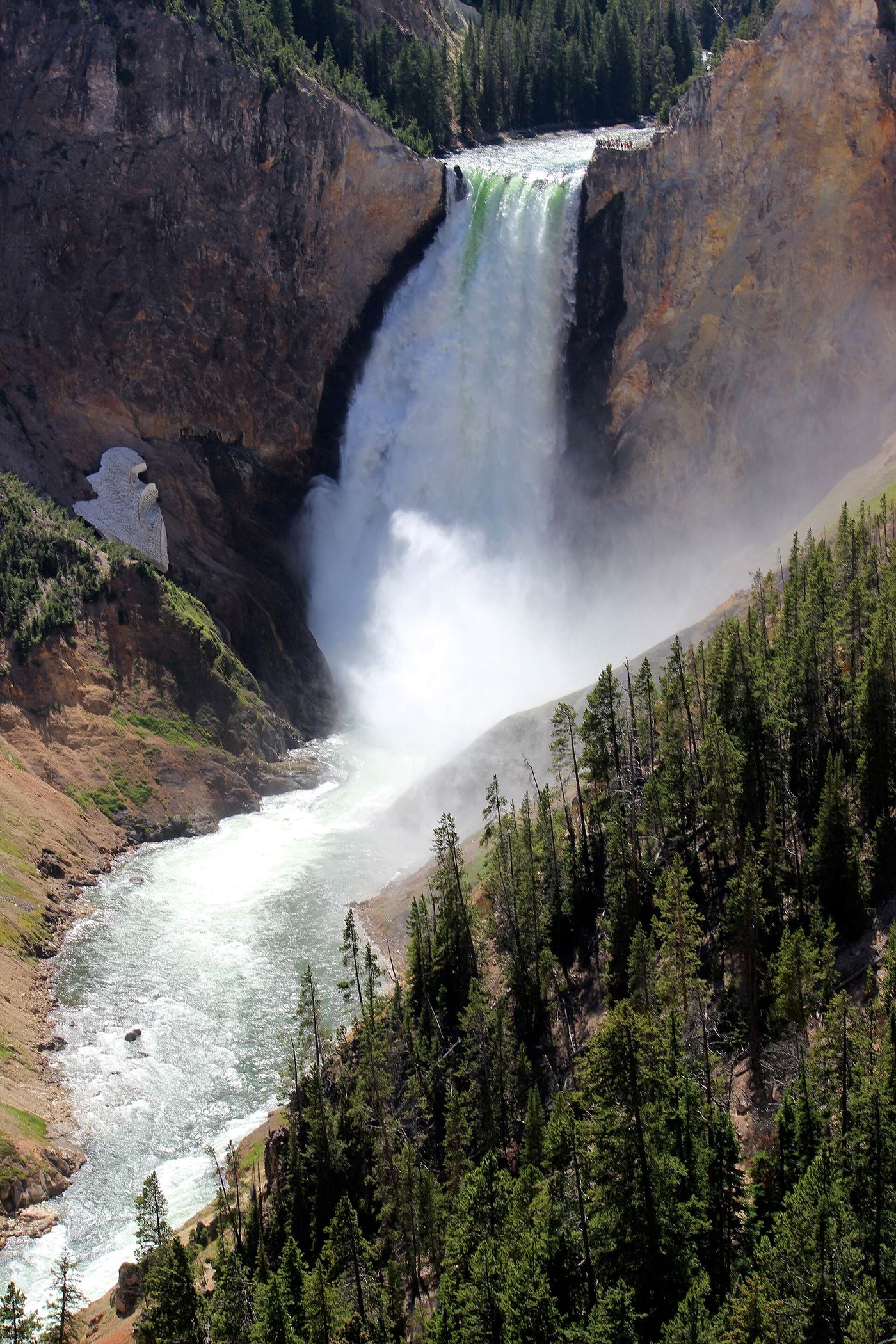
308 ft (94 m) · Park County, WY
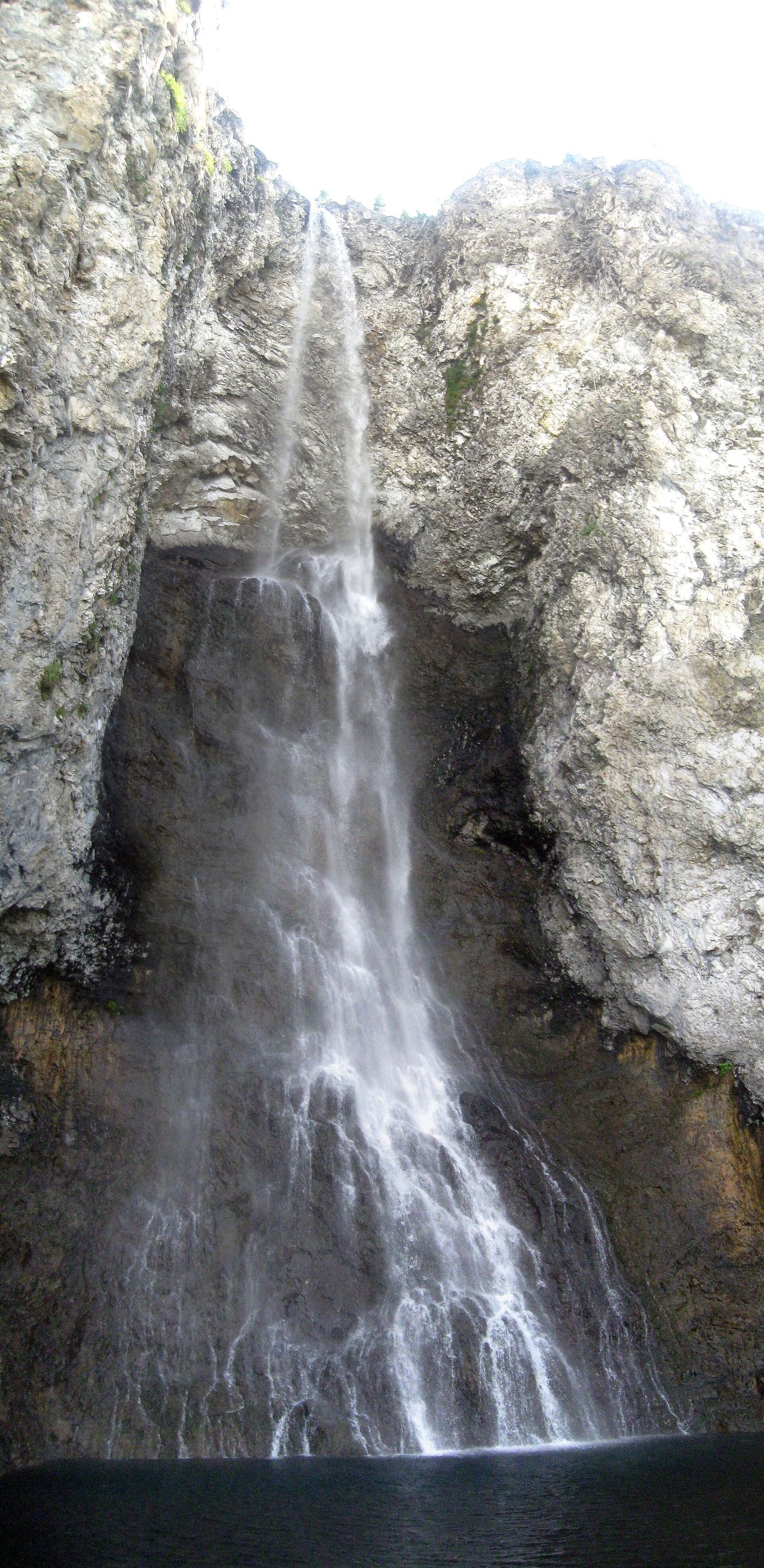
200 ft (61 m) · Teton County, WY
Tower FallSource-reviewed route and parking131 ft (40 m) · Park CountyUpper Yellowstone FallsResearched walking route108 ft (33 m) · Park CountyGibbon FallsResearched visit notes85 ft (26 m) · Teton CountyMystic FallsNational park trail to the falls69 ft (21 m) · Teton CountyVirginia CascadesPartial guide: documented roadside approach has traffic and cliff hazards; current access unverified59 ft (18 m) · Park CountyUndine FallsRoadside overlook in the national park59 ft (18 m) · Park CountyKepler CascadesAccessible parking and boardwalk documented; walking distance unknown49 ft (15 m) · Teton CountyIris FallsSnow and ice reported; historical route and parking gap45 ft (13.7 m) · Teton CountyBechler FallsOctober 27, 2026: regional snow and ice reported; Cave Falls Road condition unverified15 ft (4.6 m) · Teton CountyCascades of the FireholeRoadside pulloff and a short walk on an old roadTeton CountyFairy FallsResearched visit notes200 ft (61 m) · Teton CountyFirehole FallsSource-reviewed route and parkingTeton CountyGibbon FallsResearched visit notes85 ft (26 m) · Teton CountyHidden FallsNational park lakeshore trail or shuttle boat and short trail; entrance feeTeton CountyIris FallsSnow and ice reported; historical route and parking gap45 ft (13.7 m) · Teton CountyKepler CascadesAccessible parking and boardwalk documented; walking distance unknown49 ft (15 m) · Teton CountyLewis FallsOfficial viewing facilities identified; post-construction pedestrian approach unconfirmed30 ft (9.1 m) · Teton CountyMoose FallsResearched walking route30 ft (9.1 m) · Teton CountyMystic FallsNational park trail to the falls69 ft (21 m) · Teton CountyShoshoko FallsPartial guide: unmaintained route in the national parkTeton CountyTerraced FallsShort signed national park trail from a Grassy Lake Road trailheadTeton CountyUnion FallsResearched visit notesTeton CountyCrystal FallsCanyon rim trail view from a national park viewpoint parking areaPark CountyLower Yellowstone FallsResearched visit notes308 ft (94 m) · Park CountyRustic FallsRoadside falls with small pulloutsPark CountySilver Cord CascadeParking and canyon-rim viewing route documented; exact viewpoint distance unknown1,214 ft (370 m) · Park CountyTower FallSource-reviewed route and parking131 ft (40 m) · Park CountyUndine FallsRoadside overlook in the national park59 ft (18 m) · Park CountyUpper Yellowstone FallsResearched walking route108 ft (33 m) · Park CountyVirginia CascadesPartial guide: documented roadside approach has traffic and cliff hazards; current access unverified59 ft (18 m) · Park CountyWraith FallsResearched visit notesPark CountyMiddle Fork FallsNational forest trail from Bruce's Parking Area in Sinks Canyon to the fallsFremont County