Wraith Falls
Park County, Wyoming
Your visit at a glance
- Waterfall height
- Not recorded
- Location
- Park County, Wyoming
- The walk
- 1 mile return
- Ground & access
- Final 245 feet are steep, rocky and stepped; NPS says the trail is not accessible.
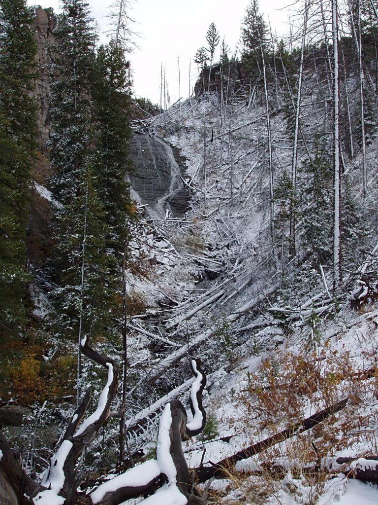
Walk through meadows and conifer forest to Wraith Falls on Lupine Creek.
Plan your visit
Wraith Falls Trail
NPS explicitly labels the distance as there-and-back.
Final 245 feet are steep, rocky and stepped; NPS says the trail is not accessible.
Where to start
Trailhead lot at the pullout half a mile east of Lava Creek Picnic Area on Grand Loop Road.
Timing & water
NPS lists year-round use. Its 2026-05-18 report says the trail is clear; recheck weather before travel.
Before you go
NPS lists no hike reservation or activity fee; park entrance fees may apply.
Visitor informationVisit sources
More waterfalls nearby
Within 40 straight-line miles. Road and trail distances will differ.
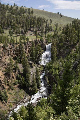 Undine FallsRoadside overlook in the national park59 ft (18 m) · Park County, WY1.0 miNW
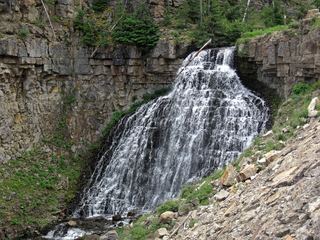 Rustic FallsRoadside falls with small pulloutsPark County, WY5.0 miW
- Lost Creek FallsWaterfall spur closure needs confirmationPark County, WY10 miE
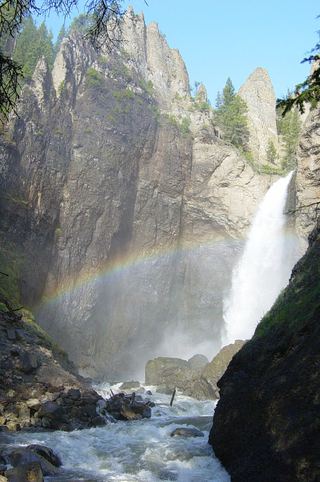 Tower FallSource-reviewed route and parking131 ft (40 m) · Park County, WY12 miE
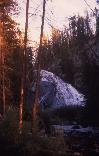 Virginia CascadesPartial guide: documented roadside approach has traffic and cliff hazards; current access unverified59 ft (18 m) · Park County, WY16 miS
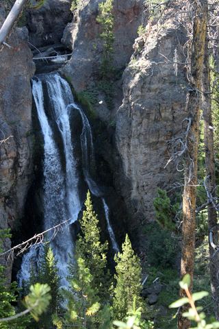 Crystal FallsCanyon rim trail view from a national park viewpoint parking areaPark County, WY16 miS
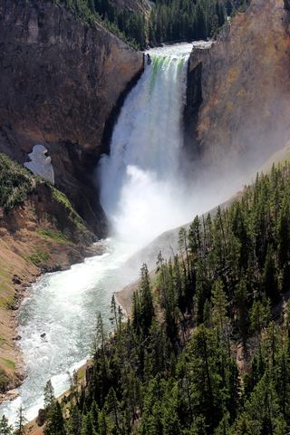 Lower Yellowstone FallsResearched visit notes308 ft (94 m) · Park County, WY16 miS
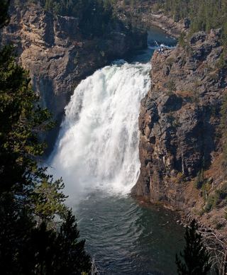 Upper Yellowstone FallsResearched walking route108 ft (33 m) · Park County, WY17 miS
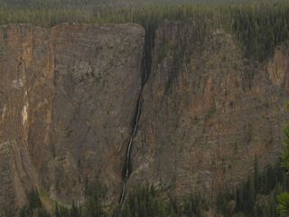 Silver Cord CascadeParking and canyon-rim viewing route documented; exact viewpoint distance unknown1,214 ft (370 m) · Park County, WY17 miSE