Virginia Cascades
Park County, Wyoming
Your visit at a glance
- Waterfall height
- 59 ft (18 m)
- Location
- Park County, Wyoming
- Access status
- Partial guide: documented roadside approach has traffic and cliff hazards; current access unverified
- The walk
- Approximately 0.4 mile each way along the road; about 0.8 mile return, derived from published road milepoints
- Ground & access
- Road walking beside vehicle traffic on a narrow, winding road with paved and gravel sections. The account describes steep dropoffs and sections without guardrails; no protected sidewalk is verified. Remain behind barriers and do not climb guardrails or attempt an unverified descent to the waterfall.
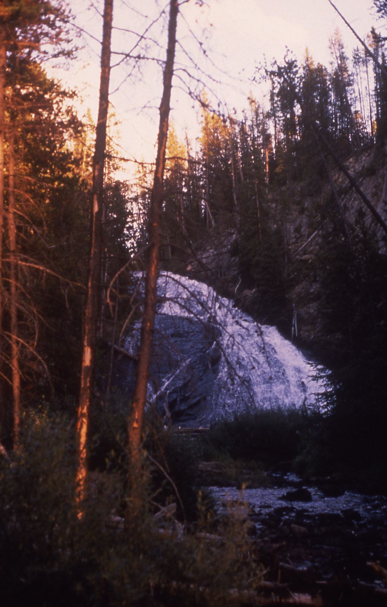
Photo credit
Photo: Rose Heil, Public domain, via Wikimedia CommonsAn October 2, 2026 firsthand account documents parking east of Virginia Cascades and walking back along the scenic road. Views through trees are obstructed. The account does not establish a protected pedestrian route, and the narrow road runs beside cliff edges. This is a documented roadside approach, not an unqualified hiking recommendation.
Plan your visit
Virginia Cascades roadside viewing area from the documented eastern pullout
Anne’s Travels places the pullout actually used at drive mile 1.5 and the falls viewing area at mile 1.1. Their difference gives approximately 0.4 mile one way, or 0.8 mile return. This is a derived road-walking distance, not a measured trail length. NPS’s three-mile scenic-drive figure is not a walking distance.
Road walking beside vehicle traffic on a narrow, winding road with paved and gravel sections. The account describes steep dropoffs and sections without guardrails; no protected sidewalk is verified. Remain behind barriers and do not climb guardrails or attempt an unverified descent to the waterfall.
Where to start
Anne’s Travels reports actually using the south/right pullout at drive mile 1.5: 44.712817, -110.639040. The author then walked back toward the falls viewing area at mile 1.1: 44.713244, -110.647441. These are source-published coordinates. Current pullout availability and pedestrian access require confirmation.
Timing & water
The reviewed October 2, 2026 article documents a visit but does not establish the side road’s current opening status. Confirm current road and pedestrian access with NPS before visiting. NPS says the drive may be available for cross-country skiing in winter.
Before you go
Fees and booking requirements for this stop are not stated in the reviewed source.
Visitor informationVisit sources
More waterfalls nearby
Within 40 straight-line miles. Road and trail distances will differ.
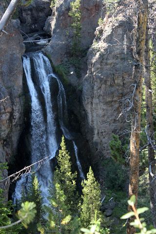 Crystal FallsCanyon rim trail view from a national park viewpoint parking areaPark County, WY7.2 miE
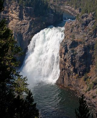 Upper Yellowstone FallsResearched walking route108 ft (33 m) · Park County, WY7.3 miE
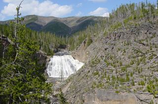 Gibbon FallsResearched visit notes85 ft (26 m) · Teton County, WY7.3 miSW
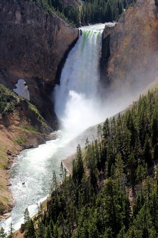 Lower Yellowstone FallsResearched visit notes308 ft (94 m) · Park County, WY7.4 miE
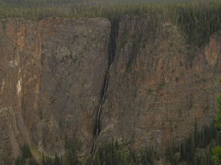 Silver Cord CascadeParking and canyon-rim viewing route documented; exact viewpoint distance unknown1,214 ft (370 m) · Park County, WY9.7 miE
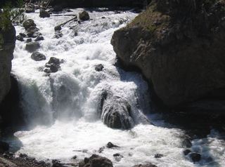 Firehole FallsSource-reviewed route and parkingTeton County, WY12 miSW
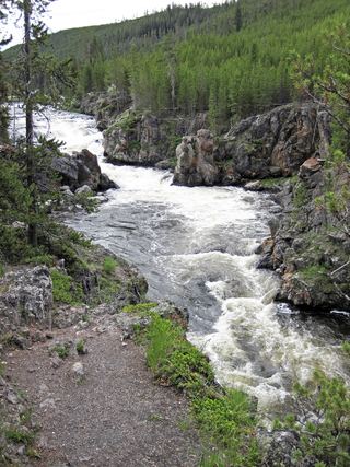 Cascades of the FireholeRoadside pulloff and a short walk on an old roadTeton County, WY12 miSW
 Wraith FallsResearched visit notesPark County, WY16 miN
 Rustic FallsRoadside falls with small pulloutsPark County, WY16 miN