Undine Falls
Park County, Wyoming
Your visit at a glance
- Waterfall height
- 59 ft (18 m)
- Location
- Park County, Wyoming
- Access status
- Roadside overlook in the national park
- The walk
- A few steps from the pullout to the overlook; no distance is published
- Ground & access
- Short walk to a roadside overlook; forest trail for the closer approach.
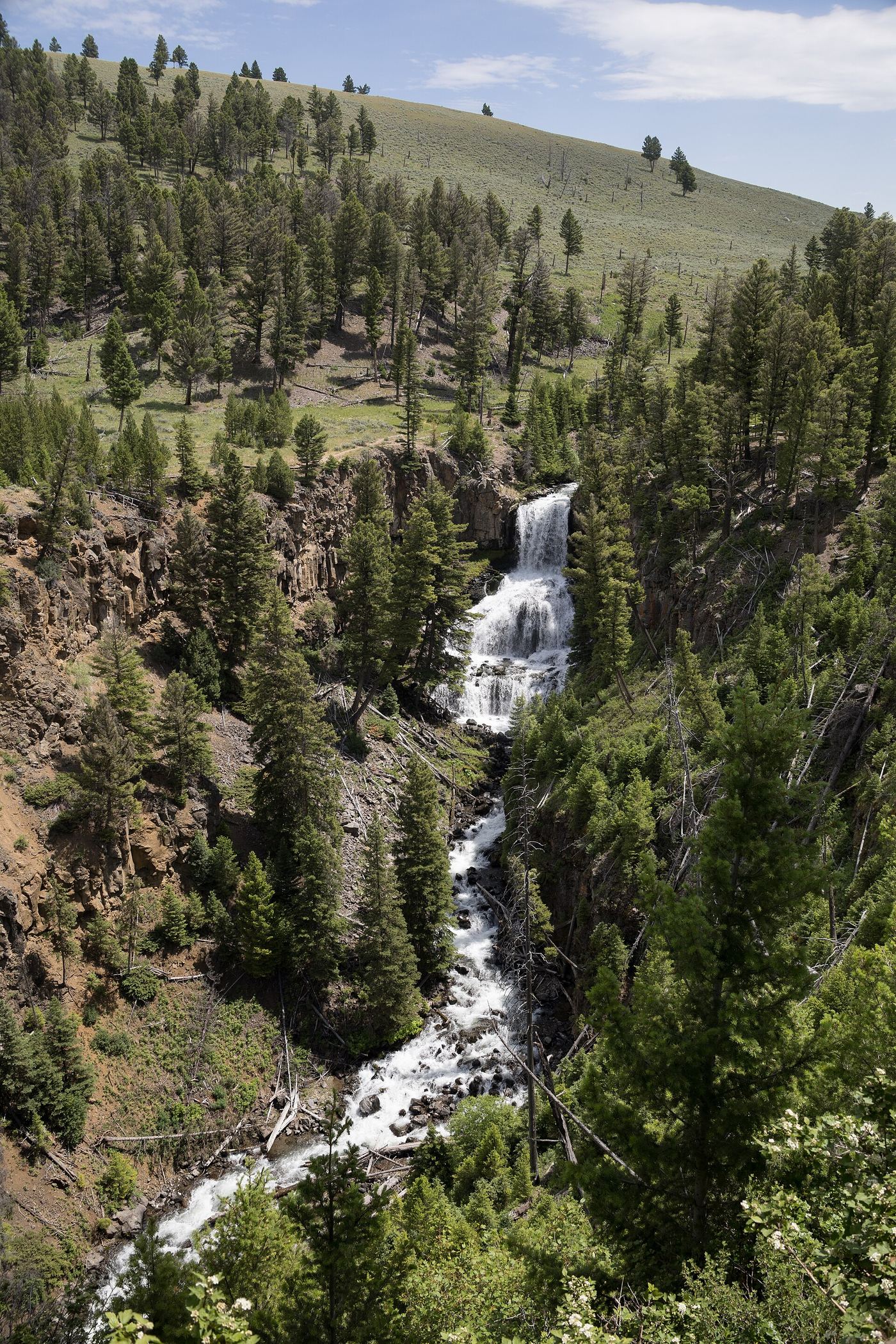
Undine Falls is a 60-foot falls in three drops on Lava Creek in the Mammoth Hot Springs area of Yellowstone National Park. Park at the large roadside pullout on the Grand Loop Road and walk to the adjacent overlook. For a closer approach, park at the Lava Creek Picnic Area, east of the pullout, and walk the Lava Creek Trail from the trailhead across the road toward the falls. The bridge across the Gardner River at the other end of the Lava Creek Trail washed out, so the trail is only reached from the picnic area side. Return the same way. Pets are not allowed on the trail.
Plan your visit
Large roadside pullout on the Grand Loop Road west of the Lava Creek Picnic Area, Mammoth Hot Springs area, with an overlook beside it; or the Lava Creek Trail from across the road from the picnic area
World of Waterfalls describes walking from the large roadside pullout straight to the adjacent overlook. The NPS Lava Creek Trail passes the falls but the distance from the picnic area to the falls is not stated.
Short walk to a roadside overlook; forest trail for the closer approach.
Where to start
Large roadside pullout beside the falls overlook, or the Lava Creek Picnic Area east of it.
Timing & water
The National Park Service lists the Lava Creek Trail as open year round.
Before you go
A Yellowstone entrance pass is required; the park lists standard entrance passes at $20 to $35.
Visitor informationVisit sources
More waterfalls nearby
Within 40 straight-line miles. Road and trail distances will differ.
 Wraith FallsResearched visit notesPark County, WY1.0 miSE
 Rustic FallsRoadside falls with small pulloutsPark County, WY4.2 miW
- Lost Creek FallsWaterfall spur closure needs confirmationPark County, WY11 miE
 Tower FallSource-reviewed route and parking131 ft (40 m) · Park County, WY13 miE
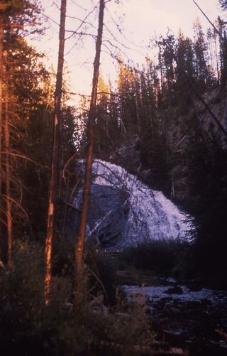 Virginia CascadesPartial guide: documented roadside approach has traffic and cliff hazards; current access unverified59 ft (18 m) · Park County, WY16 miS
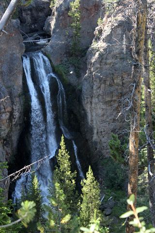 Crystal FallsCanyon rim trail view from a national park viewpoint parking areaPark County, WY17 miSE
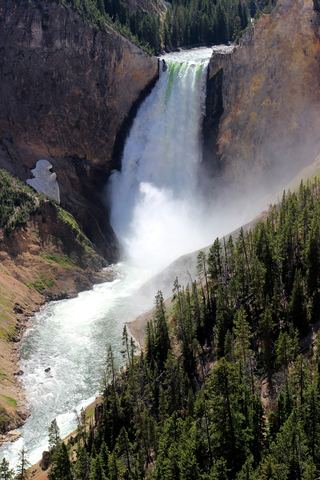 Lower Yellowstone FallsResearched visit notes308 ft (94 m) · Park County, WY17 miSE
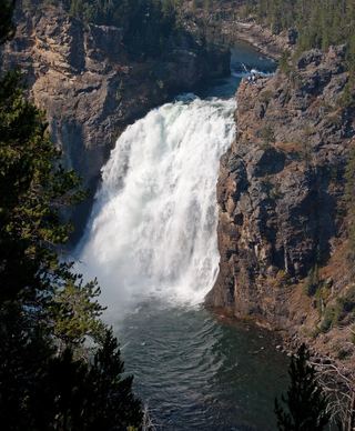 Upper Yellowstone FallsResearched walking route108 ft (33 m) · Park County, WY17 miSE
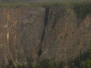 Silver Cord CascadeParking and canyon-rim viewing route documented; exact viewpoint distance unknown1,214 ft (370 m) · Park County, WY18 miSE