Union Falls
Teton County, Wyoming
Your visit at a glance
- Waterfall height
- Not recorded
- Location
- Teton County, Wyoming
- The walk
- Long backcountry hike; exact total not established here
- Ground & access
- Unbridged swift-water crossing, remote forest trail and slippery waterfall terrain. The older NPS narrative describes difficult road travel and recommends high clearance; its historical swimming and reservation details are not current guidance.
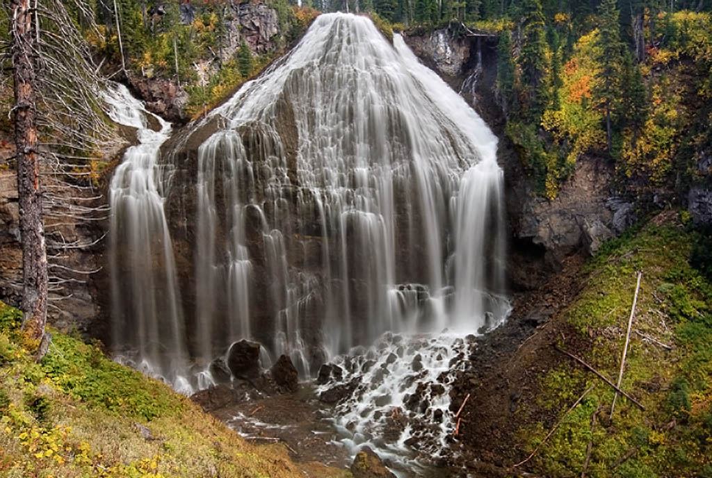
Start at Grassy Lake trailhead on the reservoir’s western edge, hike into Yellowstone and continue on the main trail beyond the Ouzel Pool branch to Union Falls overlook.
Plan your visit
Grassy Lake trailhead to Union Falls overlook
The NPS route narrative gives intermediate campsite and junction distances rather than one unambiguous total. Plan the entire route with a current map rather than adding those approximate segments.
Unbridged swift-water crossing, remote forest trail and slippery waterfall terrain. The older NPS narrative describes difficult road travel and recommends high clearance; its historical swimming and reservation details are not current guidance.
Where to start
Grassy Lake trailhead parking is on the north side of Grassy Lake Road at the reservoir’s western edge. The trail leaves the lot’s west side.
Timing & water
NPS update October 25, 2026 reports wet, snowy and icy trails. Grassy Lake Road was reported open June 3; verify current seasonal road status. A beaver-dam-affected area west of campsite 9U1 requires caution.
Before you go
Obtain current Yellowstone wilderness camping permits if staying overnight; do not rely on the 2012 blog’s booking procedure.
Visitor informationVisit sources
More waterfalls nearby
Within 40 straight-line miles. Road and trail distances will differ.
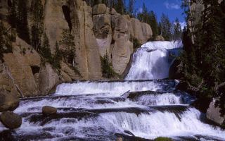 Terraced FallsShort signed national park trail from a Grassy Lake Road trailheadTeton County, WY3.1 miS
- Cascade AcresYellowstone backcountry trail from the Cascade Creek Trailhead on Grassy Lake Road; Cascade Acres is passed on the way to Terraced FallsTeton County, WY3.4 miS
- Cascade Creek FallsPartial: short informal use trail beside the trailhead; unofficial nameTeton County, WY4.5 miS
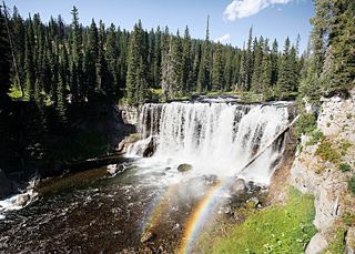 Iris FallsSnow and ice reported; historical route and parking gap45 ft (13.7 m) · Teton County, WY4.9 miNW
- Lower Colonnade FallsPartial guide: long backcountry trail with deep fords; distance from the trailhead not stated66 ft (20 m) · Teton County, WY5.0 miNW
- Upper Colonnade FallsPartial guide: long backcountry trail with deep fords; distance from the trailhead not stated36 ft (11 m) · Teton County, WY5.0 miNW
- Wahhi FallsTeton County, WY5.7 miN
- Ouzel FallsPartial guide: distant view from a long meadow trail; no trail to the falls and the distance to the viewing point is not statedTeton County, WY6.0 miNW
- Sluiceway FallsTeton County, WY6.0 miN