Cascade Creek Falls
Teton County, Wyoming
Your visit at a glance
- Waterfall height
- Not recorded
- Location
- Teton County, Wyoming
- Access status
- Partial: short informal use trail beside the trailhead; unofficial name
- The walk
- About 450 feet on an informal use trail to the first view (World of Waterfalls)
- Ground & access
- Narrow informal use trail, then off-trail scrambling with drop-off hazards.
This unsigned cascade on Cascade Creek is beside the Cascade Creek Trailhead on the Grassy Lake Road, on public land near the Caribou-Targhee National Forest and Yellowstone boundary. World of Waterfalls calls it Cascade Creek Falls, a name it made up. The trailhead is on the north side of the gravel Grassy Lake Road, just over a mile west of Grassy Lake and 11 miles west of Flagg Ranch. From the far right corner of the trailhead pullout, a narrow use trail heads down along the creek; about 450 feet along it gives a view across to the upper half of the drop. Beyond that the path fades into off-trail scrambling among fallen trees, with drop-offs in places. Return the same way. The signed Cascade Creek-Falls River Cutoff Trail from the same parking area also follows Cascade Creek toward Terraced Falls.
Plan your visit
Cascade Creek Trailhead pullout on the Grassy Lake Road west of Flagg Ranch, informal use trail from the far right corner of the pullout down along Cascade Creek to a view of the cascade
World of Waterfalls followed the narrow use trail about 450 feet to the first view, and about a quarter mile from the trailhead to a more distant view from downstream. It describes the full outing as a half-mile round-trip scramble.
Narrow informal use trail, then off-trail scrambling with drop-off hazards.
Where to start
Cascade Creek Trailhead parking area on the north side of the Grassy Lake Road, just over a mile west of Grassy Lake.
Timing & water
No season limits are stated.
Before you go
No fee is mentioned.
Visitor informationVisit sources
More waterfalls nearby
Within 40 straight-line miles. Road and trail distances will differ.
- Cascade AcresYellowstone backcountry trail from the Cascade Creek Trailhead on Grassy Lake Road; Cascade Acres is passed on the way to Terraced FallsTeton County, WY1.1 miNW
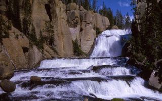 Terraced FallsShort signed national park trail from a Grassy Lake Road trailheadTeton County, WY1.6 miNW
- Polar Bear7 ft (2 m) · Teton County, WY1.7 miS
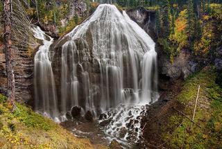 Union FallsResearched visit notesTeton County, WY4.5 miN
- Cave FallsSource-reviewed route and parkingTeton County, WY7.5 miW
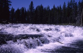 Bechler FallsOctober 27, 2026: regional snow and ice reported; Cave Falls Road condition unverified15 ft (4.6 m) · Teton County, WY8.3 miW
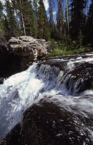 Moose FallsResearched walking route30 ft (9.1 m) · Teton County, WY8.8 miE
- Lower Colonnade FallsPartial guide: long backcountry trail with deep fords; distance from the trailhead not stated66 ft (20 m) · Teton County, WY9.0 miNW
- Upper Colonnade FallsPartial guide: long backcountry trail with deep fords; distance from the trailhead not stated36 ft (11 m) · Teton County, WY9.0 miNW