Cave Falls
Teton County, Wyoming
Your visit at a glance
- Waterfall height
- Not recorded
- Location
- Teton County, Wyoming
- Access status
- Source-reviewed route and parking
- The walk
- Short trail; measured distance unconfirmed
- Ground & access
- Short downhill path; the full trail accessibility is not established by NPS restroom accessibility.
The local Rexburg visitor directory describes a short trail down from the lower parking loop to Cave Falls, plus an upper parking viewpoint. NPS confirms the named picnic site. The cave itself is blocked after a rockfall and is not an entrance to explore.
Plan your visit
Cave Falls lower parking loop to waterfall
No numeric length published for this short approach; do not substitute the separate Bechler Falls hike.
Short downhill path; the full trail accessibility is not established by NPS restroom accessibility.
Where to start
Rexburg Online identifies upper and lower parking areas at the end of Cave Falls Road, reached from Ashton via Highway 47. Use the lower loop for its short falls trail.
Timing & water
Current access and seasonal conditions require confirmation with the land manager.
Before you go
Unknown: current fees or reservation requirements were not established in the reviewed source.
Visitor informationMore waterfalls nearby
Within 40 straight-line miles. Road and trail distances will differ.
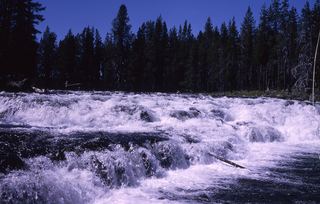 Bechler FallsOctober 27, 2026: regional snow and ice reported; Cave Falls Road condition unverified15 ft (4.6 m) · Teton County, WY0.8 miNW
- Ouzel FallsPartial guide: distant view from a long meadow trail; no trail to the falls and the distance to the viewing point is not statedTeton County, WY6.4 miN
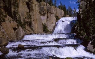 Terraced FallsShort signed national park trail from a Grassy Lake Road trailheadTeton County, WY6.5 miE
- Cascade AcresYellowstone backcountry trail from the Cascade Creek Trailhead on Grassy Lake Road; Cascade Acres is passed on the way to Terraced FallsTeton County, WY7.0 miE
- Lower Colonnade FallsPartial guide: long backcountry trail with deep fords; distance from the trailhead not stated66 ft (20 m) · Teton County, WY7.0 miN
- Upper Colonnade FallsPartial guide: long backcountry trail with deep fords; distance from the trailhead not stated36 ft (11 m) · Teton County, WY7.0 miN
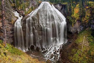 Union FallsResearched visit notesTeton County, WY7.1 miNE
- Silver Scarf FallsLong national park day hike with fords; falls a short walk from the Dunanda Falls junctionTeton County, WY7.2 miN
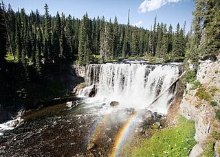 Iris FallsSnow and ice reported; historical route and parking gap45 ft (13.7 m) · Teton County, WY7.3 miN