Compare 46 Wyoming waterfall visits by the approach, terrain, and where to start. Some routes have closures or unresolved details; read the individual guide before travelling.
46 visit options
October 27, 2026: regional snow and ice reported; Cave Falls Road condition unverified
From the parking area at the end of Cave Falls Road, follow the Bechler River Trail north past the confluence of the Fall and Bechler rivers to Bechler Falls. Return on the same trail. Route and distance are documented by The American Southwest.
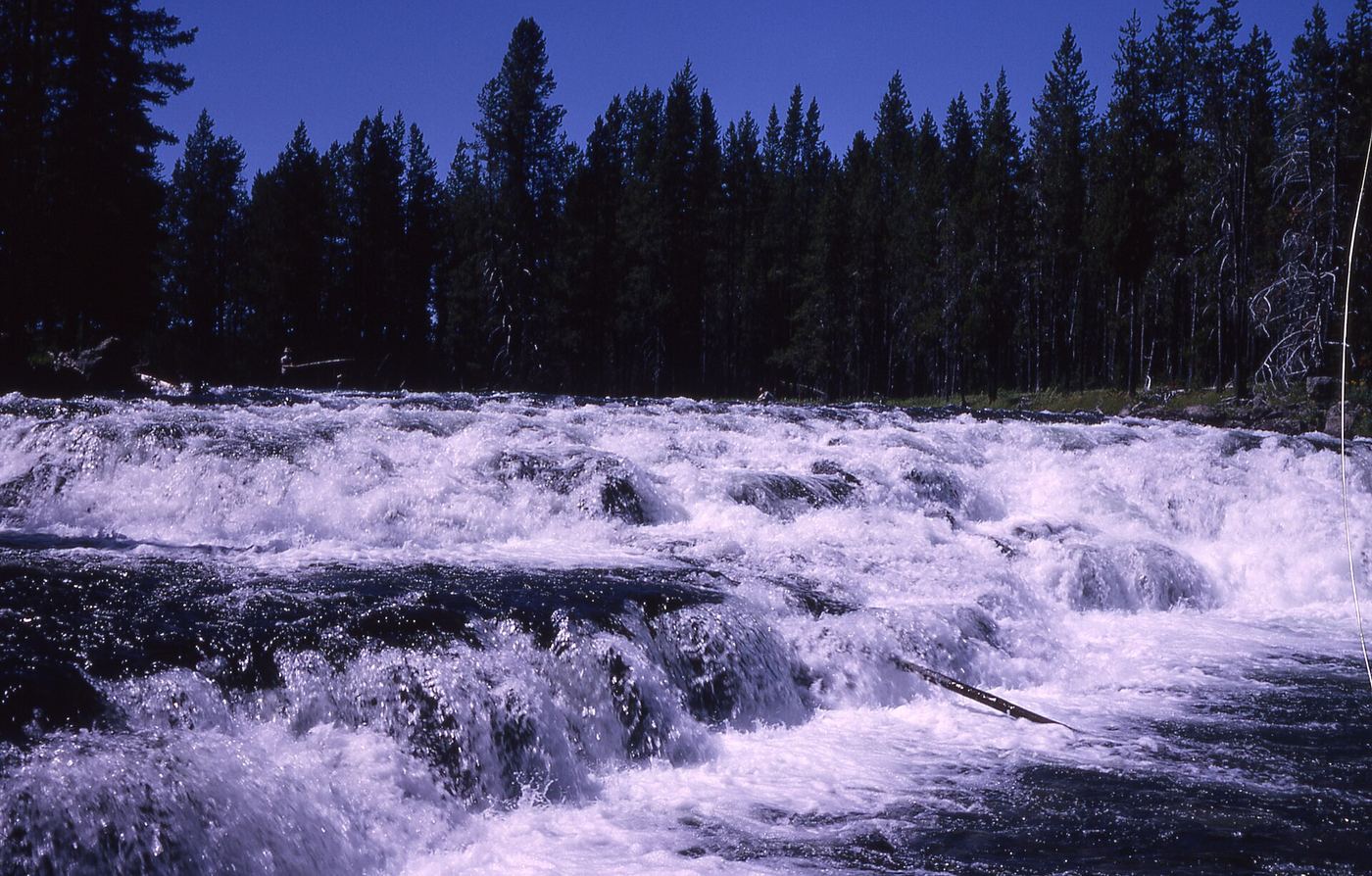
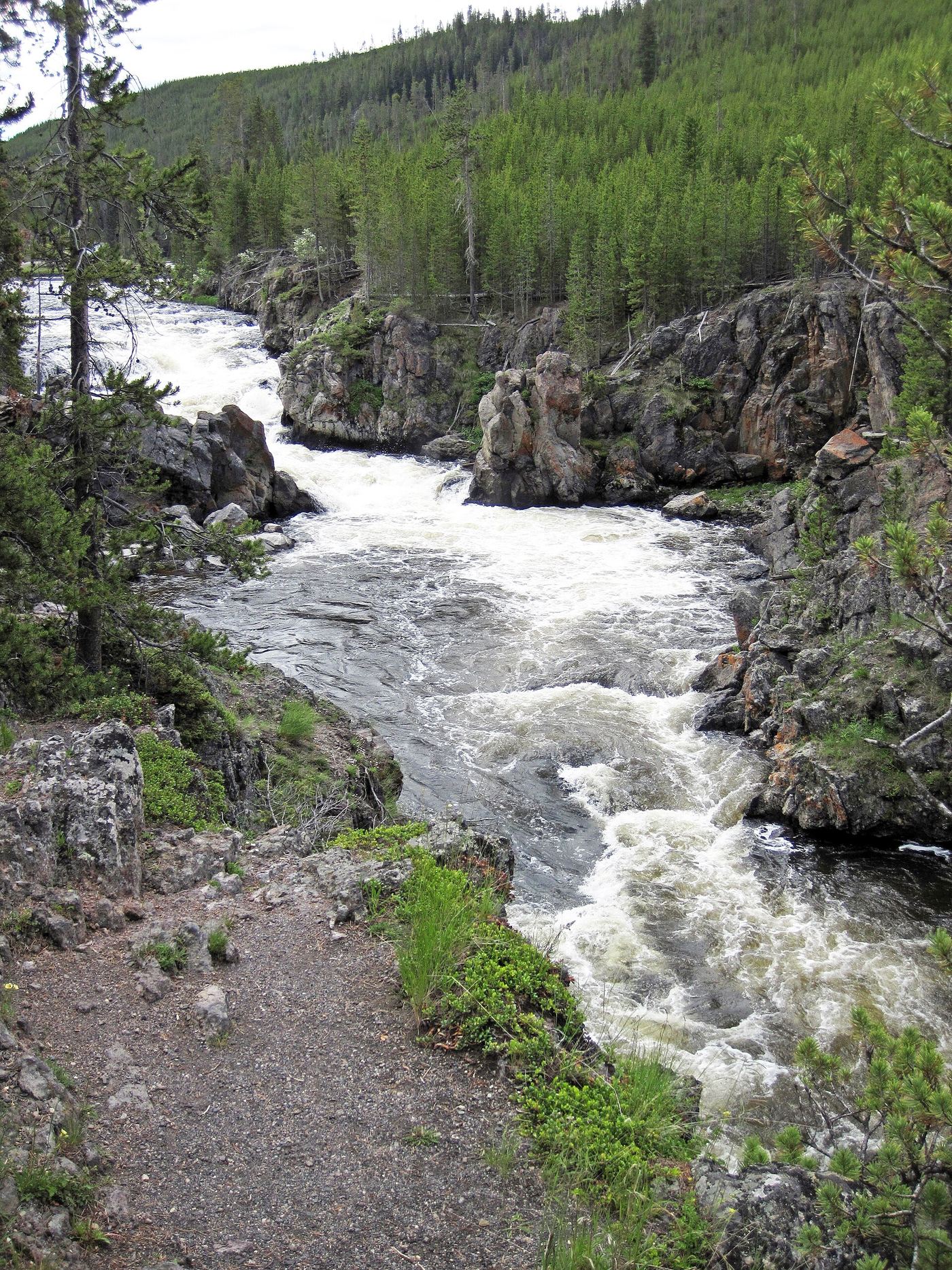
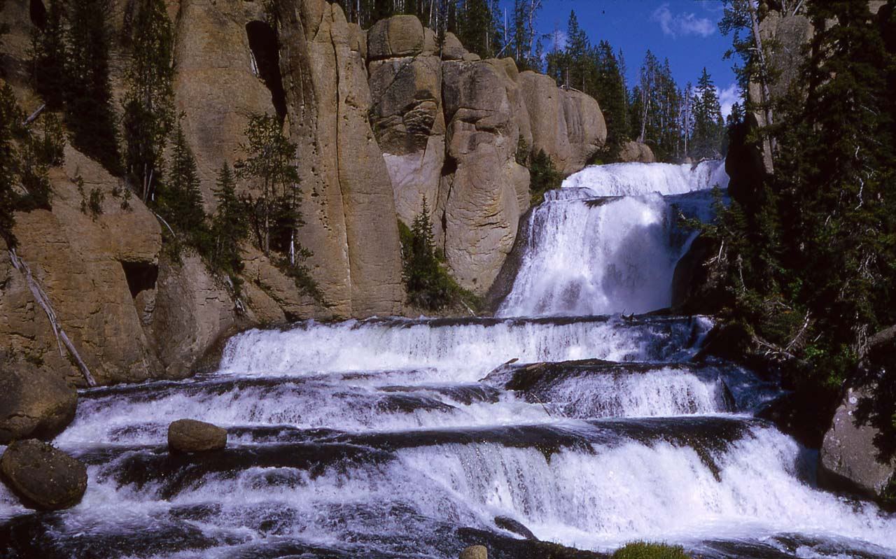
The Cascades of the Firehole are a tiered cascade on the Firehole River at the south end of Firehole Canyon Drive, a one-way paved road off the main road just south of Madison Junction in Yellowstone National Park. Drive Firehole Canyon Drive to its end. Pull over in the pulloff beside the big rocks just before the drive meets the main road, and walk upstream on an old road to see the cascades. The head of the cascades can be seen from parking areas beside the river on the Grand Loop Road, but the cascades themselves cannot be seen from there.
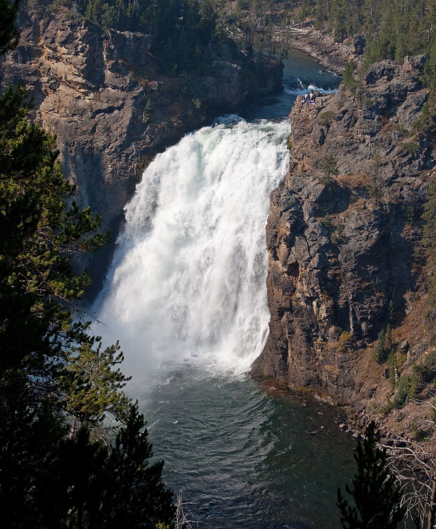
A short walk east of the Upper Falls Viewpoints area on the South Rim Trail; no distance given
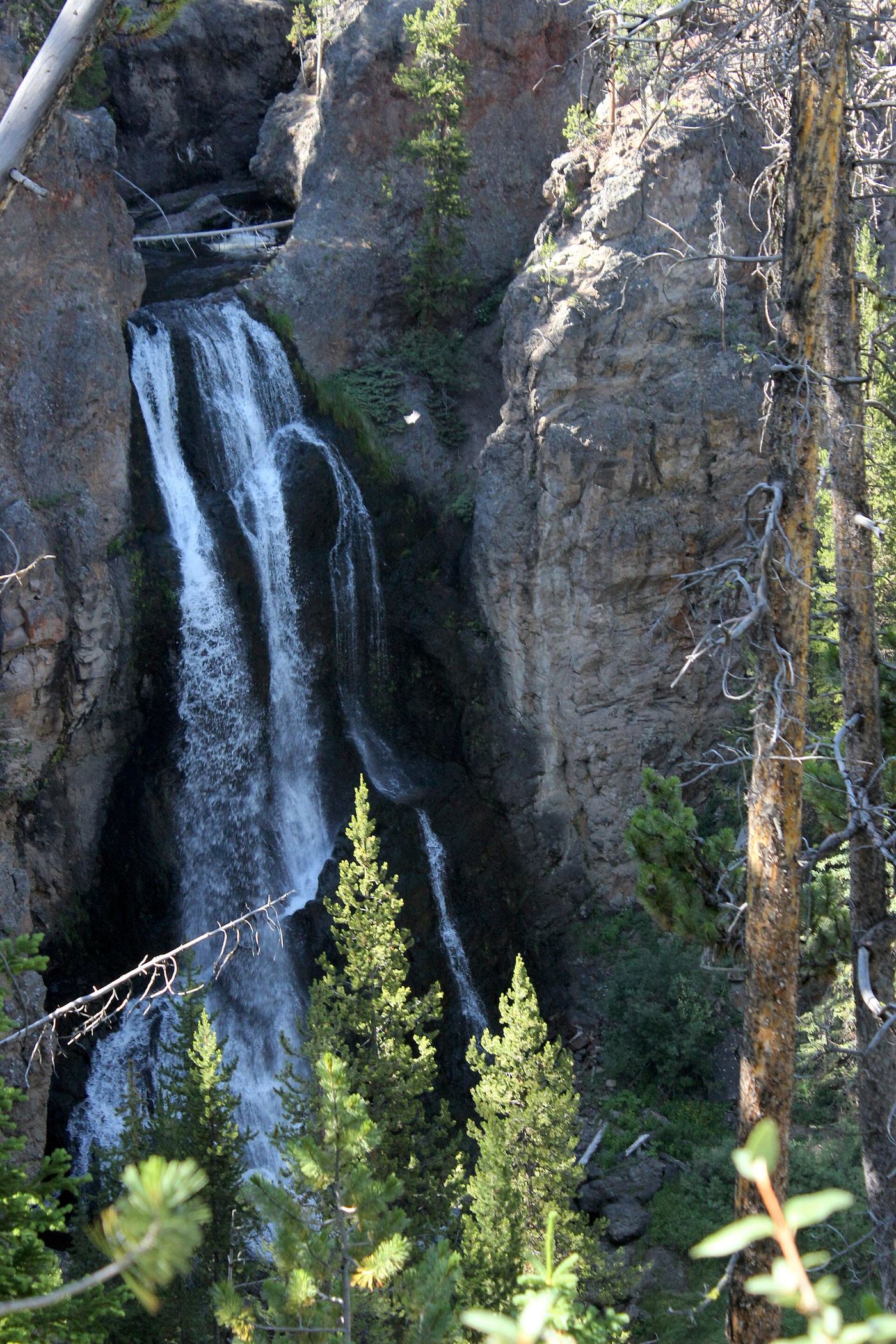
Crystal Falls is where Cascade Creek drops into the Grand Canyon of the Yellowstone between the Upper and Lower Falls, in Yellowstone National Park. From Canyon Village, turn left out of the parking area, turn left at the stop sign at the four-way intersection, and drive 2 miles to the South Rim Drive sign. Turn left onto South Rim Drive and take the first left into the Upper Falls Viewpoints parking area. Walk east from the Upper Falls Viewpoints area on the South Rim Trail to see Crystal Falls on the far side of the canyon. Return the same way.
Take the one-way Firehole Canyon Drive south of Madison Junction to the designated Firehole Falls viewing area. View the falls from the roadside. The separate swimming area farther along the drive is not the waterfall viewing route.
4.9 miles round trip from the Jenny Lake Trailhead, or 1.0 mile round trip from the west boat dock by shuttle boat (NPS)
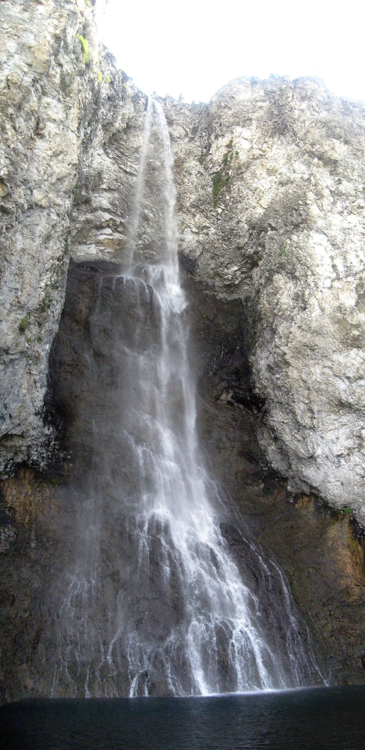
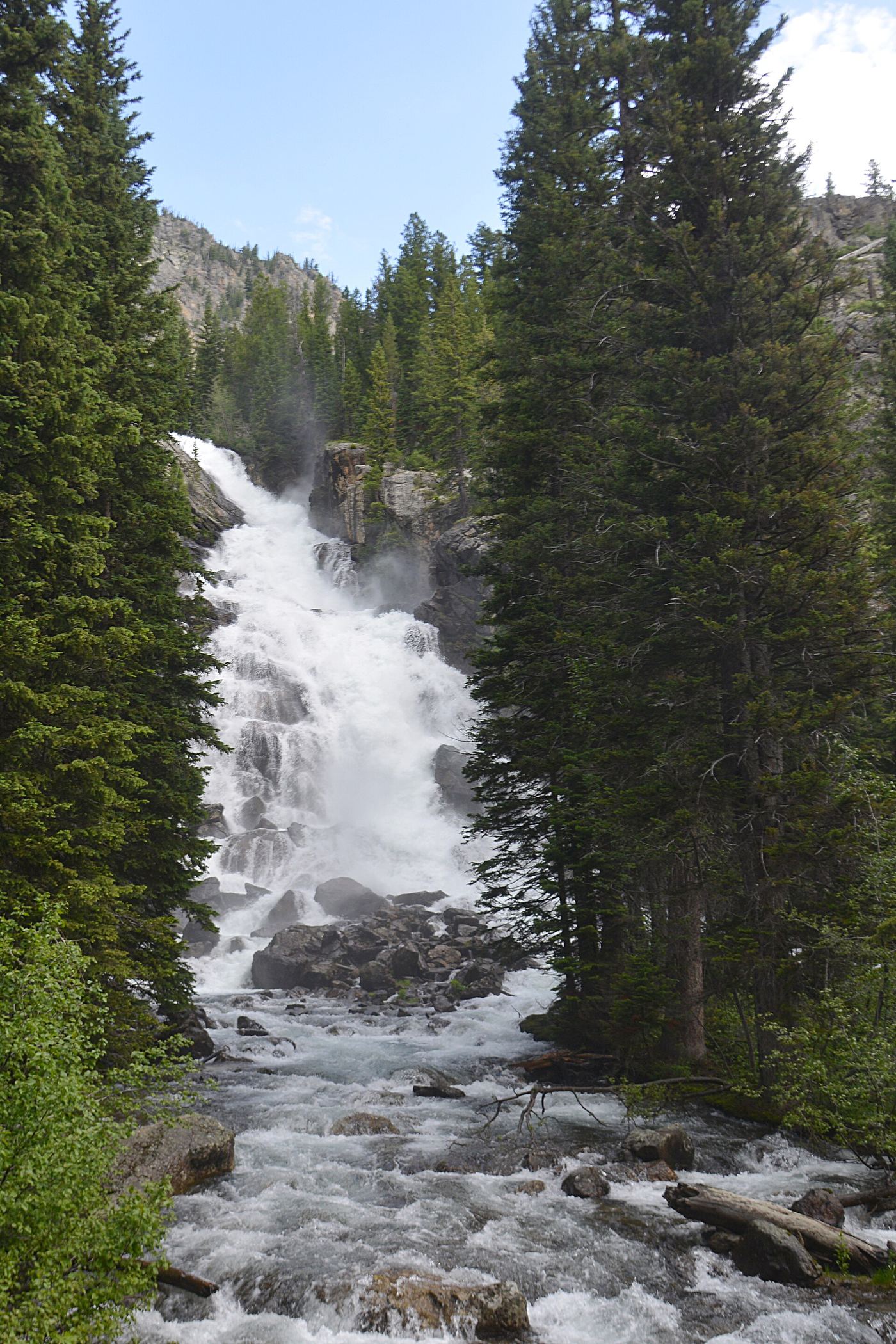
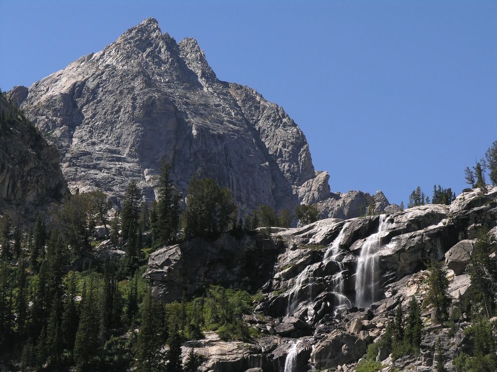
Hidden Falls is a cascade of about 200 feet on Cascade Creek on the west side of Jenny Lake in Grand Teton National Park. It stays hidden until you are less than 100 yards from the viewpoint. The Jenny Lake Trailhead is next to the east boat dock, eight miles north of Moose Junction on the Teton Park Road. Walk around the south or north end of Jenny Lake to the west shore, or take the Jenny Lake shuttle boat (fee charged) from the East Shore Boat Dock to the West Shore Boat Dock. From the west boat dock, the first half mile of trail leads to Hidden Falls; the trail continues more steeply to Inspiration Point. Return the same way, or take the shuttle boat back.
Short viewing-area approach; exact route length unconfirmed
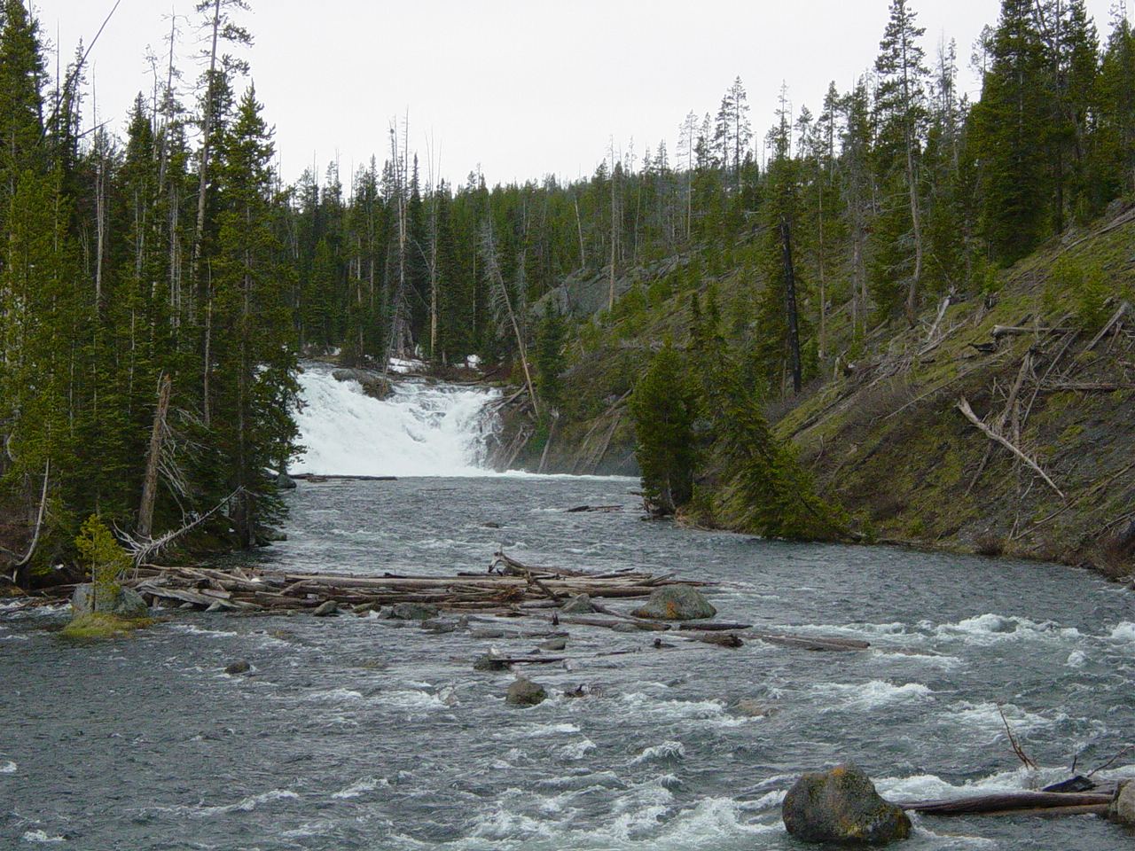
NPS identifies a roadside view of Lewis Falls on South Entrance Road, 11.3 miles south of West Thumb Junction. View from the road pullout and follow current signs and barriers. A separate firsthand source describes a short path up the south riverbank to a fenced overlook, but the post-construction pedestrian connection is not confirmed.
Overlook approach; measured distance not confirmed
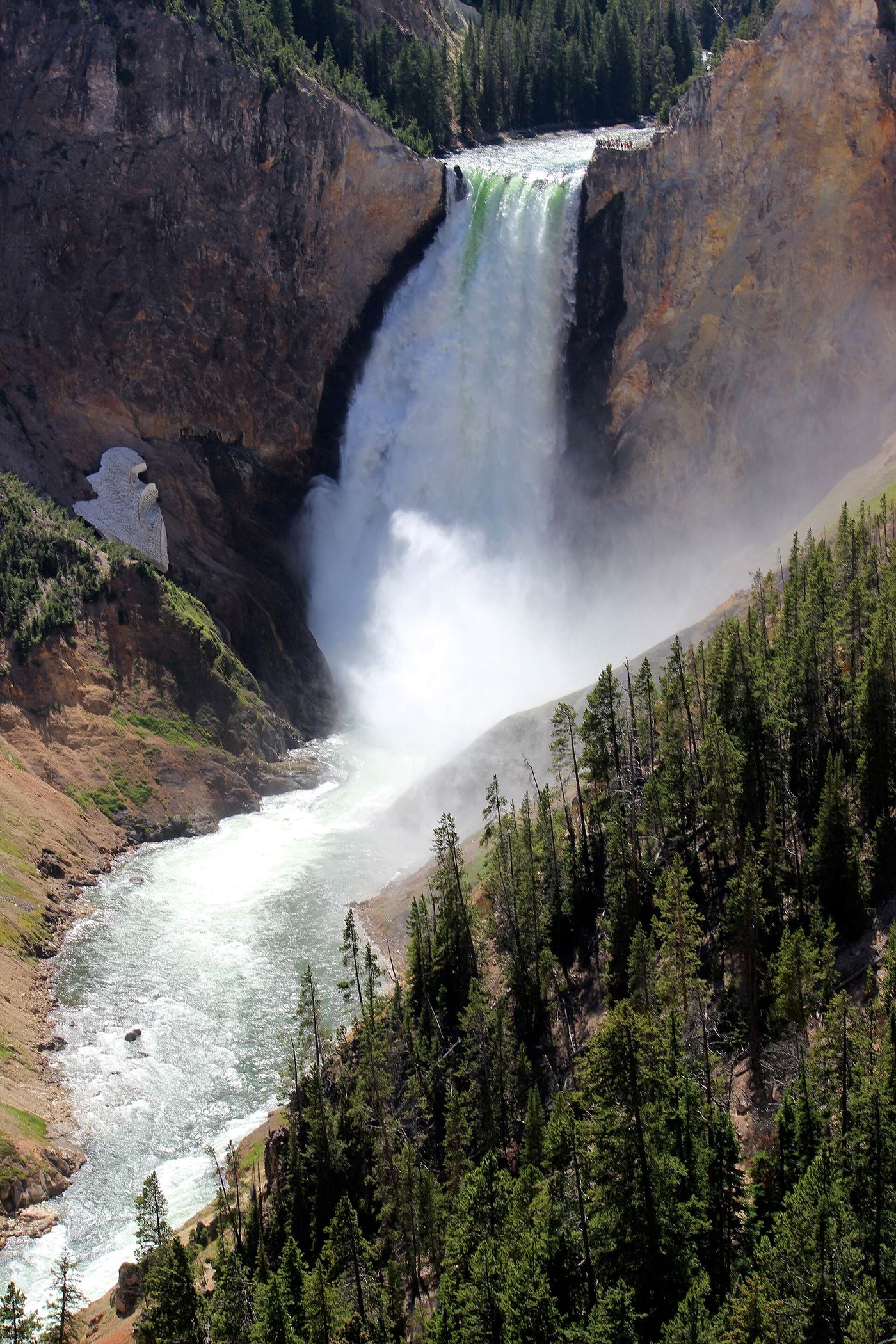
Drive South Rim Drive to Artist Point parking and follow the signed overlook approach to see Lower Yellowstone Falls and the canyon. NPS also identifies separate Lower Falls views from Lookout Point, Red Rock and Inspiration Point.
Middle Fork Falls, usually called Popo Agie Falls, is a series of cascades on the Middle Popo Agie River in the Shoshone National Forest above Sinks Canyon, southwest of Lander. Park in the large lot at Bruce's Parking Area and cross the footbridge to the trailhead kiosk. Go left on the Middle Fork Trail, which follows the river southwest. At the trail junction, the right branch leads to the Middle Fork Trail and Stock Connector; take the left branch to the falls. The trail becomes rougher, crosses another footbridge, passes an overlook of Sinks Canyon and climbs a small hill to the falls. A lower side trail leads to a waterslide and swimming hole that is very dangerous at peak snowmelt. Return the same way.
2.4 miles there and back from the Mystic Falls trailhead (NPS), plus the approach to the trailhead
Mystic Falls is a 70-foot falls where the Little Firehole River drops off the Madison Plateau, in Yellowstone National Park near Old Faithful. Reach the trailhead either by walking 0.3 mile to the far side of the Biscuit Basin boardwalk, or by parking in the pullouts on either side of the road 0.25 mile south of Biscuit Basin and walking 0.5 mile north on the Upper Geyser Basin-Biscuit Basin Trail. The trail follows the creek through mixed conifer forest to the falls. Turn around at the falls, or climb switchbacks 500 feet to an overlook of the Upper Geyser Basin and loop back to the main trail. Stay on maintained trails and boardwalks, especially in hydrothermal areas.
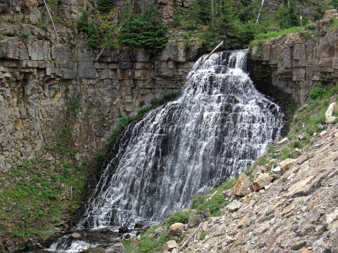
Rustic Falls is a 47-foot falls where Glen Creek ripples over a basalt cliff in the Golden Gate canyon, beside the Grand Loop Road below Bunsen Peak in Yellowstone National Park. The road descends steeply alongside the creek. Park in one of the couple of small pullouts near the falls and view it from beside the road. Space in the pullouts is limited, and viewing means walking along the road edge, so watch for traffic.
About 11 miles round trip to Lake Taminah, above the falls (Dirt In My Shoes)
Shoshoko Falls is a 200-foot seasonal cascade near the outlet of Taggart Creek from Lake Taminah, at the head of Avalanche Canyon in Grand Teton National Park. The route up Avalanche Canyon is not a park-maintained trail. From the Taggart Lake Trailhead, take the trail to Taggart Lake and go right (north) around the lake toward Bradley Lake. Just before the trail climbs the ridge to Bradley Lake, a path branches off to the left (west); its start is blocked by sticks. The route stays on the north side of the canyon, needs bushwhacking through thick brush and route-finding, and reaches the bottom of Shoshoko Falls. Carry a topographic map. Return the same way.
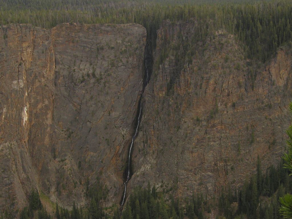
Start at the Glacial Boulder pullout on the road to Inspiration Point. Follow the Seven Mile Hole Trail along the canyon rim for views of Silver Cord Cascade across the canyon, then return the same way. This is a distant view, not an approach to the waterfall base.
3.6 miles round trip, 200 feet of elevation change (NPS brochure)
Terraced Falls is on the Falls River in the south-west corner of Yellowstone, closer to the South Entrance than to the Bechler Ranger Station. The trail begins at the Cascade Creek Trailhead on Grassy Lake Road. Follow the old dirt road about 1/4 mile to where the trail enters the park and take the left fork. Follow the signs north 1.4 miles along Cascade Creek and then the Falls River until the trail ends at Terraced Falls. Return the same way.
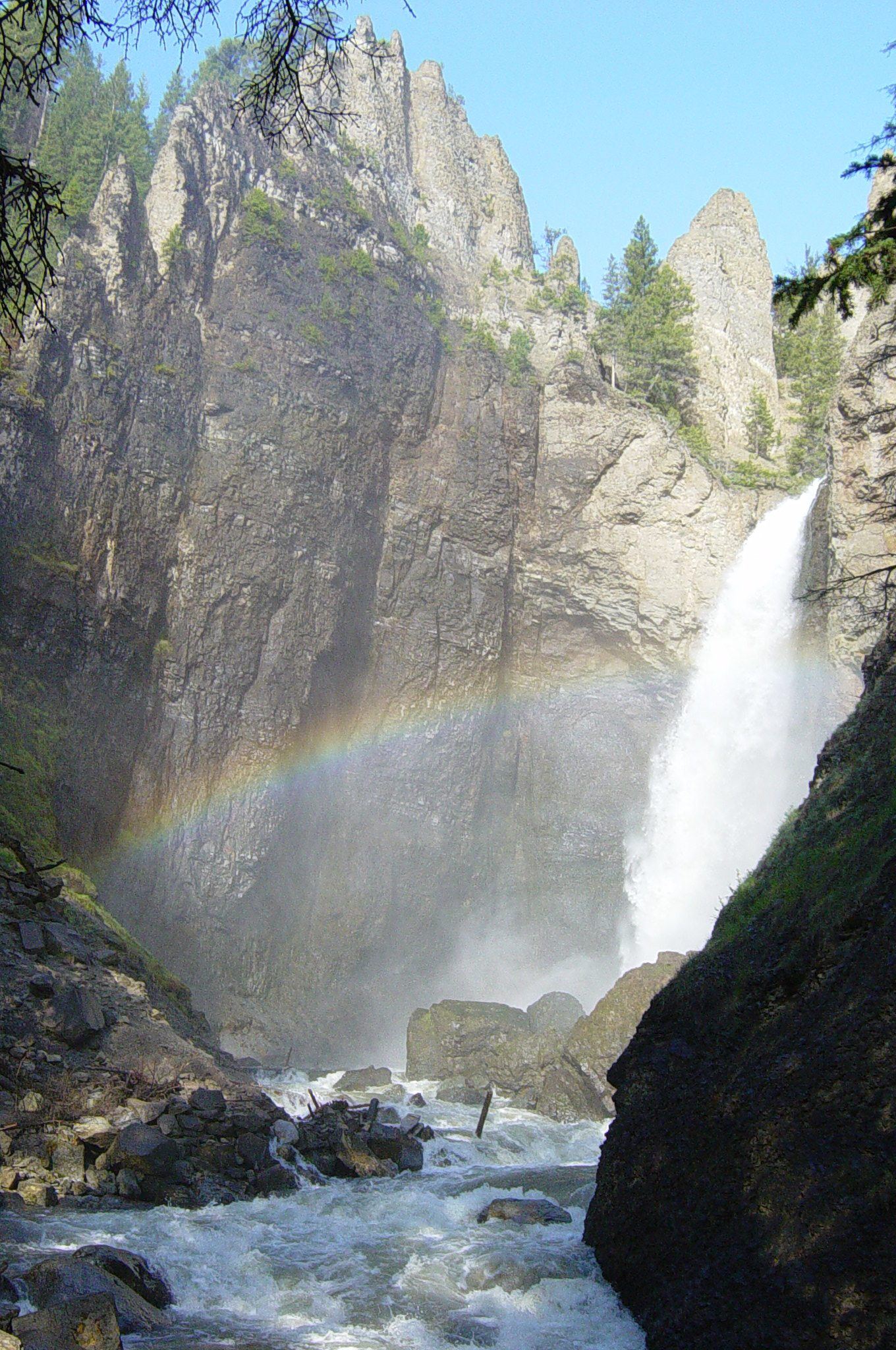
From the Tower Fall parking area near the General Store, follow the established path to the overlook. Return by the same route. NPS states the trail to the waterfall base is closed because of severe erosion; the optional trail beyond the overlook leads toward the Yellowstone River, not the base of the falls.
A few steps from the pullout to the overlook; no distance is published
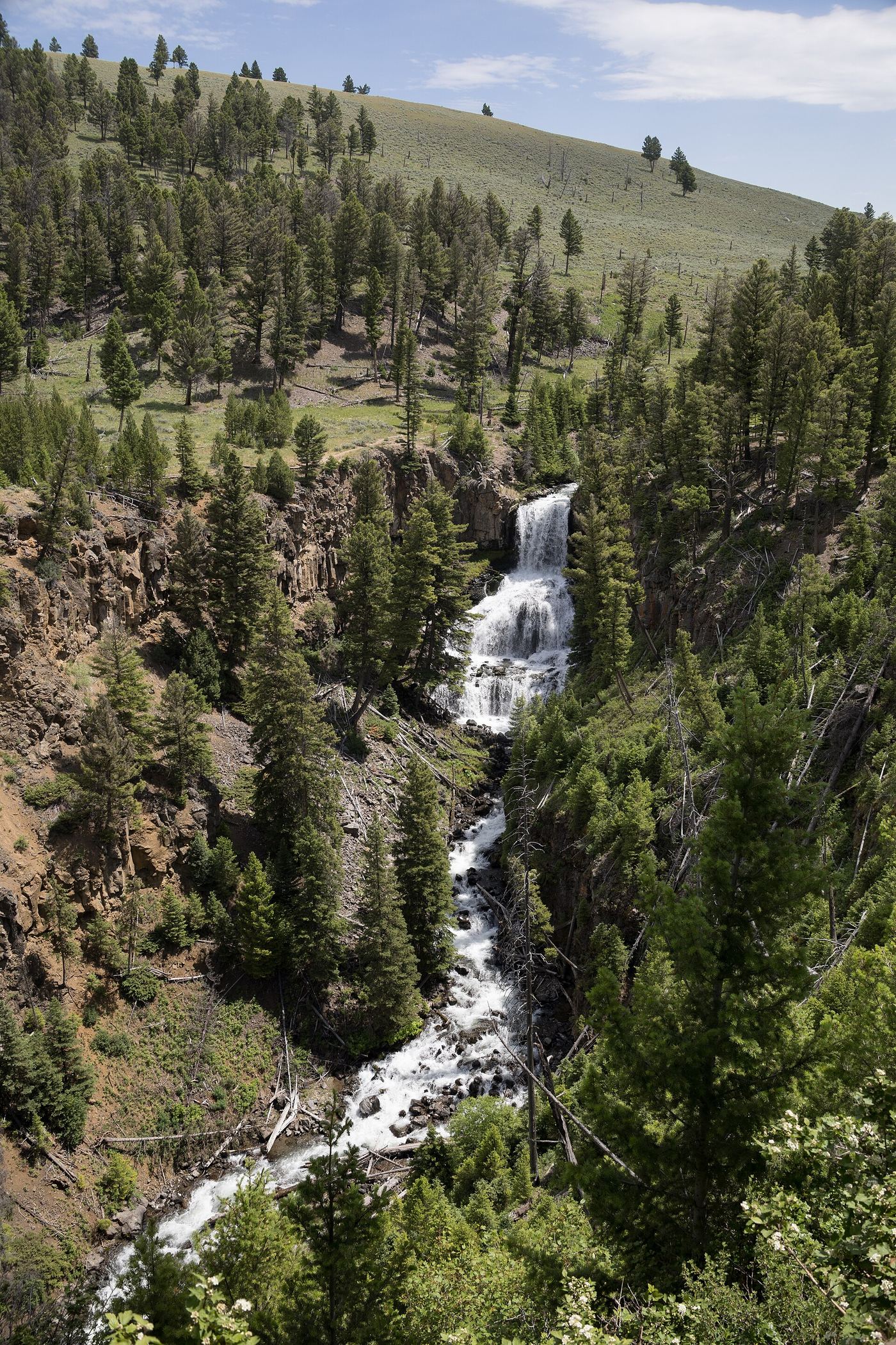
Undine Falls is a 60-foot falls in three drops on Lava Creek in the Mammoth Hot Springs area of Yellowstone National Park. Park at the large roadside pullout on the Grand Loop Road and walk to the adjacent overlook. For a closer approach, park at the Lava Creek Picnic Area, east of the pullout, and walk the Lava Creek Trail from the trailhead across the road toward the falls. The bridge across the Gardner River at the other end of the Lava Creek Trail washed out, so the trail is only reached from the picnic area side. Return the same way. Pets are not allowed on the trail.
Long backcountry hike; exact total not established here
Start at Grassy Lake trailhead on the reservoir’s western edge, hike into Yellowstone and continue on the main trail beyond the Ouzel Pool branch to Union Falls overlook.
Approximately 0.4 mile each way along the road; about 0.8 mile return, derived from published road milepoints
An October 2, 2026 firsthand account documents parking east of Virginia Cascades and walking back along the scenic road. Views through trees are obstructed. The account does not establish a protected pedestrian route, and the narrow road runs beside cliff edges. This is a documented roadside approach, not an unqualified hiking recommendation.
3.25 miles to the Bomber Falls use-trail junction, then a short unmarked use trail (hikingwalking.com)
Bomber Falls is at the head of upper Bomber Basin in the Fitzpatrick Wilderness, Shoshone National Forest, south of Dubois. From Dubois drive 3.7 miles east on US 26/287, turn right onto Whiskey Basin/Trail Lake Road, then almost immediately left to stay on Trail Lake Road (Forest Road 411), and drive 9.1 miles to the Trail Lake parking area. The Glacier Trail starts at the southwest end of the lot and climbs switchbacks up the open, hot slopes of Whiskey Mountain. At 0.5 mile turn left on the Glacier Trail; at 0.7 mile turn left again and cross the bridge over East Torrey Creek. The trail climbs through lower and upper Bomber Basin. At 3.25 miles, where the Glacier Trail bears left, an unmarked use trail branches right, crosses a stream and climbs through trees to the base of the falls. In the trees this use trail fades and is hard to follow, and dense foliage makes the falls hard to see. Return the same way.
Roughly 2 miles one way to the cottonwood viewpoint (Natural Atlas)
Bridal Veil Falls is a plunge of more than 100 feet on Falls Creek in a small side canyon of Clarks Fork Canyon near Clark. Park where the pavement ends at the Morrison Jeep Trail trailhead and walk up the two-track, Forest Service Road 119; motor vehicles are allowed on it, but it is rocky. Just before Falls Creek crosses the road, start up an old two-track blocked by boulders. In half a mile you reach cottonwood trees where the falls come into view. Reaching the base requires crossing the creek and scrambling over rocks and scree. The guide does not say who manages the land at the falls.
The 2025 USFS hiking brochure identifies the three-mile approach from Bucking Mule Trailhead at the end of FSR 14 to the Devil Canyon and falls overlook. The full 17-mile trail is not the waterfall walk.
Cascade Acres is a wide cascade on the Falls River, about 50 feet in total, in the Cascade Corner of southwest Yellowstone. From the Cascade Creek Trailhead on Grassy Lake Road, follow the old roadbed down beside Cascade Creek for about a quarter to half a mile to a junction and take the left fork, signed for Terraced Falls. The trail follows Cascade Creek past several smaller cascades to its meeting with the Falls River, then follows the river northwest and passes Cascade Acres. Terraced Falls is farther along the same trail, where the trail ends. Return the same way; the return is a gentle climb.
About 450 feet on an informal use trail to the first view (World of Waterfalls)
This unsigned cascade on Cascade Creek is beside the Cascade Creek Trailhead on the Grassy Lake Road, on public land near the Caribou-Targhee National Forest and Yellowstone boundary. World of Waterfalls calls it Cascade Creek Falls, a name it made up. The trailhead is on the north side of the gravel Grassy Lake Road, just over a mile west of Grassy Lake and 11 miles west of Flagg Ranch. From the far right corner of the trailhead pullout, a narrow use trail heads down along the creek; about 450 feet along it gives a view across to the upper half of the drop. Beyond that the path fades into off-trail scrambling among fallen trees, with drop-offs in places. Return the same way. The signed Cascade Creek-Falls River Cutoff Trail from the same parking area also follows Cascade Creek toward Terraced Falls.
The local Rexburg visitor directory describes a short trail down from the lower parking loop to Cave Falls, plus an upper parking viewpoint. NPS confirms the named picnic site. The cave itself is blocked after a rockfall and is not an entrance to explore.
Garnet Canyon trail: 8.4 miles round trip and 2,650 feet of climbing (NPS); the point where the trail passes Cleft Falls is not stated
Cleft Falls is a cascade of about 50 feet in Garnet Canyon in Grand Teton National Park, fed by snowmelt and the Middle Teton Glacier. It is highly intermittent and can be dry. From the Teton Park Road one mile south of South Jenny Lake Junction, turn west and follow a gravel road about 1 1/2 miles to the Lupine Meadows Trailhead. The trail climbs through conifers and then shrub-covered slopes; three miles up it splits, and the south fork wraps into Garnet Canyon toward the Middle Teton. Wikipedia says Cleft Falls is reached by way of the Garnet Canyon Trail, but where on the trail the falls are seen is not described. Return the same way.
Crazy Creek Falls is on Crazy Creek beside the Beartooth Highway in the Shoshone National Forest. Crazy Creek Campground sits on a bluff above the creek, about 3.5 miles along US 212 from its junction with the Chief Joseph Scenic Highway (WY 296). Campground visitors say a trail across the highway from the campground leads to Crazy Creek Falls. The Forest Service page for the campground does not describe the trail or day-use parking.
8.4 miles each way per American Southwest; it gives 17 miles round trip to see both Dunanda and Silver Scarf Falls
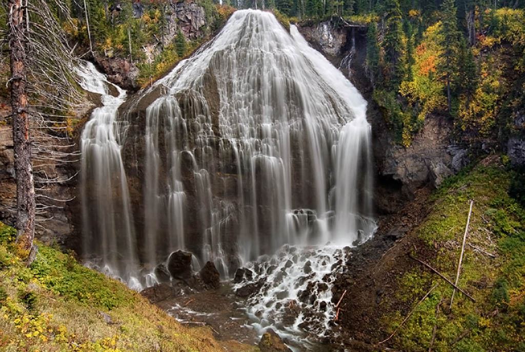
Dunanda Falls is a 150-foot plunge on Boundary Creek over the edge of the Madison Plateau in the Bechler area of southwest Yellowstone. It is a long but mostly flat day hike. From the Bechler Ranger Station, take the Bechler Meadows Trail about 1.5 miles to the start of the Boundary Creek Trail and turn left. The trail passes through forest, crosses Bartlett Slough at about 4 miles, then crosses open Bechler Meadows and Boundary Creek. After the junction with the Bechler Meadows Cutoff Trail, it climbs gently. Silver Scarf Falls comes into view on the right, and just past it a quarter-mile spur on the left leads to overlooks on the cliff rim above Dunanda Falls. Return the same way.
A few minutes from the parking area to the base of the falls (Visit Casper); no distance is published
Garden Creek Falls is in Rotary Park, a Natrona County park off Garden Creek Road at the base of Casper Mountain, south of Casper. From the parking area it is a short walk to the base of the falls, where picnic tables face the waterfall. Several viewing platforms are a short hike up the left side of the falls across the bridge. The longer Bridle Trail loops up and around the falls; its middle and upper sections cross private property, so stay on the designated trails.
Buckrail’s onsite report documents a rebuilt Granite Falls parking area and restored trails in Bridger-Teton National Forest. The walking route and distance to the viewpoint need further confirmation.
Hidden Falls is a small waterfall on Crow Creek in Curt Gowdy State Park, between Cheyenne and Laramie. Enter the park from State Highway 210 (Happy Jack Road) and drive about 1.4 miles south to the large parking area on the right at the Hidden Falls Trailhead. Follow the shoreline trail from the parking lot a few hundred yards to the Crow Creek trailhead, then follow the Crow Creek Trail through woodland up the creek. The trail ends where the falls pour out under the rocks. Return the same way, or make a loop on the park's other trails.
Do not plan the waterfall spur without ranger confirmation
The current Lost Lake conditions section reports a washed-out falls trail. It names 'Lost Lake Falls'; the static route guide names Lost Creek Falls. Confirm the discrepancy with NPS before attempting the spur.
Long backcountry trail; distance from the Bechler Ranger Station is not stated
Colonnade Falls is a two-tiered falls on the Bechler River in the Bechler area of Yellowstone National Park, with an upper drop of 35 feet and a lower drop of 67 feet. This listing is the lower 67-foot drop; the upper 35-foot drop is part of the same falls. NPS says the Bechler River Trail starts at either the Bechler Ranger Station or Lone Star Geyser. Hiking Project describes the trail passing Iris Falls and then two-tiered Colonnade Falls before it enters Bechler Meadows. From the south, start at the Bechler Ranger Station Trailhead on Cave Falls Road. The trail has difficult fords of the Bechler River, and Hiking Project does not recommend it before late July.
USFS identifies South Fork of South Cottonwood Trail as providing views of Menace Falls. A firsthand visit confirms the road-end start, but the complete junction sequence and distance remain unverified.
3.5 miles to Bechler Meadows on the Bechler Meadows Trail (NPS brochure); the distance on to the viewing point is not stated
Ouzel Falls is a tall falls on Ouzel Creek in the Bechler area of south-west Yellowstone, seen at a distance from Bechler Meadows. From the Bechler Ranger Station Trailhead on Cave Falls Road, take the Bechler Meadows Trail north 3.5 miles to the meadows. Cross Boundary Creek and continue through the meadows to the ford of the Bechler River at their upper end. From there, look north-west to see Ouzel Falls in the next drainage. No trail to the falls themselves is described. Return the same way.
About 8.4 miles one way to Dunanda Falls (The American Southwest); 17 miles round trip to visit both Dunanda and Silver Scarf Falls
Silver Scarf Falls is a long whitewater cascade where a warm tributary of Boundary Creek slides about 250 feet down the edge of the Madison Plateau, beside Dunanda Falls in the Bechler area of south-west Yellowstone. From the Bechler Ranger Station, head north on the Bechler Meadows Trail and after 1.6 miles take the Boundary Creek Trail north-west. Ford Bartlett Slough (2 to 3 1/2 feet deep depending on season) into Bechler Meadows, continue north and ford Boundary Creek near campsite 9A1, then climb to the junction with the spur to Dunanda Falls. From that junction, Silver Scarf Falls is visible to the east and reached by a short walk through the trees. Return the same way. This is a long day hike.
Long backcountry trail; distance from the Bechler Ranger Station is not stated
Colonnade Falls is a two-tiered falls on the Bechler River in the Bechler area of Yellowstone National Park, with an upper drop of 35 feet and a lower drop of 67 feet. This listing is the upper 35-foot drop; the lower 67-foot drop is part of the same falls. NPS says the Bechler River Trail starts at either the Bechler Ranger Station or Lone Star Geyser. Hiking Project describes the trail passing Iris Falls and then two-tiered Colonnade Falls before it enters Bechler Meadows. From the south, start at the Bechler Ranger Station Trailhead on Cave Falls Road. The trail has difficult fords of the Bechler River, and Hiking Project does not recommend it before late July.