Lewis Falls
Teton County, Wyoming
Your visit at a glance
- Waterfall height
- 30 ft (9.1 m)
- Location
- Teton County, Wyoming
- Access status
- Official viewing facilities identified; post-construction pedestrian approach unconfirmed
- The walk
- Short viewing-area approach; exact route length unconfirmed
- Ground & access
- Roadside river crossing and viewing area; current finished pedestrian surface unconfirmed.
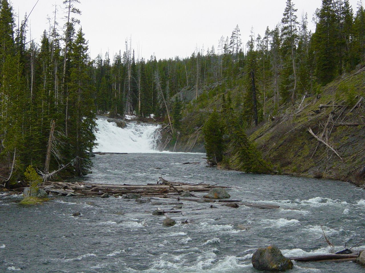
Photo credit
Photo: No machine-readable author provided. MONGO assumed (based on copyright claims)., Public domain, via Wikimedia CommonsNPS identifies a roadside view of Lewis Falls on South Entrance Road, 11.3 miles south of West Thumb Junction. View from the road pullout and follow current signs and barriers. A separate firsthand source describes a short path up the south riverbank to a fenced overlook, but the post-construction pedestrian connection is not confirmed.
Plan your visit
Lewis Falls viewing area by Lewis River Bridge
Only the stated source distance is supported; mapped proximity is not a walking distance.
Roadside river crossing and viewing area; current finished pedestrian surface unconfirmed.
Where to start
The NPS accessibility page identifies a road pullout at Lewis Falls, with no designated parking. Its infrastructure page describes accessible parking in the bridge project. These descriptions do not establish the current stall layout; use posted visitor parking and do not obstruct the road.
Timing & water
South Entrance Road is seasonal. Check park road access and obey work-zone restrictions.
Before you go
Yellowstone entrance requirements apply.
Visitor informationVisit sources
More waterfalls nearby
Within 40 straight-line miles. Road and trail distances will differ.
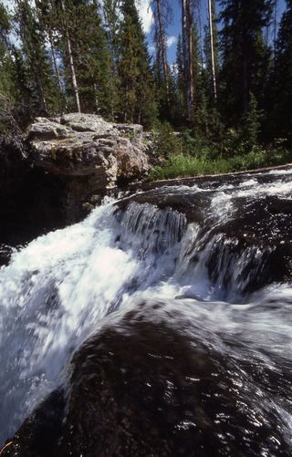 Moose FallsResearched walking route30 ft (9.1 m) · Teton County, WY8.2 miS
- Twister FallsTeton County, WY11 miW
- Tempe CascadeTeton County, WY12 miW
- Wahhi FallsTeton County, WY12 miW
- Sluiceway FallsTeton County, WY12 miW
- Tendoy FallsTeton County, WY12 miW
- Gwinna FallsTeton County, WY12 miW
- Quiver CascadeTeton County, WY12 miW
- Ragged FallsTeton County, WY13 miW