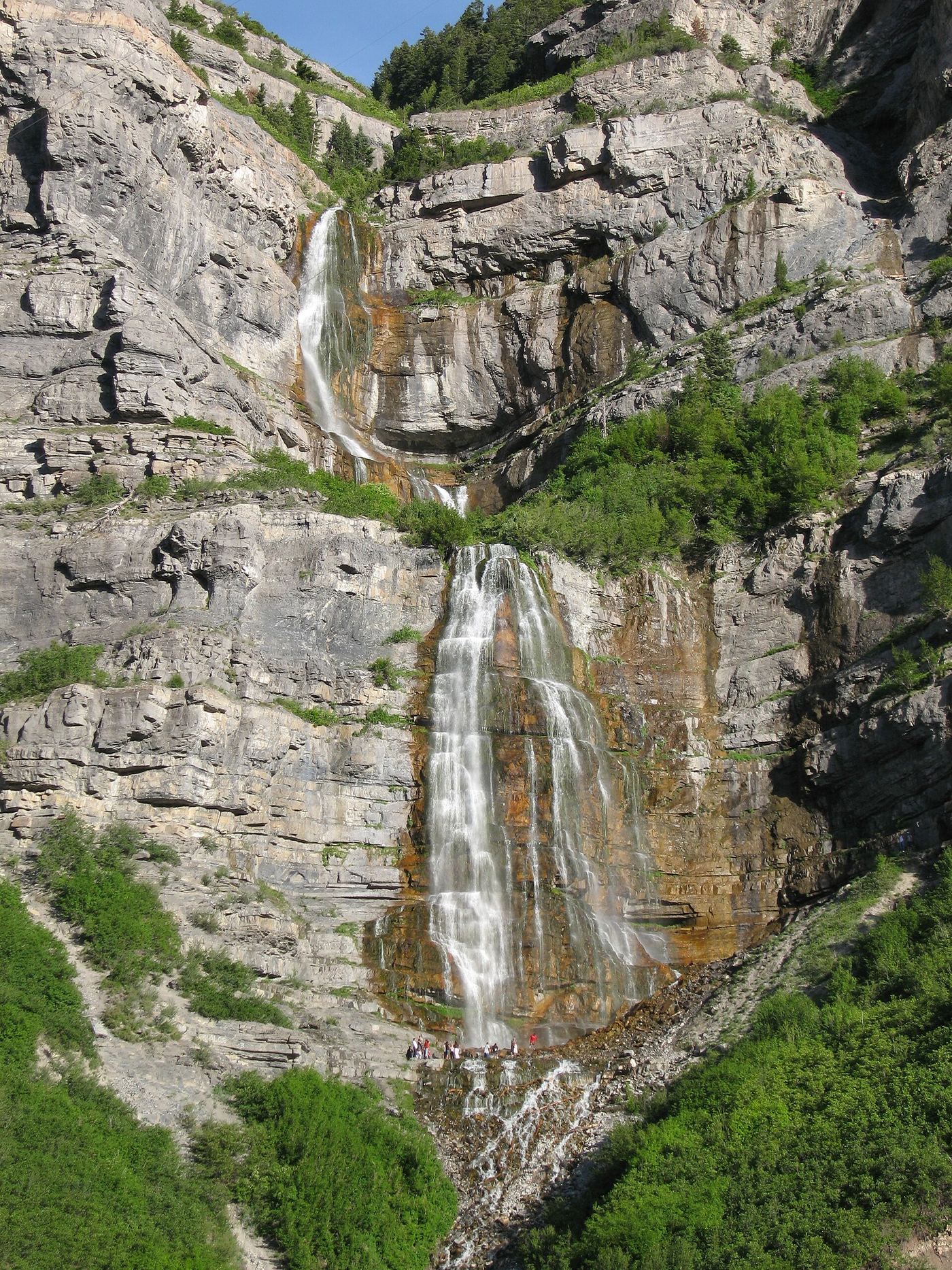
Bridal Veil Falls
607 ft (185 m) · Utah County, UT
69 named waterfalls in 17 counties. Browse mapped locations and recorded heights. A map listing does not confirm public access or a walking route.
Read the walking route, starting point and current access notes.
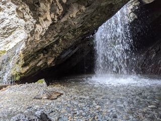 Donut FallsSummer parking and signed approach verified; winter gate changes the starting point.20 ft (6 m) · Salt Lake County, UT
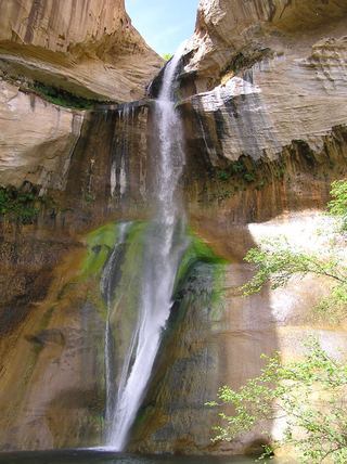 Lower Calf Creek FallsVerified developed trail and recreation-area parkingGarfield County, UT
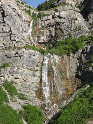 Bridal Veil FallsPaved park path and short trail to the base; also seen from the road607 ft (185 m) · Utah County, UT
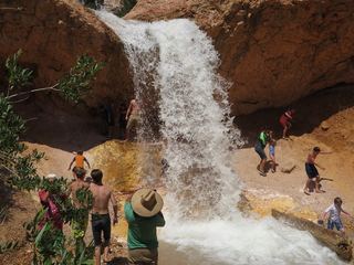 Tropic Ditch FallsShort park trail from the Mossy Cave TrailheadGarfield County, UT
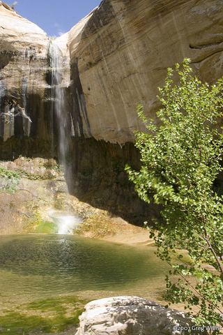 Upper Calf Creek FallState tourism route and trailhead documented; steep slickrockGarfield County, UT
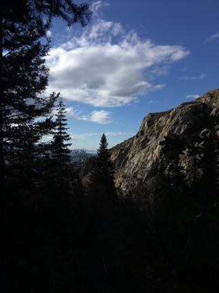 Lower Bells Canyon WaterfallSteep canyon trail from a signed trailhead to a short spurSalt Lake County, UT
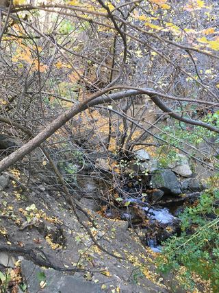 Adams Canyon Lower FallsVisitor route and trailhead documented; steep switchbacks16 ft (5 m) · Davis County, UT
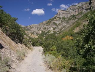 Grove Creek FallsPartial guide: trail to two waterfall viewpoints; which falls this listing marks is not confirmedUtah County, UT
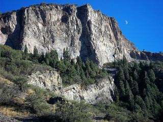 Battle Creek FallsPublished guidebook route and trailhead documentedUtah County, UT
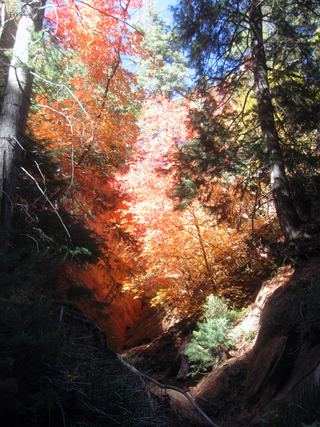 Lower Kanarra FallsPartial guide: permit hike documented; which drop this listing marks is not confirmedIron County, UT
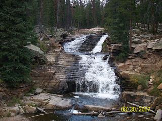 Upper Provo River FallsRoadside viewpoint at a signed highway parking area; recreation pass requiredSummit County, UT
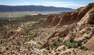 Faux FallsShort trail from a signed trailhead documented; rough dirt spur roadSan Juan County, UT
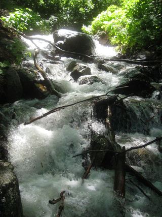 Rocky Mouth Canyon WaterfallGuide: short trail from Wasatch BoulevardSalt Lake County, UT
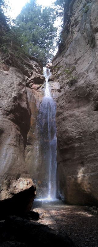 Rattlesnake Creek WaterfallNational forest trail route documented; long descent to a view from the top of the fallsIron County, UT
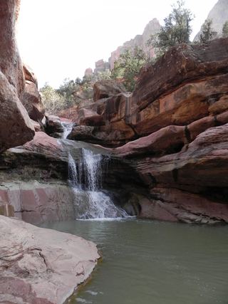 Lower Pine Creek WaterfallPartial guide: unsigned social trail with boulder-hoppingWashington County, UT
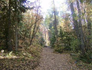 Grotto FallsForest Service trail and trailhead documentedUtah County, UT
607 ft (185 m) · Utah County, UT
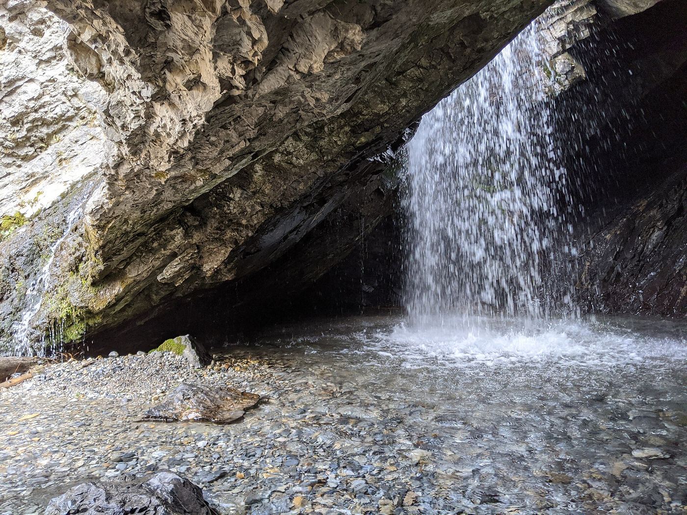
20 ft (6 m) · Salt Lake County, UT
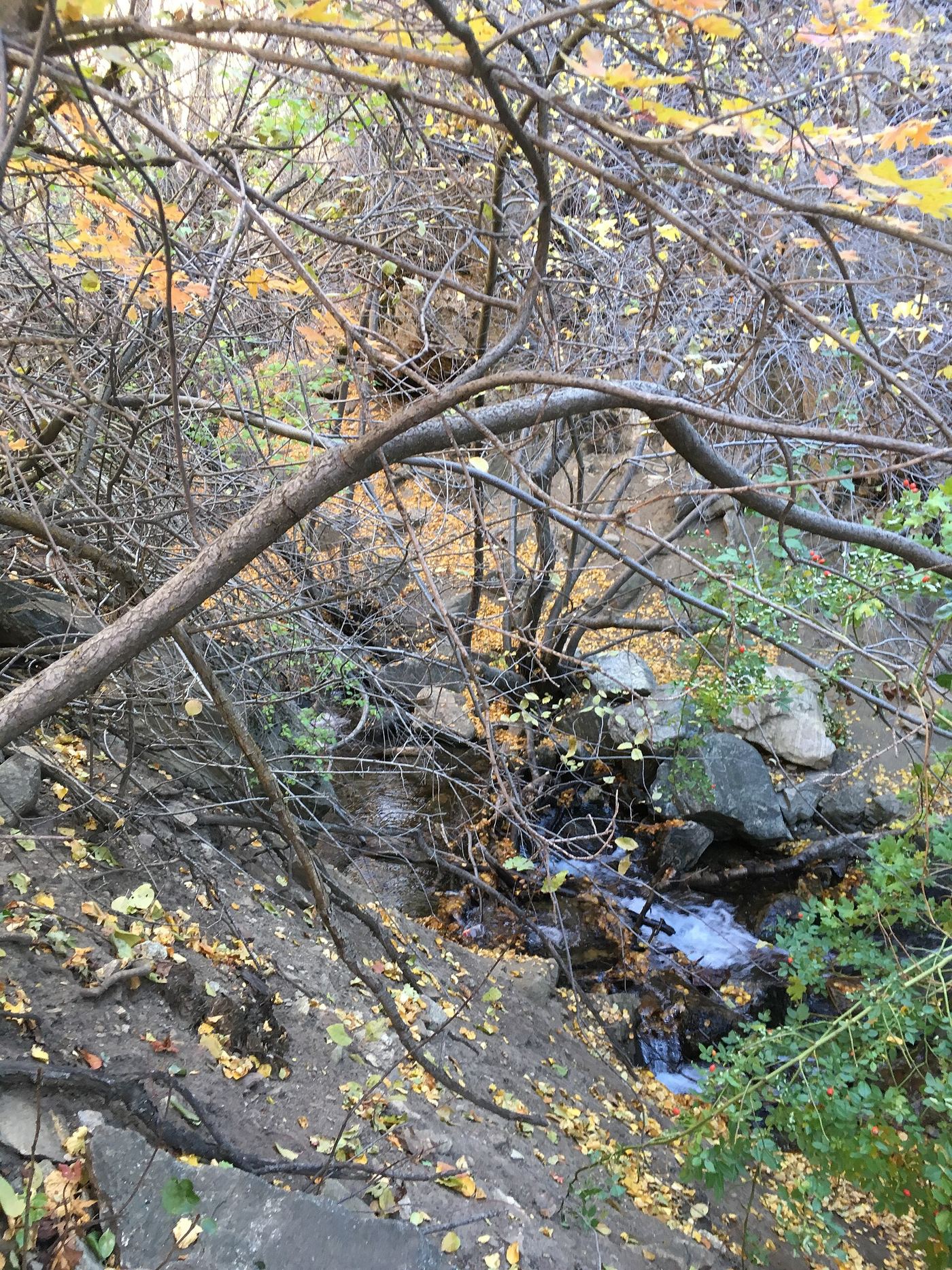
16 ft (5 m) · Davis County, UT
Battle Creek FallsPublished guidebook route and trailhead documentedUtah CountyBridal Veil FallsPaved park path and short trail to the base; also seen from the road607 ft (185 m) · Utah CountyGrotto FallsForest Service trail and trailhead documentedUtah CountyGrove Creek FallsPartial guide: trail to two waterfall viewpoints; which falls this listing marks is not confirmedUtah County Upper Bridal Veil FallsUtah CountyDonut FallsSummer parking and signed approach verified; winter gate changes the starting point.20 ft (6 m) · Salt Lake CountyLower Bells Canyon WaterfallSteep canyon trail from a signed trailhead to a short spurSalt Lake CountyRocky Mouth Canyon WaterfallGuide: short trail from Wasatch BoulevardSalt Lake CountyLower Pine Creek WaterfallPartial guide: unsigned social trail with boulder-hoppingWashington County
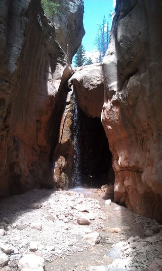 Lake Creek WaterfallIron CountyLower Kanarra FallsPartial guide: permit hike documented; which drop this listing marks is not confirmedIron CountyRattlesnake Creek WaterfallNational forest trail route documented; long descent to a view from the top of the fallsIron County
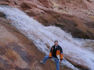 Fremont River WaterfallWayne CountyUpper Provo River FallsRoadside viewpoint at a signed highway parking area; recreation pass requiredSummit County