Lisa Falls
Salt Lake County, Utah
Your visit at a glance
- Waterfall height
- Not recorded
- Location
- Salt Lake County, Utah
- Access status
- Route and parking researched
- The walk
- 0.2 miles return
- Ground & access
- Rocky approach to the lower falls; the upper route is technical.
From the north-side Lisa Falls trailhead, follow the short rocky path to the lower falls and return the same way.
Plan your visit
Lower Lisa Falls, Little Cottonwood Canyon
Visit Salt Lake gives 0.2 mile out and back; the firsthand family account estimates about 0.3 mile. The difference is unresolved.
Rocky approach to the lower falls; the upper route is technical.
Where to start
Use the designated Lisa Falls trailhead parking on SR-210. UDOT identifies it as an official Forest Service parking location. A firsthand account places the smaller trailhead parking area on the north side, opposite Little Cottonwood Trail parking. Obey current signs; this is not permission to park on any shoulder.
Timing & water
Source recommends May–October.
Before you go
Fees and reservation requirements are not stated in the cited visitor source; confirm before travel.
Visitor informationVisit sources
More waterfalls nearby
Within 40 straight-line miles. Road and trail distances will differ.
- Upper Lisa FallsSalt Lake County, UT0.4 miNE
- Upper Bells Canyon WaterfallSteep canyon trail from a signed trailhead; upper falls beyond the Lower Falls junctionSalt Lake County, UT2.1 miSW
- Gloria FallsResearched visit notesSalt Lake County, UT2.2 miE
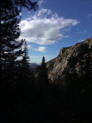 Lower Bells Canyon WaterfallSteep canyon trail from a signed trailhead to a short spurSalt Lake County, UT2.4 miW
- Blackjack WaterfallSalt Lake County, UT4.1 miE
- Hidden FallsResearched visit notesSalt Lake County, UT4.3 miN
- Moss Ledge WaterfallPartial guide: short unmaintained social trail with scramblingSalt Lake County, UT4.3 miN
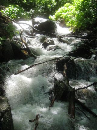 Rocky Mouth Canyon WaterfallGuide: short trail from Wasatch BoulevardSalt Lake County, UT4.5 miSW
- Horsetail FallsResearched visit notesUtah County, UT5.2 miS