Moss Ledge Waterfall
Salt Lake County, Utah
Your visit at a glance
- Waterfall height
- Not recorded
- Location
- Salt Lake County, Utah
- Access status
- Partial guide: short unmaintained social trail with scrambling
- The walk
- About 0.4 to 0.6 mile round trip, per visitor reports
- Ground & access
- Steep, rocky social trail with scrambling and some route finding. Can be difficult or dangerous during high spring runoff. Big Cottonwood Canyon is a protected watershed: no dogs, and no touching or playing in the water.
Moss Ledge Waterfall is a two-tiered falls on a side stream just above the Big Cottonwood Canyon road. From the parking area at mile post 7, follow the trail that angles up to the old picnic area. On the bench, the path follows the stream upstream on the left bank (facing downstream). It gets rockier and narrower; a short steep section can be passed on the same side or in the stream bed. Above it, stay on that side, where the social trail and some built steps help. The falls come into view only near the end. Return the same way. The path is a faint, unmaintained social trail with scrambling.
Plan your visit
Mile post 7 parking area in Big Cottonwood Canyon (former Moss Ledge Picnic Area), social trail up the stream to Moss Ledge Waterfall
Road Trip Ryan maps 0.43 miles for the route and lists 0.5 mile; Girl on a Hike gives 0.6 miles round trip with about 450 feet of gain.
Steep, rocky social trail with scrambling and some route finding. Can be difficult or dangerous during high spring runoff. Big Cottonwood Canyon is a protected watershed: no dogs, and no touching or playing in the water.
Where to start
Parking area on the left at mile post 7, about 5.7 miles up Big Cottonwood Canyon from the light at Wasatch Blvd. Room for about four cars.
Timing & water
Late spring through fall; summer and fall have lower flow.
Before you go
No fee is mentioned.
Visitor informationMore waterfalls nearby
Within 40 straight-line miles. Road and trail distances will differ.
- Hidden FallsResearched visit notesSalt Lake County, UT0.6 miW
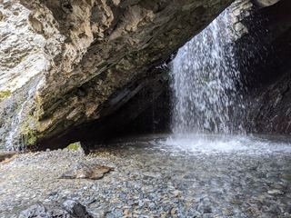 Donut FallsSummer parking and signed approach verified; winter gate changes the starting point.20 ft (6 m) · Salt Lake County, UT3.0 miE
- Upper Lisa FallsSalt Lake County, UT4.0 miS
- Lisa FallsRoute and parking researchedSalt Lake County, UT4.3 miS
- Blackjack WaterfallSalt Lake County, UT5.0 miSE
- Gloria FallsResearched visit notesSalt Lake County, UT5.1 miS
- Upper Bells Canyon WaterfallSteep canyon trail from a signed trailhead; upper falls beyond the Lower Falls junctionSalt Lake County, UT5.9 miSW
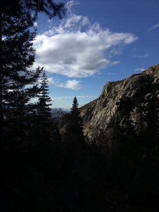 Lower Bells Canyon WaterfallSteep canyon trail from a signed trailhead to a short spurSalt Lake County, UT6.0 miSW
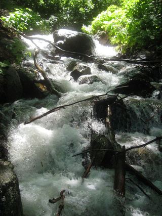 Rocky Mouth Canyon WaterfallGuide: short trail from Wasatch BoulevardSalt Lake County, UT8.0 miSW