Lower Bells Canyon Waterfall
Salt Lake County, Utah
Your visit at a glance
- Waterfall height
- Not recorded
- Location
- Salt Lake County, Utah
- Access status
- Steep canyon trail from a signed trailhead to a short spur
- The walk
- About 2 miles from the trailhead, per Road Trip Ryan
- Ground & access
- Well-used trail, steep and rocky above the reservoir. Slippery rock around the falls.
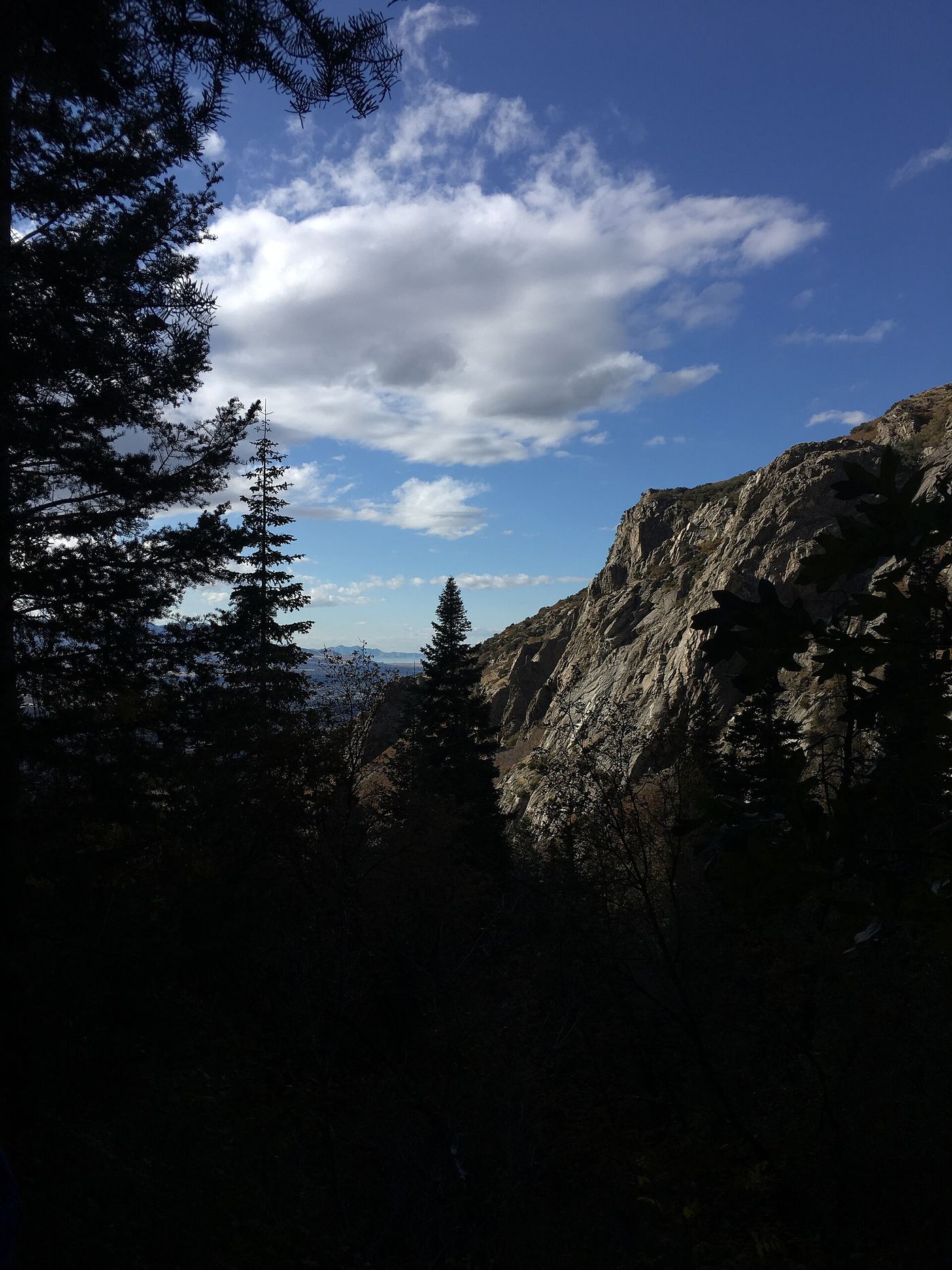
The Lower Bells Canyon Falls are on the creek in Bells Canyon above Sandy. Road Trip Ryan recommends the Preservation Trailhead: from the stoplight where Wasatch Boulevard meets Little Cottonwood Road, continue straight and take the first left, signed for the trailhead. Leave the east side of the upper parking lot and follow the trail over a ridge to the lower reservoir. Follow the left side of the reservoir on an old jeep road to a signed junction, and turn left onto the trail. Cross a bridge, enter the wilderness area and climb steeply. After a steep, rocky section and a small side stream, the main trail goes left about 4 minutes to the Lower Falls; the right branch goes on to the upper falls. Return the same way. People have been injured and killed slipping into the falls, so keep back from the edge.
Plan your visit
Bells Canyon Preservation Trailhead off Wasatch Boulevard in Sandy, past the lower reservoir and up the Bells Canyon trail to the side trail for the Lower Falls
Road Trip Ryan says the lower falls are 2 miles from the trailhead. It gives 0.6 miles from the Preservation Trailhead to the reservoir and 1.6 miles from the reservoir to the Lower Falls, and lists the Lower Falls hike from the Preservation Trailhead as 4.5 miles. 10Adventures puts the Lower Falls spur about 2.3 km past the reservoir.
Well-used trail, steep and rocky above the reservoir. Slippery rock around the falls.
Where to start
Bells Canyon Preservation Trailhead, the first left after the Wasatch Boulevard and Little Cottonwood Road stoplight; restrooms at the trailhead. The smaller Boulder and Granite trailheads are nearby. All can fill up on busy summer weekends.
Timing & water
10Adventures says the trail can be icy in winter and recommends traction devices such as microspikes then.
Before you go
No fee is mentioned.
Visitor informationVisit sources
More waterfalls nearby
Within 40 straight-line miles. Road and trail distances will differ.
- Upper Bells Canyon WaterfallSteep canyon trail from a signed trailhead; upper falls beyond the Lower Falls junctionSalt Lake County, UT0.5 miSE
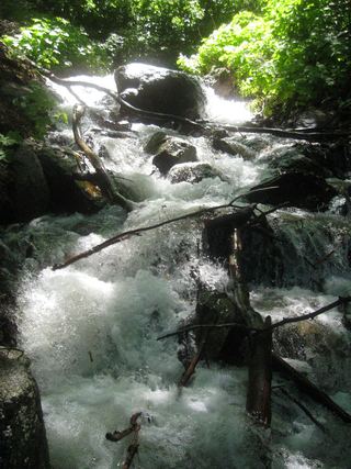 Rocky Mouth Canyon WaterfallGuide: short trail from Wasatch BoulevardSalt Lake County, UT2.1 miSW
- Lisa FallsRoute and parking researchedSalt Lake County, UT2.4 miE
- Upper Lisa FallsSalt Lake County, UT2.7 miNE
- Gloria FallsResearched visit notesSalt Lake County, UT4.3 miE
- Horsetail FallsResearched visit notesUtah County, UT4.9 miSE
- Ghost FallsSigned Corner Canyon trails from a trailhead lot; shared with bikesSalt Lake County, UT5.2 miSW
- Hidden FallsResearched visit notesSalt Lake County, UT5.7 miNE
- Moss Ledge WaterfallPartial guide: short unmaintained social trail with scramblingSalt Lake County, UT6.0 miNE