Horsetail Falls
Utah County, Utah
Your visit at a glance
- Waterfall height
- Not recorded
- Location
- Utah County, Utah
- The walk
- 3.9 miles return
- Ground & access
- Rated hard; surface and elevation gain not specified.
Walk east of Alpine into the wilderness to Horsetail Falls.
Plan your visit
Horsetail Falls from Dry Creek Trailhead
Tourism listing gives 3.9 miles for the out-and-back route.
Rated hard; surface and elevation gain not specified.
Where to start
Start at Dry Creek Trailhead at the end of Grove Drive. Parking capacity and restrictions unknown.
Timing & water
Seasonal opening and current trail conditions unknown.
Before you go
Fees and reservation requirements are not stated in the cited visitor source; confirm before travel.
Visitor informationVisit sources
More waterfalls nearby
Within 40 straight-line miles. Road and trail distances will differ.
- Upper Bells Canyon WaterfallSteep canyon trail from a signed trailhead; upper falls beyond the Lower Falls junctionSalt Lake County, UT4.4 miNW
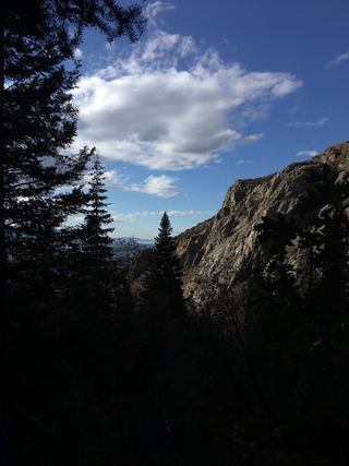 Lower Bells Canyon WaterfallSteep canyon trail from a signed trailhead to a short spurSalt Lake County, UT4.9 miNW
- Gloria FallsResearched visit notesSalt Lake County, UT4.9 miNE
- Ghost FallsSigned Corner Canyon trails from a trailhead lot; shared with bikesSalt Lake County, UT4.9 miW
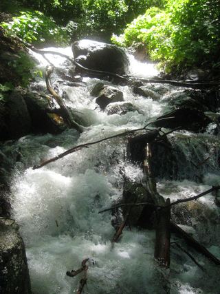 Rocky Mouth Canyon WaterfallGuide: short trail from Wasatch BoulevardSalt Lake County, UT5.0 miNW
- Lisa FallsRoute and parking researchedSalt Lake County, UT5.2 miN
- Upper Lisa FallsSalt Lake County, UT5.5 miN
- Blackjack WaterfallSalt Lake County, UT7.0 miNE
- Scout FallsNational forest trail route documented; recreation pass and weekend timed entryUtah County, UT7.3 miSE