Scout Falls
Utah County, Utah
Your visit at a glance
- Waterfall height
- Not recorded
- Location
- Utah County, Utah
- Access status
- National forest trail route documented; recreation pass and weekend timed entry
- The walk
- About 3 miles round trip, per Road Trip Ryan; its route map line is 2.95 miles
- Ground & access
- Steady climb on a busy, rocky trail; the last section to the falls is steep and rocky, with one rough spot over tree roots. Watch children near steep slopes.
Scout Falls is a mossy, multi-tier waterfall that pours down a limestone cliff on the north side of Mount Timpanogos. From the Timpooneke Trailhead, head south and go straight through the 4-way junction just past the start (Salamander Flat Trail is left, Equestrian Campground Trail is right). The trail climbs; at about 1.1 miles a social path leaves left at the first switchback, but it is a steep, loose route. Continue up the main trail to the switchback at about 1.4 miles and take the more common side trail east to the falls. There is one rough spot over a mess of tree roots. Return the same way.
Plan your visit
Timpooneke Trailhead in Timpooneke Campground off UT-92 (Alpine Loop), Timpooneke Trail south, then the Scout Falls side trail east at the switchback about 1.4 miles up
Road Trip Ryan lists the hike as 3 miles and its route map line as 2.95 miles, with the common Scout Falls side trail leaving the main trail at about 1.4 miles.
Steady climb on a busy, rocky trail; the last section to the falls is steep and rocky, with one rough spot over tree roots. Watch children near steep slopes.
Where to start
Timpooneke Trailhead parking lot, about 0.3 mile up the main road of Timpooneke Campground, 8.1 miles up UT-92 from the American Fork Canyon fee booth.
Timing & water
Late spring, summer and fall, per Road Trip Ryan.
Before you go
A recreation pass must be displayed at the Timpooneke Trailhead every day: the American Fork Canyon fee, a forest annual pass, or a federal America the Beautiful pass. In the summer and early fall permit season, a timed-entry ticket from Recreation.gov is also required on Saturdays, Sundays and holidays from midnight to noon.
Visitor informationVisit sources
More waterfalls nearby
Within 40 straight-line miles. Road and trail distances will differ.
- Stewart FallsVisitor route and trailhead documented; recreation fee at the Alpine Loop fee boothUtah County, UT2.8 miSE
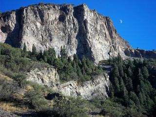 Battle Creek FallsPublished guidebook route and trailhead documentedUtah County, UT4.4 miSW
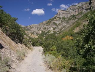 Grove Creek FallsPartial guide: trail to two waterfall viewpoints; which falls this listing marks is not confirmedUtah County, UT4.5 miSW
- Lost Creek FallsPartial guide: steep trail, unclear paths near the fallsUtah County, UT4.9 miS
- Upper FallsFirsthand trail guide; check current closuresUtah County, UT5.7 miSE
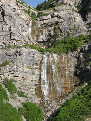 Bridal Veil FallsPaved park path and short trail to the base; also seen from the road607 ft (185 m) · Utah County, UT5.7 miS
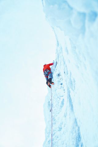 Upper Bridal Veil FallsUtah County, UT5.8 miS
- Smith Ditch Falls No. 2Utah County, UT6.1 miS
- Smith Ditch Falls No.1Unsigned foothill trail from a canyon park; rockfall hazardUtah County, UT6.2 miS