Grove Creek Falls
Utah County, Utah
Your visit at a glance
- Waterfall height
- Not recorded
- Location
- Utah County, Utah
- Access status
- Partial guide: trail to two waterfall viewpoints; which falls this listing marks is not confirmed
- The walk
- First waterfall viewpoint at 1.6 miles and second waterfall at about 2 miles from the trailhead, one way, per Trails Trekker; Deseret News gives 4.25 miles round trip to the upper waterfall
- Ground & access
- Steep, rocky, sun-exposed trail with switchbacks, ledges and drop-offs; 1,520 feet of gain to the upper waterfall. Deseret News does not recommend it for families with small children.
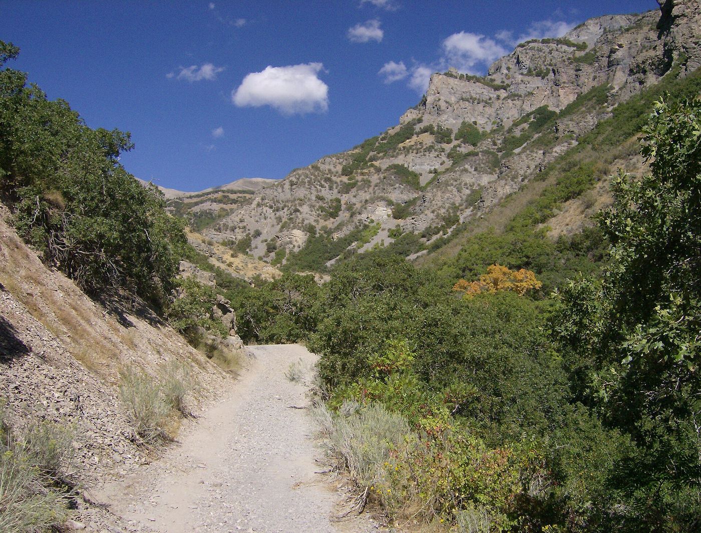
Grove Creek Canyon above Pleasant Grove has two waterfalls seen from the Grove Creek Trail. From the trailhead parking area, follow the dirt road until the trail splits off uphill, then climb switchbacks. The trail is exposed and runs along the steep side of the canyon, with ledges and drop-offs. The first waterfall is seen from a rock that juts into the canyon; the trail does not go close to it. The second, upper waterfall comes into view soon after, with a bench, and the trail passes near it but not to it. Return the same way. This is a partial guide because the sources do not say which of the two falls this listing marks.
Plan your visit
Grove Creek Trailhead at the end of Grove Creek Drive (500 North) in Pleasant Grove, Grove Creek Trail up switchbacks and along the canyon side to a viewpoint of the lower waterfall, then on to the upper waterfall viewpoint and bench
Trails Trekker puts the first waterfall viewpoint 1.6 miles and the second waterfall roughly 2 miles from the trailhead. Deseret News says the trail opens to the upper waterfall at two miles and lists 4.25 miles round trip with 1,520 feet of gain.
Steep, rocky, sun-exposed trail with switchbacks, ledges and drop-offs; 1,520 feet of gain to the upper waterfall. Deseret News does not recommend it for families with small children.
Where to start
Parking area and trailhead at the end of Grove Creek Drive (500 North) in Pleasant Grove, reached from I-15 Exit 275. Vault toilets at the trailhead.
Timing & water
No season is given by the sources. The trail is exposed to sun for much of the way.
Before you go
No fee is mentioned.
Visitor informationVisit sources
More waterfalls nearby
Within 40 straight-line miles. Road and trail distances will differ.
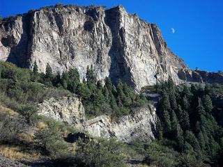 Battle Creek FallsPublished guidebook route and trailhead documentedUtah County, UT1.0 miSE
- Scout FallsNational forest trail route documented; recreation pass and weekend timed entryUtah County, UT4.5 miNE
- Lost Creek FallsPartial guide: steep trail, unclear paths near the fallsUtah County, UT5.4 miE
- Stewart FallsVisitor route and trailhead documented; recreation fee at the Alpine Loop fee boothUtah County, UT5.4 miE
- Smith Ditch Falls No. 2Utah County, UT6.0 miSE
- Smith Ditch Falls No.1Unsigned foothill trail from a canyon park; rockfall hazardUtah County, UT6.0 miSE
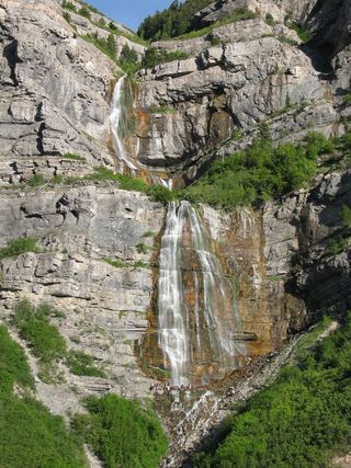 Bridal Veil FallsPaved park path and short trail to the base; also seen from the road607 ft (185 m) · Utah County, UT6.1 miSE
 Upper Bridal Veil FallsUtah County, UT6.2 miSE
- Upper FallsFirsthand trail guide; check current closuresUtah County, UT6.5 miE